
Dirt Bike Trails
Near Granby, Colorado
Explore All Dirt Bike Trails Near Granby, Colorado
Dirt Bike Trails Near Granby, Colorado
Discover the best dirt bike trails near you. Browse trail maps, check difficulty ratings, and find your next adventure — whether you're looking for a quick ride or an all-day expedition.

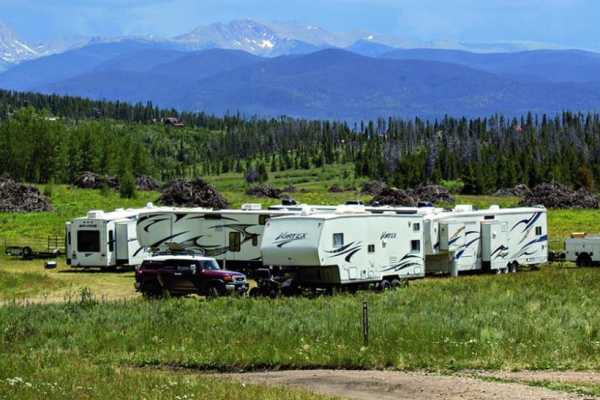
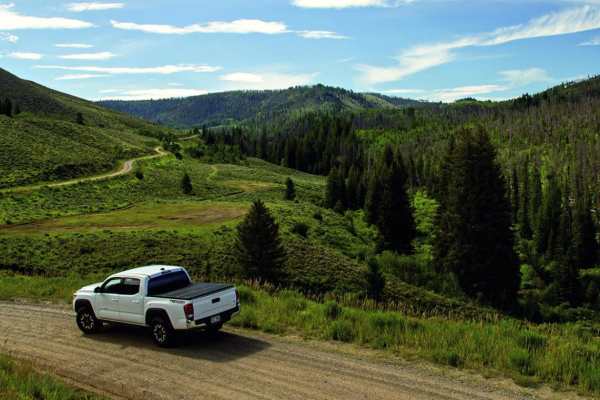
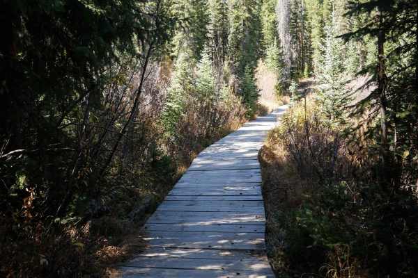
Cottonwood Pass
This is a gravel road that was the earliest route into Sulphur Springs from the East. Surrounded by established ranch land and scattered aspen and pine trees. Also known as County Road 55. The summit is at 8,904 feet. Perfect for fall peaking. There are some side trails (Big Meadows road) that are ...
Learn more about Cottonwood Pass
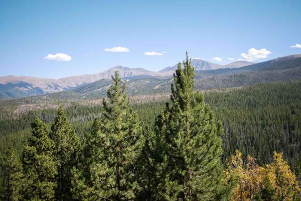
Stillwater Pass
The drive is nice and easy to an amazing lake with incredible mountain views. You can access the Idleglen OHV Area from here where you'll find a ton of ATV, dirt bike and snowmobile trails. If you want more of a challenge, try Gravel and Little Gravel Mountain trails nearby.
Learn more about Stillwater Pass
Strawberry BLM Road #2751
Traveling on this BLM road provides easy access to secluded dispersed camping all along its length and at the ends, as well as access to great mountain biking and stunning views of Fraser Valley and Byers Peak. The road is well-maintained and smooth for most of its length but gets narrower, eroded, ...
Learn more about Strawberry BLM Road #2751
Meadow Creek Reservoir CR 84
CR 84 begins just east of Highway 40 and is the primary access to Meadow Creek Reservoir. This route follows Meadow Creek, which provides ample dispersed camping opportunities. The reservoir is a popular summer beach hangout with beautiful views, fishing, hiking, camping, paddle boarding, and lots o...
Learn more about Meadow Creek Reservoir CR 84
Meadow Creek Reservoir CR 848
The primary access to Meadow Creek Reservoir starts on County Road 84. This route takes a more off-road and scenic drive to start, meeting up with CR 84 about 2/3 of the way up to Meadow Creek Reservoir. The reservoir is a popular summer beach hangout with beautiful views, fishing, hiking, camping, ...
Learn more about Meadow Creek Reservoir CR 848
Beaver Creek, Muddy Creek
A cool loop that will test your mud bogging ability. It is likely you will get stuck, so this is a great trail to take with a few of your friends. It's also very handy to have a winch. There is some good camping along Beaver Creek. Open June 15 to November 15.
Learn more about Beaver Creek, Muddy Creek
Little Gravel Mountain
Wind up through a thick forest and play on some difficult obstacles along the way. There is an option to connect with Camway Trail, but only for vehicles 50" wide or less. Open June 15 to November 15.
Learn more about Little Gravel Mountain
Kawuneeche Road
This easy two-lane, graded road connects Stillwater Pass to the South with North and South Supply Creek Trails to the North. Rolling hills and great views of Lake Granby and Grand Lake are abundant along this route. You will come across multiple dispersed camping sites and access to many OHV trails....
Learn more about Kawuneeche Road
Elk Meadow ATV
This is a very easy and wide two-track that goes through the Arapaho National Forest for a mile. It goes through grassy meadows and pine trees, with small loose rocks on the surface, shallow ruts, and big rollers. It winds through the trees, with some sharp corners, and small rocks filling in the ru...
Learn more about Elk Meadow ATV
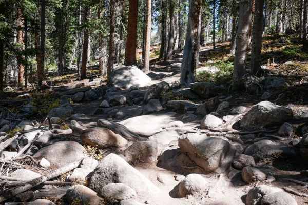
Lake Evelyn Road - FS 136
Forest Service Road 136, known as Lake Evelyn Road, branches off from Keyser Creek Road (FS 139) and heads east into a more remote and rugged section of the Arapaho National Forest. While it begins relatively smooth, the road quickly narrows to a single lane with limited pullouts, and the terrain be...
Learn more about Lake Evelyn Road - FS 136
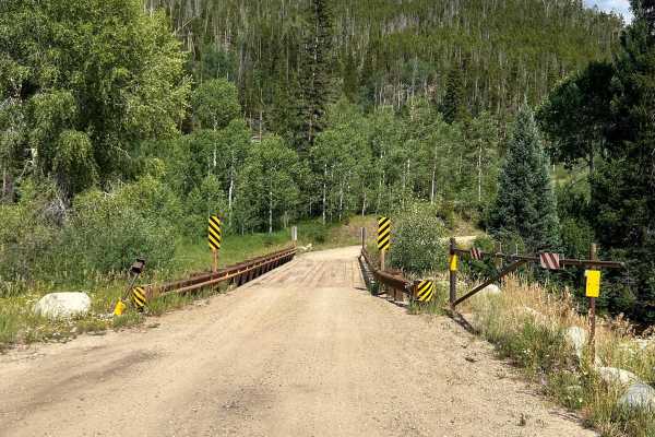
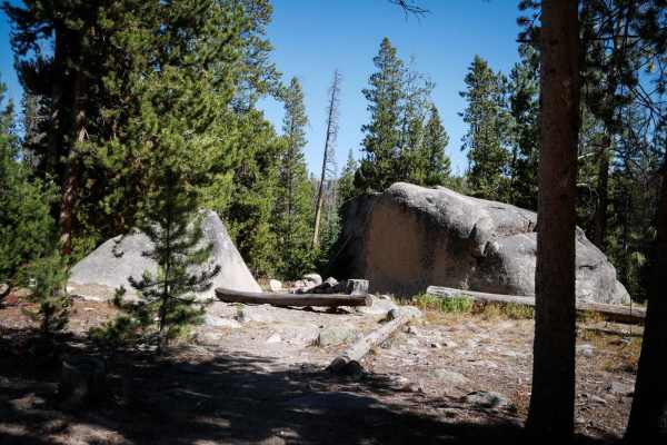
Keyser Creek Road - FS 139
Forest Service Road 139, also known as Keyser Creek Road, offers a scenic and peaceful off-road experience through the heart of Grand County. The trail begins just off County Road 3 near the Horseshoe Campground, where a single-lane bridge crosses Keyser Creek. From the start, FS 139 closely follows...
Learn more about Keyser Creek Road - FS 139
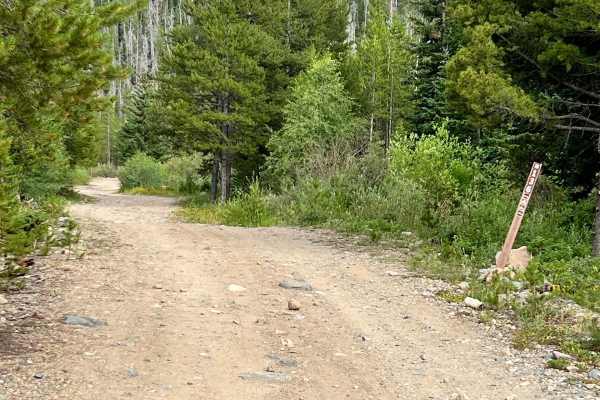
D2
D2 is a 1.6-mile-long ATV trail in the Elk Meadow Trail System near Fraser, Colorado. The west end starts behind a fence on a wide path that is road-width, going straight and fast between pines and aspens. There are some ruts through the trail and a bit of loose and embedded rock, but it's mostly fl...
Learn more about D2
Double Bit
This is one of a few single tracks within the Elk Meadows Trail System near Fraser, Colorado. It starts off as a tight and winding trail through the pines and aspens, with very quick and sharp corners through the trees. The trail itself is very smooth and flowy, with not many rocks. It crosses a sma...
Learn more about Double Bit
Sunken Bridges ATV
Sunken Bridges is a short ATV trail in the Elk Meadow trail system near Fraser, Colorado. It connects the northern part of the trail system down to the southern trails like Elk Creek Loop without having to do as much road mileage. It's easy for the entire .6 miles. It's straight and flat and wide be...
Learn more about Sunken Bridges ATV
Upper Elk Creek ATV
Upper Elk Creek ATV trail goes for 2.6 miles through the Arapaho National Forest near Fraser, Colorado, connecting Tunnel 3 Area Road to West Elk Creek Road. From the west, it climbs up the mountain with several switchbacks that have a bit of loose rock and are tighter and steeper than the switchbac...
Learn more about Upper Elk Creek ATV
WTB
This 3.5-mile long single track near Fraser, Colorado, is scenic and fun, with some rocky sections, and a couple of wooden mountain bike features to play on. From the west entrance, it winds up the mountainside, switchbacking up gradual hairpin turns. The trail is smooth and flowy, with not many roc...
Learn more about WTB
D4
This is a very short single track that connects WTB down to Byers Peak Road. At the northern entrance, there is a nonmotorized segment of D4 as well, so you want to make sure to stay on the motorized section. It's a straight and flat trail through pine trees and meadows and is wide between the trees...
Learn more about D4
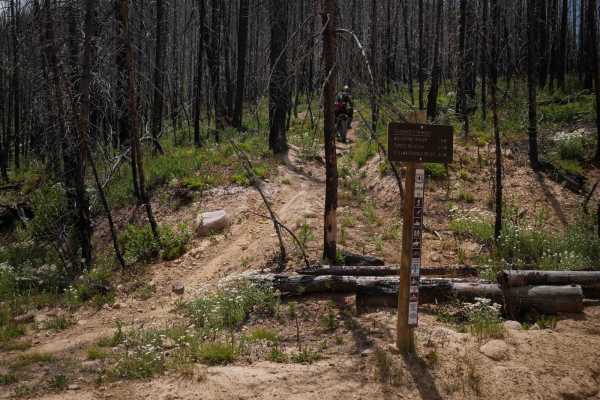
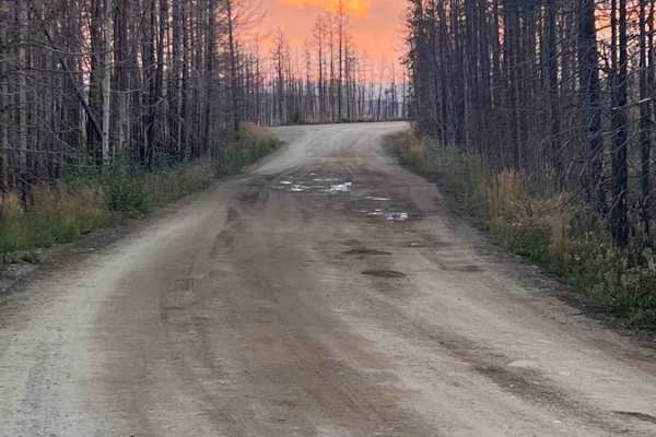
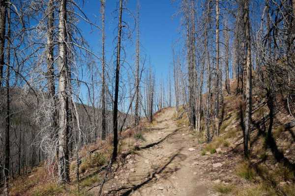
Gilsonite Trail
Gilsonite Trail is a 3.8-mile-long single track in the Medicine Bow Mountains of Arapaho National Forest, passing entirely through the 2020 East Troublesome Fire burn area. Significant trail work has been completed to reopen and maintain the route, though riders should remain alert for lingering haz...
Learn more about Gilsonite Trail
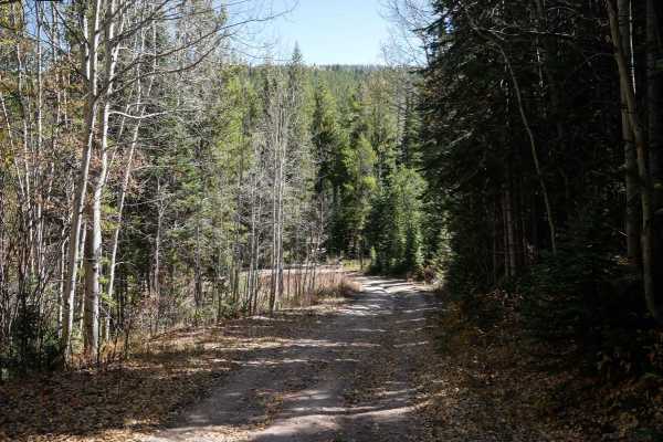
Richey Creek ATV Trail
Richey Creek is a wide two-track through pine trees, with small loose rocks in the trail. It has easy curves as it follows the edge of the mountain, with lots of branches and cut logs sticking out from the trees that you need to watch out for. It crosses a little muddy section, and goes pretty strai...
Learn more about Richey Creek ATV Trail
Elk Creek ATV Loop
The Elk Creek Loop makes a 4-mile loop off of the Upper Elk Creek ATV Trail. The east entrance starts as a wide ATV trail between the pine trees, with small pieces of rock in the trail. It has sudden dips and rollers to watch out for, and branches sticking over the trail. The trail splits for the no...
Learn more about Elk Creek ATV Loop
ATV trails near Granby, Colorado
Explore ATV-friendly trails near you. These trails are accessible for vehicles up to 50 inches wide, perfect for ATVs and smaller off-road machines.
Stillwater Pass
The drive is nice and easy to an amazing lake with incredible mountain views. You can access the Idleglen OHV Area from here where you'll find a ton of ATV, dirt bike and snowmobile trails. If you want more of a challenge, try Gravel and Little Gravel Mountain trails nearby.
Learn more about Stillwater Pass
Strawberry BLM Road #2751
Traveling on this BLM road provides easy access to secluded dispersed camping all along its length and at the ends, as well as access to great mountain biking and stunning views of Fraser Valley and Byers Peak. The road is well-maintained and smooth for most of its length but gets narrower, eroded, ...
Learn more about Strawberry BLM Road #2751
Meadow Creek Reservoir CR 84
CR 84 begins just east of Highway 40 and is the primary access to Meadow Creek Reservoir. This route follows Meadow Creek, which provides ample dispersed camping opportunities. The reservoir is a popular summer beach hangout with beautiful views, fishing, hiking, camping, paddle boarding, and lots o...
Learn more about Meadow Creek Reservoir CR 84
Meadow Creek Reservoir CR 848
The primary access to Meadow Creek Reservoir starts on County Road 84. This route takes a more off-road and scenic drive to start, meeting up with CR 84 about 2/3 of the way up to Meadow Creek Reservoir. The reservoir is a popular summer beach hangout with beautiful views, fishing, hiking, camping, ...
Learn more about Meadow Creek Reservoir CR 848
UTV/side-by-side trails near Granby, Colorado
Find UTV and side-by-side trails near you. These trails accommodate vehicles up to 60 inches wide, ideal for UTVs, side-by-sides, and wider off-road rigs.
Stillwater Pass
The drive is nice and easy to an amazing lake with incredible mountain views. You can access the Idleglen OHV Area from here where you'll find a ton of ATV, dirt bike and snowmobile trails. If you want more of a challenge, try Gravel and Little Gravel Mountain trails nearby.
Learn more about Stillwater Pass
Strawberry BLM Road #2751
Traveling on this BLM road provides easy access to secluded dispersed camping all along its length and at the ends, as well as access to great mountain biking and stunning views of Fraser Valley and Byers Peak. The road is well-maintained and smooth for most of its length but gets narrower, eroded, ...
Learn more about Strawberry BLM Road #2751
Meadow Creek Reservoir CR 84
CR 84 begins just east of Highway 40 and is the primary access to Meadow Creek Reservoir. This route follows Meadow Creek, which provides ample dispersed camping opportunities. The reservoir is a popular summer beach hangout with beautiful views, fishing, hiking, camping, paddle boarding, and lots o...
Learn more about Meadow Creek Reservoir CR 84
Meadow Creek Reservoir CR 848
The primary access to Meadow Creek Reservoir starts on County Road 84. This route takes a more off-road and scenic drive to start, meeting up with CR 84 about 2/3 of the way up to Meadow Creek Reservoir. The reservoir is a popular summer beach hangout with beautiful views, fishing, hiking, camping, ...
Learn more about Meadow Creek Reservoir CR 848
The onX Offroad Difference
onX Offroad combines trail photos, descriptions, difficulty ratings, width restrictions, seasonality, and more in a user-friendly interface. Available on all devices, with offline access and full compatibility with CarPlay and Android Auto. Discover what you're missing today!
Open Trail Map