Trail Overview
Kawuneeche Road offers an easy and scenic dirt route perfect for stock four-wheel-drive vehicles, SxSs, and beginners looking to explore the beautiful Arapaho National Forest near Grand Lake. Serving as a crucial connector trail, this graded two-lane road stretches roughly 4 miles, climbing from Stillwater Pass in the south to the North and South Supply Creek Trails in the north. Drivers will experience gentle rolling hills and minimal elevation changes as the trail ranges between 8,875 and 9,293 feet in elevation. Along the drive, expansive vistas open up, providing breathtaking views of Lake Granby and Grand Lake in the distance. The route is exceptionally accessible during the peak offroading season, offering a gentle introduction to the surrounding trail network.
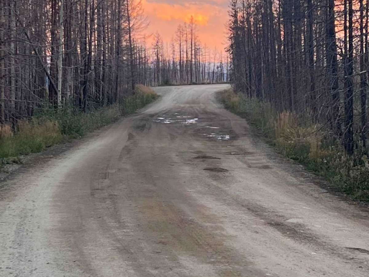
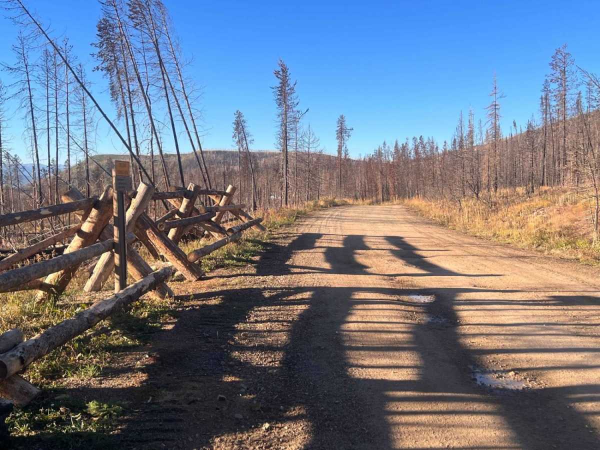
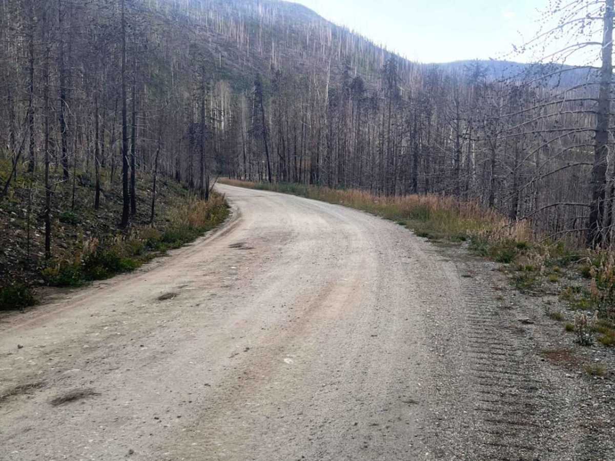
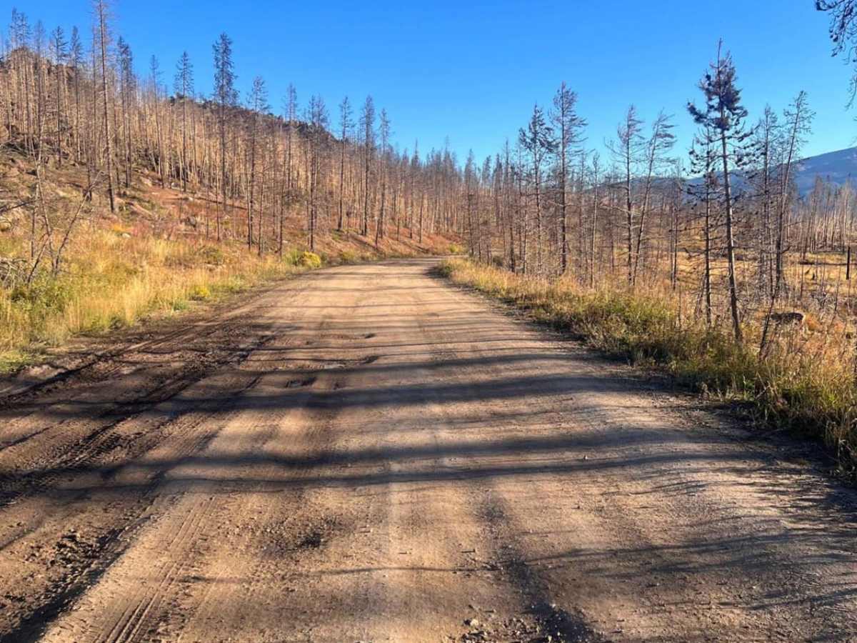
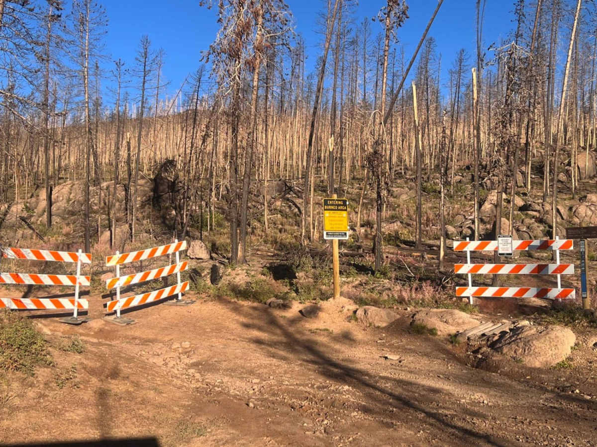
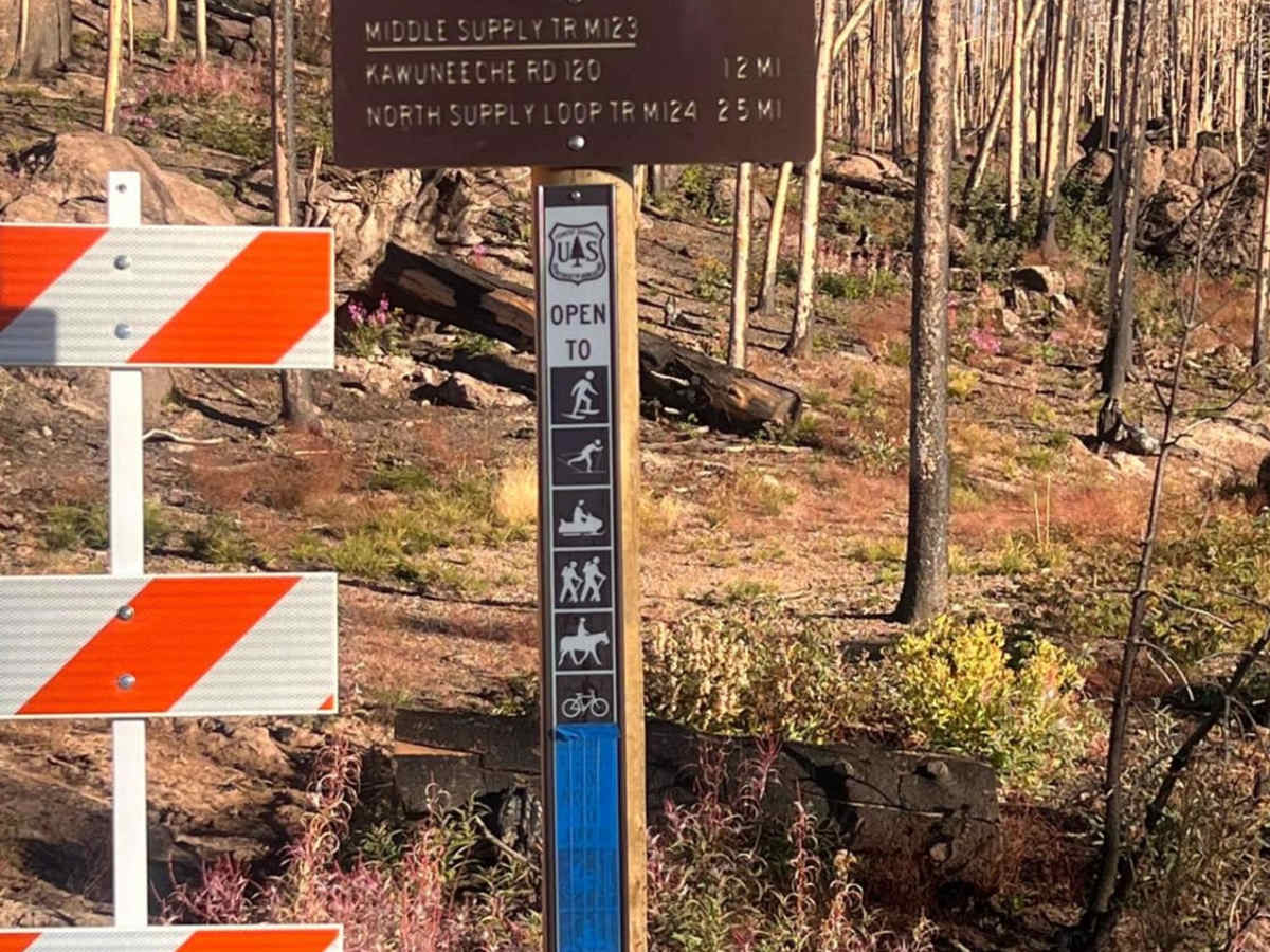
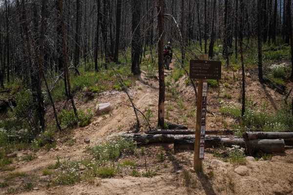
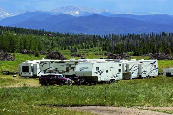
As you traverse the route, you will pass through portions of the East Troublesome Fire burn scar, where the contrasting landscape showcases nature's recovery alongside beautiful wildflowers. Numerous dispersed camping sites dot the roadside, making it a fantastic basecamp for those wanting to spend a weekend exploring the area. Multiple intersecting OHV trails branch off the main road, though users should stay alert and respect local signage as some side trails remain closed due to fire recovery efforts. Because of its easy technical rating of 2, most high-clearance vehicles will have no trouble navigating this dirt road, though winter conditions can bring deep snow and lack of maintenance. To access the trailhead, follow Stillwater Pass Trail from Highway 34 until the road forks, then stay right toward Kawuneeche Road.
Access Description
The road is a two-lane graded dirt route with an easy technical rating of 2. It is generally accessible to stock four-wheel-drive vehicles and SxSs during the summer and fall, but it is not maintained in the winter and may become impassable due to snow. Visitors should note that the trail travels through the East Troublesome Fire burn scar, meaning some adjacent OHV side trails remain closed for recovery.