Trail Overview
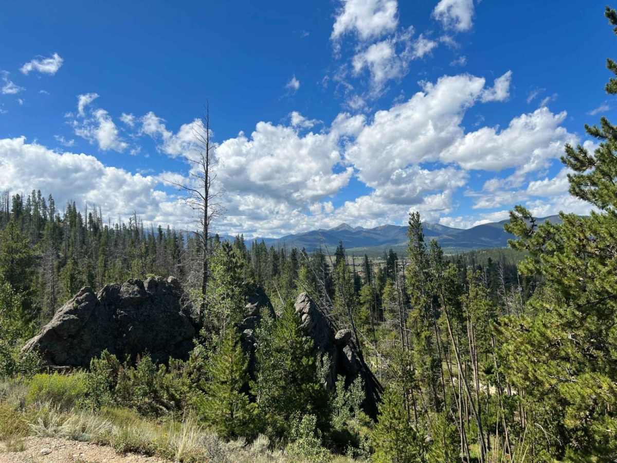
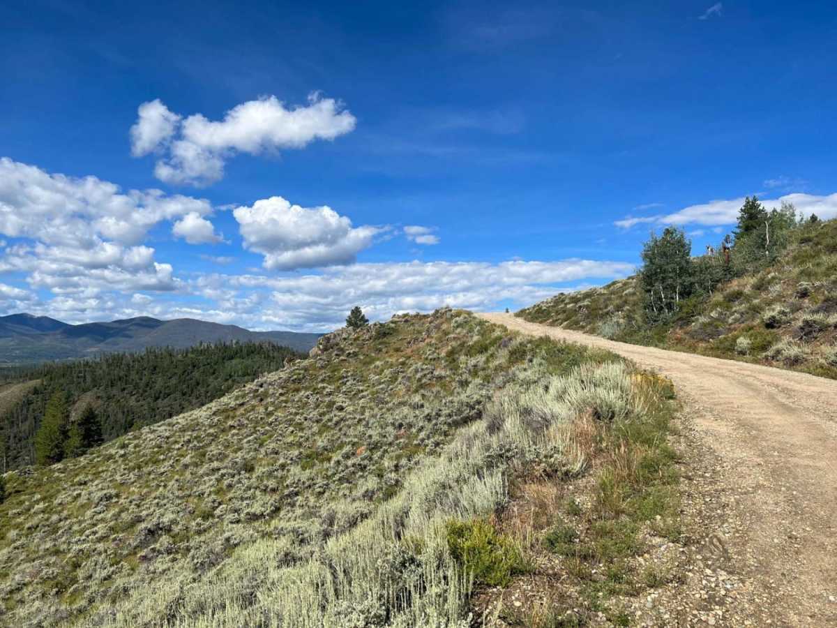
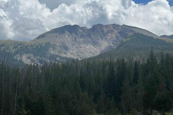
Strawberry BLM Road #2751 is an excellent route for beginners, campers, and scenic drivers looking to explore the beautiful Fraser Valley with views of Byers Peak. Spanning approximately 16.9 miles near Tabernash, Colorado, this trail offers a highly accessible adventure that climbs from an elevation of 8,338 feet up to a peak of 9,545 feet. Offroaders can expect a scenic journey through towering pines and open meadows, providing numerous opportunities to stop and take in the panoramic mountain vistas. The route also serves as a gateway to excellent dispersed camping sites scattered along the road, as well as trails for mountain biking, hiking, and fly fishing in nearby streams.
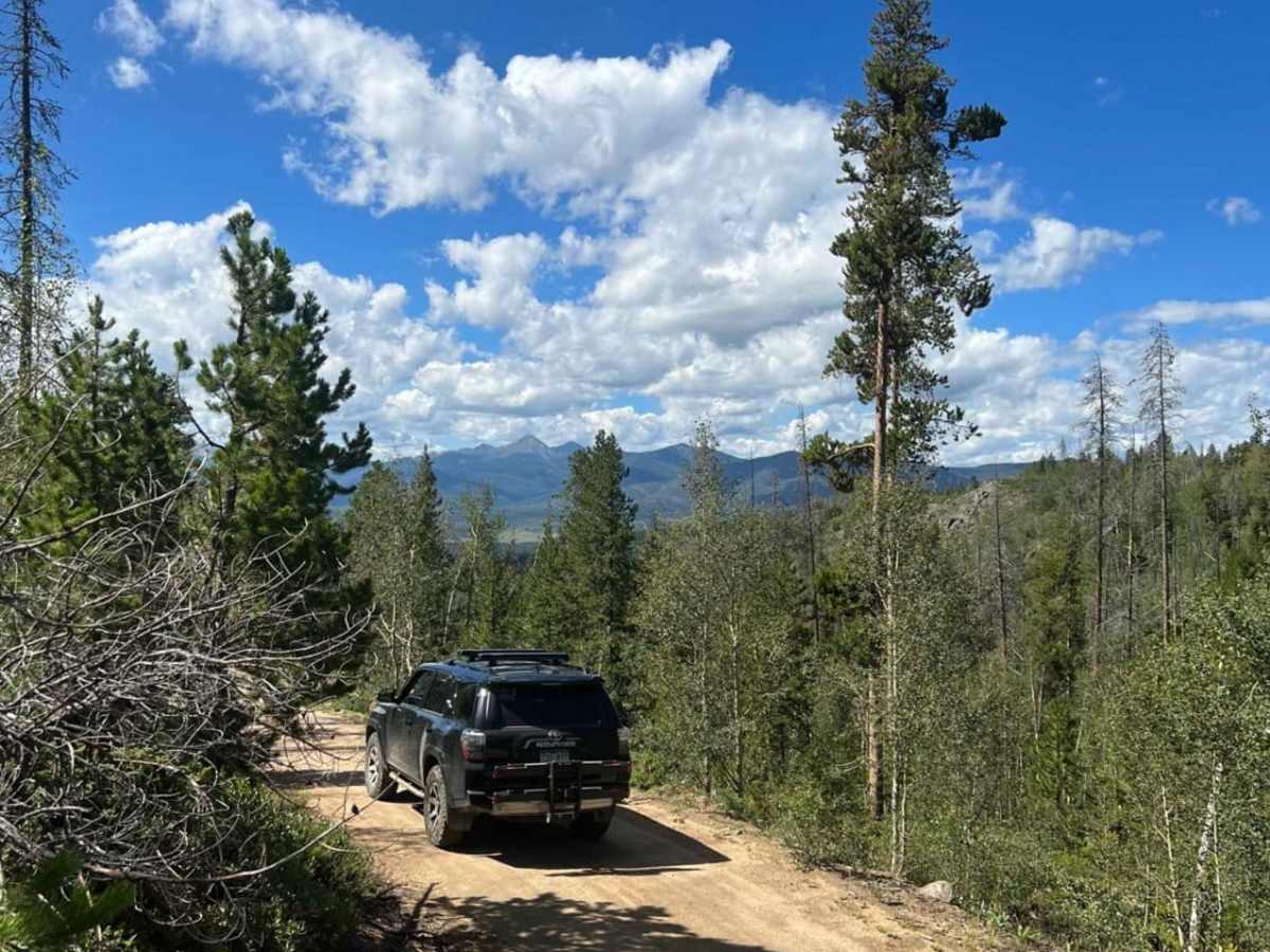
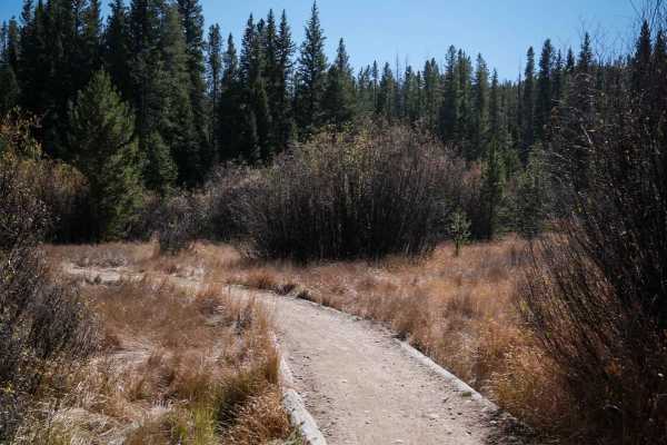
With a technical rating of 2, the primary surface is dirt, and the majority of the road is well-maintained and smooth enough for standard two-wheel-drive vehicles during dry summer conditions. However, as the route pushes into its more remote northern sections near the border of Rocky Mountain National Park, the road narrows and becomes increasingly rugged. Drivers will encounter sections of erosion, mud, standing water, overgrown brush, and occasional loose rocks measuring up to 12 inches. A high-clearance four-wheel-drive vehicle is highly recommended for these rougher segments, especially when rain or snow makes the terrain slick and challenging.
Difficulty
The vast majority of this trail is dirt, however traveling to the most remote sections one will encounter rocks up to 12 inches, mud, water, road erosion, downed trees, and overgrowth. 2WD vehicles can travel most sections of this trail in good summer conditions. 4WD is recommended for wet rain/snow conditions on rougher sections.