Trail Overview
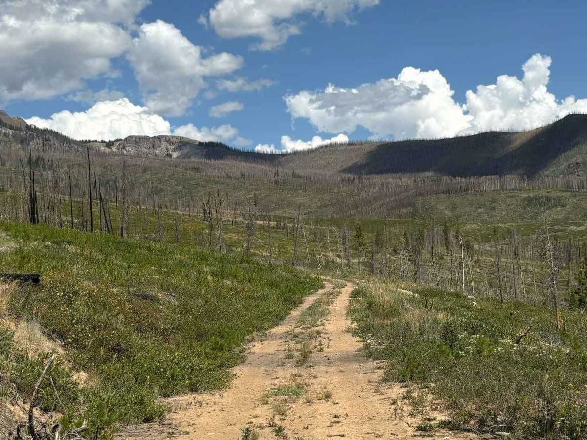
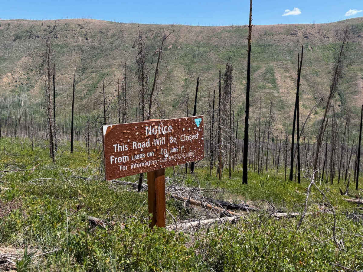
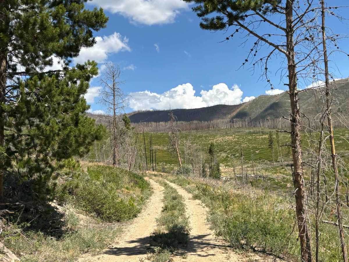
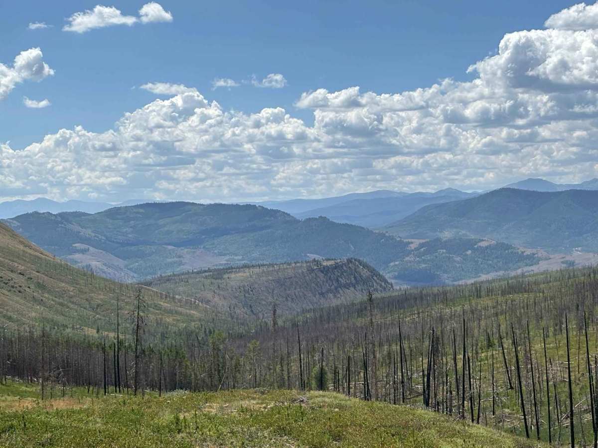
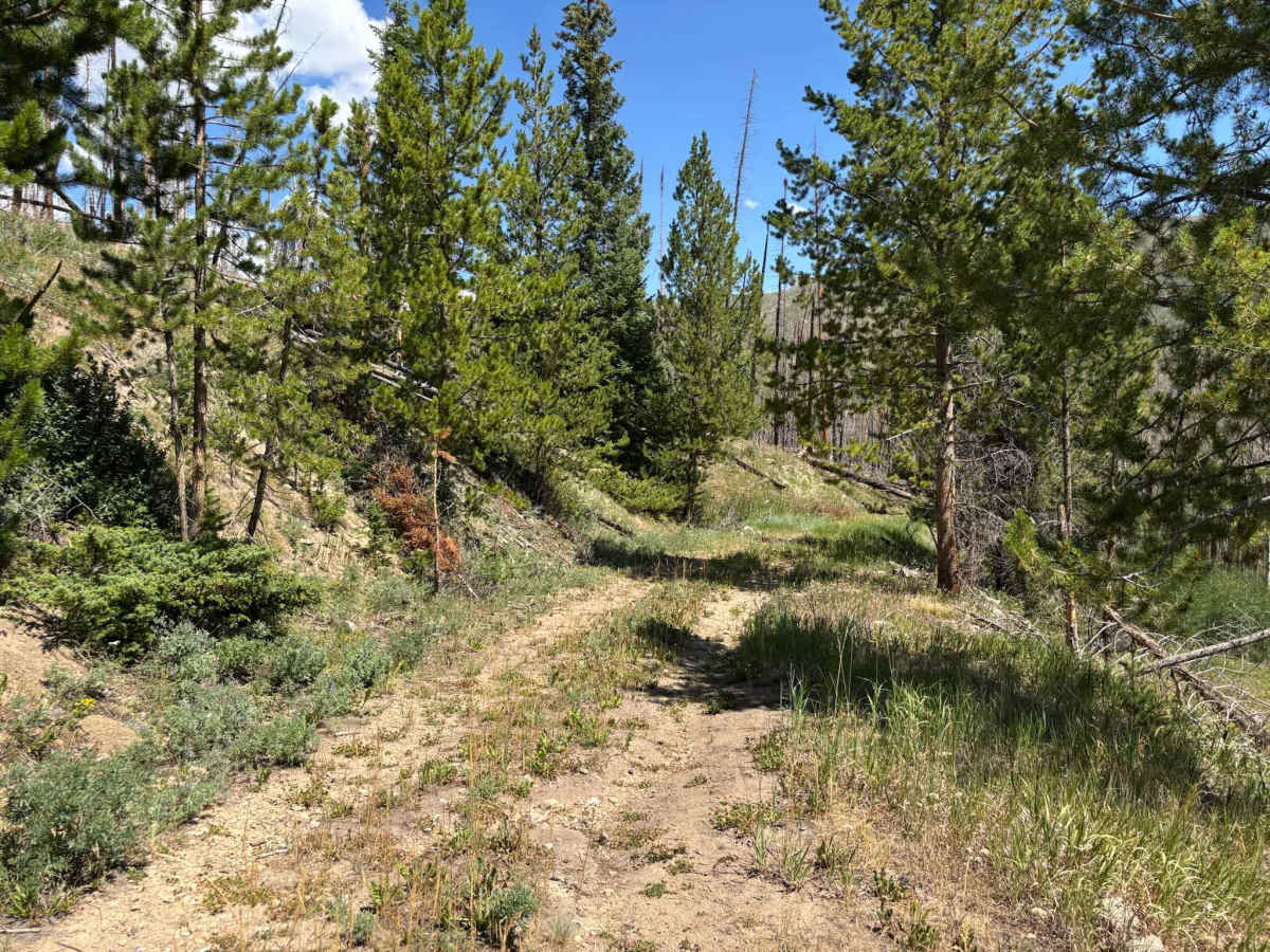
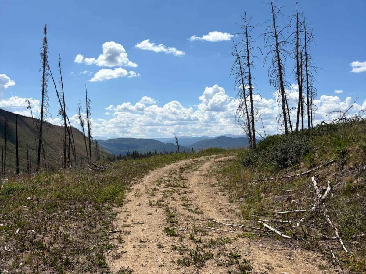
This route branches Route 2755 and descends into the valley surrounding Kinney Creek, passing through an old burn scar with many downed trees. Along the way, it offers scenic views of McQueary Ridge and provides access to the quieter, more secluded areas of the valley. Note that this trail is closed from Labor Day to June 1st.
Difficulty
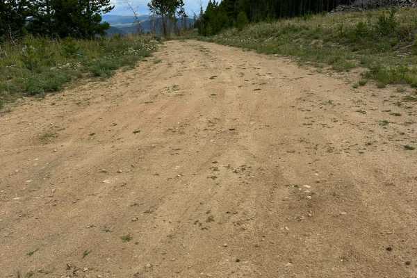
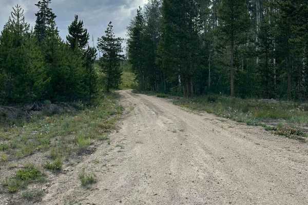
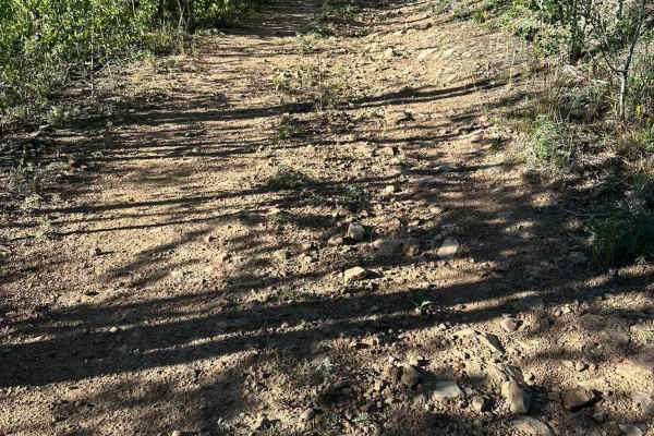
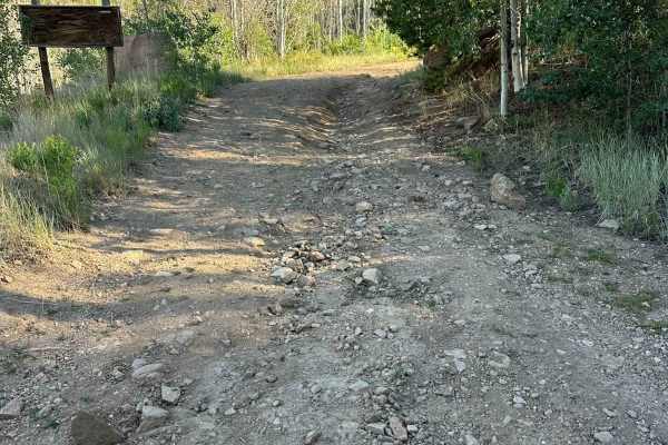
Kinney Creek offers a wonderfully relaxed and highly accessible off-road driving experience, earning its easy level 2 rating thanks to a predominantly smooth, consistently graded surface composed of packed dirt and fine gravel. Completely lacking deep ruts, challenging off-camber sections, or any significant rocky obstacles, this gentle, 0.8-mile route is perfectly suited for novice off-roaders and is easily manageable for standard SUVs, trucks, and even some cars. The primary considerations for travelers are strictly adhering to the seasonal closure from Labor Day to June 1 and being prepared to safely maneuver and turn around at the intentional tree blockage that currently marks the trail's abrupt end.