BLM Route 2756

Total Miles1
Technical Rating
2Easy
Best TimeSummer, Fall
Trail TypeFull-Width Road
Accessible By
Open Trail Map

Trail Overview

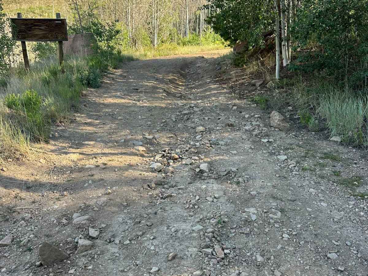
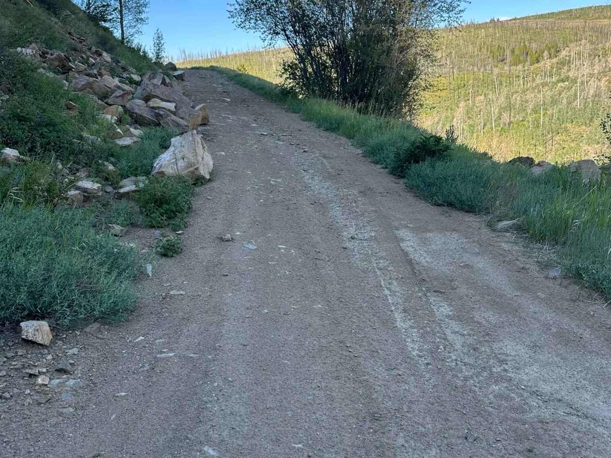
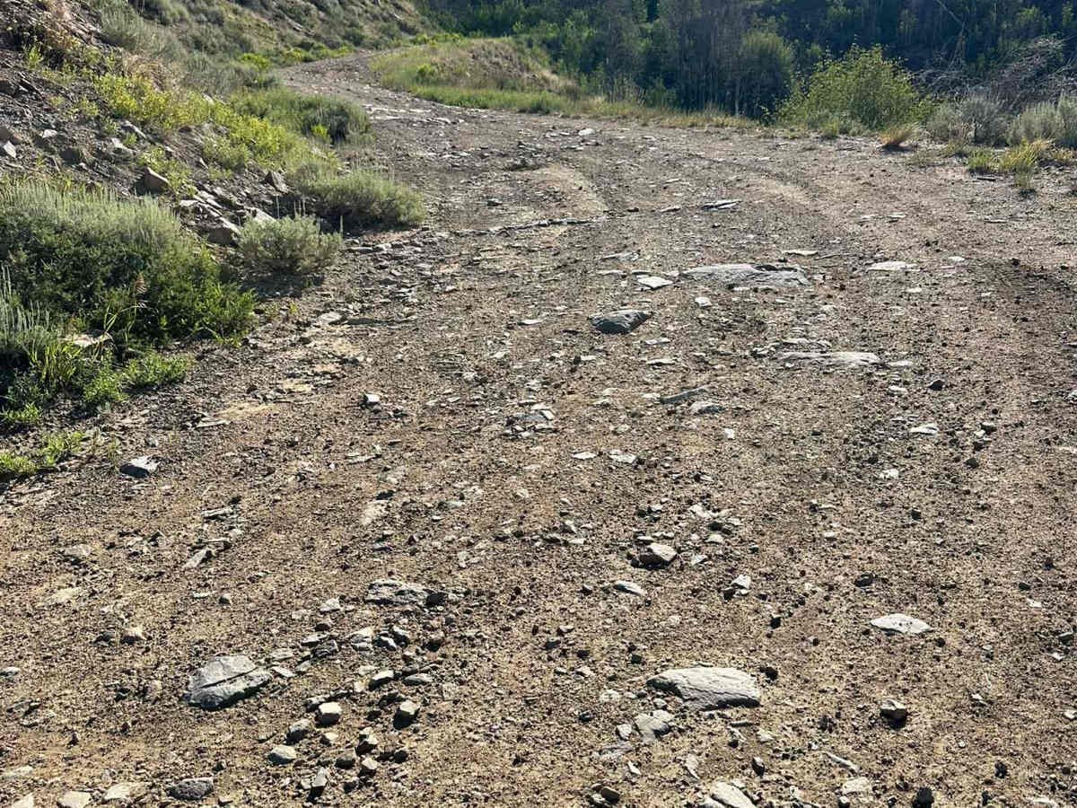
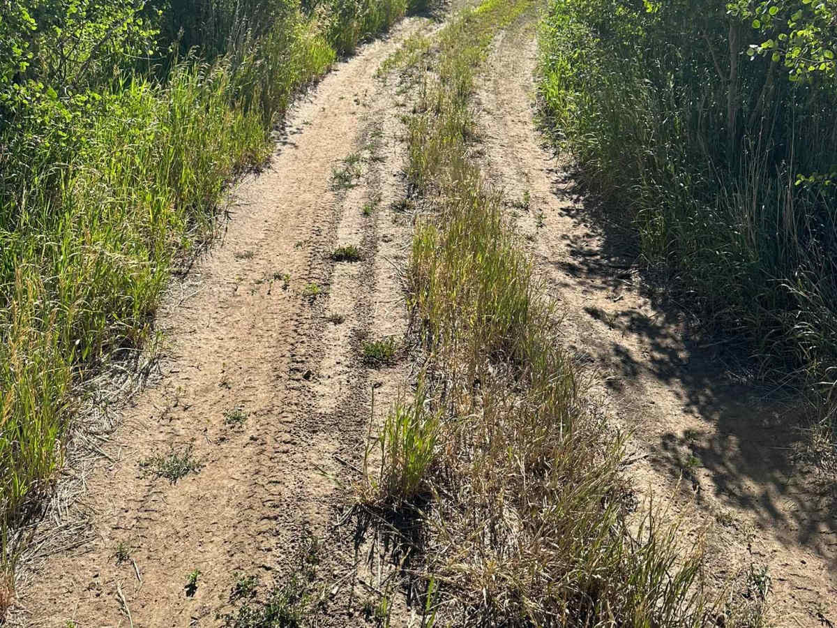
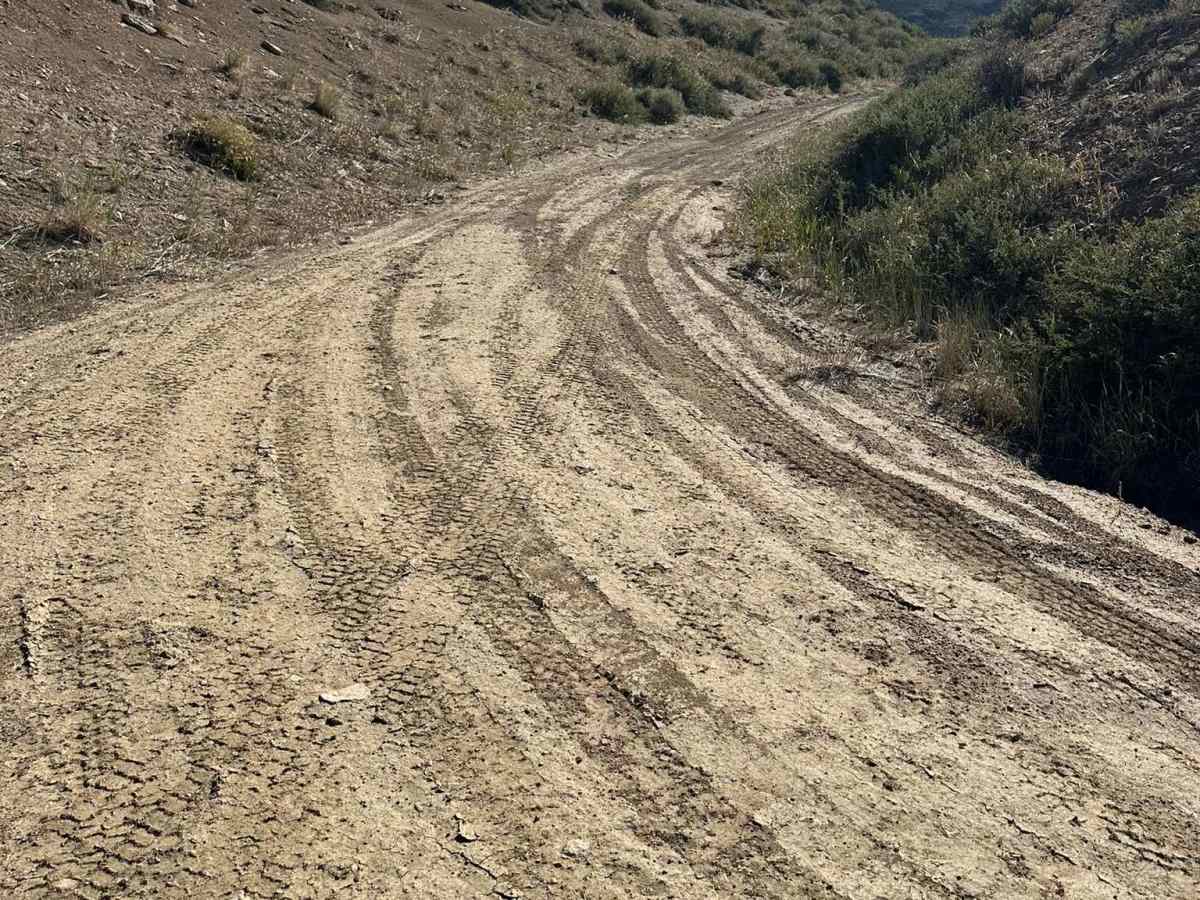
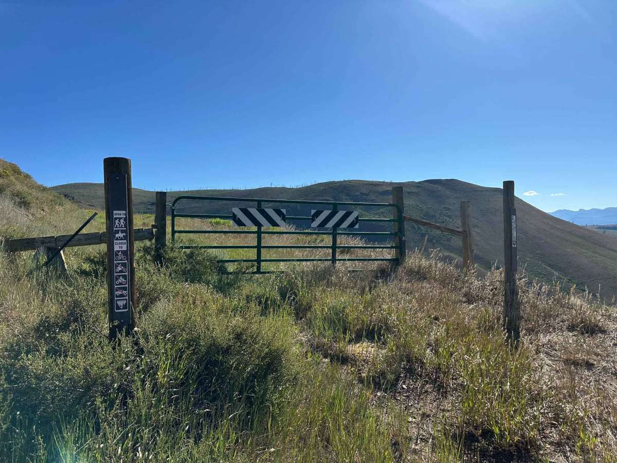
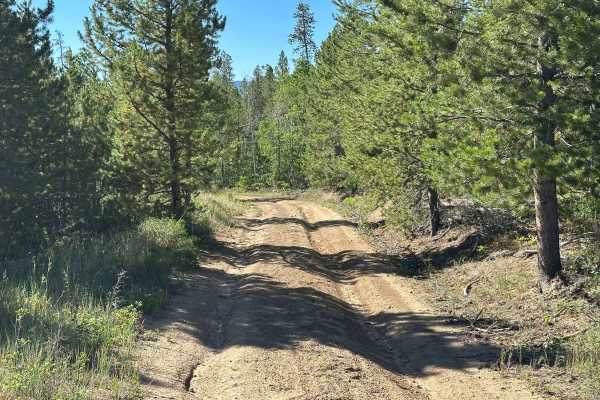
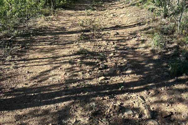
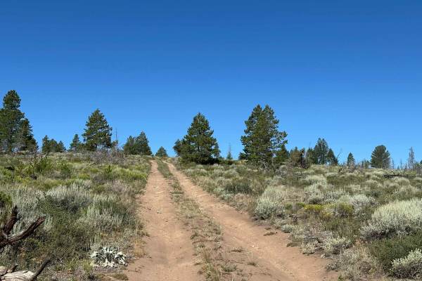
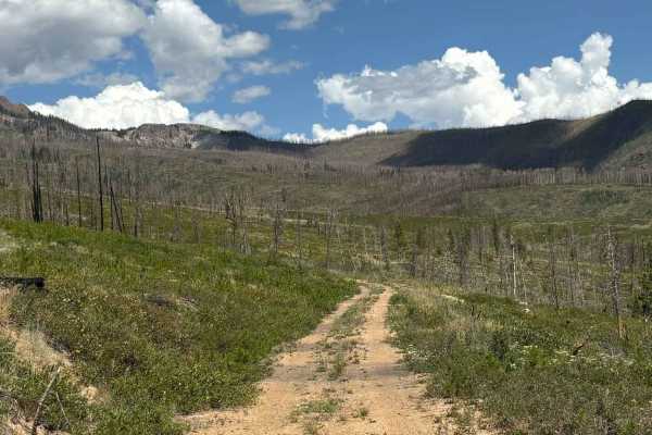
BLM Route 2756 begins with a short, steep climb featuring ruts and washouts before transitioning to a hard-packed dirt surface. Shortly afterward, the route traverses a brief shelf road section with scenic views. Beyond the shelf road, the route becomes increasingly overgrown as it climbs to an overlook of the surrounding landscape. BLM Route 2756 ends at a U.S. Forest Service closure. While motorized travel is no longer permitted beyond this point, hikers and equestrians may continue past the closure to explore the area.

Photos of BLM Route 2756

Difficulty

Some ruts and a short shelf section give this trail a difficulty rating of 2.

Technical Rating

2

BLM Route 2756 Trail can be accessed by the following ride types:

  • Single Track
  • 50 Inch
  • 60 Inch
  • High Clearance
  • Full Width

BLM Route 2756 Map

The onX Offroad Difference

onX Offroad combines trail photos, descriptions, difficulty ratings, width restrictions, seasonality, and more in a user-friendly interface. Available on all devices, with offline access and full compatibility with CarPlay and Android Auto. Discover what you're missing today!

Open Trail Map