Parshall Bureau of Land Management Access

Total Miles0.8
Technical Rating
2Easy
Best TimeSpring, Summer, Fall, Winter
Trail TypeFull-Width Road
Accessible By
Open Trail Map

Trail Overview

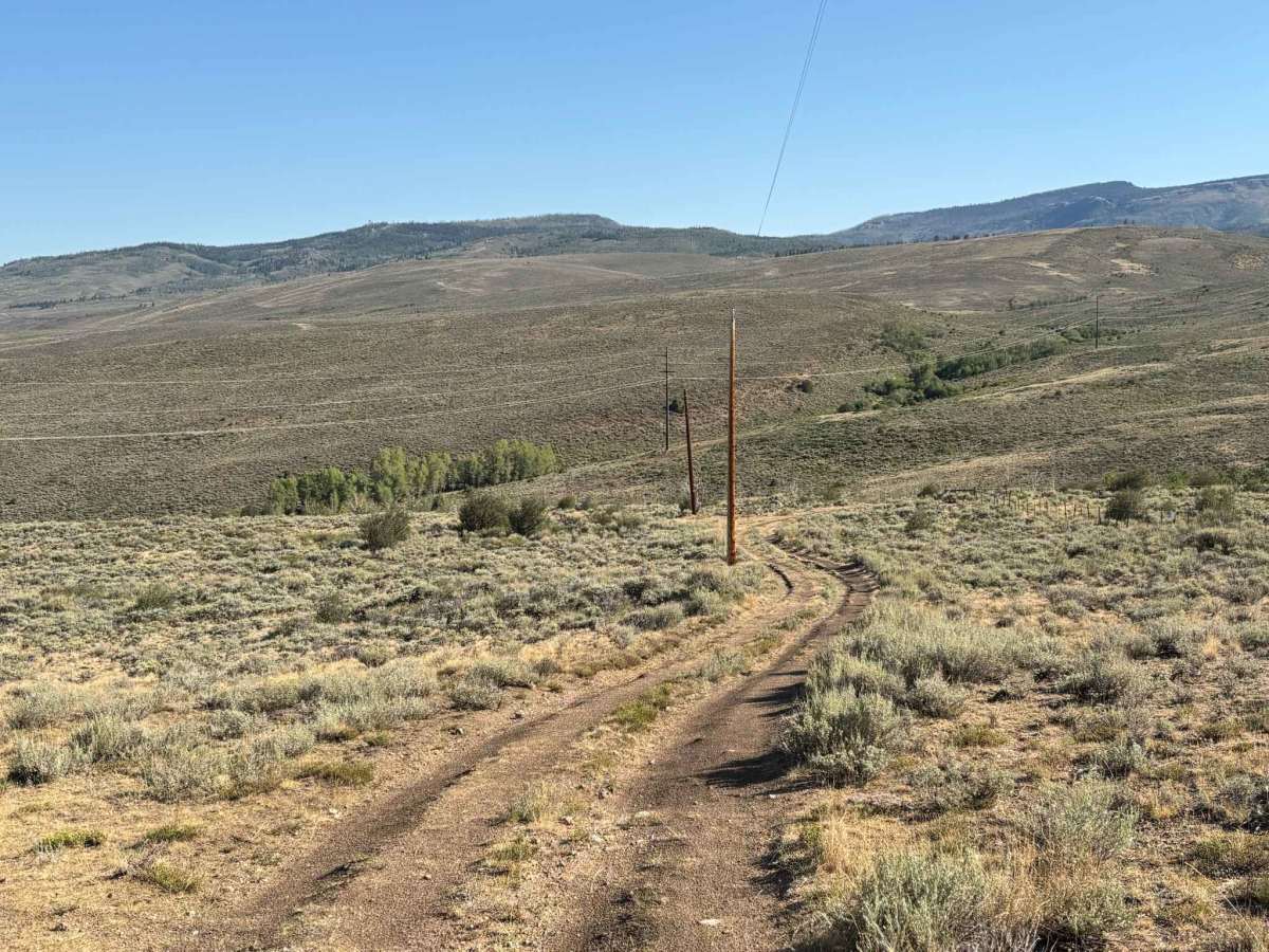
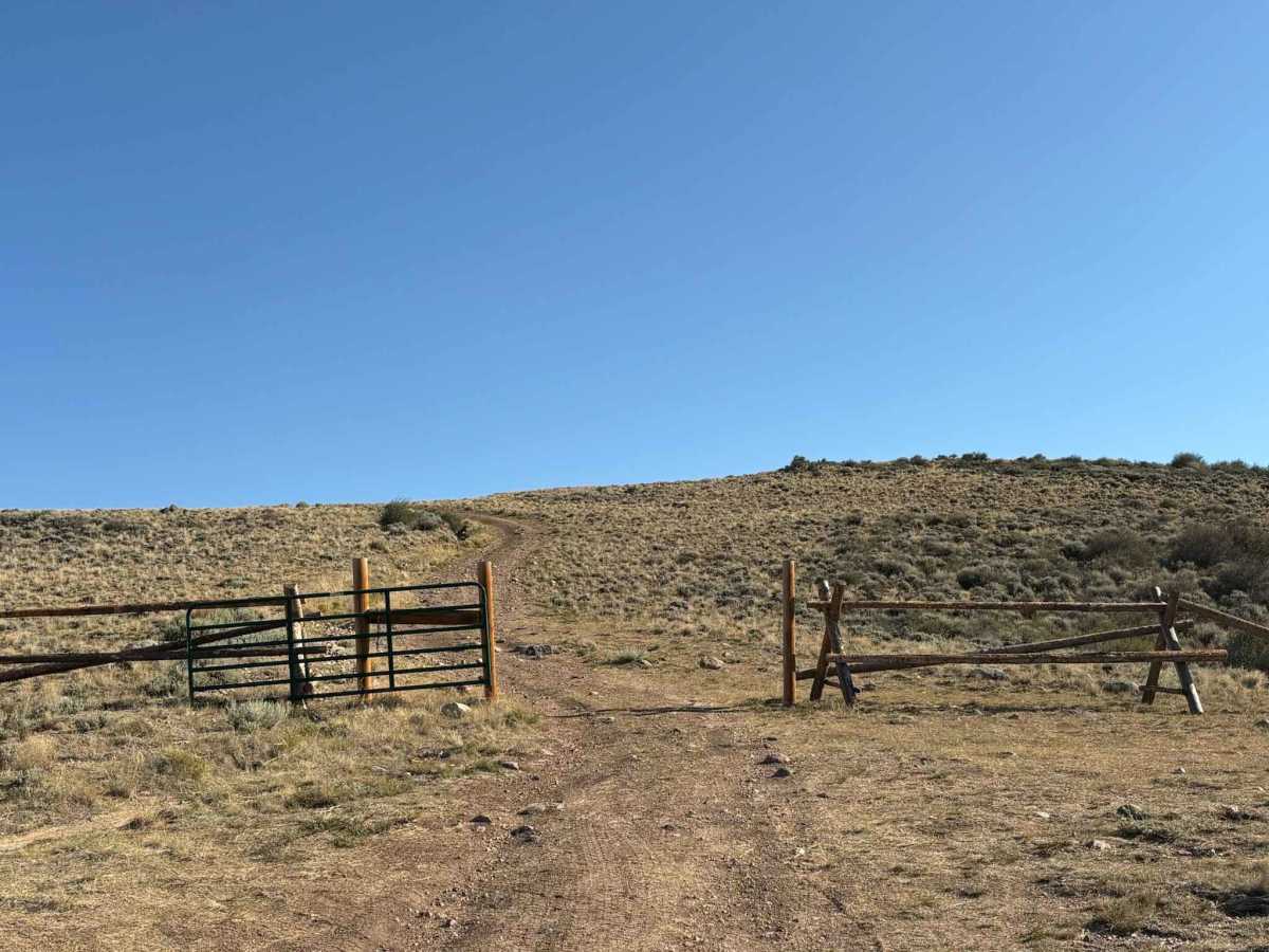
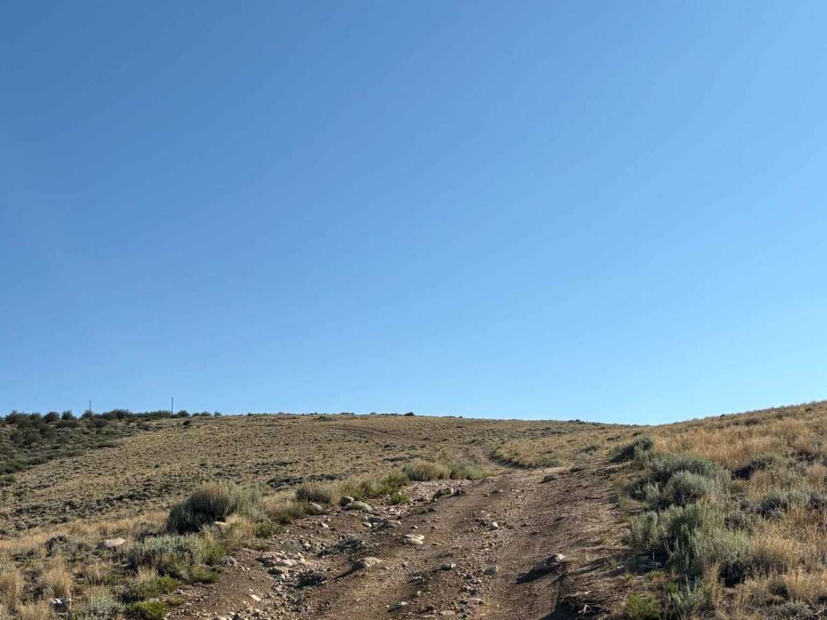
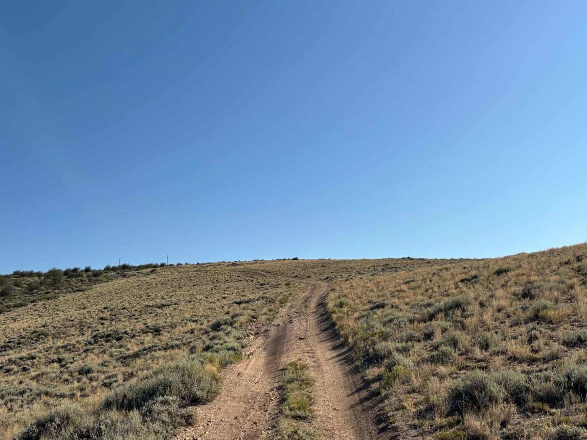
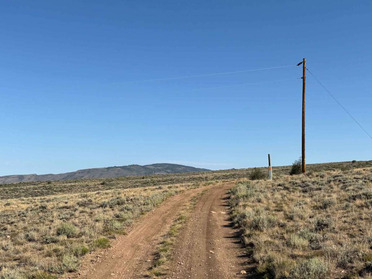
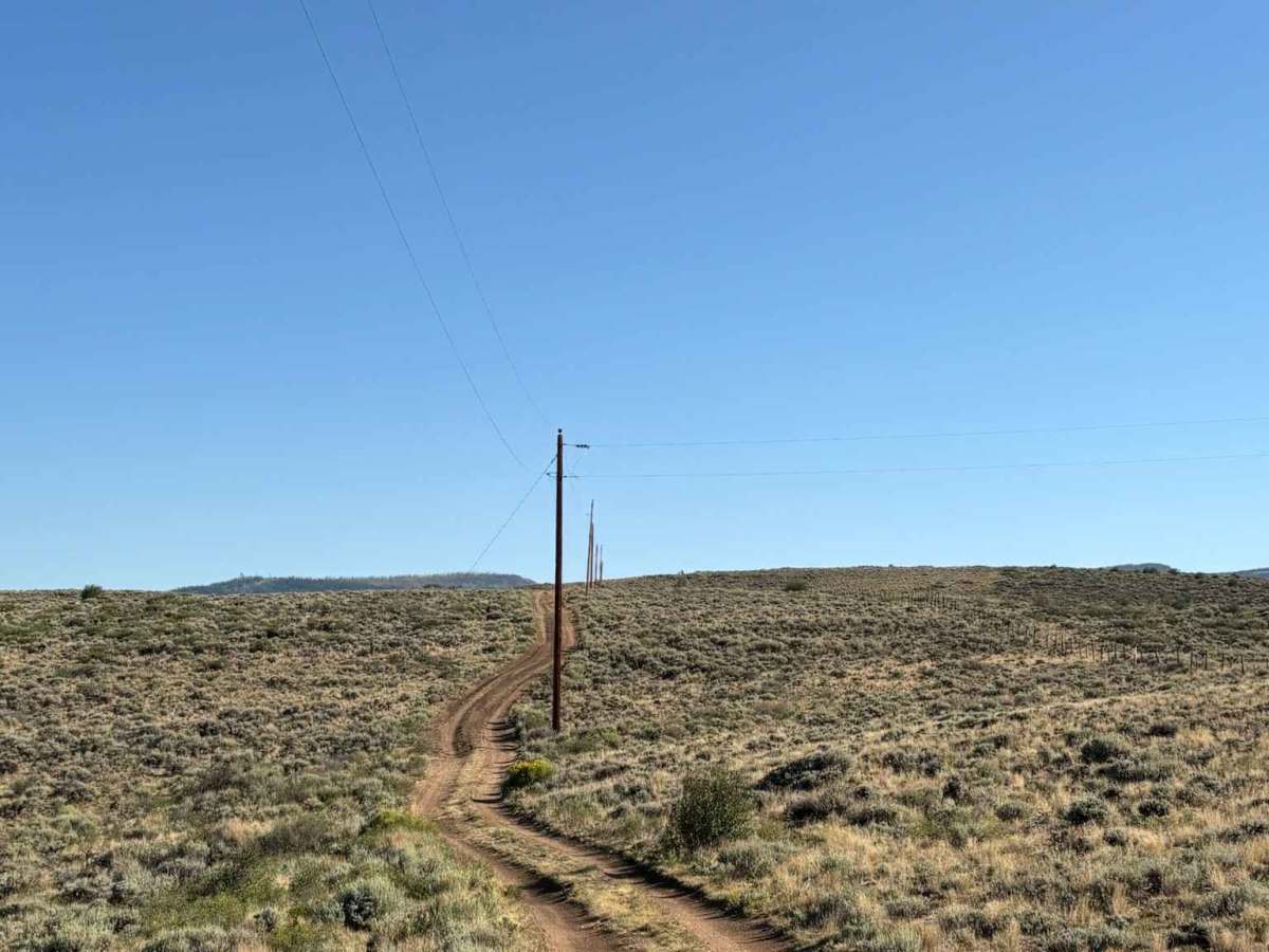
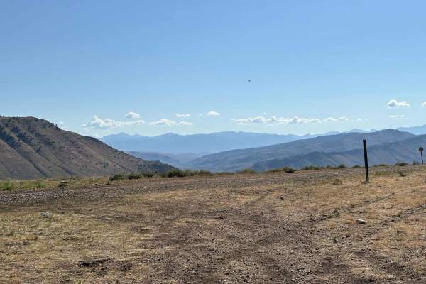
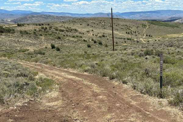
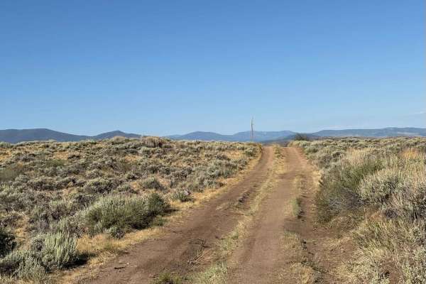
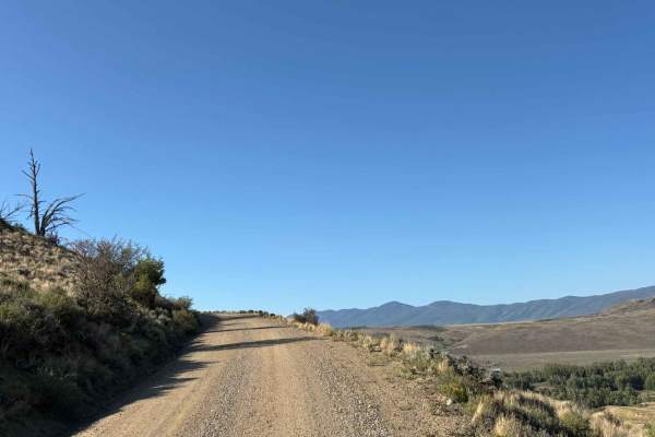
This route leads into some of the more remote sections of the Bureau of Land Management trail system near the town of Parshall, bordering the Hot Sulphur Springs State Wildlife Area. Along the way, it offers expansive views of the rolling plains and distant mountain peaks that define the area. The road can be rocky and moderately rutted in places, but remains a scenic way to access this major trail system.

Photos of Parshall Bureau of Land Management Access

Difficulty

Mildly rocky and rutted

Technical Rating

2

Parshall Bureau of Land Management Access Trail can be accessed by the following ride types:

  • Single Track
  • 50 Inch
  • 60 Inch
  • High Clearance
  • Full Width

Parshall Bureau of Land Management Access Map

The onX Offroad Difference

onX Offroad combines trail photos, descriptions, difficulty ratings, width restrictions, seasonality, and more in a user-friendly interface. Available on all devices, with offline access and full compatibility with CarPlay and Android Auto. Discover what you're missing today!

Open Trail Map