
Dirt Bike Trails
Near Gallina, New Mexico
Explore All Dirt Bike Trails Near Gallina, New Mexico
Dirt Bike Trails Near Gallina, New Mexico
Discover the best dirt bike trails near you. Browse trail maps, check difficulty ratings, and find your next adventure — whether you're looking for a quick ride or an all-day expedition.
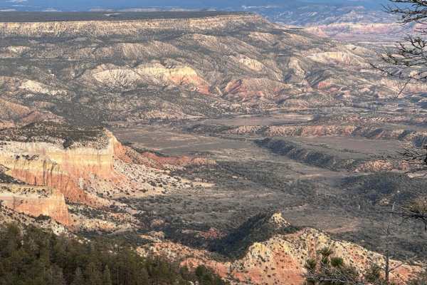
Mesa Los Indios Overlook
This scenic trip begins on Forest Road 8 in the town of Gallina, New Mexico. At the start, the elevation is 7,475 feet, but you will traverse up to the 9,020-foot elevation. The road begins as a maintained dirt road. Halfway through the trip, the road becomes rockier, with multiple snow and ice patc...
Learn more about Mesa Los Indios Overlook
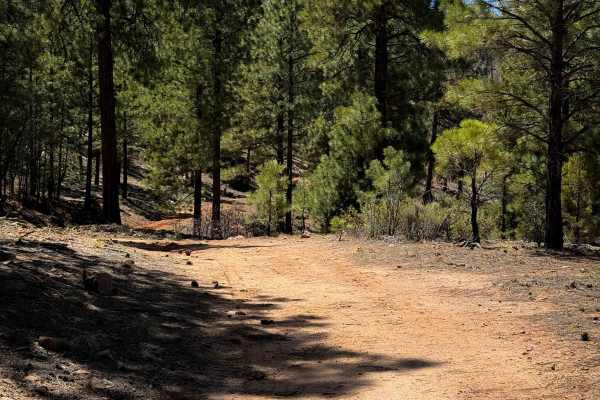
Prior
This is a short and unmarked ATV trail through the Santa Fe National Forest near Gallina Plaza, New Mexico. The 1-mile route is mostly an easy dirt trail with shallow ruts, traversing a hillside on a wide shelf. It’s mostly just dirt, but there are a few minor embedded rock surfaces. The trail rides...
Learn more about Prior
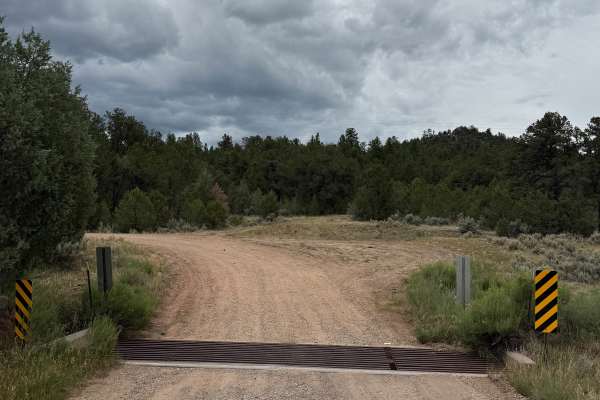
Capulin - FS 76
This route is beautiful, easy and has some of the best off-grid camping sites in the area. The camping sites are spacious and flat. The route is fairly level with soft shoulders and ruts in lower spots due to drainage. The road is wide enough for passing in spots even if you are towing a trailer.
Learn more about Capulin - FS 76
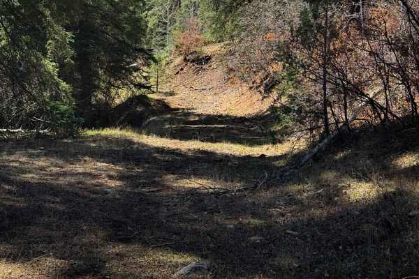
Ojelata
Ojelata is an unmarked and primitive ATV trail that makes a 4.3-mile loop off of Forest Service Road 76. Starting at the northwest entrance and going counterclockwise, it immediately goes through a pinch point in a fence that is only wide enough for 50-inch vehicles. There is a big downfall right aw...
Learn more about Ojelata
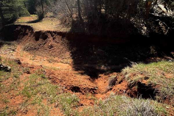
Corral
The north end of the Corral ATV Trail starts at a huge washout that nearly makes the trail impassable for anything other than dirt bikes. It is a massive 8-foot deep gorge in the earth with steep walls that would make it very difficult to cross in an ATV. The trail then follows a forested corridor e...
Learn more about Corral
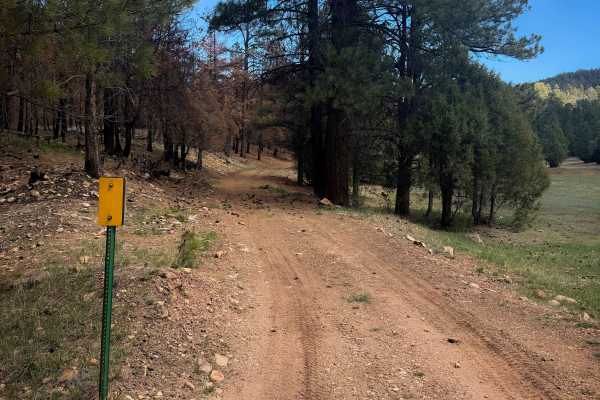
704
This short ATV trail is unmarked at both entrances and is a wide dirt trail through the ponderosa pines and grassy meadows of the Santa Fe National Forest. The west end starts on FS 8. It looks like this trail was a fire break, with one side a burn scar, and the other side unaffected by a past fire....
Learn more about 704
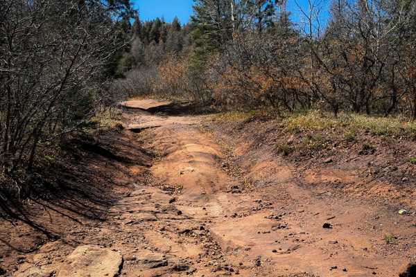
Vegitas
Vegitas is an unmarked ATV trail through the Santa Fe National Forest. The south end starts on Forest Service Road 107, and there is a viewpoint right away just off the trail that riders can walk to view overlooking the mountains. The trail goes past a natural spring and cow trough, and continues th...
Learn more about Vegitas
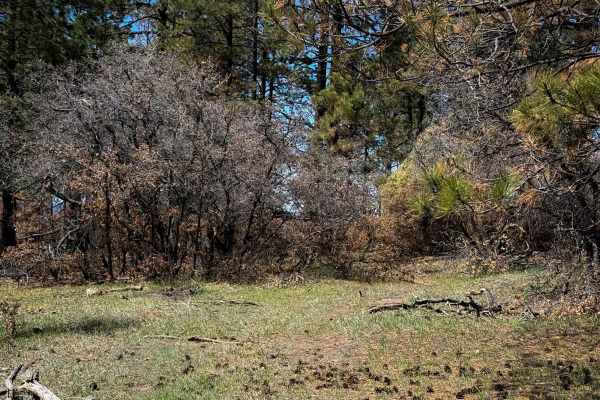
704A
This is a more primitive spur trail off of ATV trail 704 that rides through a burn area for 1 mile. It’s unmarked and slightly overgrown, but it is established enough to follow the trail through until it connects with FS 169D. The trail is a narrow shelf through the pines and burned gambel oak trees...
Learn more about 704A
703
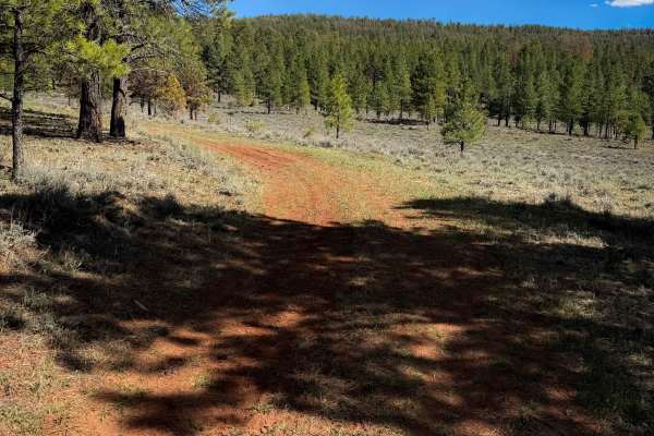
ATV trail 703 is an unmarked and faint trail through the Santa Fe National Forest that goes through grassy meadows and a ponderosa pine forest. The north end starts as a wider route riding just along the tree line, with wide open views and shallow ruts, but mostly just an easy dirt surface. After ab...
Learn more about 703
702
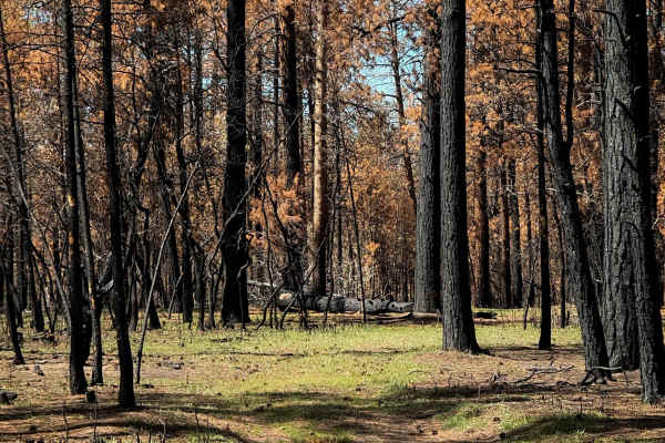
ATV Trail 702 is a very easy, but faint, route through a burn area of ponderosa pines. The trail is mostly flat through wide open glades, over a grassy surface. There are not many tracks to follow, and the trail is obscured by the grass and fallen pine needles. It goes mostly in a straight line, but...
Learn more about 702
705
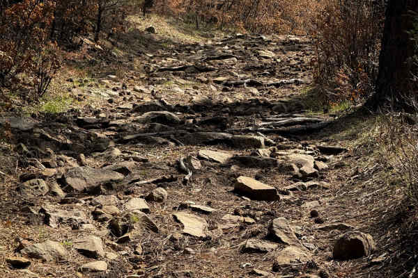
ATV Trail 705 is short and lightly trafficked, riding through a burn area in the Santa Fe National Forest near Gallina Plaza, New Mexico. The route is mostly dirt, covered in a light layer of loose rocks at times, riding between burned pine trees and gambel oak. It’s mostly a semi-steep descent from...
Learn more about 705

Agua Sarca - FR 172
This route is well-maintained and is an easy shortcut to get to FR 103 from Highway 96 and vice versa. There are some dispersed camping spots along the way. There are some private properties, but they are marked and fenced. The road is wide but does have soft shoulders and erosion issues along the e...
Learn more about Agua Sarca - FR 172
706
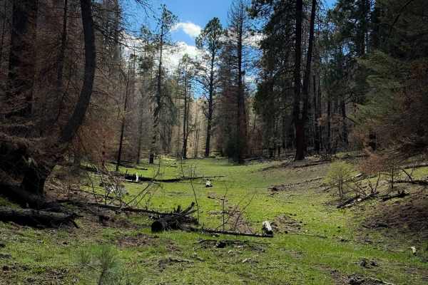
ATV Trail 706 starts on the north end off of FS 169E in a wide grassy corridor at the base of a couple of hills between the pines in a burn area, with lots of log debris. It quickly climbs out of the meadow up a primitive track that would be easy to miss, making a sharp turn east. This initial climb...
Learn more about 706
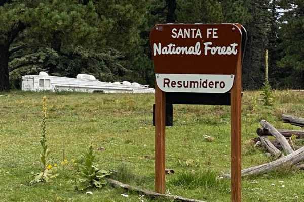
Resumidero Meadow Camping
This short, easy route takes off from Forest Road 103. It leads to gorgeous alpine meadows and dispersed primitive camping at 9,000 feet in elevation. The camp area is a great staging area to explore the northwest side of the Jemez mountains. The San Pedro Peaks Wilderness is accessible for backpack...
Learn more about Resumidero Meadow Camping
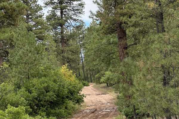
FR 461 Scrub Oak Loop
This rough, narrow, and rocky trail travels through the thick scrub oak along the eastern boundary of the San Pedro Parks Wilderness. If the trail is wet, some places become slick mud. The acorns from the scrub oak and lush grass attract Elk and Bears to this area. There are numerous animal tracks a...
Learn more about FR 461 Scrub Oak Loop
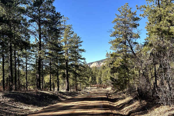
FR103 Run to Rio Puerco
This route begins at the start of FR103 from New Mexico Highway 96. The route is a maintained dirt/gravel road that will take the rider south past the Resumidero Campground route and ending at the Rio Puerco Campground. The area can experience heavy snow drifts and mud when rain/snow moves through t...
Learn more about FR103 Run to Rio Puerco
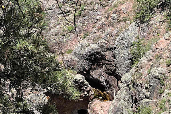
Resumidero Falls
This trail follows FR 93 and connects to FR 93 Resumidero Meadow Camping and either FR 93 Diego Springs or FR 91 San Pedro Mountain Views. It is an easy trail that has a pull-off area for a few vehicles to park and view the spectacular Resumidero Falls. The water has carved a hole directly through t...
Learn more about Resumidero Falls
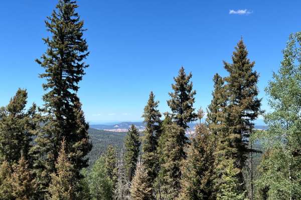
San Pedro Mountain Views - FS 91
This route has steep, challenging, rocky ascents on both ends with the northern end complicated with erosion and mud holes. Gorgeous views of Coyote Canyon can be seen about 2 1/2 miles from the north end of the route on a switchback turn. The middle part of the route is level with open meadows and ...
Learn more about San Pedro Mountain Views - FS 91
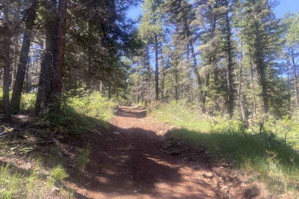
Canada Ojitos
This is an awesome trail that can be driven in both directions, with offshoots to other trails. The trail is single-vehicle width with only a few places to pass. It features numerous washes, mud holes when wet, and small to medium rocks. The trail can get off-camber at times and becomes steep in eit...
Learn more about Canada Ojitos
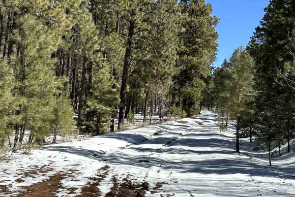
Pinabetosa Water Break
At the end of the trail, there are beautiful views of the surrounding red mesas and mountaintops. The route is an unmaintained dirt road that breaks off from FR316. During rain/snow conditions, the route is very slick with ruts throughout the canyon portion of the trail. During snowy conditions, the...
Learn more about Pinabetosa Water Break
ATV trails near Gallina, New Mexico
Explore ATV-friendly trails near you. These trails are accessible for vehicles up to 50 inches wide, perfect for ATVs and smaller off-road machines.
Mesa Los Indios Overlook
This scenic trip begins on Forest Road 8 in the town of Gallina, New Mexico. At the start, the elevation is 7,475 feet, but you will traverse up to the 9,020-foot elevation. The road begins as a maintained dirt road. Halfway through the trip, the road becomes rockier, with multiple snow and ice patc...
Learn more about Mesa Los Indios Overlook
Prior
This is a short and unmarked ATV trail through the Santa Fe National Forest near Gallina Plaza, New Mexico. The 1-mile route is mostly an easy dirt trail with shallow ruts, traversing a hillside on a wide shelf. It’s mostly just dirt, but there are a few minor embedded rock surfaces. The trail rides...
Learn more about Prior
Capulin - FS 76
This route is beautiful, easy and has some of the best off-grid camping sites in the area. The camping sites are spacious and flat. The route is fairly level with soft shoulders and ruts in lower spots due to drainage. The road is wide enough for passing in spots even if you are towing a trailer.
Learn more about Capulin - FS 76
Ojelata
Ojelata is an unmarked and primitive ATV trail that makes a 4.3-mile loop off of Forest Service Road 76. Starting at the northwest entrance and going counterclockwise, it immediately goes through a pinch point in a fence that is only wide enough for 50-inch vehicles. There is a big downfall right aw...
Learn more about Ojelata
UTV/side-by-side trails near Gallina, New Mexico
Find UTV and side-by-side trails near you. These trails accommodate vehicles up to 60 inches wide, ideal for UTVs, side-by-sides, and wider off-road rigs.
Mesa Los Indios Overlook
This scenic trip begins on Forest Road 8 in the town of Gallina, New Mexico. At the start, the elevation is 7,475 feet, but you will traverse up to the 9,020-foot elevation. The road begins as a maintained dirt road. Halfway through the trip, the road becomes rockier, with multiple snow and ice patc...
Learn more about Mesa Los Indios Overlook
Capulin - FS 76
This route is beautiful, easy and has some of the best off-grid camping sites in the area. The camping sites are spacious and flat. The route is fairly level with soft shoulders and ruts in lower spots due to drainage. The road is wide enough for passing in spots even if you are towing a trailer.
Learn more about Capulin - FS 76
Agua Sarca - FR 172
This route is well-maintained and is an easy shortcut to get to FR 103 from Highway 96 and vice versa. There are some dispersed camping spots along the way. There are some private properties, but they are marked and fenced. The road is wide but does have soft shoulders and erosion issues along the e...
Learn more about Agua Sarca - FR 172
Resumidero Meadow Camping
This short, easy route takes off from Forest Road 103. It leads to gorgeous alpine meadows and dispersed primitive camping at 9,000 feet in elevation. The camp area is a great staging area to explore the northwest side of the Jemez mountains. The San Pedro Peaks Wilderness is accessible for backpack...
Learn more about Resumidero Meadow Camping
The onX Offroad Difference
onX Offroad combines trail photos, descriptions, difficulty ratings, width restrictions, seasonality, and more in a user-friendly interface. Available on all devices, with offline access and full compatibility with CarPlay and Android Auto. Discover what you're missing today!
Open Trail Map