Trail Overview
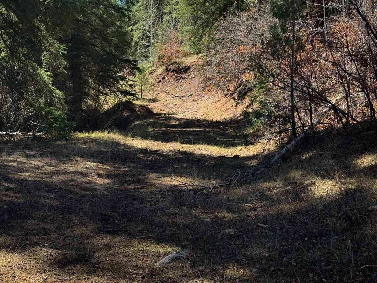
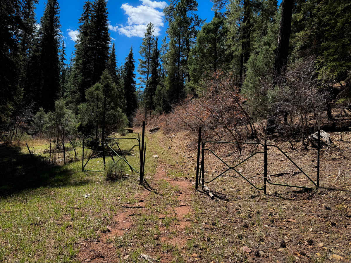
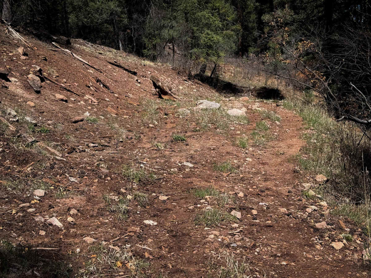
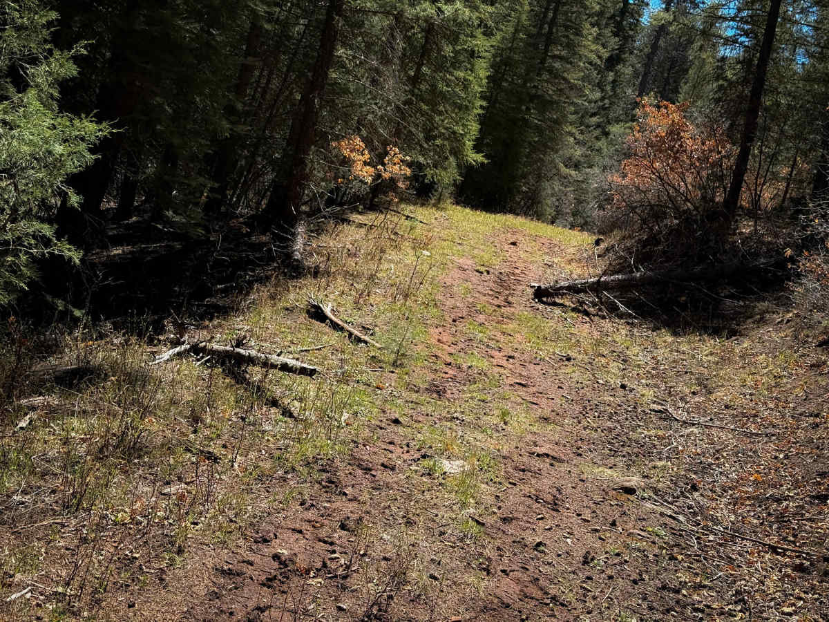
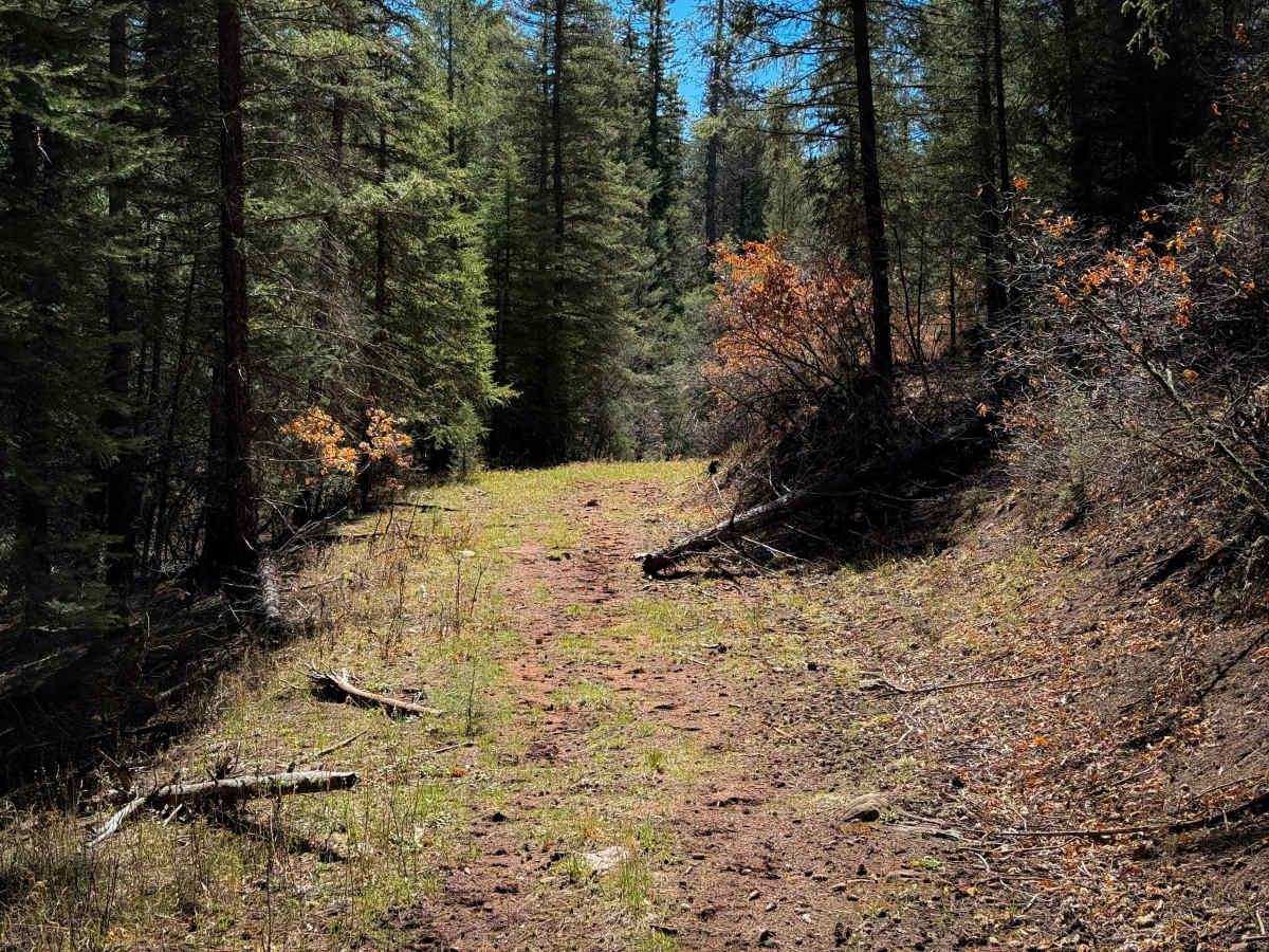
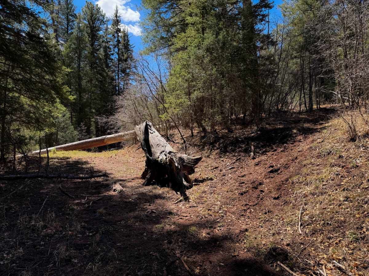
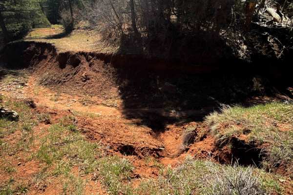
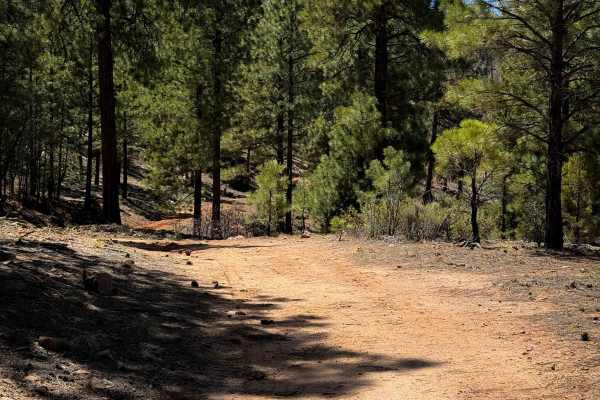
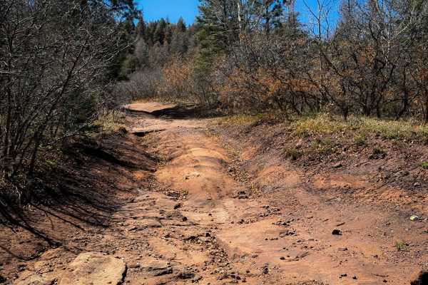
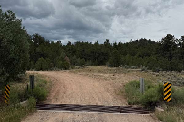
Ojelata is an unmarked and primitive ATV trail that makes a 4.3-mile loop off of Forest Service Road 76. Starting at the northwest entrance and going counterclockwise, it immediately goes through a pinch point in a fence that is only wide enough for 50-inch vehicles. There is a big downfall right away in a wide meadow, and then it goes along a forested shelf corridor paralleling a ravine, where you’ll find more deadfall that would be tricky to navigate in an ATV unless it gets cut. This trail does not look very trafficked, and it’s unlikely that the many logs will get cleared. The shelf corridor narrows up at times through tighter tree sections, and at times it is difficult to follow the route when it becomes overgrown, making unmarked turns to navigate the hillsides, which makes an offline map essential out here. After about 1.5 miles, there is a reroute, where the trail stays to the left on a low route, continuing on a narrow shelf above the ravine with some loose rocks and more downed trees. There is a deep V-bottom ravine crossing that will be more technical for ATVs as well. The eastern half of the loop becomes extremely faint, weaving through trees and across grassy meadows without much of a track to follow. After about 3 miles, it’s very overgrown and difficult to find the route at times, and then it becomes rutted and full of more downfall. Eventually, it becomes more beat in again and finally pops out on FS Road 76. It’s overall an adventure that is probably only suited to dirt bikes looking for a navigational and log-hopping challenge.
Difficulty
This trail is intermediate due to many downed logs and difficult route finding. If it were ever cleared of logs, then the trail would be easier, with only a few ruts and a couple of deep ravine crossings. The trail is not very rocky and is mostly gradual, following a shelf trail through the forest. However, the many logs make it impassable to most average riders.