Trail Overview
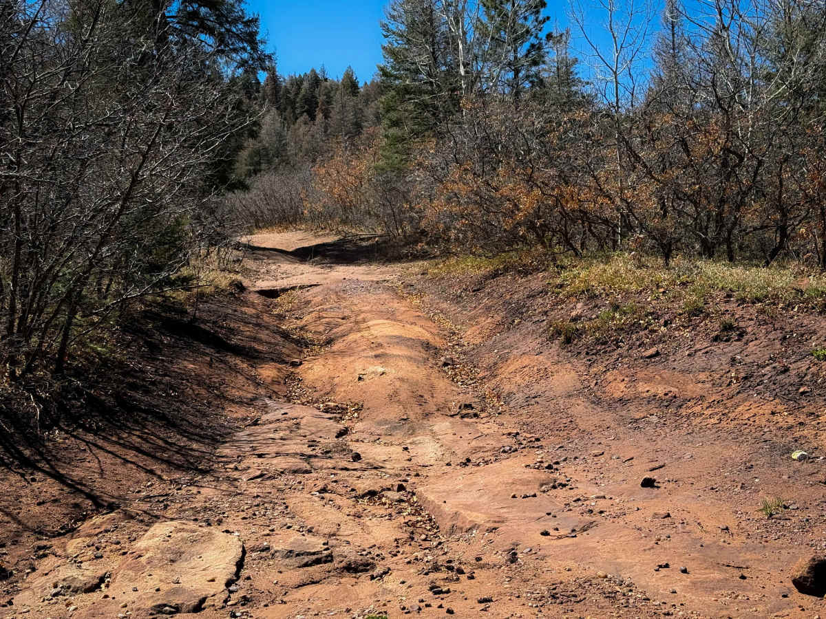
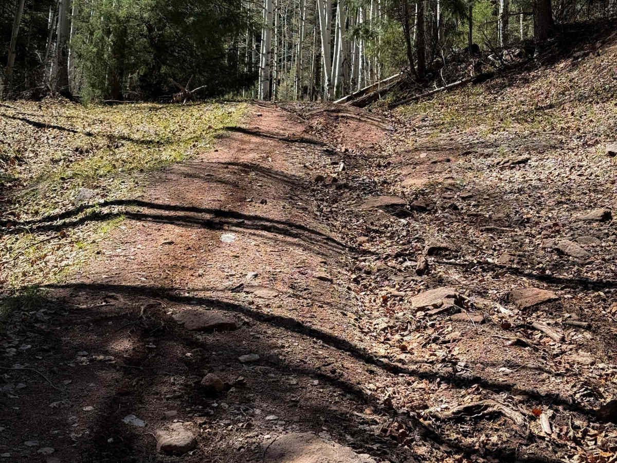
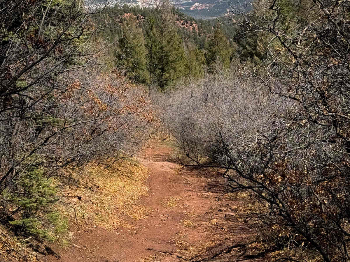
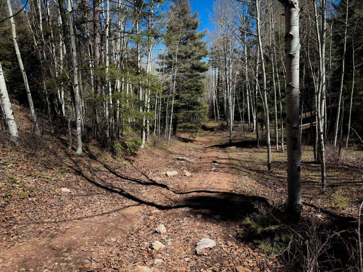
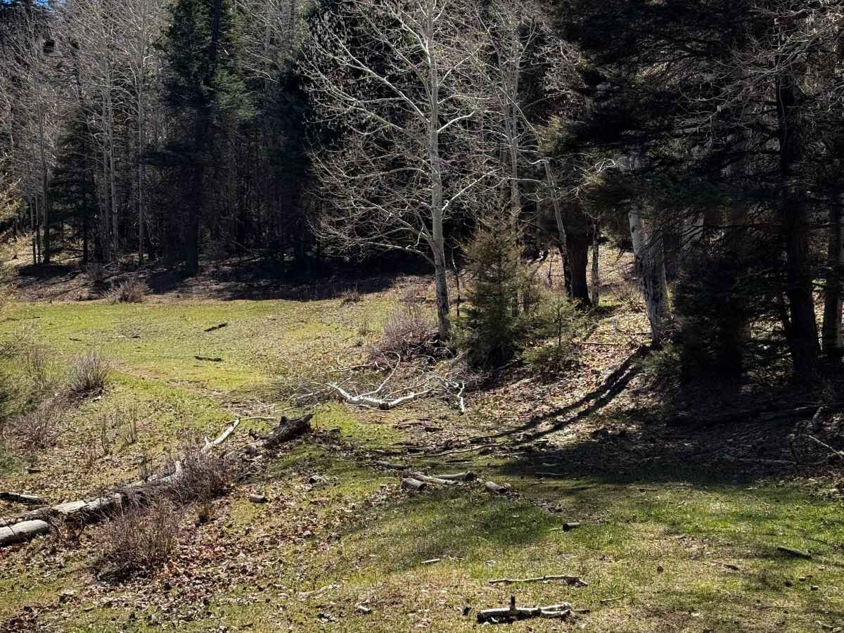
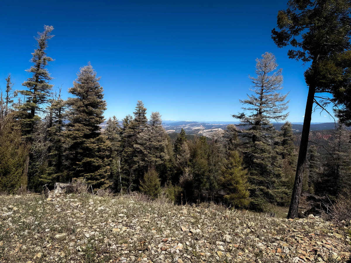
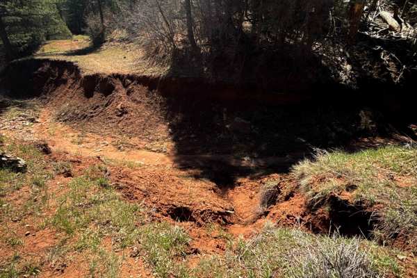
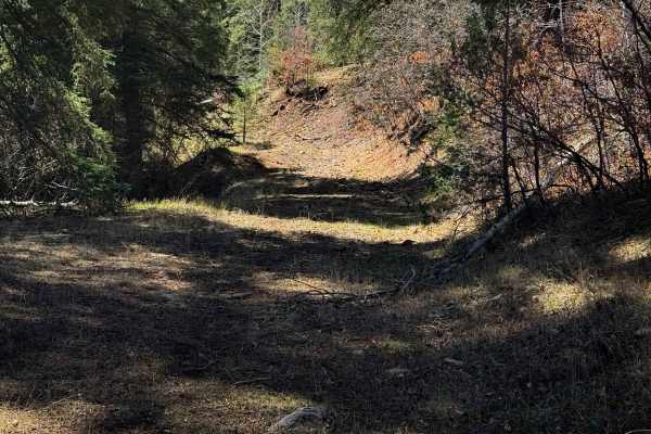
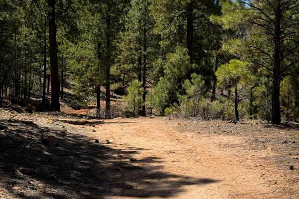
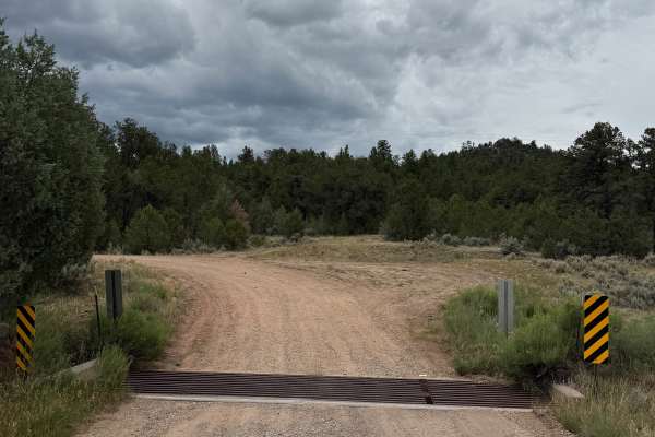
Vegitas is an unmarked ATV trail through the Santa Fe National Forest. The south end starts on Forest Service Road 107, and there is a viewpoint right away just off the trail that riders can walk to view overlooking the mountains. The trail goes past a natural spring and cow trough, and continues through the forest on an easy two-track that has a bit of embedded and loose rock. The trail is faint and overgrown with grass at times, and makes a few unmarked turns that make an offline map essential for continuing the route. It does a couple big hairpin turns, has a few shallow ruts, and steeper spots, but mostly remains easy. There are a couple embedded rock faces closer to the north end that make very small drop offs/ledges, but they are easily approachable. The north end looks more trafficked and wider as it approaches Forest Service Road 110.
Difficulty
This is, overall, an easier ATV route as it is mostly wide and smooth dirt, with a few minor rockier sections. It doesn’t have as much downfall as the Corral trail, but there’s always potential for more log hazards in this type of forested terrain. It has a few steep spots, but is overall ideal for less experienced riders.