Trail Overview
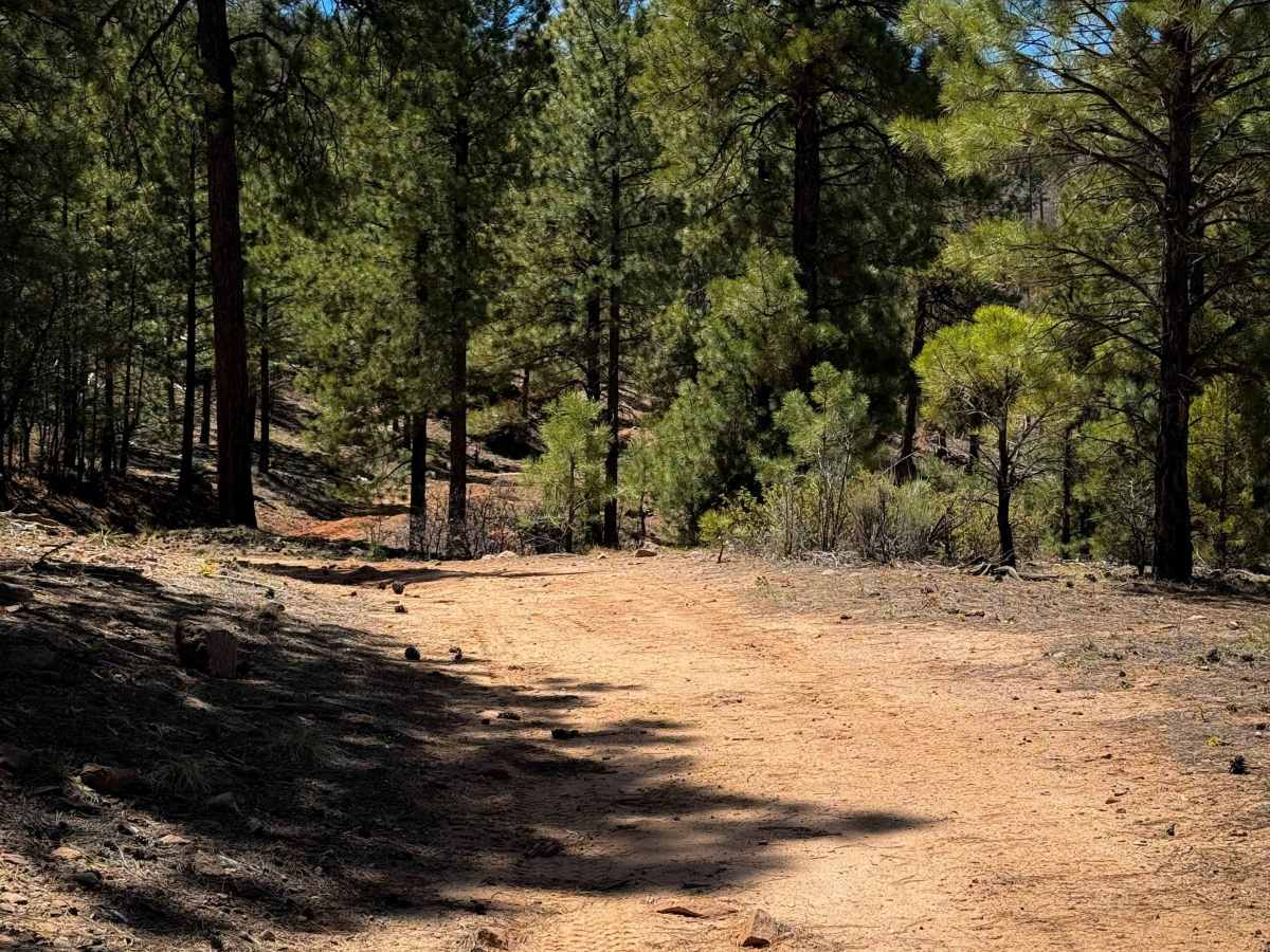
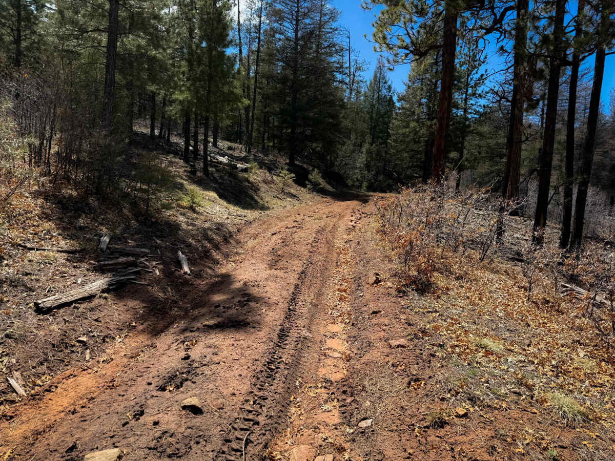
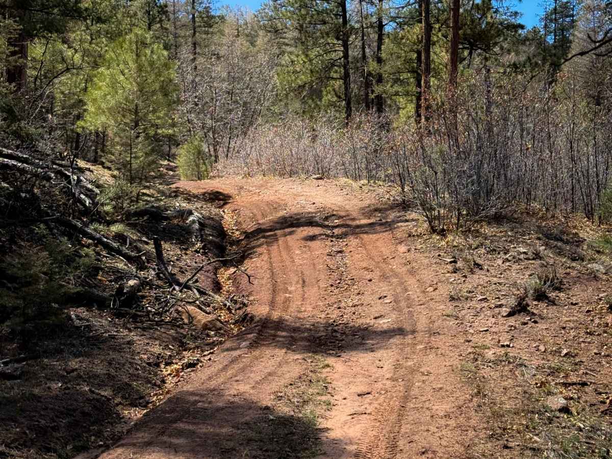
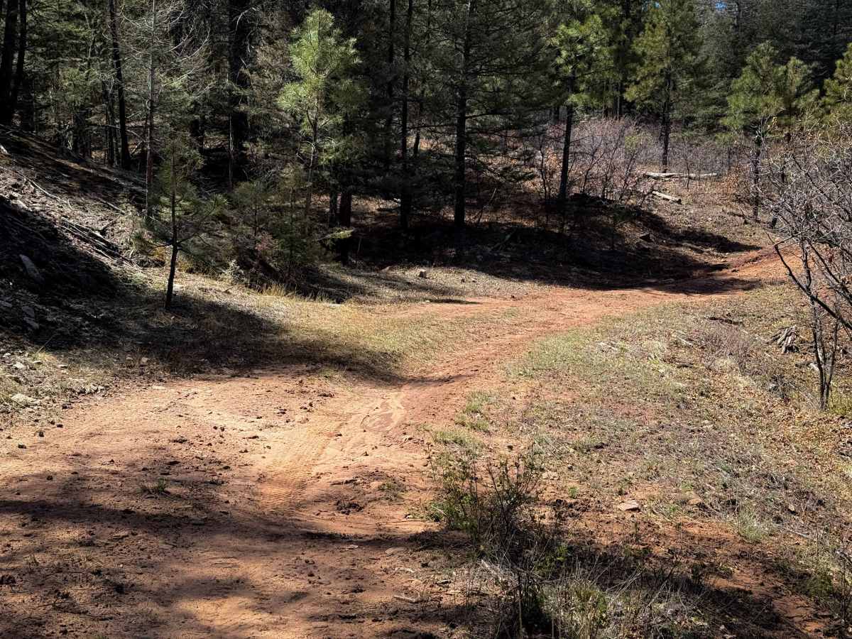
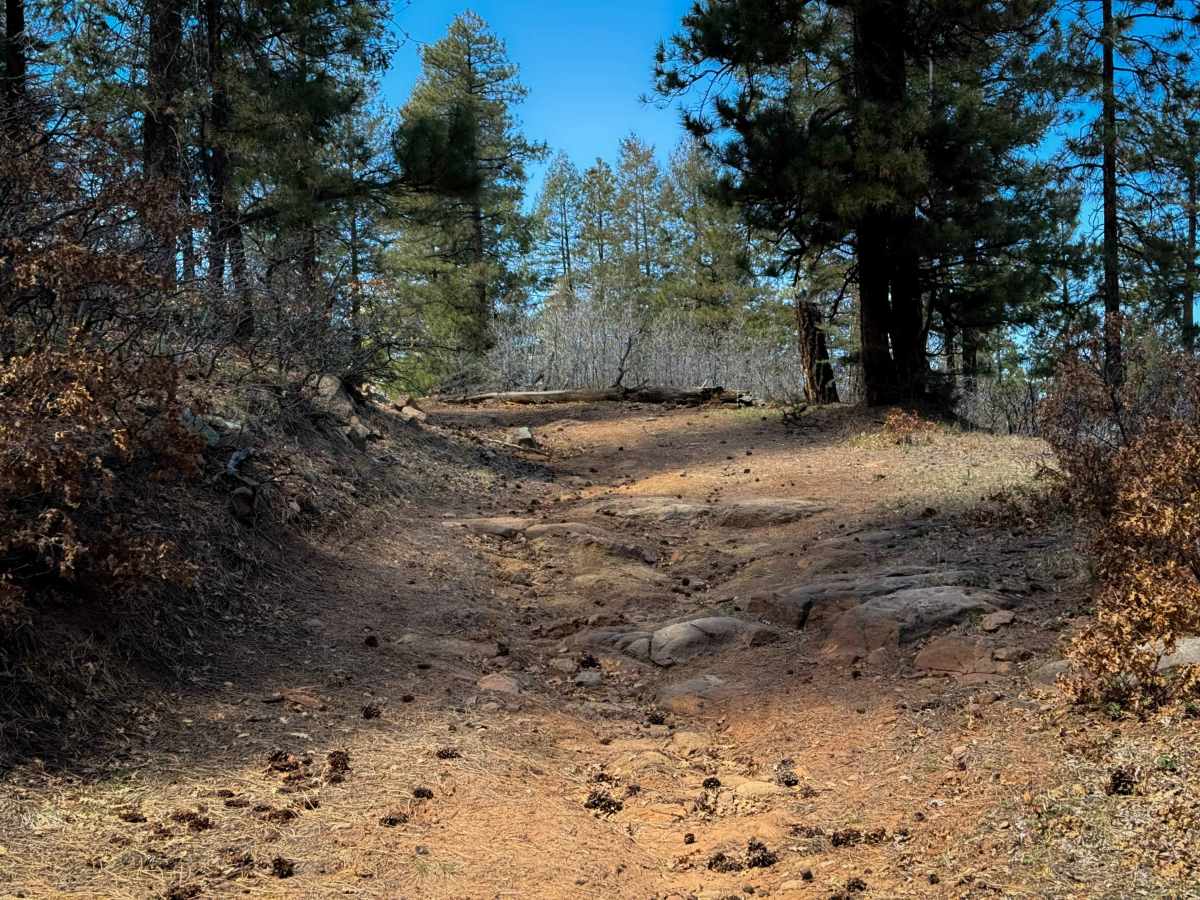
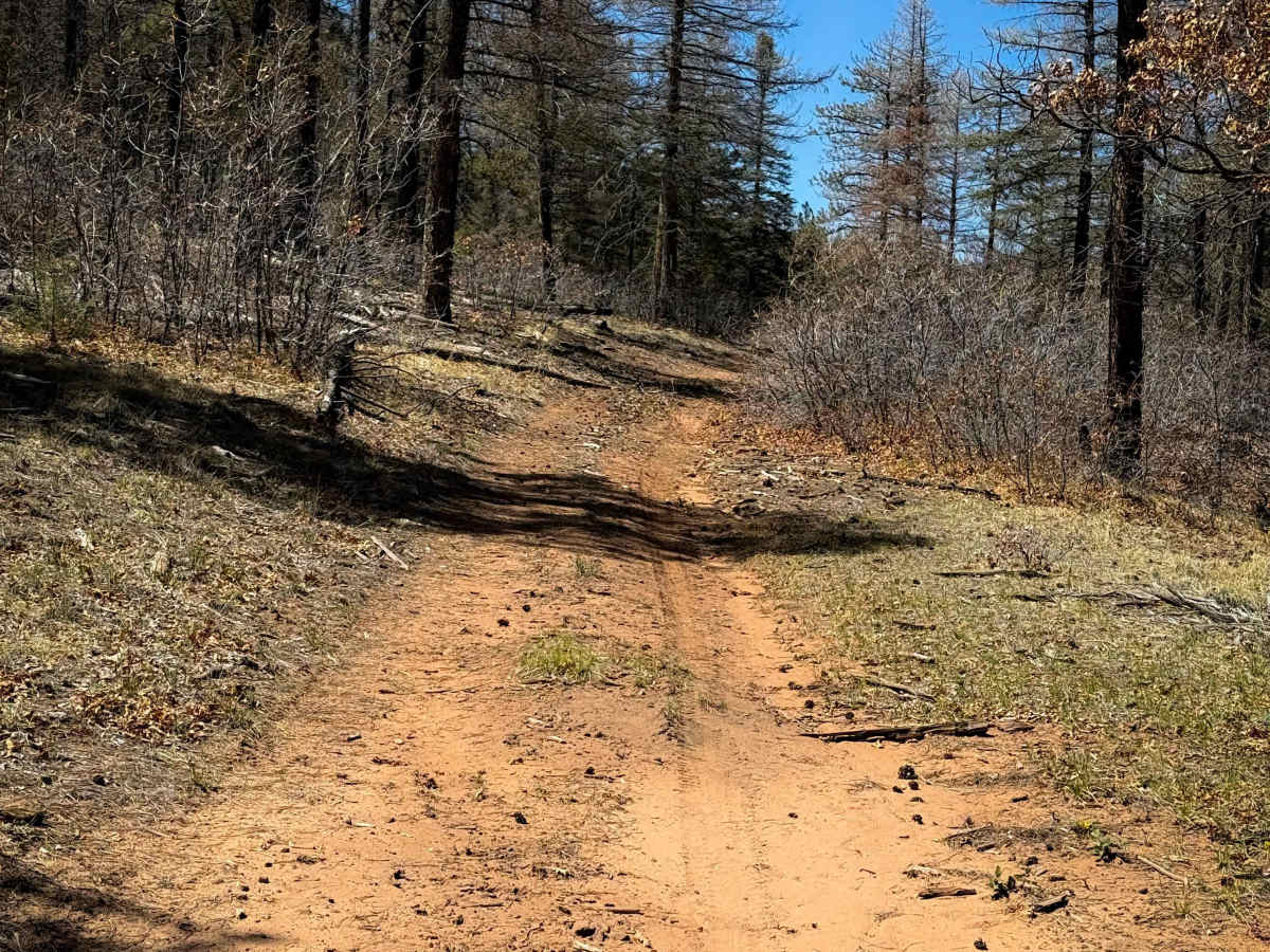
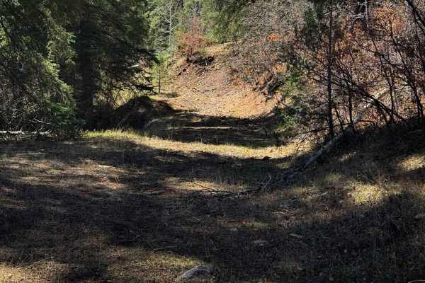
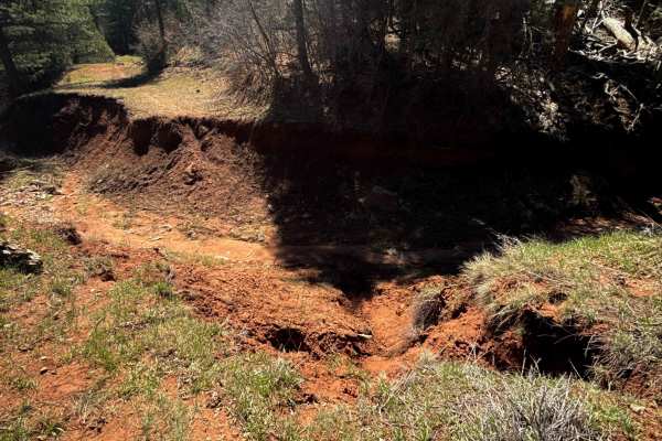
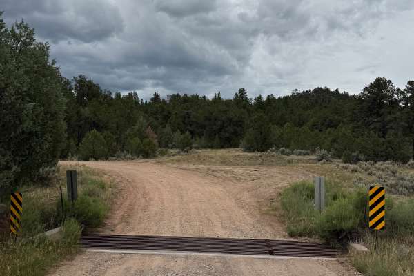
This is a short and unmarked ATV trail through the Santa Fe National Forest near Gallina Plaza, New Mexico. The 1-mile route is mostly an easy dirt trail with shallow ruts, traversing a hillside on a wide shelf. It’s mostly just dirt, but there are a few minor embedded rock surfaces. The trail rides past ponderosa pines with good visibility through the trees. It has a couple of steeper ravine crossings and a few small logs down, with potential for more log hazards because this looks very lightly trafficked, and new downfalls will likely not get cut very quickly. The trail is more established and easy to follow for the first 0.9 miles (starting on the east end), and then becomes more primitive and faint, making a sharp north turn to connect to FS Road 71E. It does not look like there is any existing trail that continues west, as the map shows. It will be easier to ride the trail east to west, as the west end is more confusing.
Difficulty
Other than a bit of required route finding, this trail is easy, as it doesn’t have any major rock obstacles and is essentially free of rocks. It only has a couple of deeper ravine crossings and a few small logs down. The trail gets steeper on the west end as well.

 Offroad