
Dirt Bike Trails
Near Gallatin Gateway, Montana
Explore All Dirt Bike Trails Near Gallatin Gateway, Montana
Dirt Bike Trails Near Gallatin Gateway, Montana
Discover the best dirt bike trails near you. Browse trail maps, check difficulty ratings, and find your next adventure — whether you're looking for a quick ride or an all-day expedition.
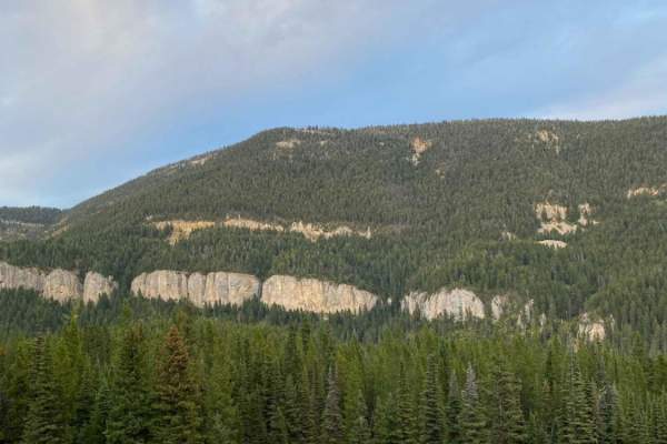
Little Bear Road Offshoot
Essentially a rough gravel road, this is a curvy and pot-hole-filled mountain road that forks off of Wilson Creek Divide Road. You'll likely want to air down your tires so as to not rattle your bones or bolt-ons off, this is one bumpy and unmaintained road. There aren't any real obstacles, the main ...
Learn more about Little Bear Road Offshoot
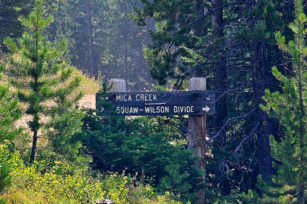
Squaw-Wilson Divide
Squaw-Wilson Creek Divide Road is a Level 1–2 trail with a rough mix of dirt and rock. The road is very bumpy, so airing down is recommended. Despite the rough surface, it is in surprisingly good condition, possibly due to limited use. Most of the route is narrow single track with very few pullouts ...
Learn more about Squaw-Wilson Divide
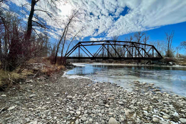
Axtell Anceney Road
This point-to-point dirt and gravel two-lane road connects Highway 191 south of Four Corners to Norris Road west of Four Corners, offering a scenic alternative to the main highway. Portions of the road are unmaintained, and following recent snowmelt or rain, the surface can become very muddy and rut...
Learn more about Axtell Anceney Road
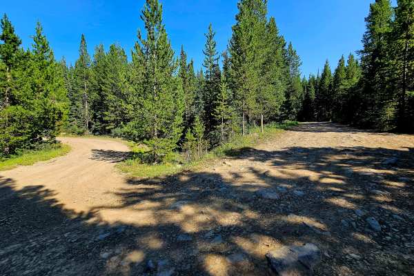
Big Bear Lake Road
Big Bear Lake Road is rated Level 2–3 to the lake and Level 3–4 beyond the lake to the peak. The road is consistently rocky, so airing down is highly recommended. High clearance is strongly recommended past the lake, where the route becomes rougher and slower with a few climbing obstacles. The road ...
Learn more about Big Bear Lake Road
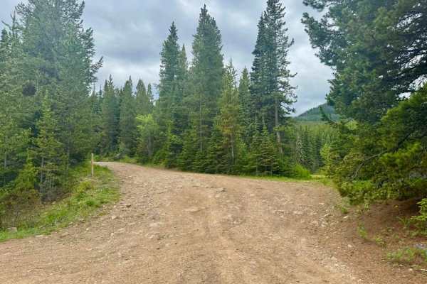
Big Bear Lake Road Spur
Big Bear Lake Road is located in the Gallatin Mountains, with the closest large city being Bozeman, Montana, which is roughly 8 and a half miles from the highway turnoff. The trail itself is around 1.5 miles. This spur area beyond the lake is not used nearly as much and has trees and brush growing ...
Learn more about Big Bear Lake Road Spur
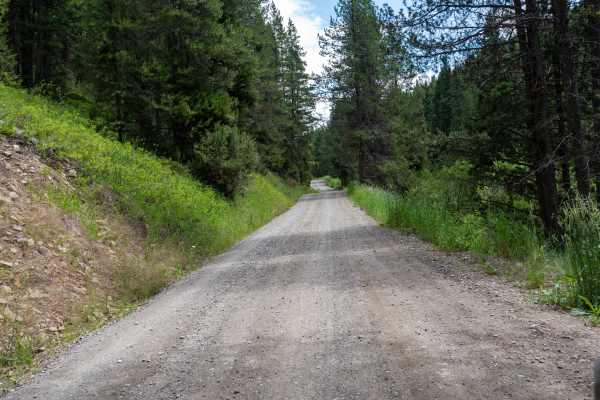
Moser Jumpoff Road
Moser Jumpoff Road is an easy Level 1 route with scattered potholes and excellent valley views. The final mile narrows to single track with tight overgrowth and little to no room to turn around. Larger vehicles should use caution before entering the last section, as it will cause paint pin stripes.
Learn more about Moser Jumpoff Road
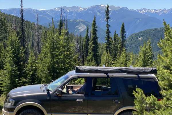
Wilson Creek Divide Road
Wilson Creek Divide Road offers an approachable yet incredibly scenic mountain drive for four-wheel-drive vehicles, SxSs, and high-clearance adventure seekers looking to transition from the Gallatin Valley into the rugged Gallatin National Forest. Spanning approximately 28 miles and reaching a maxim...
Learn more about Wilson Creek Divide Road
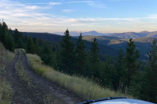
Langohr Offshoot
A rough, but maintained forest service trail off of the main Langohr Road in Hyalite Canyon. There are various dispersed camping spots off of this trail, as well as several beautiful viewpoints to see the Canyon and the Canyon Road from. Keep in mind the rules (posted earlier in the Canyon) about di...
Learn more about Langohr Offshoot
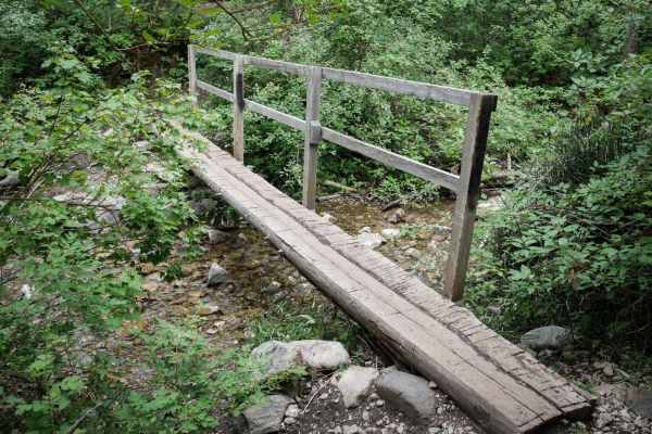
Middle Cottonwood
The Middle Cottonwood Single Track starts on the west end at a small dirt parking lot on a well-maintained wide dirt path. There are many hikers on this trail, so please respect other users. It goes over a narrow wooden bridge and continues on an easy trail with some embedded rocks but mostly smooth...
Learn more about Middle Cottonwood
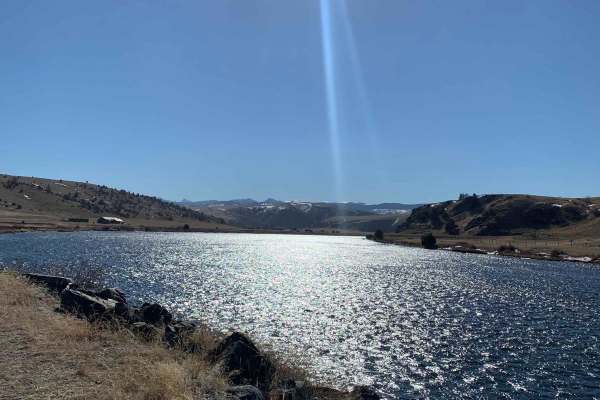
Buffalo Jump - Black Fords Fish Access
This is an easy trail with plenty of incredible scenery. Consisting of mostly dirt and gravel, the trail is typically maintained fairly well year-round. Depending on the time of year, you can expect to see bison roaming, a phenomenal view of the Madison River, and beautiful buttes and mountains. Alo...
Learn more about Buffalo Jump - Black Fords Fish Access
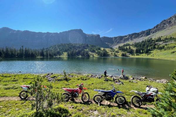
Heather & Emerald Scramble
Starting from the East Fork Hyalite trailhead, you will be winding and zipping through the trees headed south until you reach Emerald lake, followed by Heather Lake. Emerald is about 5 miles, with Heather being about 1 more mile. This trail has some difficulty however followed by beautiful views of ...
Learn more about Heather & Emerald Scramble
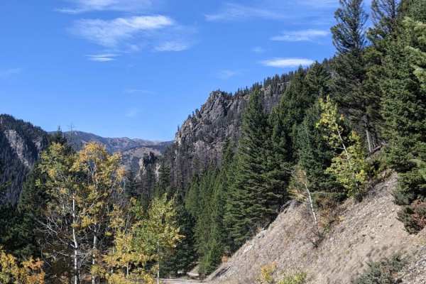
Moose Creek to Portal Creek Rd
Heading south on 191, take a left onto Moose Creek Road; this trail starts off fairly gentle with plenty of camping areas to make basecamp. Beautiful aspens, golden late September, line the first stretch of this ride. There are a couple of intersections, so make sure to follow along on your device. ...
Learn more about Moose Creek to Portal Creek Rd
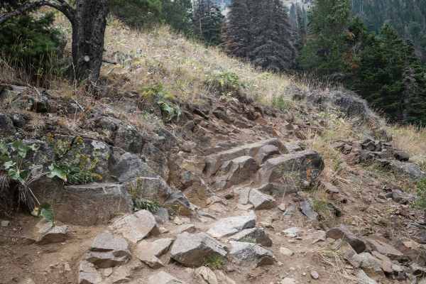
Bridger Mountains
Bridger Mountain is 2.4 miles of single track with significant exposure and technical switchbacks, making it a challenging trail. The south end starts at the end of the Middle Cottonwood trail on an easy and flowy path with a few roots and rocks. Watch out for lots of hikers on this section of trail...
Learn more about Bridger Mountains
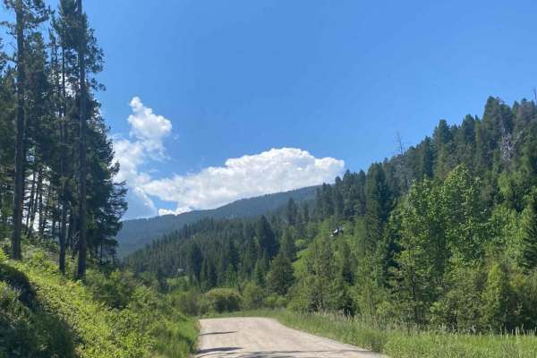
Goose Creek Trailhead
This route is a standard gravel road that is similar to many roads that take you to remote trailheads in Montana and across the mountain west. There are plenty of potholes and washboard sections of the road, but assuming it's the right time of year, this route presents no real difficult parts or tec...
Learn more about Goose Creek Trailhead
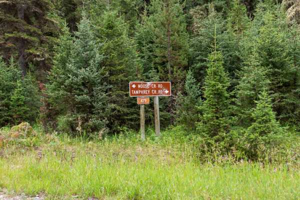
Moose Creek Road - FS 479
Moose Creek is an easy road, great for a day drive. The road is generally in good condition and suitable for stock SUVs and trucks. Two areas show minor washout, but the route remains straightforward. Large mud pits may develop after rain or during wet seasons and can become the main obstacles. Be p...
Learn more about Moose Creek Road - FS 479
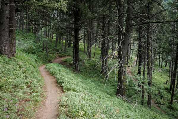
Truman Gulch
Truman Gulch is an easy spur trail off of the Bridger Foothills trail that descends 1,400 feet down to the Truman Gulch Trailhead. It looks like there has been a lot of trail maintenance on this to clear it of rocks, bench out any ruts, and make it overall very smooth and flowy, as it is also a popu...
Learn more about Truman Gulch
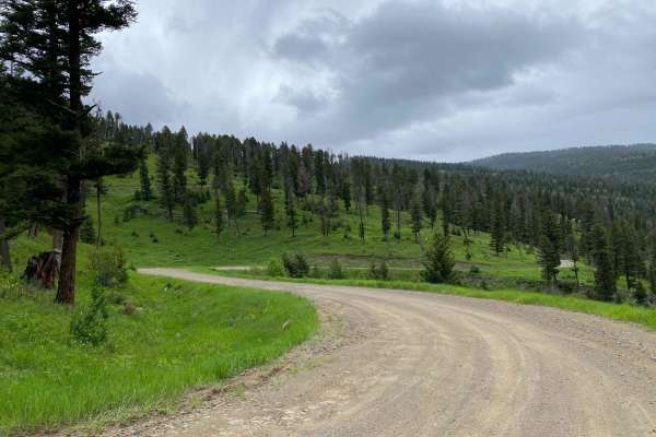
Start of Olsen Creek
The start of Olsen Creek Road is your basic gravel road, with somewhat deep potholes and parts of it washed out. There are no real obstacles or technical portions. There are tight switchbacks, so be mindful of oncoming traffic as well as the steep shoulders. There are privately owned parcels the rou...
Learn more about Start of Olsen Creek
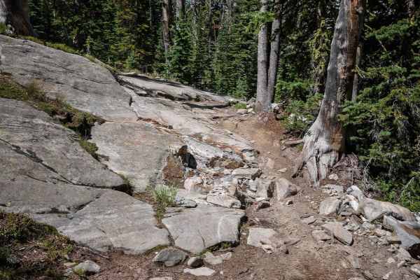
Hidden Lakes ATV #179
The Hidden Lakes ATV trail starts at the Hidden Lakes Trailhead, which is accessed through Portal Creek Road and Hidden Lakes Road. The first 1.5 miles up to the intersection with the Hidden Lakes Divide single track is relatively easy. It's a wide dirt two-track between a forest of pine trees, with...
Learn more about Hidden Lakes ATV #179
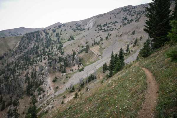
Bridger Ridge
Bridger Ridge is a top-tier single track in Montana's Bridger Mountain Range. It's full of incredible views and technical challenges and is mostly an epic skinny trail atop a ridge line around 8,000 feet elevation. It starts at the top of Ross Pass at the intersection with Upper Brackett Creek. It's...
Learn more about Bridger Ridge
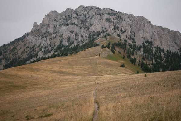
Bridger Foothills
Bridger Foothills is a long singletrack through the Gallatin National Forest, almost 7 miles long of challenging rocks, epic views, and technical switchbacks. The south end is more like a continuation of the Bridger Mountain trail. From the south, it starts on a narrow shelfy trail mid-way up the mo...
Learn more about Bridger Foothills
ATV trails near Gallatin Gateway, Montana
Explore ATV-friendly trails near you. These trails are accessible for vehicles up to 50 inches wide, perfect for ATVs and smaller off-road machines.
Little Bear Road Offshoot
Essentially a rough gravel road, this is a curvy and pot-hole-filled mountain road that forks off of Wilson Creek Divide Road. You'll likely want to air down your tires so as to not rattle your bones or bolt-ons off, this is one bumpy and unmaintained road. There aren't any real obstacles, the main ...
Learn more about Little Bear Road Offshoot
Squaw-Wilson Divide
Squaw-Wilson Creek Divide Road is a Level 1–2 trail with a rough mix of dirt and rock. The road is very bumpy, so airing down is recommended. Despite the rough surface, it is in surprisingly good condition, possibly due to limited use. Most of the route is narrow single track with very few pullouts ...
Learn more about Squaw-Wilson Divide
Axtell Anceney Road
This point-to-point dirt and gravel two-lane road connects Highway 191 south of Four Corners to Norris Road west of Four Corners, offering a scenic alternative to the main highway. Portions of the road are unmaintained, and following recent snowmelt or rain, the surface can become very muddy and rut...
Learn more about Axtell Anceney Road
Big Bear Lake Road
Big Bear Lake Road is rated Level 2–3 to the lake and Level 3–4 beyond the lake to the peak. The road is consistently rocky, so airing down is highly recommended. High clearance is strongly recommended past the lake, where the route becomes rougher and slower with a few climbing obstacles. The road ...
Learn more about Big Bear Lake Road
UTV/side-by-side trails near Gallatin Gateway, Montana
Find UTV and side-by-side trails near you. These trails accommodate vehicles up to 60 inches wide, ideal for UTVs, side-by-sides, and wider off-road rigs.
Little Bear Road Offshoot
Essentially a rough gravel road, this is a curvy and pot-hole-filled mountain road that forks off of Wilson Creek Divide Road. You'll likely want to air down your tires so as to not rattle your bones or bolt-ons off, this is one bumpy and unmaintained road. There aren't any real obstacles, the main ...
Learn more about Little Bear Road Offshoot
Squaw-Wilson Divide
Squaw-Wilson Creek Divide Road is a Level 1–2 trail with a rough mix of dirt and rock. The road is very bumpy, so airing down is recommended. Despite the rough surface, it is in surprisingly good condition, possibly due to limited use. Most of the route is narrow single track with very few pullouts ...
Learn more about Squaw-Wilson Divide
Axtell Anceney Road
This point-to-point dirt and gravel two-lane road connects Highway 191 south of Four Corners to Norris Road west of Four Corners, offering a scenic alternative to the main highway. Portions of the road are unmaintained, and following recent snowmelt or rain, the surface can become very muddy and rut...
Learn more about Axtell Anceney Road
Big Bear Lake Road
Big Bear Lake Road is rated Level 2–3 to the lake and Level 3–4 beyond the lake to the peak. The road is consistently rocky, so airing down is highly recommended. High clearance is strongly recommended past the lake, where the route becomes rougher and slower with a few climbing obstacles. The road ...
Learn more about Big Bear Lake Road
The onX Offroad Difference
onX Offroad combines trail photos, descriptions, difficulty ratings, width restrictions, seasonality, and more in a user-friendly interface. Available on all devices, with offline access and full compatibility with CarPlay and Android Auto. Discover what you're missing today!
Open Trail Map