Trail Overview
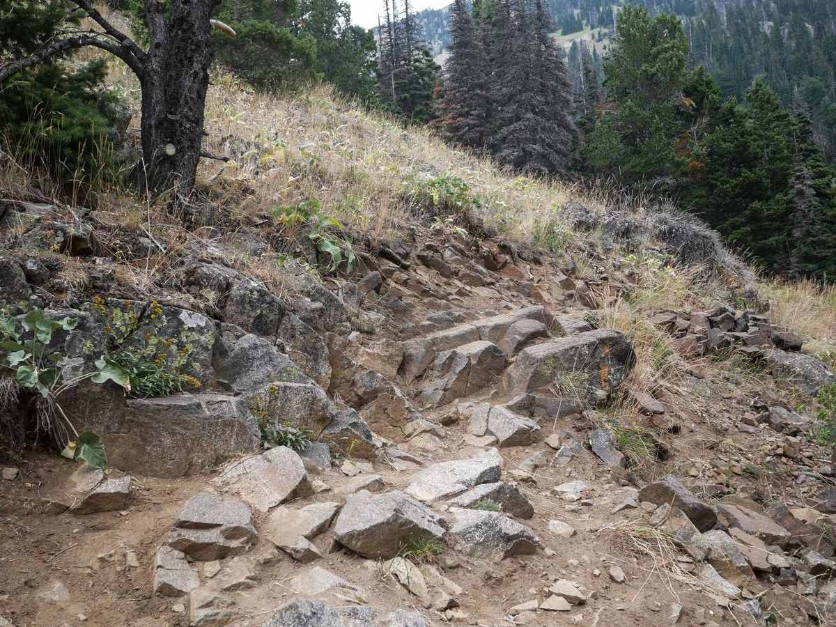
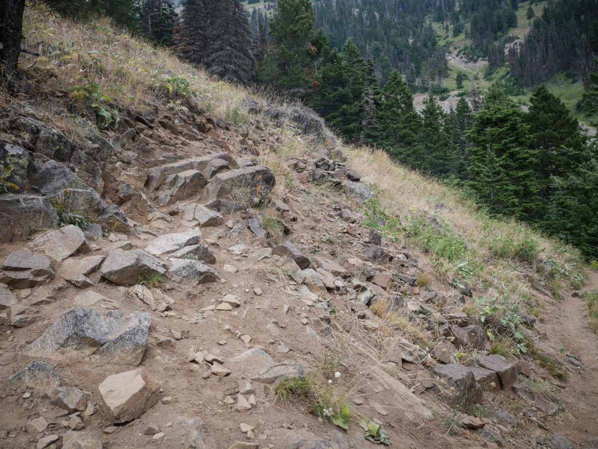
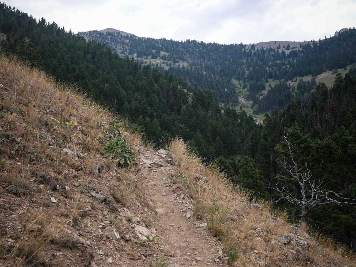
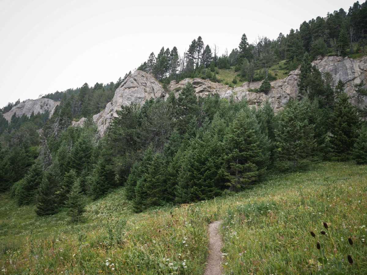
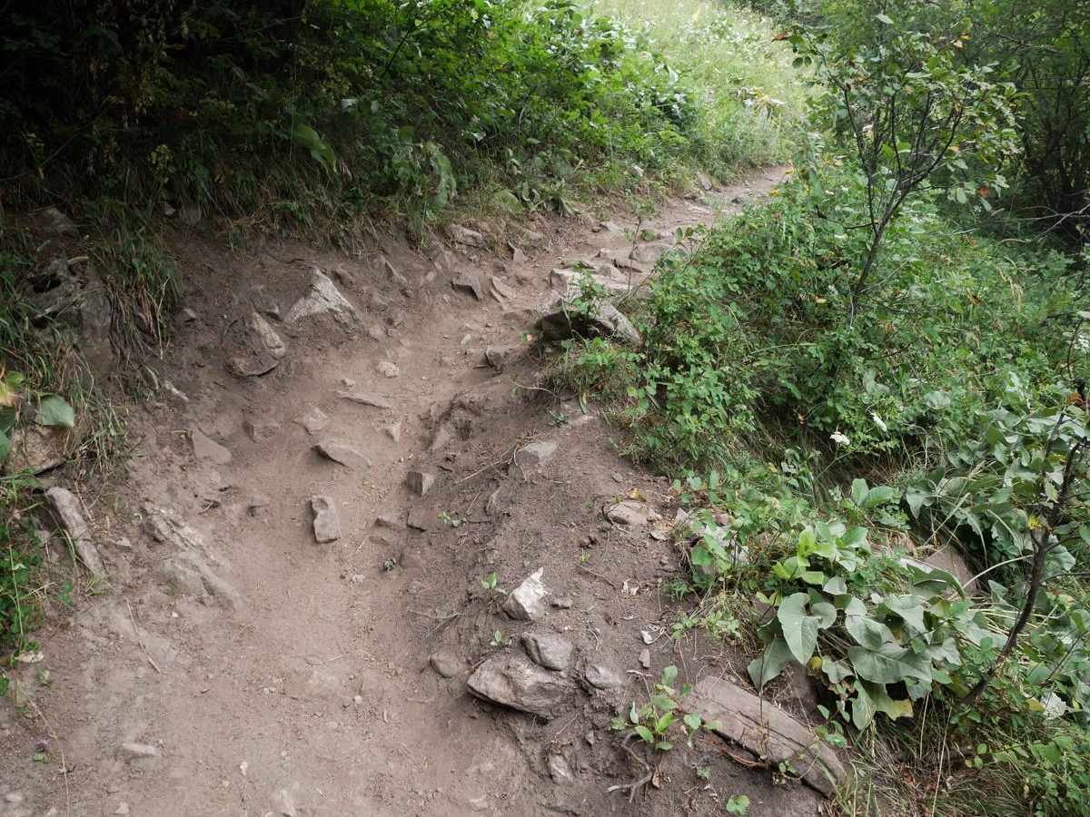
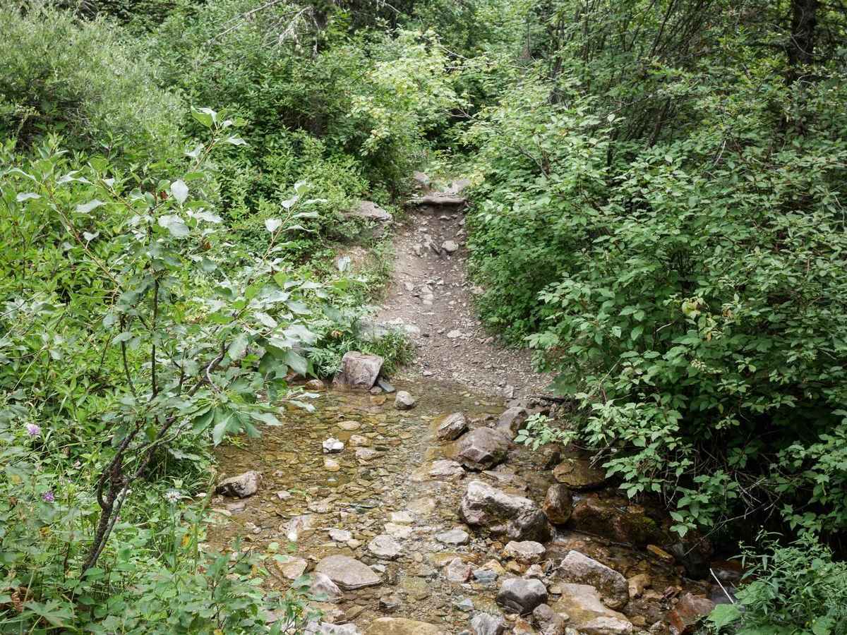
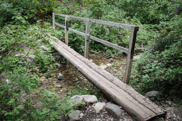
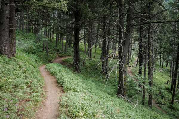
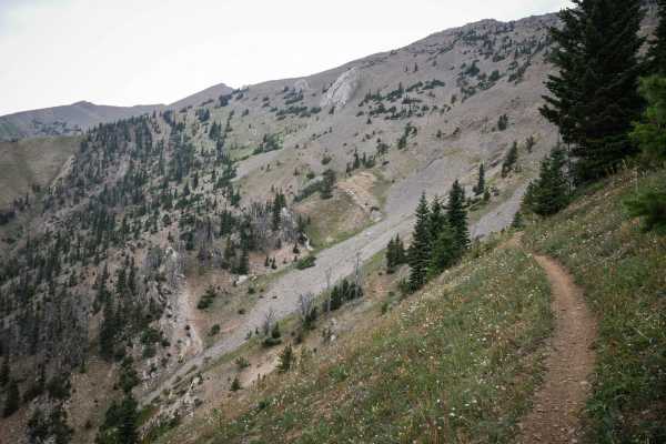
Bridger Mountain is 2.4 miles of single track with significant exposure and technical switchbacks, making it a challenging trail. The south end starts at the end of the Middle Cottonwood trail on an easy and flowy path with a few roots and rocks. Watch out for lots of hikers on this section of trail hiking from the Middle Cottonwood Trailhead. It starts to climb up and immediately gets more difficult with switchbacks and exposed side-hilling. It has small embedded rocks, lots of overgrown bushes, and small stream crossings. It starts to get really shelfy, on a narrow exposed hillside. Bigger embedded boulders, jagged rock layers, and roots across the trail during the narrow section make it even more challenging. The switchbacks are tight and may require multiple-point turns. One of them has small ledges and layers of rock in the corner, followed by more off-camber rock layers on the exposed hillside, and is probably the hardest obstacle on the trail. After the last few switchbacks, it continues as a shelfy trail into the Bridger Foothills Trail, which is similar difficulty.
Difficulty
Bridger Mountain is an upper intermediate difficulty level due to several technical switchbacks, moderate rock ledges, and extreme exposure while side-hilling.