Trail Overview
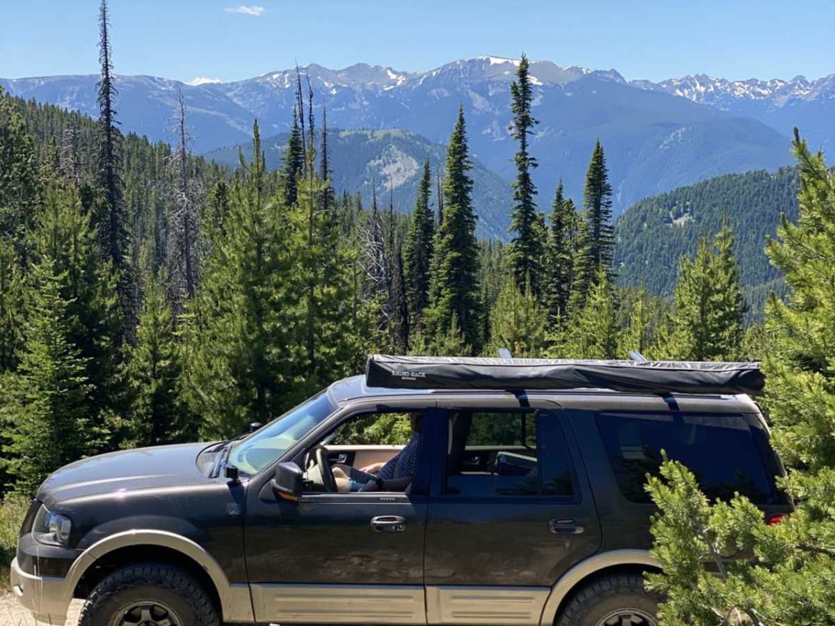
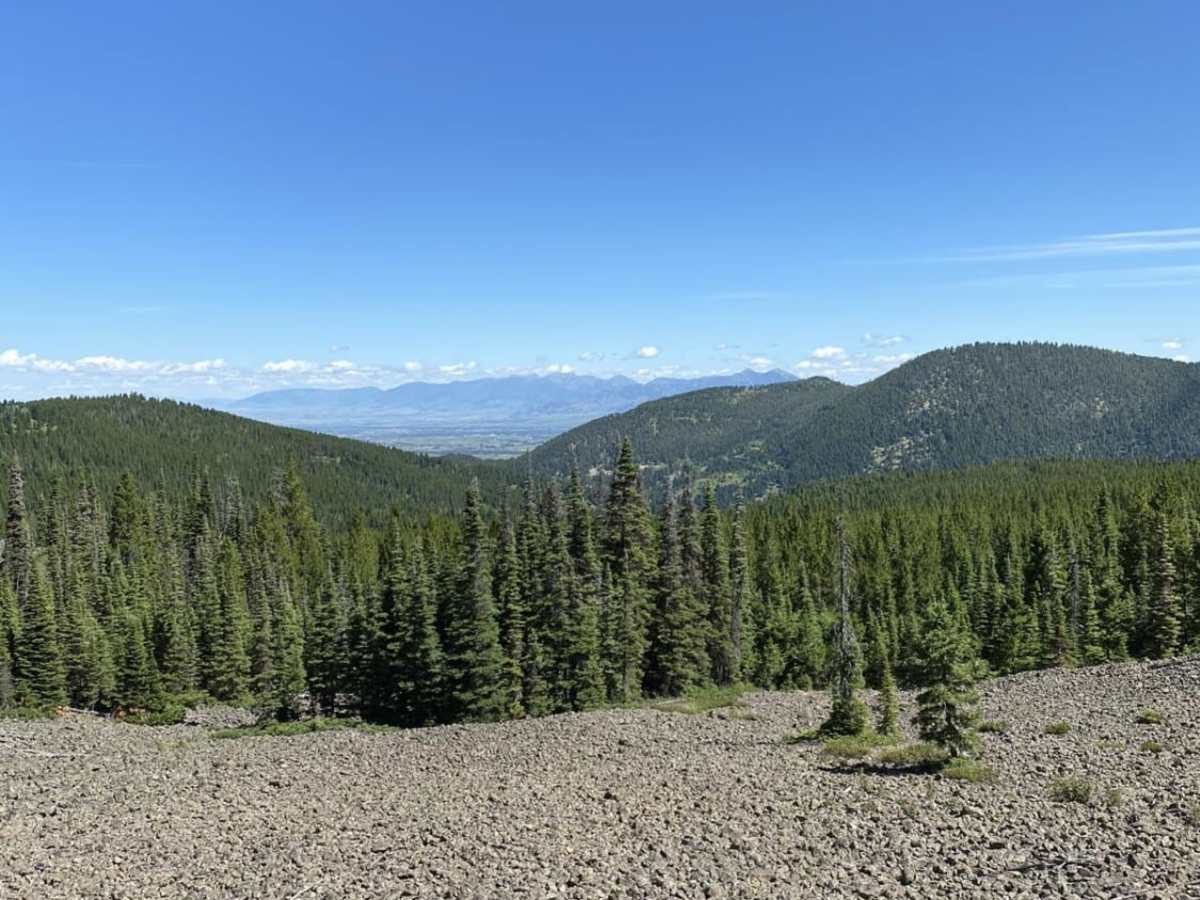
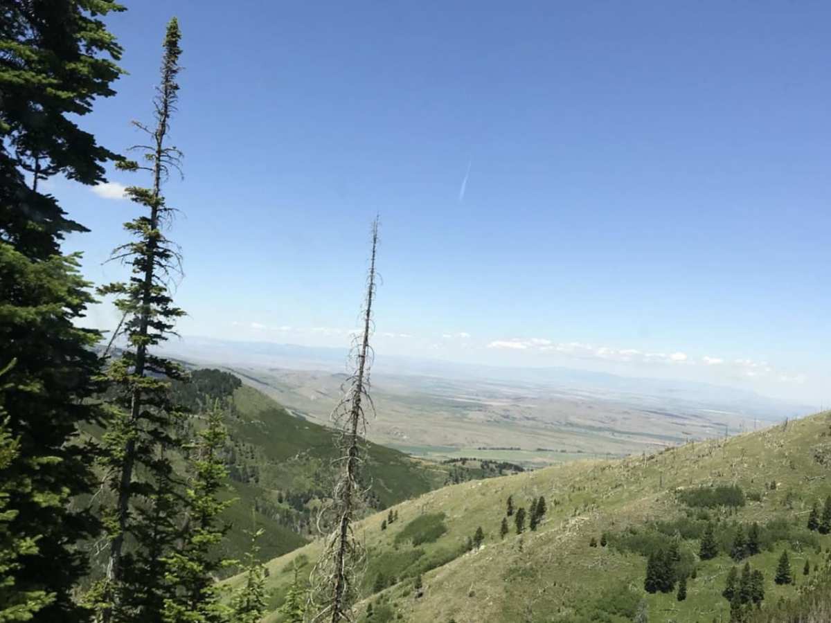
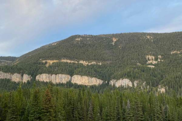
Wilson Creek Divide Road offers an approachable yet incredibly scenic mountain drive for four-wheel-drive vehicles, SxSs, and high-clearance adventure seekers looking to transition from the Gallatin Valley into the rugged Gallatin National Forest. Spanning approximately 28 miles and reaching a maximum elevation of 8,349 feet, this point-to-point route serves as a fantastic connector between the Gallatin Gateway area and the Storm Castle Creek drainage. Drivers will experience a cumulative elevation gain of around 3,200 feet as they climb through pine forests and open ridges that provide expansive views of the surrounding peaks, including Wheeler Mountain and Noon Mark. The primary surface consists of unpaved dirt and gravel, which remains mostly smooth and easily manageable for stock high-clearance vehicles during the dry summer and early autumn seasons.
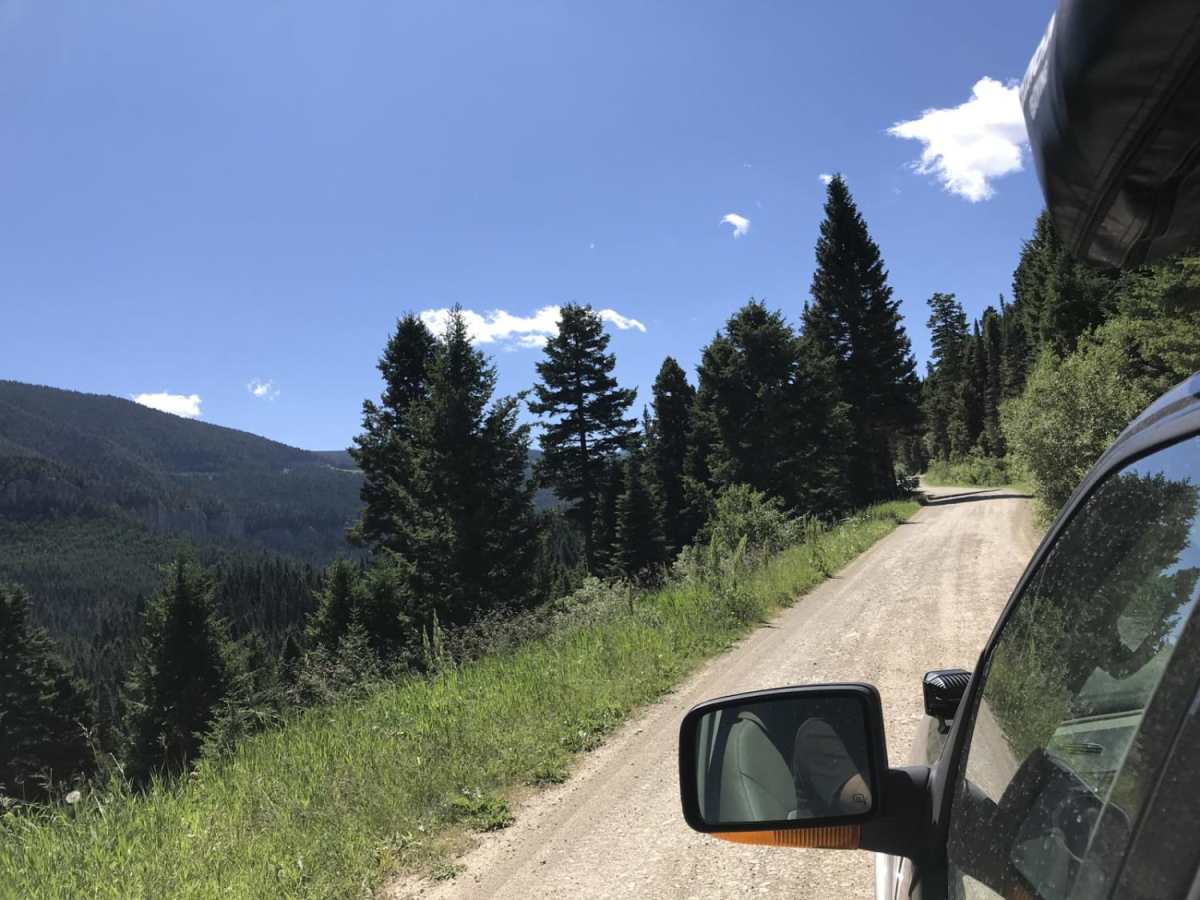
While the climb up the mountain is relatively straightforward with a technical rating of 2, drivers should remain alert for a few decent-sized boulders embedded in the dirt track that require careful line choice. After crossing the high divide, the road narrows significantly to a tight, single-track-width route as it begins its descent toward the Storm Castle area. This downhill stretch features one tight, potentially sketchy switchback that demands slow, precise maneuvering, particularly for larger four-wheel-drive trucks or SUVs. Numerous turnouts are scattered along the narrow descent to facilitate passing oncoming traffic, and the route eventually terminates near Highway 191, not far from the Garnet Mountain trailhead.

 Offroad