Trail Overview
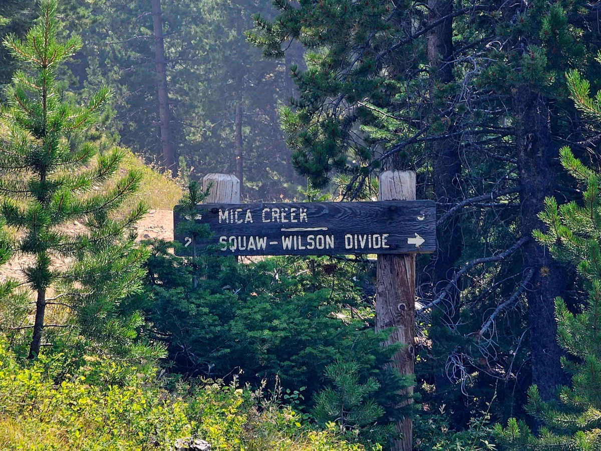
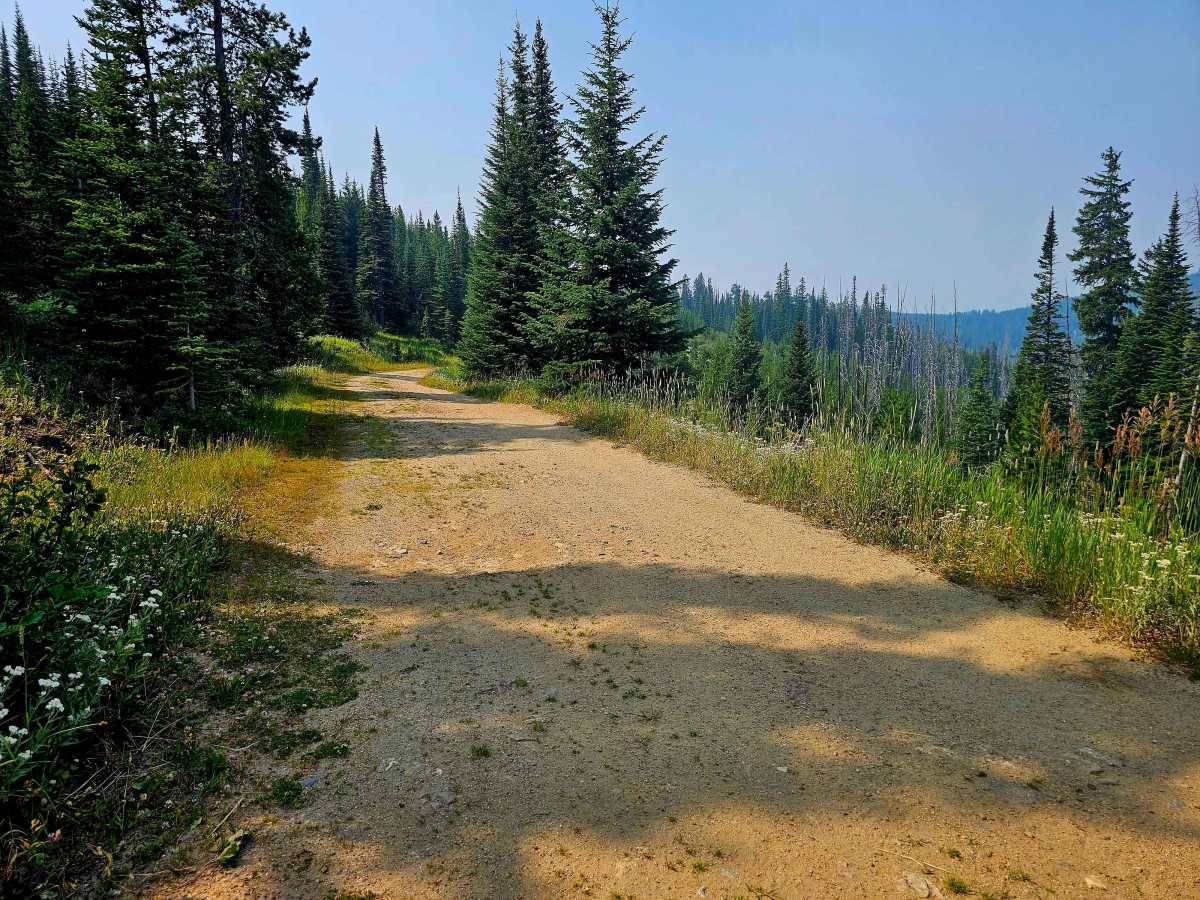
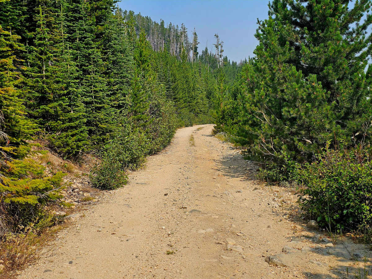
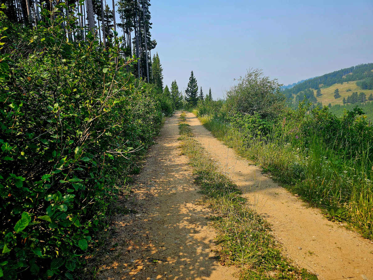
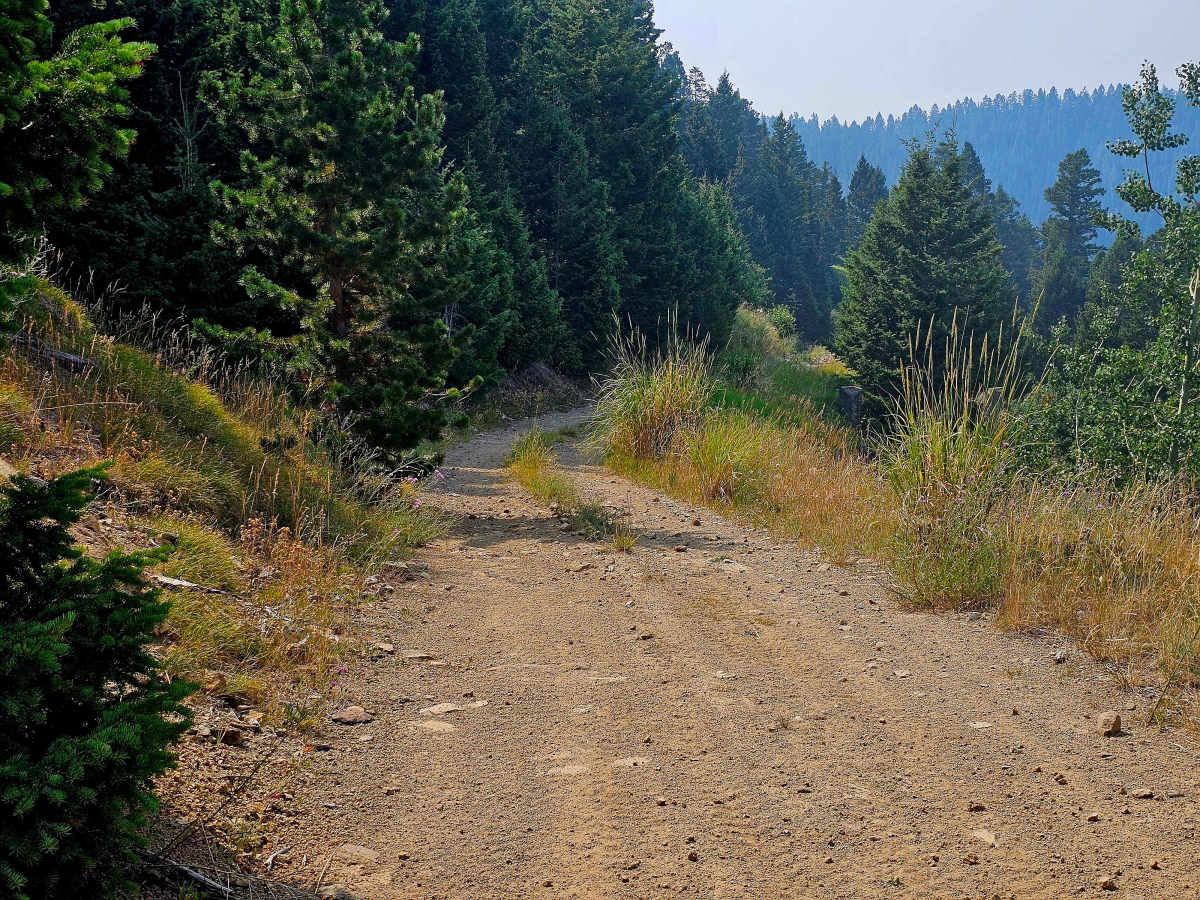
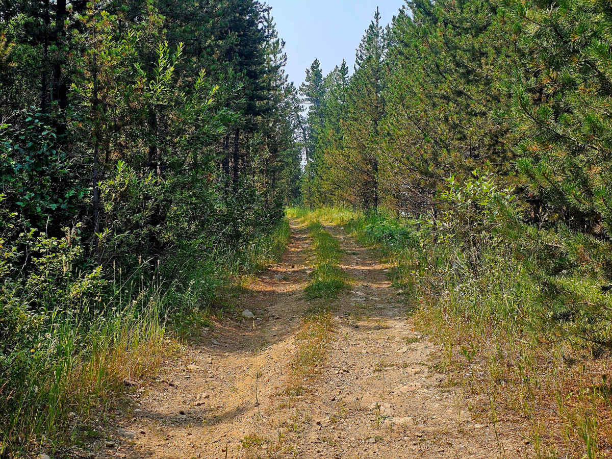
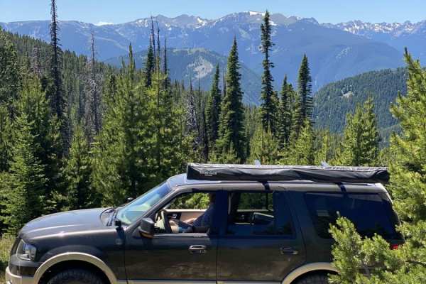
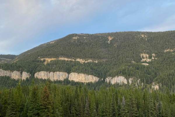
Squaw-Wilson Creek Divide Road is a Level 1–2 trail with a rough mix of dirt and rock. The road is very bumpy, so airing down is recommended. Despite the rough surface, it is in surprisingly good condition, possibly due to limited use. Most of the route is narrow single track with very few pullouts or turnaround areas. Overgrowth is heavy throughout, and vehicle contact with branches and brush is likely. Although marked for dispersed camping, most of the drive is shelf road with little to no usable camping space. Expect excellent views and easy access to the back side of Storm Castle Rock.
Difficulty
Squaw-Wilson Creek Divide Road is a lightly traveled Level 1–2 route that stays rough for much of its length, with uneven dirt and rock creating a consistently bumpy ride. Airing down can help improve comfort over the irregular surface. The road is generally in better condition than its rugged feel suggests, but it remains tight and confined, with little room to pull aside or turn around. Dense vegetation crowds the route in many areas, making contact with brush and branches likely.