Trail Overview
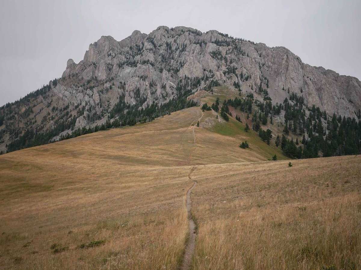
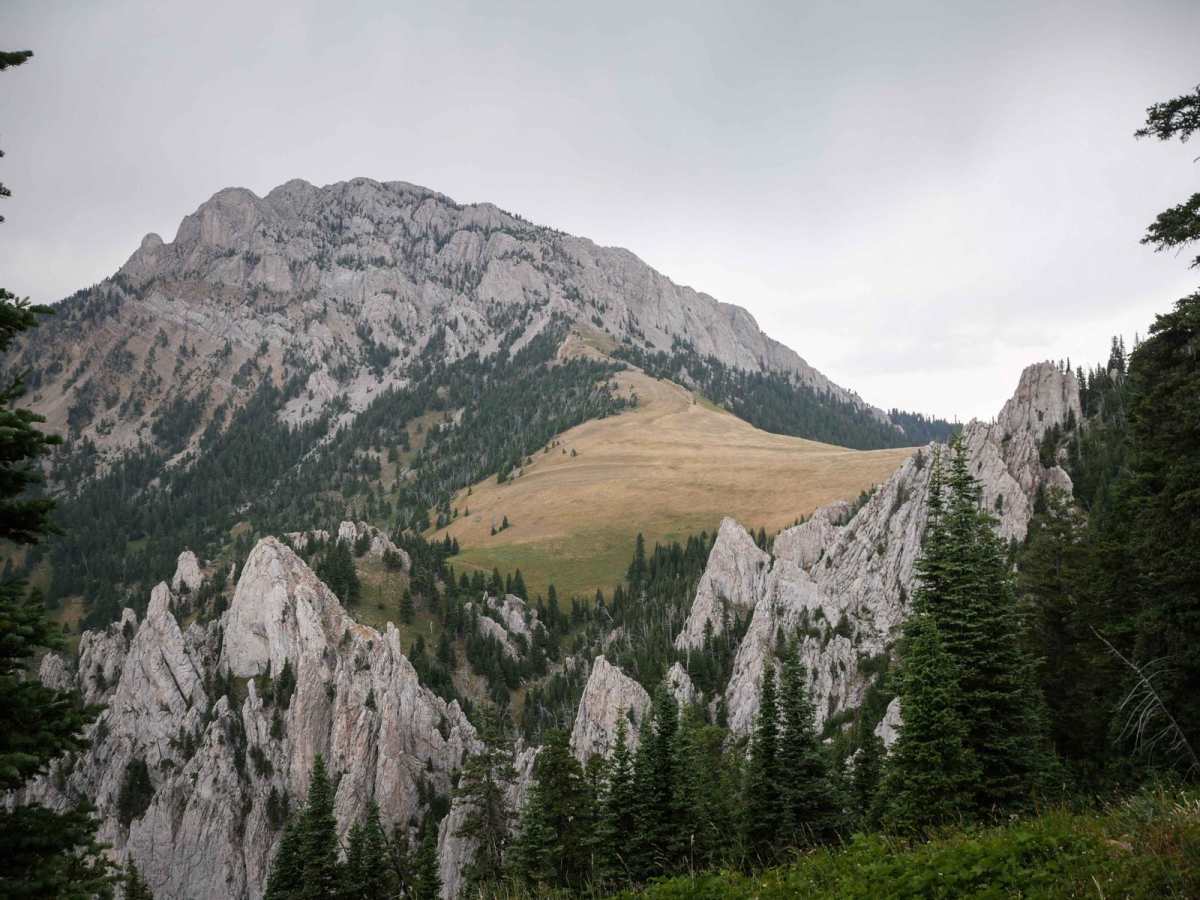
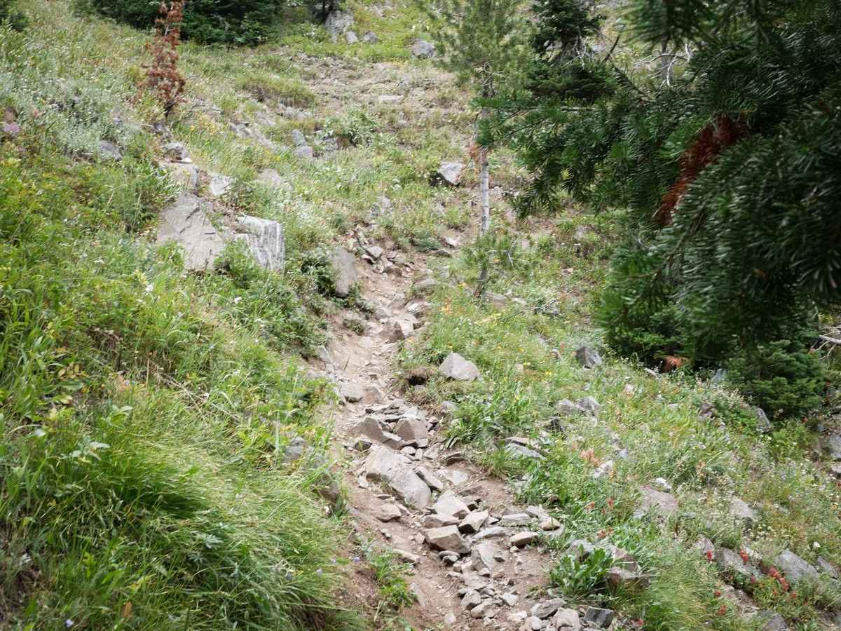
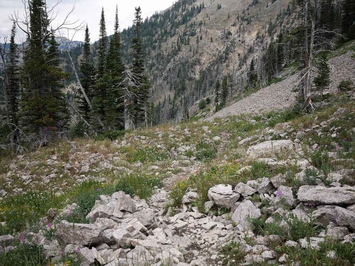
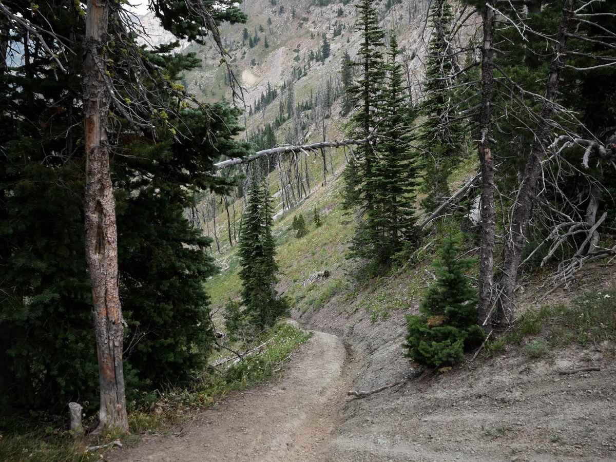
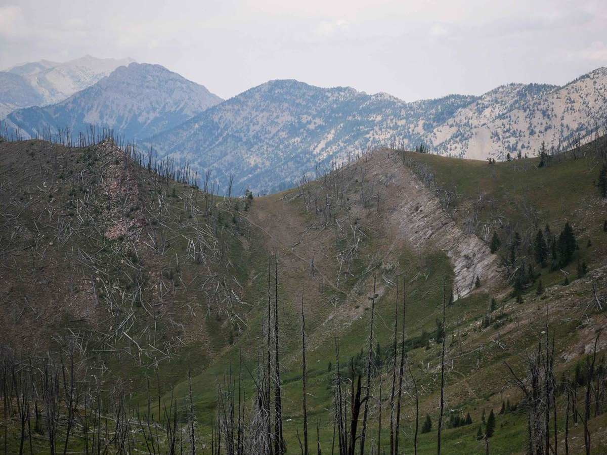
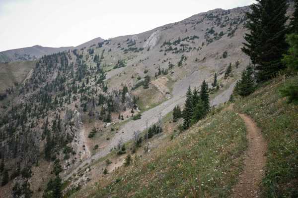
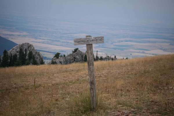
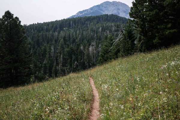
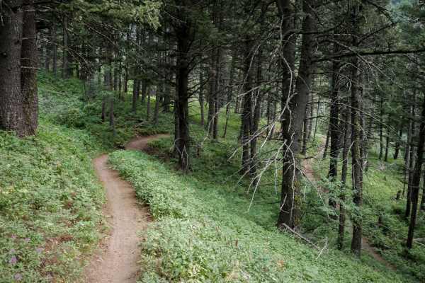
Bridger Foothills is a long singletrack through the Gallatin National Forest, almost 7 miles long of challenging rocks, epic views, and technical switchbacks. The south end is more like a continuation of the Bridger Mountain trail. From the south, it starts on a narrow shelfy trail mid-way up the mountain, then starts climbing up a series of moderately challenging switchbacks. They are tight, but mostly smooth as you make the turn, without any big ledges on the inside of the corners. The side-hilling sections between switchbacks are rocky though. It goes across scree fields with a bunch of loose rock in the trail and through an old burn area. After a half mile of steep climbing, it starts to steeply descend and mostly descends for the next 4 miles by side-hilling and traversing across the mountains and switch-backing down. Again, the switchbacks are tight but mostly smooth. There's a trough running down the middle of the trail at times, but later, a bunch of trail maintenance has been done to bench it out, and clear it of rocks and ruts, making it really smooth with no more troughs. About halfway through it passes the intersection with Truman Gulch, which is an easy side option, and the north end climbs up to the summit of Ross Pass to intersect with the Bridger Ridge and Upper Brackett Creek single tracks. The northern segment goes through a really scenic area past jagged towering rock spires.
Difficulty
This is an advanced trail due to very steep sections, lots of tight and steep switchbacks, rocky sections, and very exposed sections of side hilling. This trail is not for beginners. The southern half is about a 7 difficulty, while the north half is a bit easier. The north half has fewer rocks and fewer challenging switchbacks.