
Dirt Bike Trails
Near Foscoe, North Carolina
Explore All Dirt Bike Trails Near Foscoe, North Carolina
Dirt Bike Trails Near Foscoe, North Carolina
Discover the best dirt bike trails near you. Browse trail maps, check difficulty ratings, and find your next adventure — whether you're looking for a quick ride or an all-day expedition.
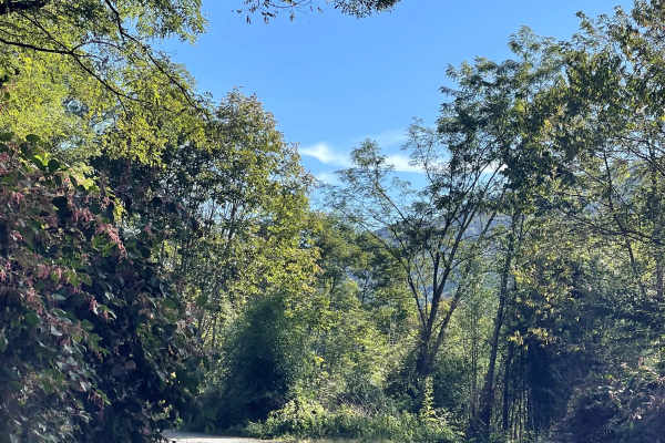
Mill Ridge
Mill Ridge provides users with a scenic connection to the Blue Ridge Parkway along a rough and somewhat rutted two-lane-wide gravel road. Compared with many of the easier gravel routes in the surrounding area, Mill Ridge offers a slightly more rugged driving experience due to several sections of lar...
Learn more about Mill Ridge
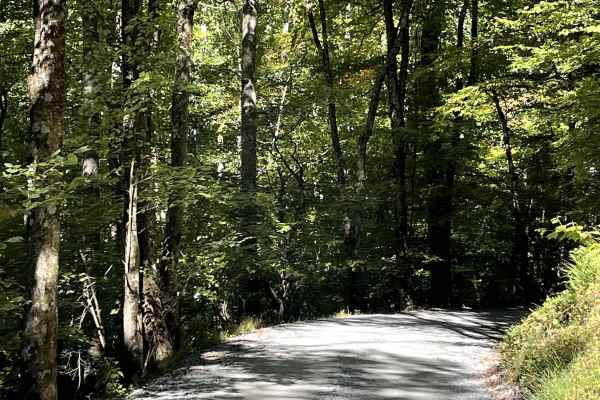
Shulls Mill
Shulls Mill Road provides users with another scenic connection to the Blue Ridge Parkway and offers an easy drive through the beautiful North Carolina High Country. Similar to nearby Mill Ridge, the road is approximately two lanes wide and consists primarily of a well-traveled gravel surface. Unlike...
Learn more about Shulls Mill
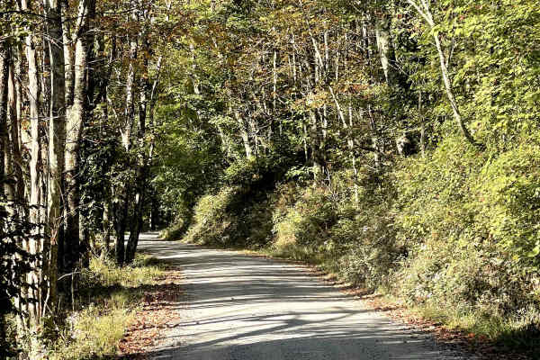
Lee Gualtney Road
Lee Gualtney Road is another enjoyable scenic route through the North Carolina High Country and is similar in character to nearby Andy Hicks Road. The road provides users with an easy and relaxing drive through the mountainous terrain and is free from major obstacles under normal conditions. While t...
Learn more about Lee Gualtney Road
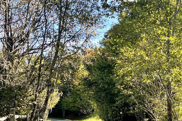
Shawnee Road
Shawnee Road is another scenic route through the North Carolina High Country that is similar in character to many of the surrounding roads. The trail provides an easy and enjoyable drive, with no major obstacles under normal conditions and terrain suitable for all vehicles. What helps Shawnee Road s...
Learn more about Shawnee Road
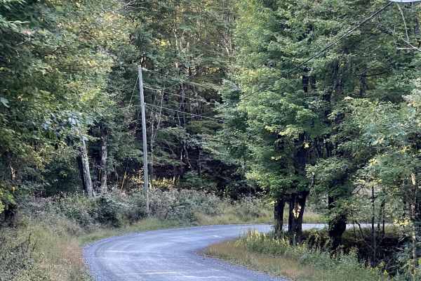
Andy Hicks Road
Andy Hicks Road is a must-run trail for anyone exploring the North Carolina High Country. The road itself is similar to many of the other scenic routes in the area, offering an easy drive that allows users to focus more on the surrounding landscape than on navigating difficult terrain. What truly se...
Learn more about Andy Hicks Road
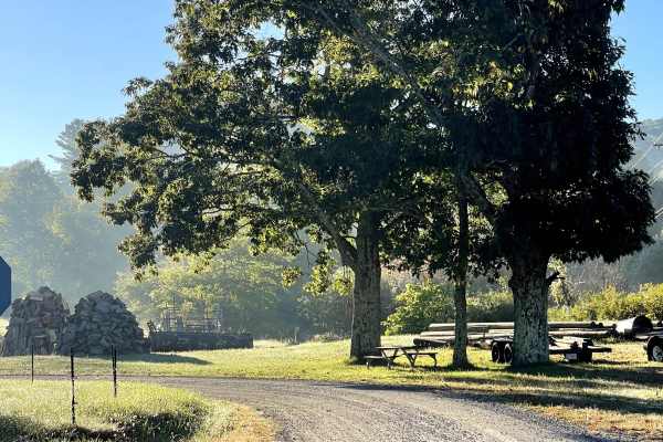
Rominger Road
Rominger Road is a scenic two-lane road that provides users with another easy and enjoyable route through the North Carolina High Country. The road is free from major obstacles and is suitable for all vehicles under normal conditions, making it a great option for anyone looking to explore the area w...
Learn more about Rominger Road
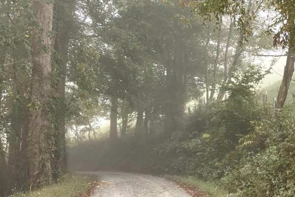
Long Ridge Road
Long Ridge Road is a scenic single-lane road that provides users with an alternate route between Watauga River Road and Rominger Road. Although primarily one lane wide, there is adequate room in several locations for vehicles to safely pass when encountering traffic traveling in the opposite directi...
Learn more about Long Ridge Road
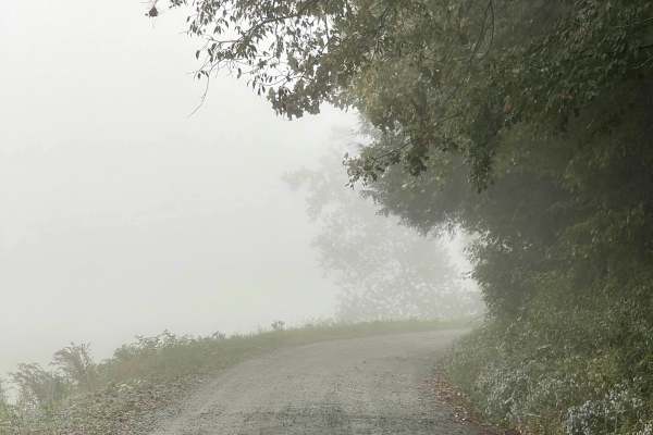
Watauga River Road
Watauga River Road is a scenic through trail that follows the Watauga River along a somewhat bumpy but well-maintained gravel road. The trail is approximately two lanes wide throughout and is free from major obstacles, making it suitable for all vehicles under normal conditions. While the gravel sur...
Learn more about Watauga River Road
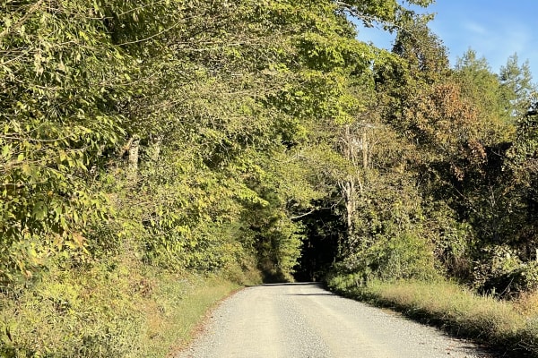
Laurel Creek Road
Laurel Creek Road is another scenic two-lane road that offers users an easy and relaxing drive through the beautiful North Carolina High Country. The road is free from major obstacles and is suitable for all vehicles under normal conditions, making it a great option for anyone exploring the area wit...
Learn more about Laurel Creek Road
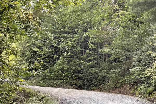
Little Bald Mountain
Little Bald Mountain is a trail accessed directly from the Blue Ridge Parkway and consists of well-maintained, hard-packed dirt. This area has recently reopened following extensive restoration work to repair damage caused by Hurricane Helene. The trail is free from major obstacles and is accessible ...
Learn more about Little Bald Mountain
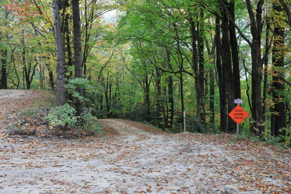
Lost Cove - FS 464A
Located within Pisgah National Forest, Lost Cove (Forest Service Road 464A) is a gravel-over-dirt road that is generally well maintained. It is an out-and-back route about one mile long and leads to the hiking-only Lost Cove Trail, which connects to Upper and Lower Little Lost Cove Falls. A small wa...
Learn more about Lost Cove - FS 464A
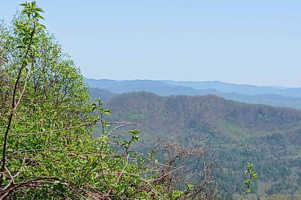
Maple Sally
This dirt road is a scenic drive in the Grandfather District of Pisgah National Forest. It is open year-round and can be traveled in either direction. Gravel bikes and mountain bikes are popular on this road. There are 2 mountain bike trails that either start or finish on this road. There are some c...
Learn more about Maple Sally
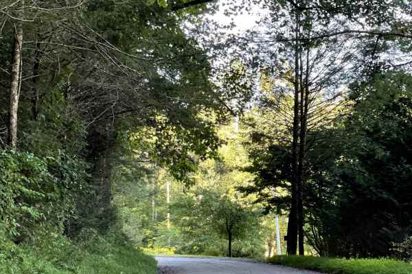
Jake's Mountain Road
Jake's Mountain Trail is a scenic route consisting of a mixture of hard-packed gravel, dirt, and sections of loose, larger stones. The trail is free from major obstacles and is generally a smooth drive, although there are several steep sections that can add some difficulty. Users will enjoy amazing ...
Learn more about Jake's Mountain Road
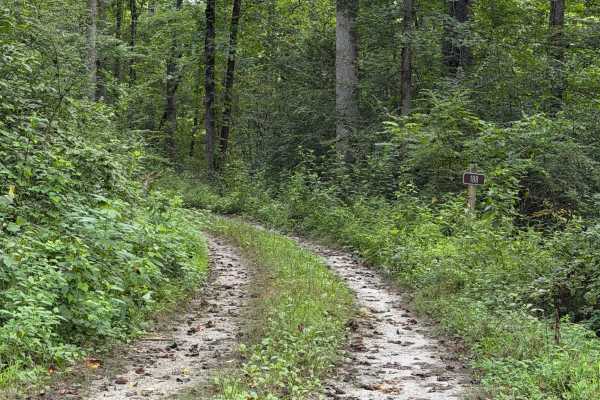
Frankum Creek - FS 188
Coming up onto the trail off of Globe Mountain Road, you will arrive at Frankum Creek - FS 188. Overgrown vegetation covers both sides of the gravel road from beginning to end but is tolerable. During rainy months, some parts of the road can become muddy and rut out which may make it difficult to 2W...
Learn more about Frankum Creek - FS 188
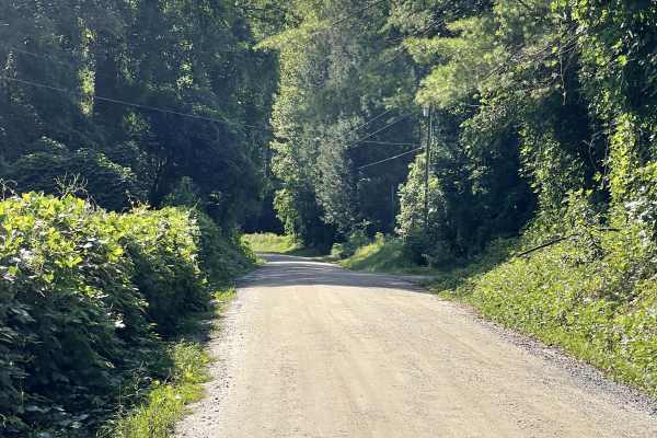
NC 90 East
NC 90 East connects with NC 90 West and serves as an important artery for users exploring some of the best trails and recreation opportunities in Pisgah National Forest. This route consists of hard-packed gravel and dirt and is approximately two lanes wide, providing plenty of room for vehicles to s...
Learn more about NC 90 East
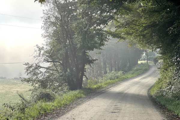
Raven Rock Road
Raven Rock Road is a beautiful, hard-packed dirt road that is approximately two lanes wide and free of major obstacles. The road provides an easy and enjoyable route through the surrounding area and is suitable for most vehicles, including stock SUVs and trucks. This trail is an out-and-back route, ...
Learn more about Raven Rock Road
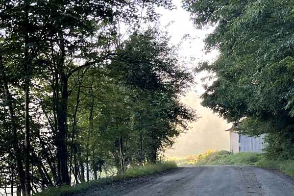
Roby Green Road
Roby Greene Road transitions to gravel shortly after users cross over the bridge. From there, the trail consists primarily of hard-packed dirt with occasional gravel sections. The route is free from major obstacles and is suitable for all vehicles, making it an easy and accessible trail for a wide r...
Learn more about Roby Green Road
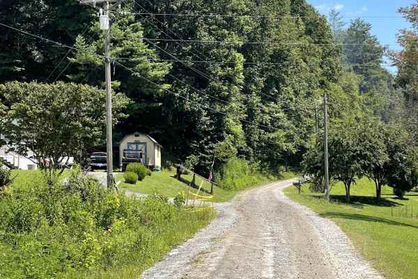
Globe Mountain Road
Globe Mountain Road is a through-route that provides another enjoyable drive through the local off-road network. The road is well maintained, approximately two lanes wide, and consists of a hard-packed gravel surface that is easy to navigate. The trail is free of major obstacles and suitable for mos...
Learn more about Globe Mountain Road
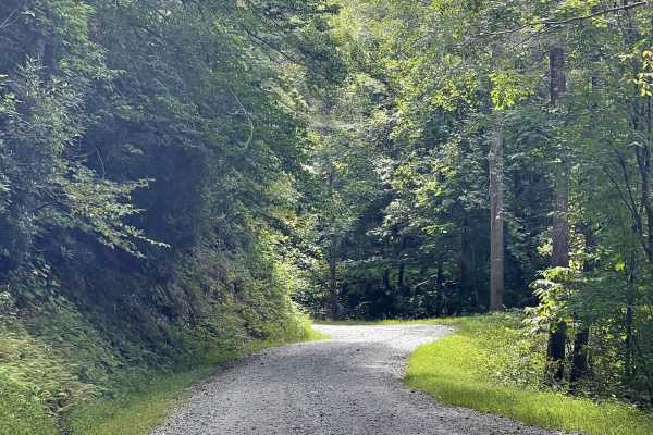
Waterfalls Road
Waterfalls Road is a well-maintained gravel road that is approximately two lanes wide and free from major obstacles. The smooth, straightforward route is suitable for all vehicles and does not require specialized off-road equipment under normal conditions. Users can enjoy a scenic drive through the ...
Learn more about Waterfalls Road
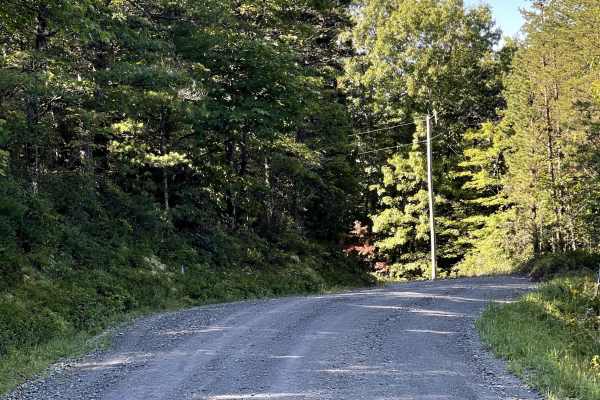
Sampson Road
Sampson Road is a well-maintained gravel and dirt county road that is mostly two lanes wide and free from major obstacles. The trail surface is generally smooth and easy to travel, with occasional washboard sections, particularly around some of the corners. This route is suitable for most vehicles a...
Learn more about Sampson Road
ATV trails near Foscoe, North Carolina
Explore ATV-friendly trails near you. These trails are accessible for vehicles up to 50 inches wide, perfect for ATVs and smaller off-road machines.
Lost Cove - FS 464A
Located within Pisgah National Forest, Lost Cove (Forest Service Road 464A) is a gravel-over-dirt road that is generally well maintained. It is an out-and-back route about one mile long and leads to the hiking-only Lost Cove Trail, which connects to Upper and Lower Little Lost Cove Falls. A small wa...
Learn more about Lost Cove - FS 464A
Maple Sally
This dirt road is a scenic drive in the Grandfather District of Pisgah National Forest. It is open year-round and can be traveled in either direction. Gravel bikes and mountain bikes are popular on this road. There are 2 mountain bike trails that either start or finish on this road. There are some c...
Learn more about Maple Sally
Frankum Creek - FS 188
Coming up onto the trail off of Globe Mountain Road, you will arrive at Frankum Creek - FS 188. Overgrown vegetation covers both sides of the gravel road from beginning to end but is tolerable. During rainy months, some parts of the road can become muddy and rut out which may make it difficult to 2W...
Learn more about Frankum Creek - FS 188
FS 496
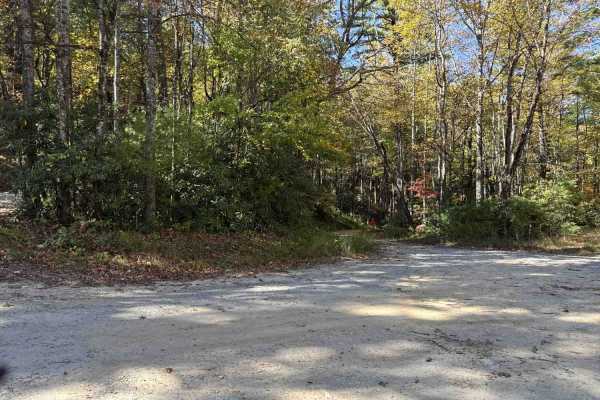
This Forest Service road is a well-maintained gravel route over hard-packed dirt with occasional small washes, typically less than a foot deep. It features multiple switchbacks bordered by scenic gorges on both sides and may have light water flow after rainfall. Some areas show signs of past washout...
Learn more about FS 496
UTV/side-by-side trails near Foscoe, North Carolina
Find UTV and side-by-side trails near you. These trails accommodate vehicles up to 60 inches wide, ideal for UTVs, side-by-sides, and wider off-road rigs.
Lost Cove - FS 464A
Located within Pisgah National Forest, Lost Cove (Forest Service Road 464A) is a gravel-over-dirt road that is generally well maintained. It is an out-and-back route about one mile long and leads to the hiking-only Lost Cove Trail, which connects to Upper and Lower Little Lost Cove Falls. A small wa...
Learn more about Lost Cove - FS 464A
Maple Sally
This dirt road is a scenic drive in the Grandfather District of Pisgah National Forest. It is open year-round and can be traveled in either direction. Gravel bikes and mountain bikes are popular on this road. There are 2 mountain bike trails that either start or finish on this road. There are some c...
Learn more about Maple Sally
Frankum Creek - FS 188
Coming up onto the trail off of Globe Mountain Road, you will arrive at Frankum Creek - FS 188. Overgrown vegetation covers both sides of the gravel road from beginning to end but is tolerable. During rainy months, some parts of the road can become muddy and rut out which may make it difficult to 2W...
Learn more about Frankum Creek - FS 188
FS 496
This Forest Service road is a well-maintained gravel route over hard-packed dirt with occasional small washes, typically less than a foot deep. It features multiple switchbacks bordered by scenic gorges on both sides and may have light water flow after rainfall. Some areas show signs of past washout...
Learn more about FS 496
The onX Offroad Difference
onX Offroad combines trail photos, descriptions, difficulty ratings, width restrictions, seasonality, and more in a user-friendly interface. Available on all devices, with offline access and full compatibility with CarPlay and Android Auto. Discover what you're missing today!
Open Trail Map