
Dirt Bike Trails
Near Valle Crucis, North Carolina
Explore All Dirt Bike Trails Near Valle Crucis, North Carolina
Dirt Bike Trails Near Valle Crucis, North Carolina
Discover the best dirt bike trails near you. Browse trail maps, check difficulty ratings, and find your next adventure — whether you're looking for a quick ride or an all-day expedition.
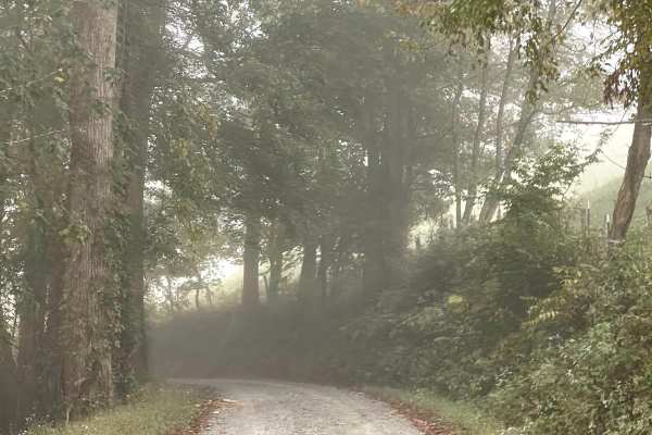
Long Ridge Road
Long Ridge Road is a scenic single-lane road that provides users with an alternate route between Watauga River Road and Rominger Road. Although primarily one lane wide, there is adequate room in several locations for vehicles to safely pass when encountering traffic traveling in the opposite directi...
Learn more about Long Ridge Road

Watauga River Road
Watauga River Road is a scenic through trail that follows the Watauga River along a somewhat bumpy but well-maintained gravel road. The trail is approximately two lanes wide throughout and is free from major obstacles, making it suitable for all vehicles under normal conditions. While the gravel sur...
Learn more about Watauga River Road
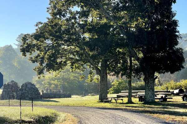
Rominger Road
Rominger Road is a scenic two-lane road that provides users with another easy and enjoyable route through the North Carolina High Country. The road is free from major obstacles and is suitable for all vehicles under normal conditions, making it a great option for anyone looking to explore the area w...
Learn more about Rominger Road
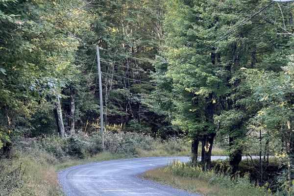
Andy Hicks Road
Andy Hicks Road is a must-run trail for anyone exploring the North Carolina High Country. The road itself is similar to many of the other scenic routes in the area, offering an easy drive that allows users to focus more on the surrounding landscape than on navigating difficult terrain. What truly se...
Learn more about Andy Hicks Road
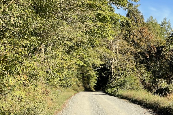
Laurel Creek Road
Laurel Creek Road is another scenic two-lane road that offers users an easy and relaxing drive through the beautiful North Carolina High Country. The road is free from major obstacles and is suitable for all vehicles under normal conditions, making it a great option for anyone exploring the area wit...
Learn more about Laurel Creek Road
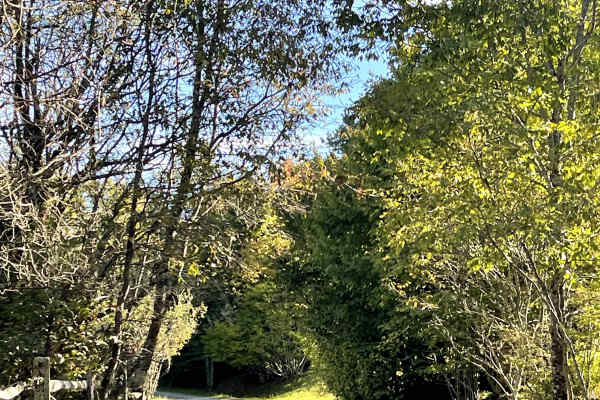
Shawnee Road
Shawnee Road is another scenic route through the North Carolina High Country that is similar in character to many of the surrounding roads. The trail provides an easy and enjoyable drive, with no major obstacles under normal conditions and terrain suitable for all vehicles. What helps Shawnee Road s...
Learn more about Shawnee Road
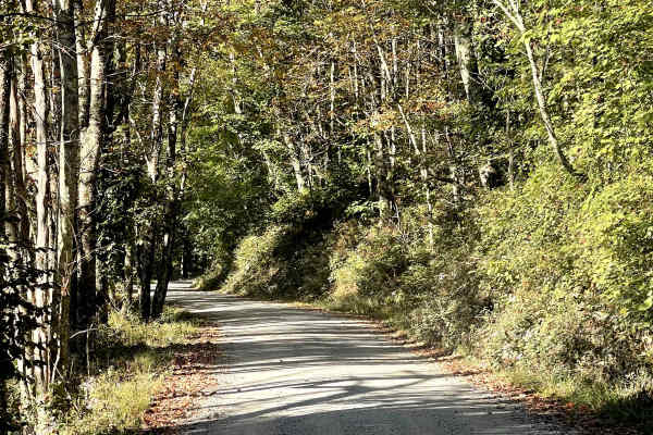
Lee Gualtney Road
Lee Gualtney Road is another enjoyable scenic route through the North Carolina High Country and is similar in character to nearby Andy Hicks Road. The road provides users with an easy and relaxing drive through the mountainous terrain and is free from major obstacles under normal conditions. While t...
Learn more about Lee Gualtney Road
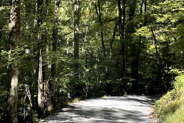
Shulls Mill
Shulls Mill Road provides users with another scenic connection to the Blue Ridge Parkway and offers an easy drive through the beautiful North Carolina High Country. Similar to nearby Mill Ridge, the road is approximately two lanes wide and consists primarily of a well-traveled gravel surface. Unlike...
Learn more about Shulls Mill
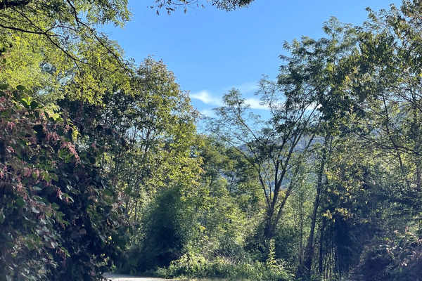
Mill Ridge
Mill Ridge provides users with a scenic connection to the Blue Ridge Parkway along a rough and somewhat rutted two-lane-wide gravel road. Compared with many of the easier gravel routes in the surrounding area, Mill Ridge offers a slightly more rugged driving experience due to several sections of lar...
Learn more about Mill Ridge
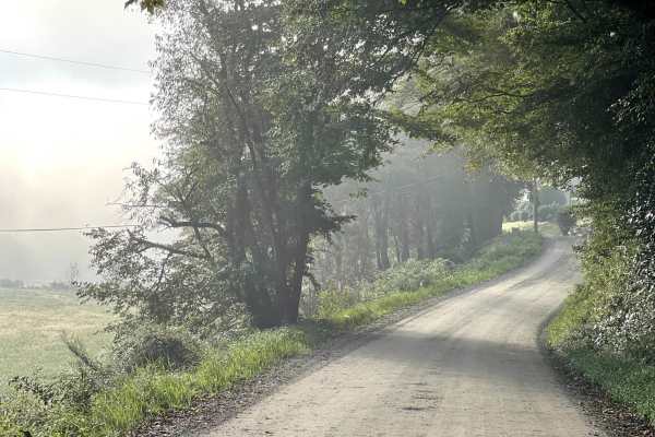
Raven Rock Road
Raven Rock Road is a beautiful, hard-packed dirt road that is approximately two lanes wide and free of major obstacles. The road provides an easy and enjoyable route through the surrounding area and is suitable for most vehicles, including stock SUVs and trucks. This trail is an out-and-back route, ...
Learn more about Raven Rock Road
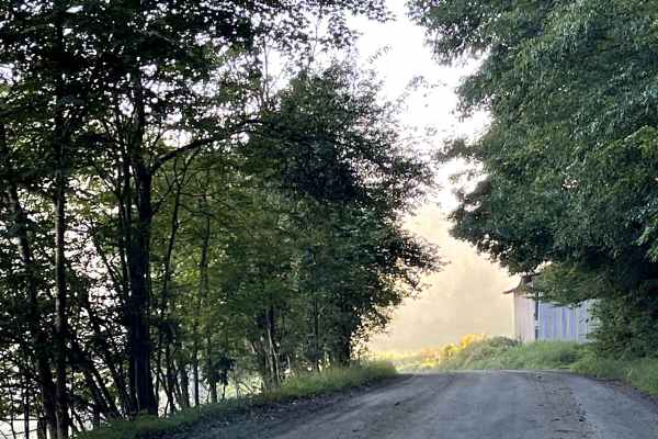
Roby Green Road
Roby Greene Road transitions to gravel shortly after users cross over the bridge. From there, the trail consists primarily of hard-packed dirt with occasional gravel sections. The route is free from major obstacles and is suitable for all vehicles, making it an easy and accessible trail for a wide r...
Learn more about Roby Green Road
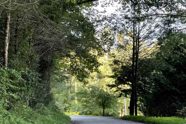
Jake's Mountain Road
Jake's Mountain Trail is a scenic route consisting of a mixture of hard-packed gravel, dirt, and sections of loose, larger stones. The trail is free from major obstacles and is generally a smooth drive, although there are several steep sections that can add some difficulty. Users will enjoy amazing ...
Learn more about Jake's Mountain Road
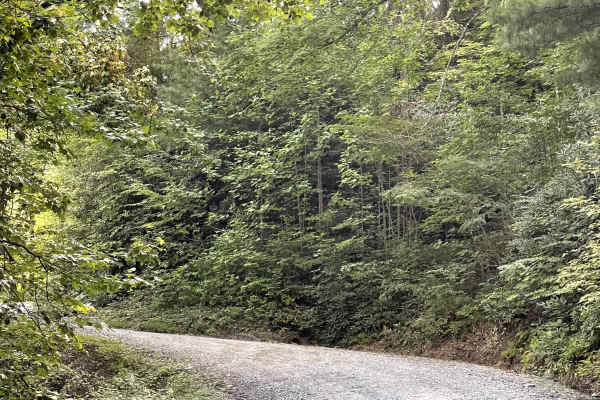
Little Bald Mountain
Little Bald Mountain is a trail accessed directly from the Blue Ridge Parkway and consists of well-maintained, hard-packed dirt. This area has recently reopened following extensive restoration work to repair damage caused by Hurricane Helene. The trail is free from major obstacles and is accessible ...
Learn more about Little Bald Mountain
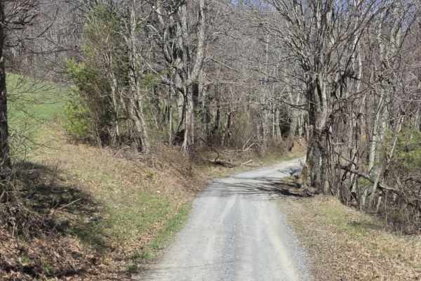
Heaton Branch Road
Heaton Branch Road is an easy gravel route that offers a straightforward drive with a few features that require driver awareness. The road consists of a traditional gravel surface and includes numerous twists and turns, making it important to stay attentive, especially when visibility is limited aro...
Learn more about Heaton Branch Road
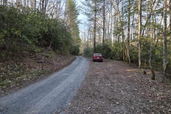
Bitter End - Lacy Trap
Bitter End – Lacy Trap is a moderately easy out-and-back trail that offers a mix of surface variation and light obstacles throughout. The trail begins with an entrance that may appear to lead onto private land, but it is a designated route—continue through the gate and cross both cattle guards to ac...
Learn more about Bitter End - Lacy Trap
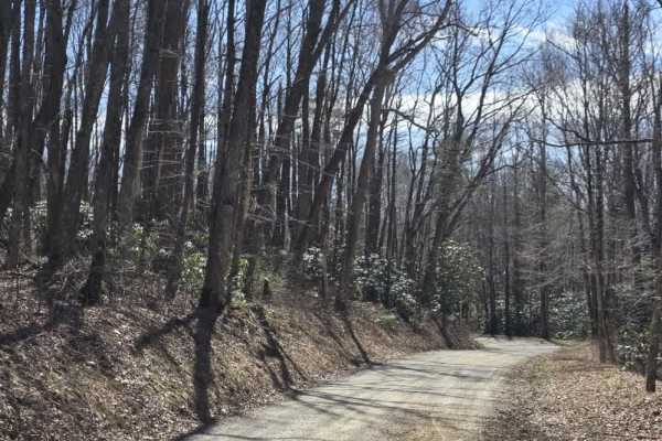
Walnut Mountain Road
Walnut Mountain Road is an easy gravel route that winds through a mix of rural and forested terrain, including sections of the Cherokee National Forest. The road is generally wide enough for two vehicles and follows gentle grades, making it accessible for most drivers under normal conditions. Along ...
Learn more about Walnut Mountain Road
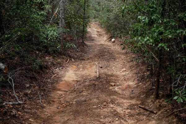
821
Trail 821 is a short, half-mile connector linking Trail 21 to Trail 23, offering a steeper climb from south to north. Though it's narrower than surrounding trails and winds through dense rhododendron, it remains mostly smooth with only mild trail debris--loose rocks, sticks, and occasional low branc...
Learn more about 821
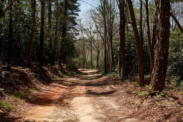
23
Trail 23 at Doe Mountain Recreation Area offers a wide, well-maintained path ideal for SxS drivers seeking a smooth, fast east-west connector. Much like Trail 21, it features broad, gradual curves and a nearly debris-free surface, making for an easy and enjoyable ride. Drivers will pass a storm shel...
Learn more about 23
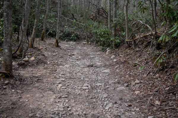
26
Trail 26 is a more challenging 2.2-mile descent from south to north, dropping nearly 1,000 feet in elevation through lush forest lined with rhododendron and tall, slender trees. The trail begins moderately but quickly transitions into a steep and rocky downhill, full of large, loose, football-sized ...
Learn more about 26
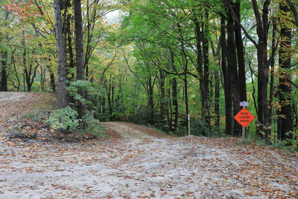
Lost Cove - FS 464A
Located within Pisgah National Forest, Lost Cove (Forest Service Road 464A) is a gravel-over-dirt road that is generally well maintained. It is an out-and-back route about one mile long and leads to the hiking-only Lost Cove Trail, which connects to Upper and Lower Little Lost Cove Falls. A small wa...
Learn more about Lost Cove - FS 464A
ATV trails near Valle Crucis, North Carolina
Explore ATV-friendly trails near you. These trails are accessible for vehicles up to 50 inches wide, perfect for ATVs and smaller off-road machines.
Heaton Branch Road
Heaton Branch Road is an easy gravel route that offers a straightforward drive with a few features that require driver awareness. The road consists of a traditional gravel surface and includes numerous twists and turns, making it important to stay attentive, especially when visibility is limited aro...
Learn more about Heaton Branch Road
Bitter End - Lacy Trap
Bitter End – Lacy Trap is a moderately easy out-and-back trail that offers a mix of surface variation and light obstacles throughout. The trail begins with an entrance that may appear to lead onto private land, but it is a designated route—continue through the gate and cross both cattle guards to ac...
Learn more about Bitter End - Lacy Trap
Walnut Mountain Road
Walnut Mountain Road is an easy gravel route that winds through a mix of rural and forested terrain, including sections of the Cherokee National Forest. The road is generally wide enough for two vehicles and follows gentle grades, making it accessible for most drivers under normal conditions. Along ...
Learn more about Walnut Mountain Road
821
Trail 821 is a short, half-mile connector linking Trail 21 to Trail 23, offering a steeper climb from south to north. Though it's narrower than surrounding trails and winds through dense rhododendron, it remains mostly smooth with only mild trail debris--loose rocks, sticks, and occasional low branc...
Learn more about 821
UTV/side-by-side trails near Valle Crucis, North Carolina
Find UTV and side-by-side trails near you. These trails accommodate vehicles up to 60 inches wide, ideal for UTVs, side-by-sides, and wider off-road rigs.
Heaton Branch Road
Heaton Branch Road is an easy gravel route that offers a straightforward drive with a few features that require driver awareness. The road consists of a traditional gravel surface and includes numerous twists and turns, making it important to stay attentive, especially when visibility is limited aro...
Learn more about Heaton Branch Road
Bitter End - Lacy Trap
Bitter End – Lacy Trap is a moderately easy out-and-back trail that offers a mix of surface variation and light obstacles throughout. The trail begins with an entrance that may appear to lead onto private land, but it is a designated route—continue through the gate and cross both cattle guards to ac...
Learn more about Bitter End - Lacy Trap
Walnut Mountain Road
Walnut Mountain Road is an easy gravel route that winds through a mix of rural and forested terrain, including sections of the Cherokee National Forest. The road is generally wide enough for two vehicles and follows gentle grades, making it accessible for most drivers under normal conditions. Along ...
Learn more about Walnut Mountain Road
821
Trail 821 is a short, half-mile connector linking Trail 21 to Trail 23, offering a steeper climb from south to north. Though it's narrower than surrounding trails and winds through dense rhododendron, it remains mostly smooth with only mild trail debris--loose rocks, sticks, and occasional low branc...
Learn more about 821
The onX Offroad Difference
onX Offroad combines trail photos, descriptions, difficulty ratings, width restrictions, seasonality, and more in a user-friendly interface. Available on all devices, with offline access and full compatibility with CarPlay and Android Auto. Discover what you're missing today!
Open Trail Map