
Dirt Bike Trails
Near Fair Haven Colony, Montana
Explore All Dirt Bike Trails Near Fair Haven Colony, Montana
Dirt Bike Trails Near Fair Haven Colony, Montana
Discover the best dirt bike trails near you. Browse trail maps, check difficulty ratings, and find your next adventure — whether you're looking for a quick ride or an all-day expedition.
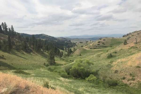
St. Peters Mission
The Adel Mountains are a geologist's dream to experience. Filled with small laccoliths and dikes, this igneous complex dates to approximately 65 million years ago. The resulting topography is that of rolling hills, lush had meadow valleys, and prominent igneous ridges and buttes. A beautiful vista i...
Learn more about St. Peters Mission
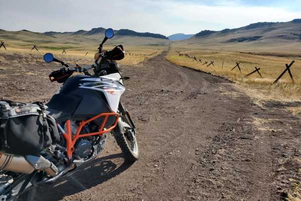
Dead Man Gulch
Dead Man Gulch is a fast, flowy 5.1-mile dirt connector road linking Montana Highway 434 and U.S. Highway 287, offering a scenic and dirt-friendly alternative to pavement for adventure motorcycle riders, four-wheel-drive vehicles, and SxSs. Originally a rutted, eroded track, the route has been recen...
Learn more about Dead Man Gulch
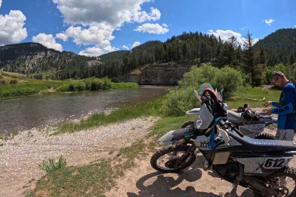
Smith River Trail
Starting at the Deep Creek trailhead in the Little Belt Mountains, take the North Fork Deep Creek trail. About 1.5 miles in, you will run into a small section of double track for 2 to 3 miles. Then you will take the Old Baldy trail off of the double track. This trail is marked and should be easy to ...
Learn more about Smith River Trail
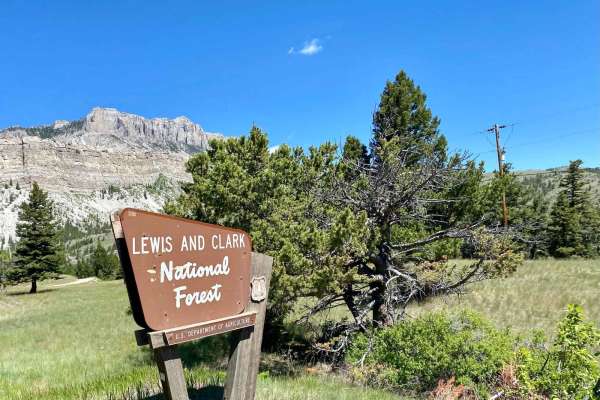
Sun Canyon Road
This is a two-lane dirt road that gives you access to amazing views, campgrounds, ATV trails, hiking and packing trails, picnic sites, and ending at the amazing Gibson Reservoir. From the Gibson Reservoir, you can access the Bob Marshall Wilderness by foot, boot, or horse. This is a nice and easy dr...
Learn more about Sun Canyon Road
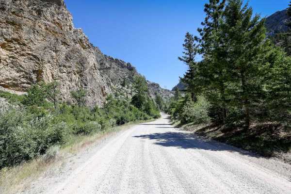
Beaver Creek - Indian Creek FS 138
This route on Forest Service Road 138 travels from Nelson, Montana, to the Indian Flats Forest Service Cabin along Indian Creek. The route has multiple dispersed camping sites along Beaver Creek and also higher up, closer to the Indian Flats Cabin. The route does pass through a parcel of private la...
Learn more about Beaver Creek - Indian Creek FS 138
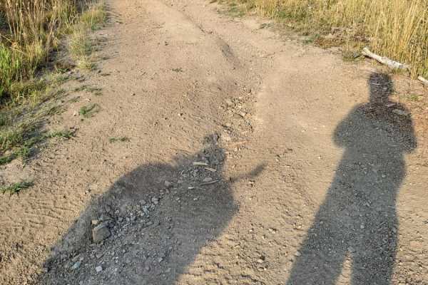
Little Wolf Creek Road
Little Wolf Creek Road is a scenic 14.9-mile point-to-point mountain trail near Wolf Creek, Montana, offering adventure motorcycle riders, high-clearance four-wheel-drive vehicles, and SxSs a moderately challenging climb through the Helena National Forest. Climbing from 3,790 feet to a peak of 5,949...
Learn more about Little Wolf Creek Road
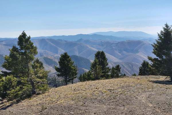
Owl Gulch Loop
This 3-mile loop connects the Favorite Gulch Trail via Owl Gulch to the Pipeline Trail and Pipeline Loop. Private property crossings are allowed if you stay on the trail. The scenery is spectacular, the forest is healthy and well-maintained, and the wildlife includes deer, elk, moose, and bears. You...
Learn more about Owl Gulch Loop
Magpie Upper
Magpie Upper is an approachable and scenic route perfect for novice offroaders, high-clearance four-wheel-drive vehicles, and SxSs looking to explore the beautiful Helena National Forest. Spanning approximately 1.0 mile, this easy trail serves as a seamless connection that navigates the upper sectio...
Learn more about Magpie Upper
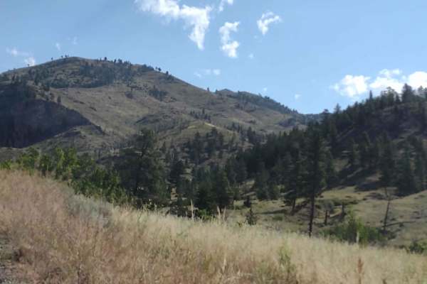
Magpie Gulch
Magpie Gulch is an ideal scenic route for beginner offroaders, scenic tourers, and families looking to explore the beautiful Helena National Forest with stunning views of Canyon Ferry Lake. This 7.5-mile point-to-point track connects the Magpie Ridge Trail to the Magpie Creek to Avalanche Creek Trai...
Learn more about Magpie Gulch
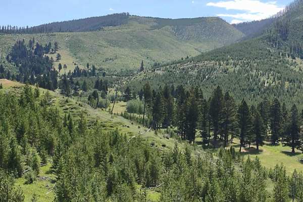
Sunshine Ridge
Sunshine Ridge is an easy, scenic trail perfect for beginners, families, and offroaders seeking stunning vistas of Canyon Ferry Lake and the surrounding valleys in the Helena National Forest. Stretching roughly 2.8 miles across the forest to a private property boundary, this route provides a relaxed...
Learn more about Sunshine Ridge
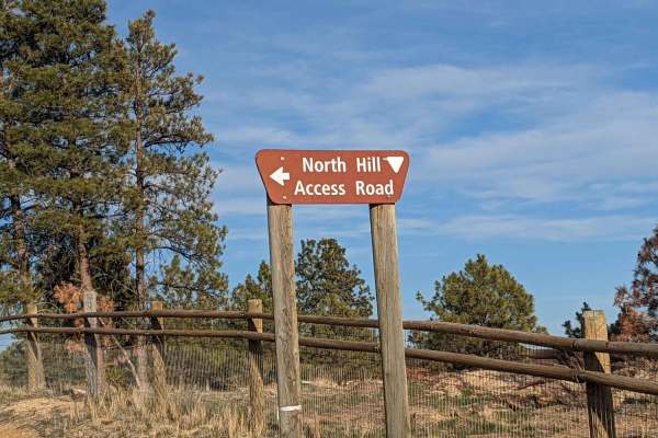
North Hills Recreation Area
The North Hills Recreation Area trail is a scenic, beginner-friendly route near Helena, Montana, offering gorgeous panoramic views of the surrounding valley and the distant Garnet Range. Stretching approximately 2.6 miles, this unpaved dirt road climbs gently to a maximum elevation of 4,658 feet fro...
Learn more about North Hills Recreation Area
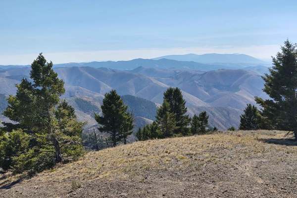
Hedges Mountain
This 3-mile RT track takes you to Hedges Mountain in the Helena National Forest at an elevation of 7131 feet. The scenery is spectacular, the forest is healthy and well-maintained, and the wildlife includes deer, elk, moose, and bears. All private property crossings are allowed if you stay on the tr...
Learn more about Hedges Mountain
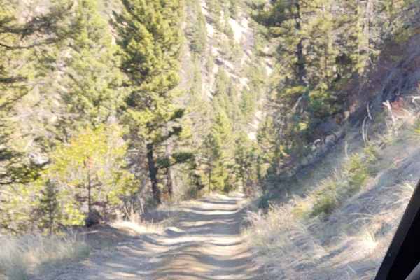
York Gulch
The York Gulch Trail connects York Road to Hedges Mountain, Oregon Gulch, Kingsberry Spur, and the Magpie Creek to Avalanche Creek Trails. You go from 3900 feet to just over 6200 feet in the Helena National Forest. The scenery is spectacular, the forest is healthy and well-maintained, and the wildli...
Learn more about York Gulch
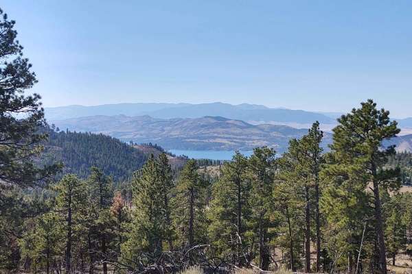
Nelson Road
Nelson Road offers a scenic and highly accessible offroad driving experience near Helena, Montana, making it perfect for beginners, families, and anyone hoping to spot local wildlife in a healthy, well-maintained forest. Spanning approximately 5.7 miles, this route climbs from an elevation of 3,983 ...
Learn more about Nelson Road
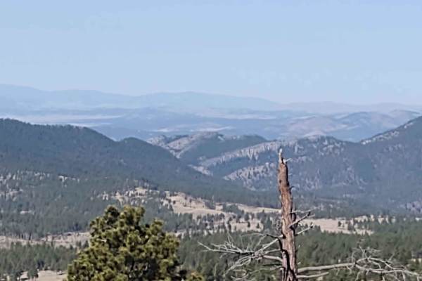
Oregon Gulch
This 5-mile trail connects Kingsbury Spur Trail to York Gulch Trail. You gain almost 2,000 feet in elevation, rising to 6,329 feet at the highest point. The scenery is spectacular, the forest is healthy and well-maintained, and the wildlife includes deer, elk, moose, and bears. All private property ...
Learn more about Oregon Gulch
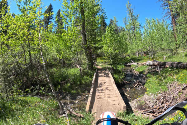
Center Ridge/North Fork Highwood Creek
This is an out-and-back ride, but you can connect several trails together to make loops. Rated a 5 on a 10 scale. A few creek crossings that are pretty easy to navigate. Mostly dirt single track with a few rocky sections. Some sections are narrow single track. Fun little ride close to Great Falls.
Learn more about Center Ridge/North Fork Highwood Creek
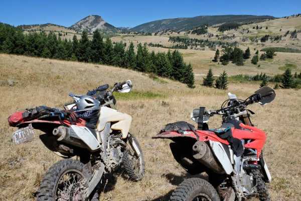
Ford Basin to Home/Lime Gulch
Don't forget your onX Offroad App for this trail that is not often travelled. It is very difficult to stay on the track without it. The route is short but sustained. Bring a chainsaw when attempting this route into mid summer because of the little traffic it sees. Some areas may see increased dif...
Learn more about Ford Basin to Home/Lime Gulch
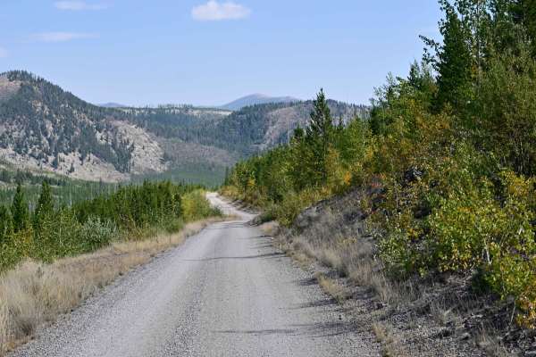
Copper Creek Road - FS 330
Copper Creek Road is an out-and-back, well-maintained Forest Service Road that leads to multiple points of interest, including the trailhead spur to Indian Meadows Trail/Indian Meadows campground and the Indian Meadows Guard station, which is available for rent in the winter months, catering mainly ...
Learn more about Copper Creek Road - FS 330
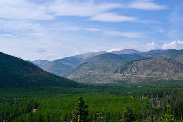
Indian Meadows
Indian Meadows is a hiking, camping, and equestrian destination area off Copper Creek Road. It's a multipurpose area that serves as a basecamp for local outfitters, trailhead parking for several hiking trails, and the Indian Meadows USFS guard station, which is available for rent via recreation.gov....
Learn more about Indian Meadows
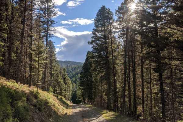
Magpie Creek to Avalanche Creek
Magpie Creek to Avalanche Creek is a scenic, moderately challenging loop in the Big Belt Mountains that is ideal for high-clearance four-wheel-drive vehicles and SxSs looking for scenic ridges and excellent dispersed camping. Starting from Highway 284, the trail begins as a wide, straightforward two...
Learn more about Magpie Creek to Avalanche Creek
ATV trails near Fair Haven Colony, Montana
Explore ATV-friendly trails near you. These trails are accessible for vehicles up to 50 inches wide, perfect for ATVs and smaller off-road machines.
St. Peters Mission
The Adel Mountains are a geologist's dream to experience. Filled with small laccoliths and dikes, this igneous complex dates to approximately 65 million years ago. The resulting topography is that of rolling hills, lush had meadow valleys, and prominent igneous ridges and buttes. A beautiful vista i...
Learn more about St. Peters Mission
Dead Man Gulch
Dead Man Gulch is a fast, flowy 5.1-mile dirt connector road linking Montana Highway 434 and U.S. Highway 287, offering a scenic and dirt-friendly alternative to pavement for adventure motorcycle riders, four-wheel-drive vehicles, and SxSs. Originally a rutted, eroded track, the route has been recen...
Learn more about Dead Man Gulch
Sun Canyon Road
This is a two-lane dirt road that gives you access to amazing views, campgrounds, ATV trails, hiking and packing trails, picnic sites, and ending at the amazing Gibson Reservoir. From the Gibson Reservoir, you can access the Bob Marshall Wilderness by foot, boot, or horse. This is a nice and easy dr...
Learn more about Sun Canyon Road
Beaver Creek - Indian Creek FS 138
This route on Forest Service Road 138 travels from Nelson, Montana, to the Indian Flats Forest Service Cabin along Indian Creek. The route has multiple dispersed camping sites along Beaver Creek and also higher up, closer to the Indian Flats Cabin. The route does pass through a parcel of private la...
Learn more about Beaver Creek - Indian Creek FS 138
UTV/side-by-side trails near Fair Haven Colony, Montana
Find UTV and side-by-side trails near you. These trails accommodate vehicles up to 60 inches wide, ideal for UTVs, side-by-sides, and wider off-road rigs.
St. Peters Mission
The Adel Mountains are a geologist's dream to experience. Filled with small laccoliths and dikes, this igneous complex dates to approximately 65 million years ago. The resulting topography is that of rolling hills, lush had meadow valleys, and prominent igneous ridges and buttes. A beautiful vista i...
Learn more about St. Peters Mission
Dead Man Gulch
Dead Man Gulch is a fast, flowy 5.1-mile dirt connector road linking Montana Highway 434 and U.S. Highway 287, offering a scenic and dirt-friendly alternative to pavement for adventure motorcycle riders, four-wheel-drive vehicles, and SxSs. Originally a rutted, eroded track, the route has been recen...
Learn more about Dead Man Gulch
Sun Canyon Road
This is a two-lane dirt road that gives you access to amazing views, campgrounds, ATV trails, hiking and packing trails, picnic sites, and ending at the amazing Gibson Reservoir. From the Gibson Reservoir, you can access the Bob Marshall Wilderness by foot, boot, or horse. This is a nice and easy dr...
Learn more about Sun Canyon Road
Beaver Creek - Indian Creek FS 138
This route on Forest Service Road 138 travels from Nelson, Montana, to the Indian Flats Forest Service Cabin along Indian Creek. The route has multiple dispersed camping sites along Beaver Creek and also higher up, closer to the Indian Flats Cabin. The route does pass through a parcel of private la...
Learn more about Beaver Creek - Indian Creek FS 138
The onX Offroad Difference
onX Offroad combines trail photos, descriptions, difficulty ratings, width restrictions, seasonality, and more in a user-friendly interface. Available on all devices, with offline access and full compatibility with CarPlay and Android Auto. Discover what you're missing today!
Open Trail Map