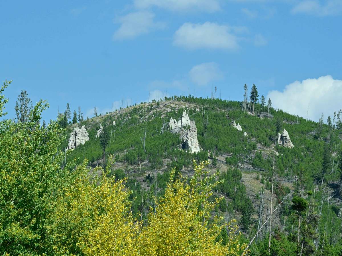
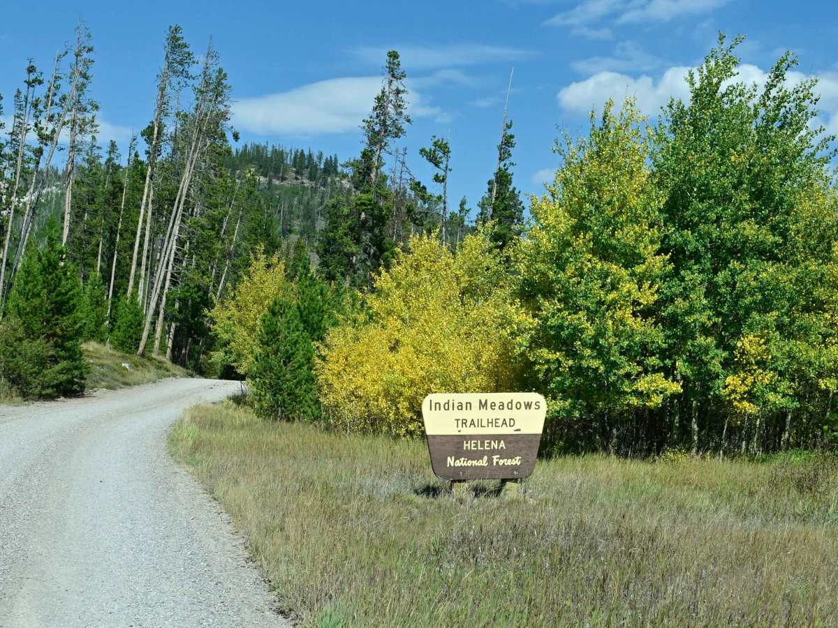
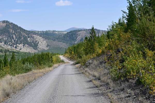
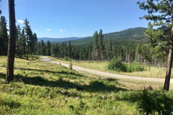
Trail Overview
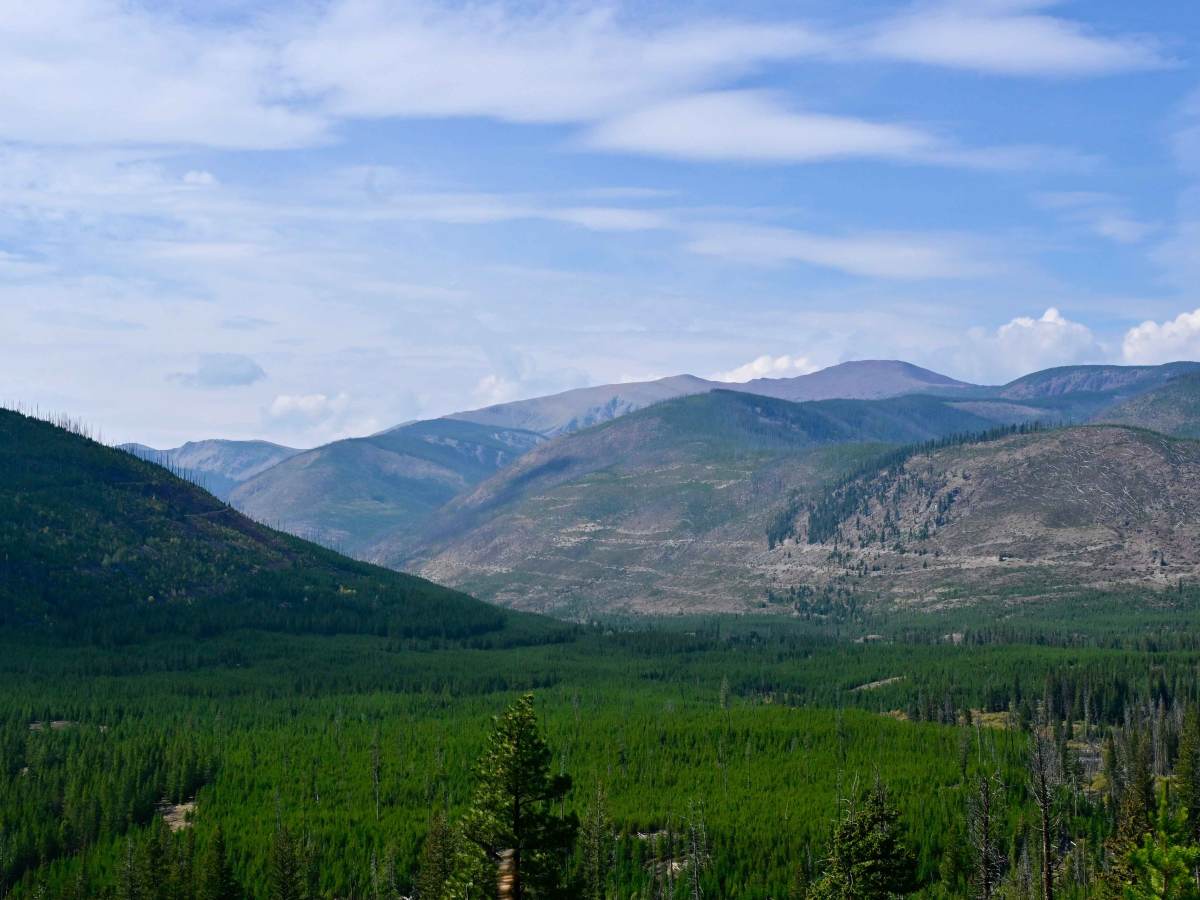
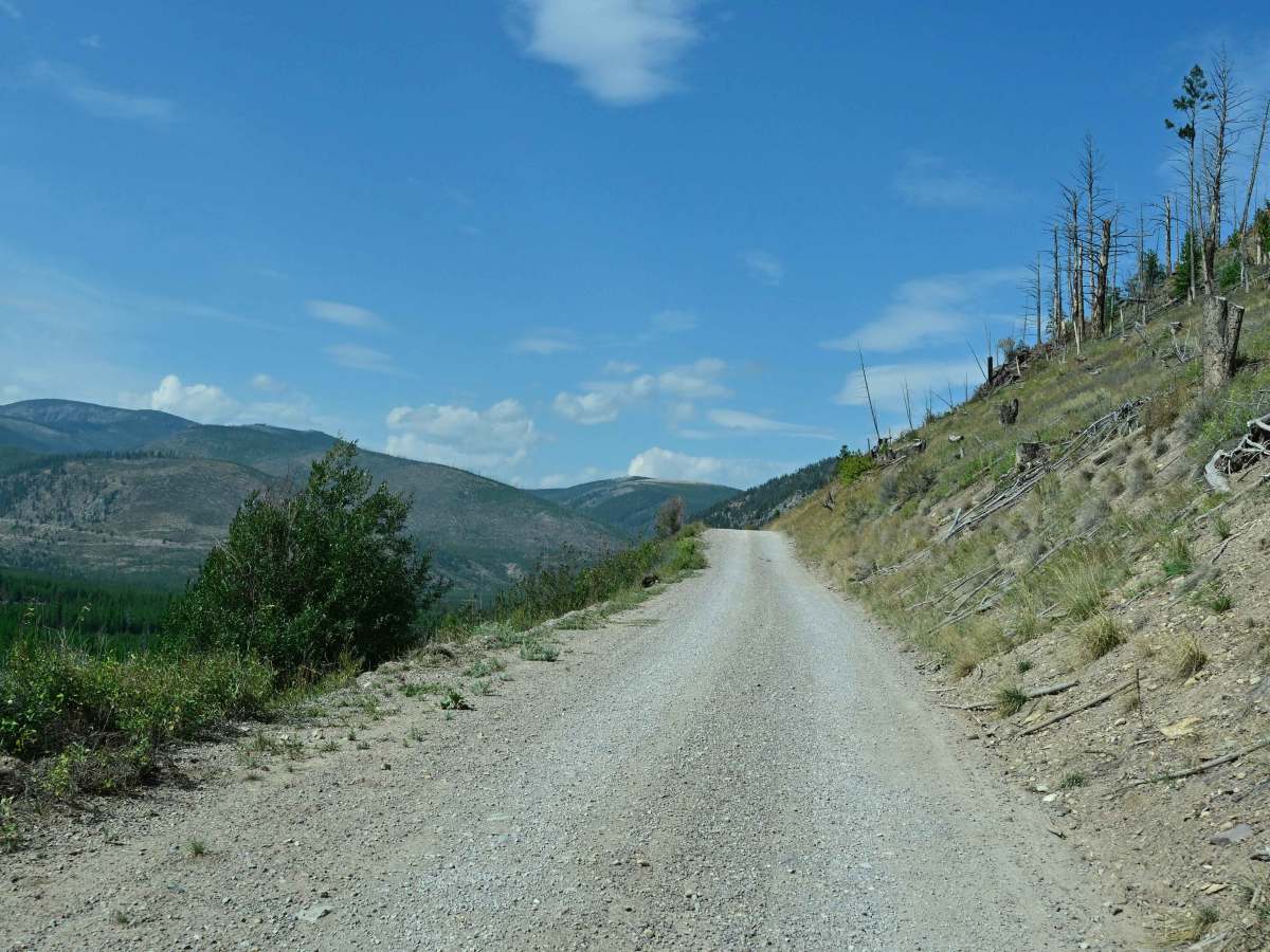
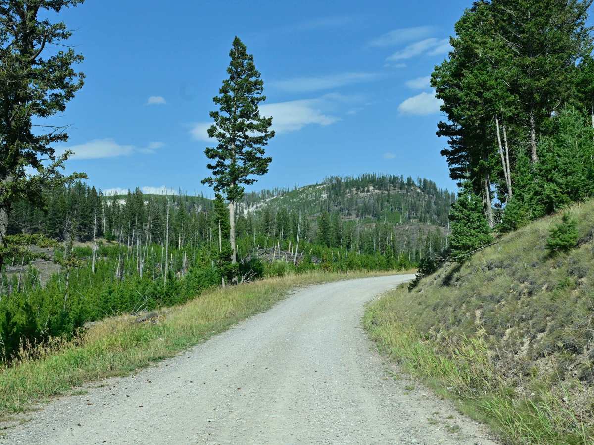
Indian Meadows is a hiking, camping, and equestrian destination area off Copper Creek Road. It's a multipurpose area that serves as a basecamp for local outfitters, trailhead parking for several hiking trails, and the Indian Meadows USFS guard station, which is available for rent via recreation.gov. The area, due to its altitude above the surrounding area, inspires a commanding view. The access to the area is generally well maintained, but is narrow with turnouts available if there is oncoming traffic. The camping area is geared more toward equestrian campers with tieouts, stock feeding, trailer parking, and vault toilets. Hiking trails go in a myriad of directions.
Difficulty
Rating due to its unmaintained nature, and the fact that it's a trail cut into a hillside, so be careful during inclement weather. Heavy snow accumulations and steep exposed slopes are common in this area. It is recommended that visitors be prepared for avalanche conditions if traversing in winter by obtaining avalanche training and safety equipment. USFS recommends that visitors bring a satellite communication device in case of an emergency, as cell service is erratic at best.
History
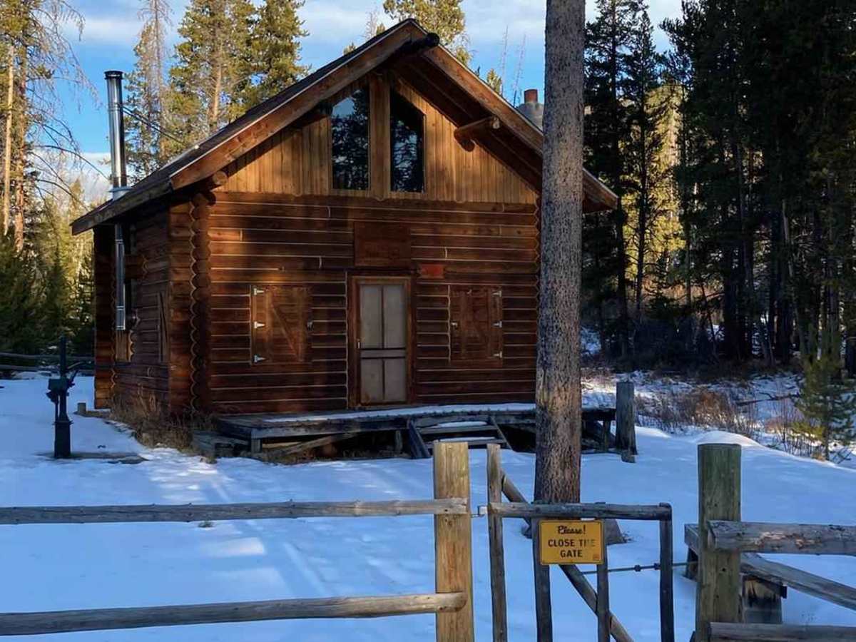
The Guard Station is a 2-story log cabin that was built in the 1990s. Forest Service Crews still use it in the summer months, and it is well-equipped with many of the basic necessities. There are two sets of bunkbeds and two single beds located in the upstairs loft, but guests should plan to bring in bedding or a sleeping bag. Some blankets and pillows are provided. A propane stove and lights are available for use.