
Dirt Bike Trails
Near Ely, Minnesota
Explore All Dirt Bike Trails Near Ely, Minnesota
Dirt Bike Trails Near Ely, Minnesota
Discover the best dirt bike trails near you. Browse trail maps, check difficulty ratings, and find your next adventure — whether you're looking for a quick ride or an all-day expedition.
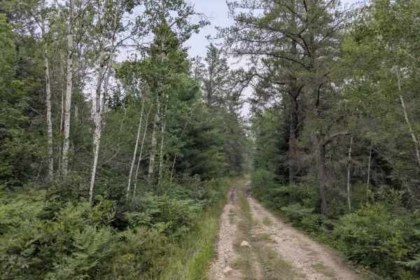
Muckawa
This trail begins with a rough, rocky surface and continues as a narrow two-track winding through scenic forest. It features a series of ascents and descents and is composed of a mix of gravel and exposed rock. Vegetation is dense throughout much of the route, and overgrowth along the trail makes pi...
Learn more about Muckawa
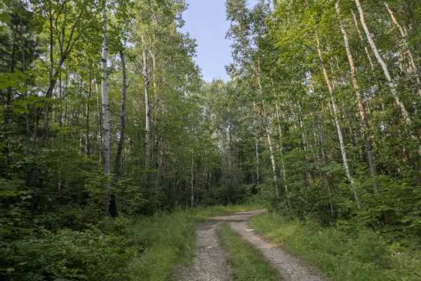
FS 451A
This trail, also known as the Bear Run Trail, is accessed from Route 451 and begins as a mostly smooth gravel road with a few gentle ascents and descents. As you travel farther in, the terrain changes noticeably—becoming narrower, rockier, and more uneven. The trail transitions into a rugged two-tra...
Learn more about FS 451A
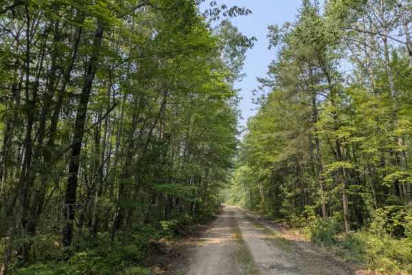
High Lake Road
This trail is accessed from the paved section of the Echo Trail and begins near a well-maintained campground that features large, private sites along with water access, toilets, and a log shelter. This trail winds through a forested landscape with steady ascents and descents. The surface is mostly r...
Learn more about High Lake Road
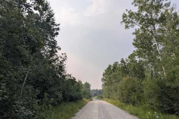
FS 1036
This trail begins as a wide gravel road that passes several residences near the starting point. As the trail continues, it gradually narrows and becomes noticeably rougher. Despite its proximity to homes, the surface is often muddy, with sections of loose gravel, embedded rocks, and standing puddles...
Learn more about FS 1036
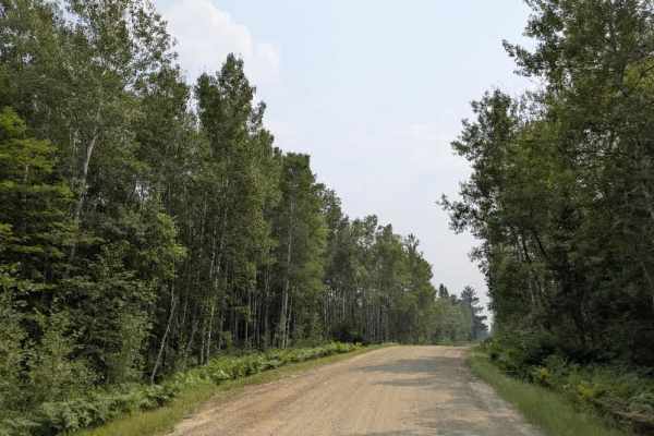
County Road 403
This forest trail is accessed from Highway 1 and begins as a well-maintained gravel road. It winds through wooded terrain with a series of gentle ascents and descents, offering a straightforward drive. Local traffic is common along this route, so it’s best to proceed with caution, especially around ...
Learn more about County Road 403
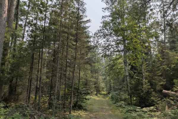
FH7
This scenic off-road trail begins as a relatively smooth two-track with a designated parking area at the trailhead, making it convenient for unloading ATVs and side-by-sides. These types of vehicles are best suited to navigate the terrain ahead. As the trail progresses, it becomes increasingly narro...
Learn more about FH7
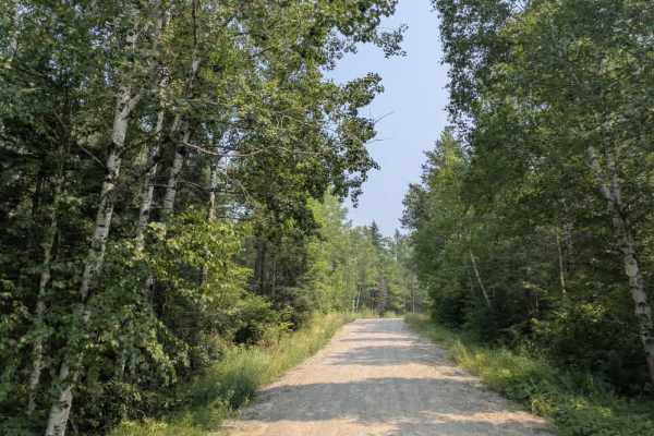
FS 459
This trail follows a well-maintained gravel road that is mostly smooth, with occasional corrugations. It winds through a wooded landscape with several ascents and descents, some of which are noticeably steep. Along the route, the trail passes a scenic lake and an open meadow, adding to the natural a...
Learn more about FS 459
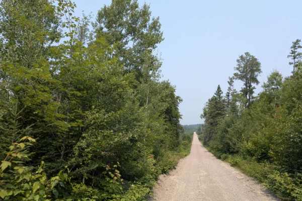
Low Lake
This trail is a well-maintained gravel road that is mostly smooth, though some sections have light corrugation. It winds through forested terrain with a mix of gentle and occasionally steep ascents and descents. The route leads to Mudrow Lake, a popular destination for canoeists, especially during p...
Learn more about Low Lake
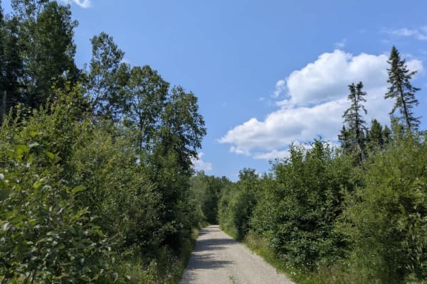
Inco
This trail begins off Highway 1 and is marked by a sign warning drivers to be cautious of heavy equipment. The initial section is relatively wide with a surface of fine gravel, winding through a combination of forested areas and open clearings. Signs of logging activity are visible along the route, ...
Learn more about Inco
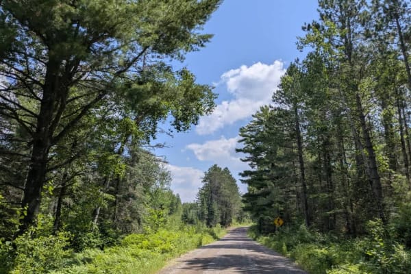
Spruce
This trail is accessed directly from Highway 1 and begins as a wide, well-maintained gravel road. Due to frequent use by residents, an outdoor school, and recreational traffic, the surface is heavily corrugated in places. Several side trails branch off from the main route, including snowmobile trail...
Learn more about Spruce
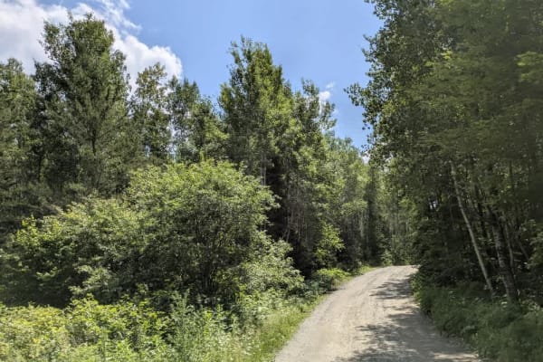
Birch Lake Access Road
This trail winds its way through a forested area and features a rough, rocky surface with sections of heavy corrugation. A nearby quarry contributes to the uneven terrain, and drivers can expect a series of moderate ascents and descents along the route. Large puddles often form in the lower sections...
Learn more about Birch Lake Access Road
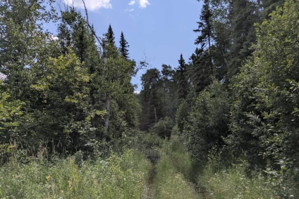
1902
This unmaintained trail is made up of gravel and rock and winds through dense forest, with a mix of moderate ascents and descents. Vegetation crowds the narrow path, making pinstriping likely for any vehicle navigating the route. The surface is rough, with numerous rocks and wet patches, particularl...
Learn more about 1902
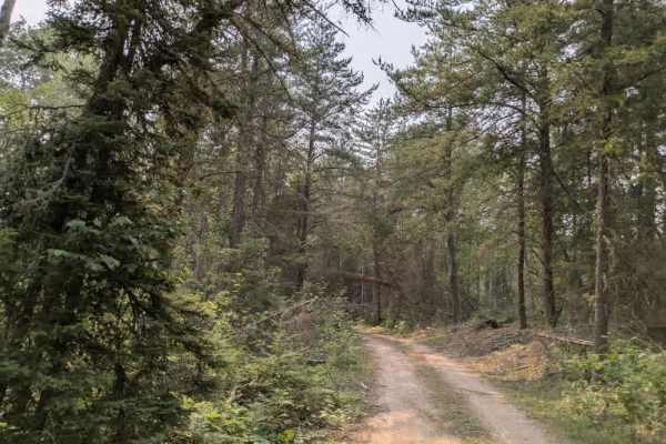
Whisper Lake
This trail begins as a rocky and uneven two-track that winds through dense forest, featuring a series of ascents and descents along its route. It is well-used by local ATV and side-by-side riders, and its popularity is due in part to the presence of several dispersed campsites scattered along the wa...
Learn more about Whisper Lake
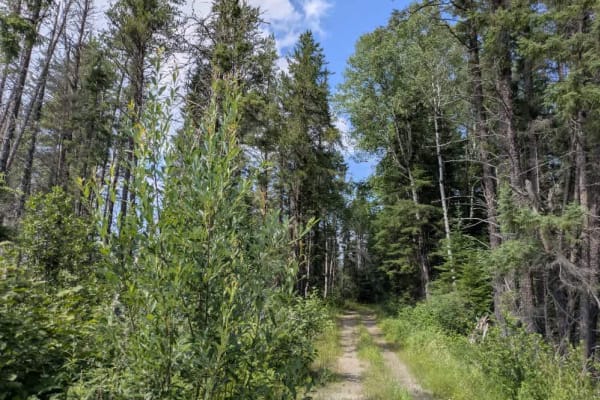
Keeley Creek
This trail offers one of the more scenic routes within the Superior National Forest, beginning from New Tomahawk Trail and quickly crossing the Stony Spur ATV Trail. Not far from the start, it skirts a small lake that has been dammed by a beaver, which was actively working on its construction during...
Learn more about Keeley Creek
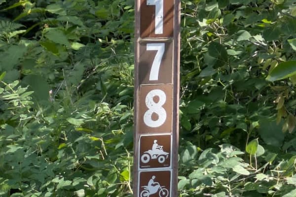
Stony River Trail
This scenic trail begins off New Tomahawk Trail and winds through forested terrain along a surface made up of both fine and coarse gravel. The route is generally well maintained and passes a single residence near its starting point. For most of its length, the trail is single-lane with a series of m...
Learn more about Stony River Trail
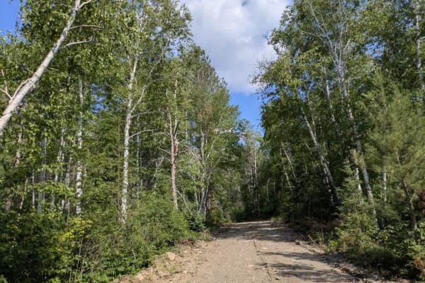
Denley Lake Spur E
This trail begins off New Tomahawk Trail and intersects with the Stony Spur ATV trail early on. Initially, it follows a logging road that is mostly smooth but includes occasional rocks and potholes. As the trail progresses, it narrows into a two-track path that winds through dense forest. Along this...
Learn more about Denley Lake Spur E
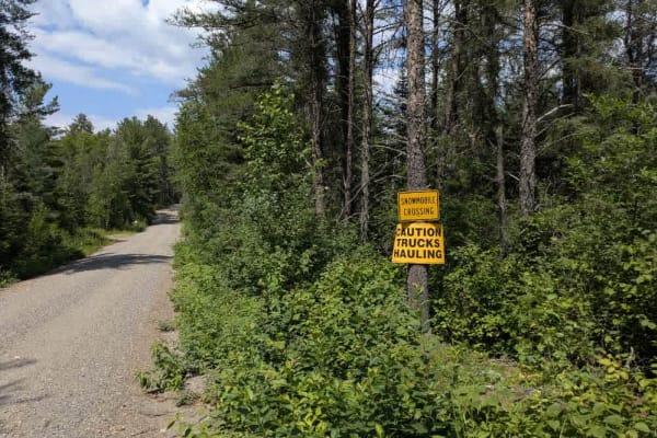
Denley Creek
This trail is a narrow, mostly maintained route that winds through dense forest and features a series of ascents and descents. While generally passable, the surface is rough and rocky in several sections, requiring careful navigation. At the beginning of the trail, there is a cleared quarry site tha...
Learn more about Denley Creek
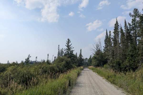
Murray Road
This off-road trail, designated for ATV, SXS, and highway-legal vehicles, begins just off Highway 1 and follows a wide, well-maintained gravel route through dense forest. The initial section of the trail is broad and smooth, winding gently until it intersects a private road marked clearly with a sto...
Learn more about Murray Road
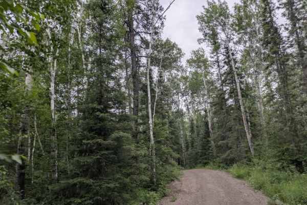
Snake River Spur E
This trail is accessed from Tomahawk Spur E and quickly narrows, beginning with a steep, rocky climb. A creek runs alongside parts of the route, and several branches and overgrowth are encroaching on the trail, making it appear wider than it actually is. In places, the edge of the trail drops off to...
Learn more about Snake River Spur E
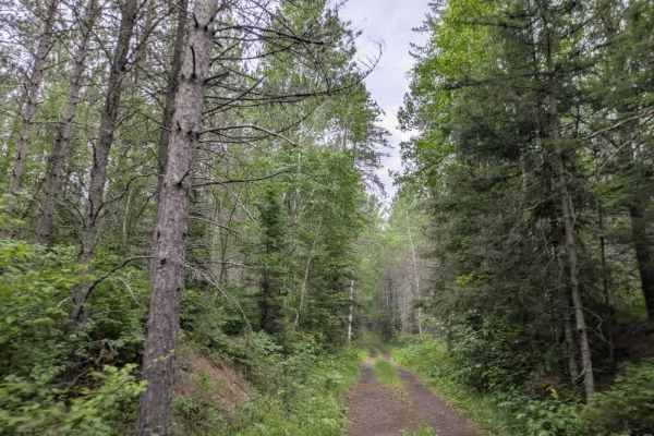
August Creek
This trail is divided into two distinct sections. The first half is accessed from Tomahawk Trail and follows a wide gravel path that winds through the forest with gentle ascents and descents. This portion is well-traveled, likely due to its connection with a more popular segment of the Prospectors T...
Learn more about August Creek
ATV trails near Ely, Minnesota
Explore ATV-friendly trails near you. These trails are accessible for vehicles up to 50 inches wide, perfect for ATVs and smaller off-road machines.
Muckawa
This trail begins with a rough, rocky surface and continues as a narrow two-track winding through scenic forest. It features a series of ascents and descents and is composed of a mix of gravel and exposed rock. Vegetation is dense throughout much of the route, and overgrowth along the trail makes pi...
Learn more about Muckawa
FS 451A
This trail, also known as the Bear Run Trail, is accessed from Route 451 and begins as a mostly smooth gravel road with a few gentle ascents and descents. As you travel farther in, the terrain changes noticeably—becoming narrower, rockier, and more uneven. The trail transitions into a rugged two-tra...
Learn more about FS 451A
High Lake Road
This trail is accessed from the paved section of the Echo Trail and begins near a well-maintained campground that features large, private sites along with water access, toilets, and a log shelter. This trail winds through a forested landscape with steady ascents and descents. The surface is mostly r...
Learn more about High Lake Road
FS 1036
This trail begins as a wide gravel road that passes several residences near the starting point. As the trail continues, it gradually narrows and becomes noticeably rougher. Despite its proximity to homes, the surface is often muddy, with sections of loose gravel, embedded rocks, and standing puddles...
Learn more about FS 1036
UTV/side-by-side trails near Ely, Minnesota
Find UTV and side-by-side trails near you. These trails accommodate vehicles up to 60 inches wide, ideal for UTVs, side-by-sides, and wider off-road rigs.
Muckawa
This trail begins with a rough, rocky surface and continues as a narrow two-track winding through scenic forest. It features a series of ascents and descents and is composed of a mix of gravel and exposed rock. Vegetation is dense throughout much of the route, and overgrowth along the trail makes pi...
Learn more about Muckawa
FS 451A
This trail, also known as the Bear Run Trail, is accessed from Route 451 and begins as a mostly smooth gravel road with a few gentle ascents and descents. As you travel farther in, the terrain changes noticeably—becoming narrower, rockier, and more uneven. The trail transitions into a rugged two-tra...
Learn more about FS 451A
High Lake Road
This trail is accessed from the paved section of the Echo Trail and begins near a well-maintained campground that features large, private sites along with water access, toilets, and a log shelter. This trail winds through a forested landscape with steady ascents and descents. The surface is mostly r...
Learn more about High Lake Road
FS 1036
This trail begins as a wide gravel road that passes several residences near the starting point. As the trail continues, it gradually narrows and becomes noticeably rougher. Despite its proximity to homes, the surface is often muddy, with sections of loose gravel, embedded rocks, and standing puddles...
Learn more about FS 1036
The onX Offroad Difference
onX Offroad combines trail photos, descriptions, difficulty ratings, width restrictions, seasonality, and more in a user-friendly interface. Available on all devices, with offline access and full compatibility with CarPlay and Android Auto. Discover what you're missing today!
Open Trail Map