Trail Overview
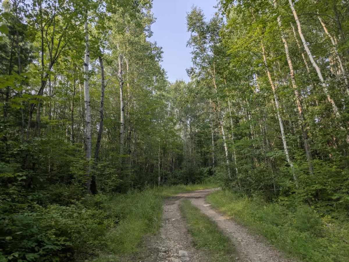
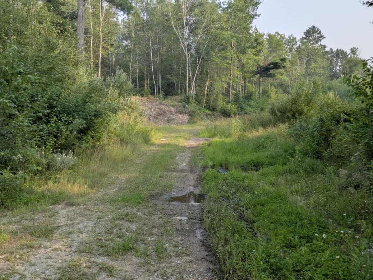
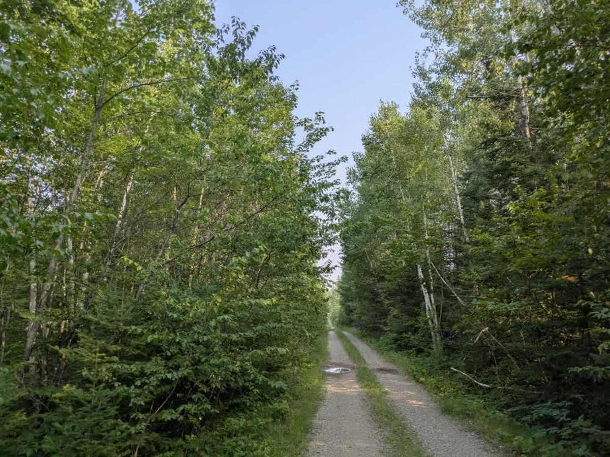
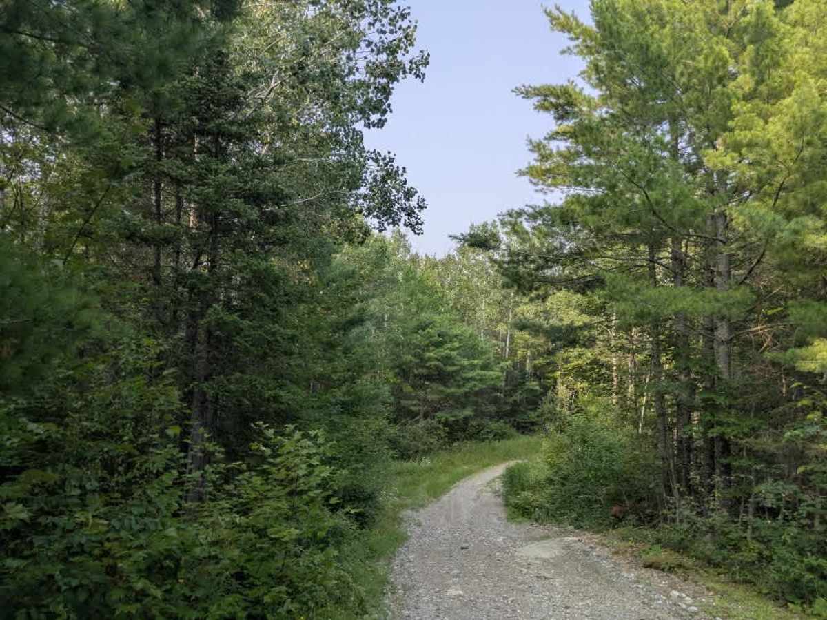
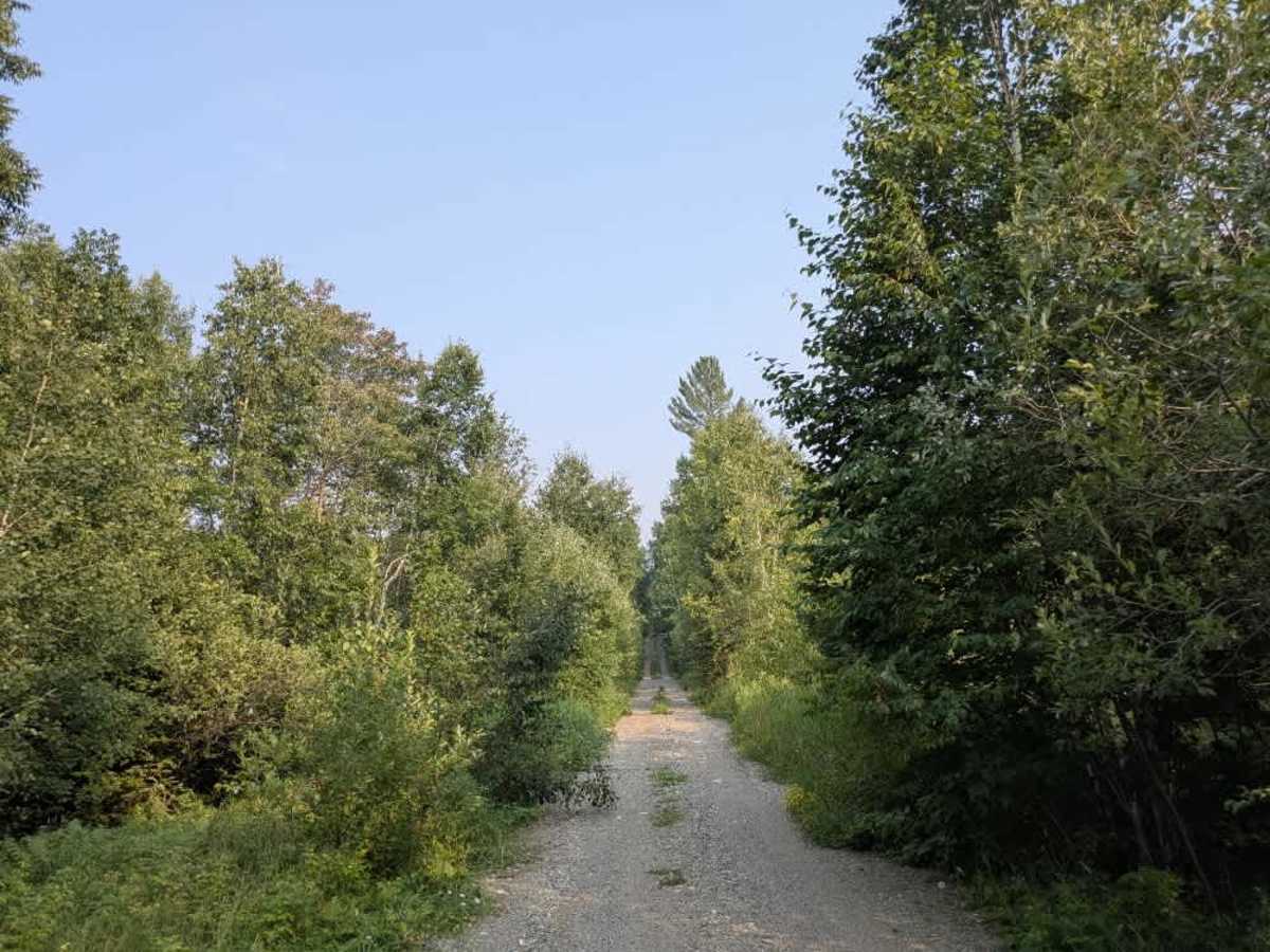
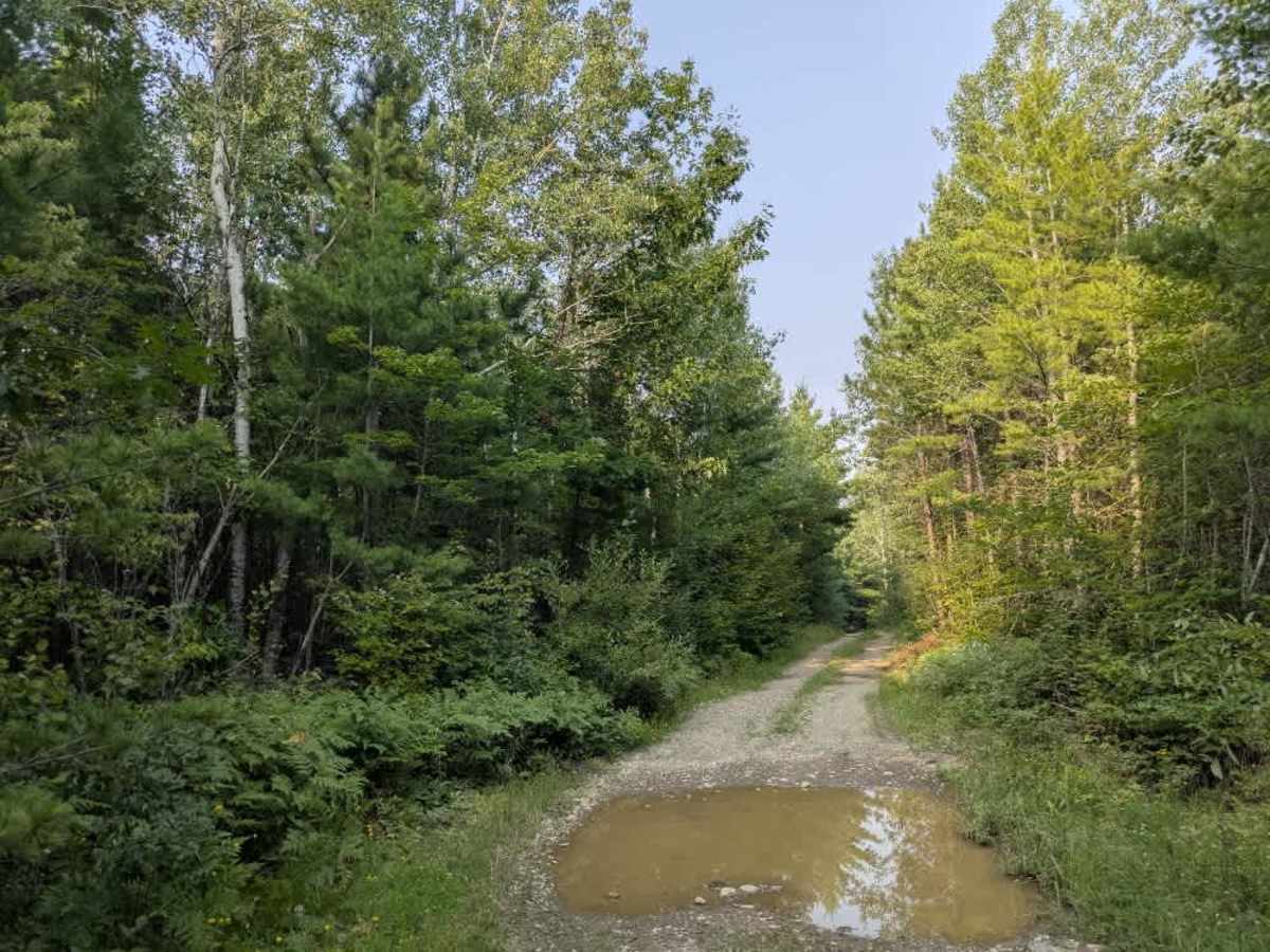
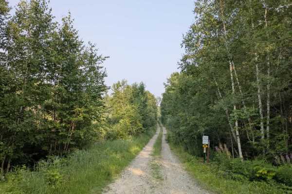
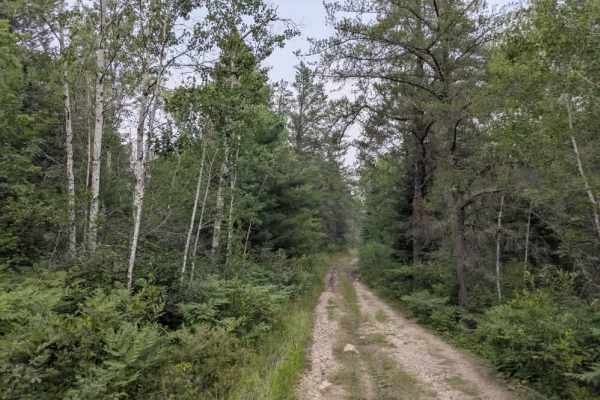
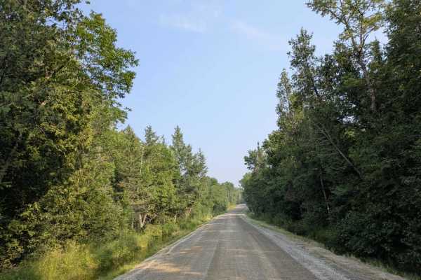
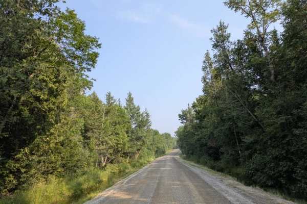
This trail, also known as the Bear Run Trail, is accessed from Route 451 and begins as a mostly smooth gravel road with a few gentle ascents and descents. As you travel farther in, the terrain changes noticeably—becoming narrower, rockier, and more uneven. The trail transitions into a rugged two-track that winds through dense forest, with several steeper climbs and descents along the way. There are also muddy stretches and large standing puddles in the lower sections, particularly after rainfall. While the trail becomes increasingly rough, there are a few suitable spots to turn around if needed. The route ends at a yellow ATV gate, beyond which larger vehicles are not permitted. Near this gate is a small clearing that may be appropriate for dispersed camping, though it is not an official site. The trail offers no developed amenities such as trash disposal or a water source, and cell reception may be unreliable or absent in this area.
Difficulty
This forested route is lightly maintained and typically sees use during peak seasons. Expect occasional fallen limbs, narrowing sections from plant growth, and minor obstacles.
History
The Taconite State Trail is a scenic 165-mile route in northeastern Minnesota, stretching from Grand Rapids to Ely. Primarily used for snowmobiling in winter, it also accommodates activities like hiking, horseback riding, and mountain biking during the warmer months. The trail traverses diverse landscapes, including forests of birch, aspen, and pine, leading adventurers past remote lakes, bogs, and streams. Notably, it intersects with the Arrowhead State Trail west of Lake Vermilion, offering connections to other regional trails