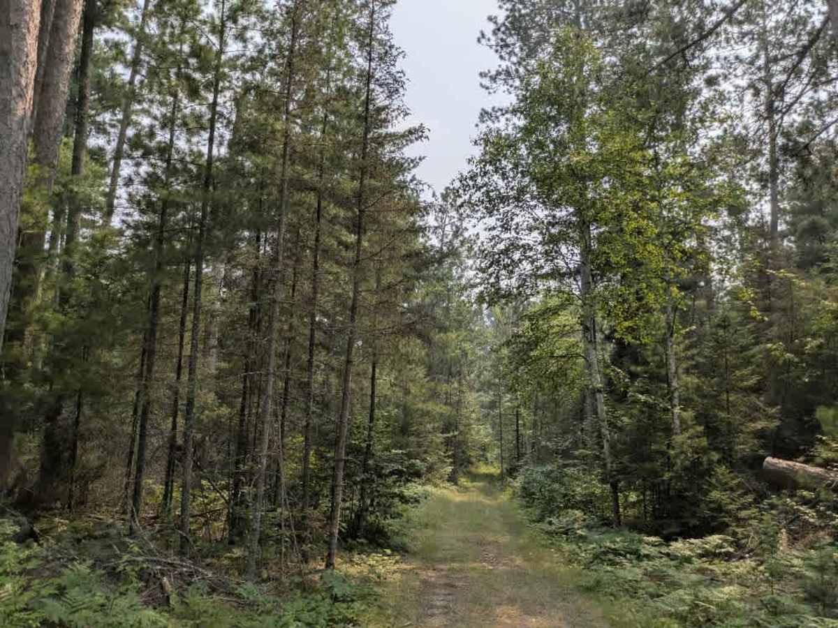
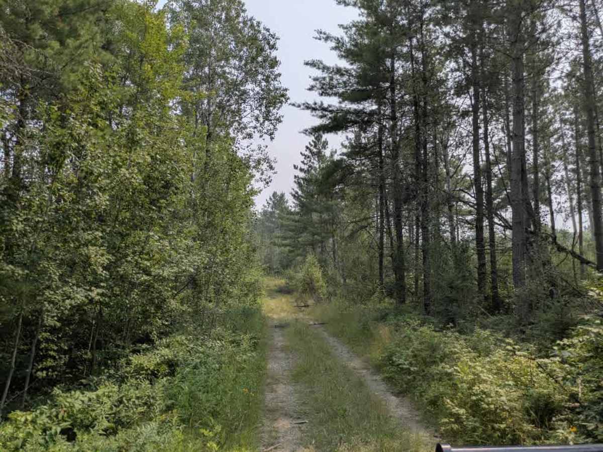
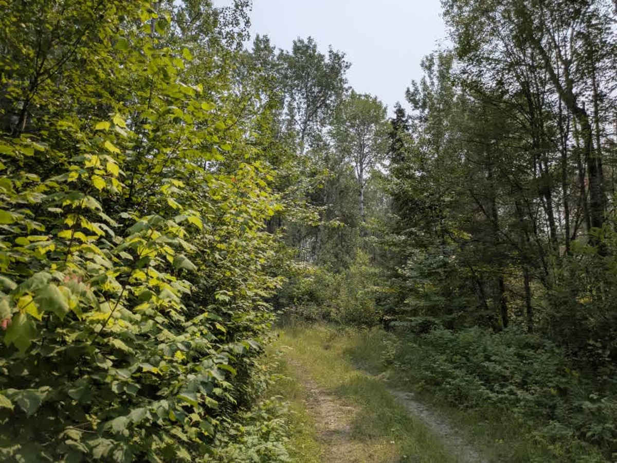
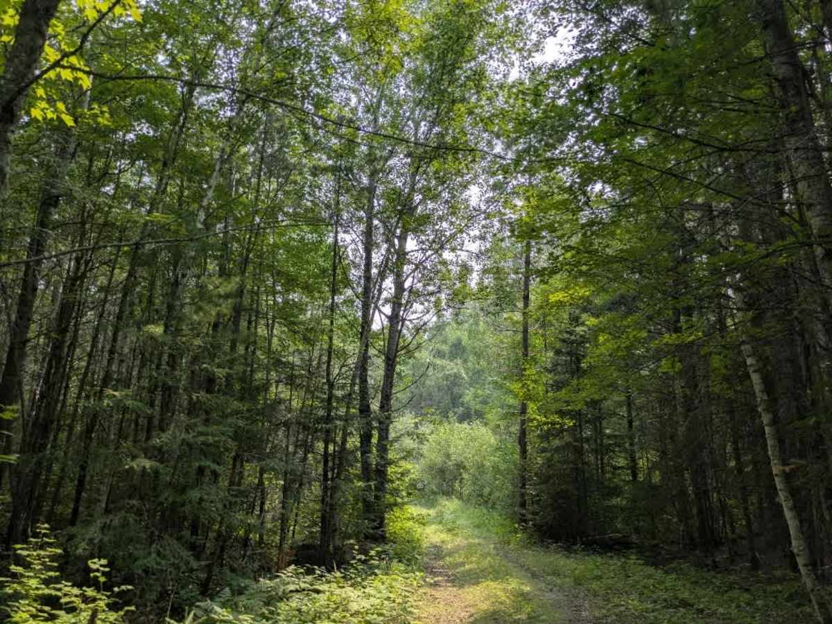
Trail Overview
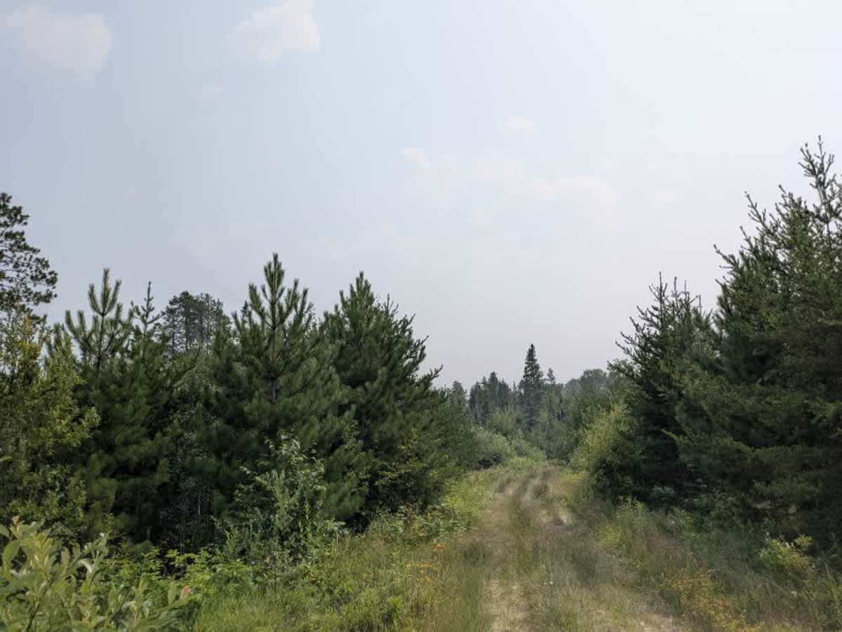
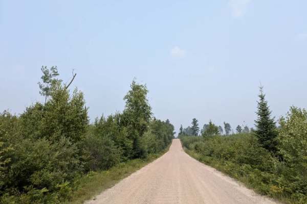
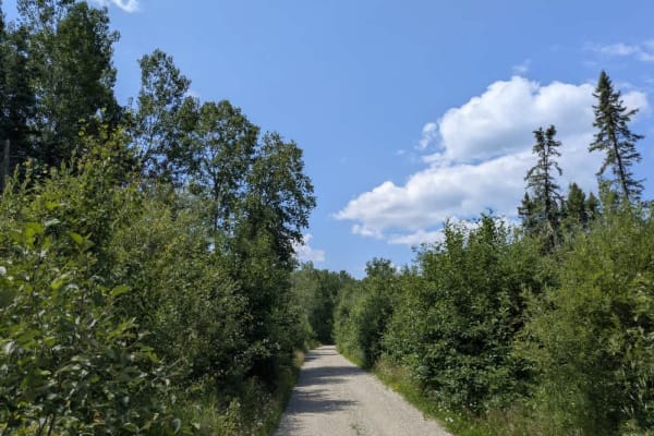
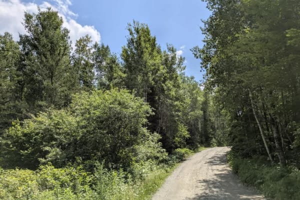
This scenic off-road trail begins as a relatively smooth two-track with a designated parking area at the trailhead, making it convenient for unloading ATVs and side-by-sides. These types of vehicles are best suited to navigate the terrain ahead. As the trail progresses, it becomes increasingly narrow, with frequent bumps, rocks, and overgrown vegetation. Low-hanging branches and dense brush make pinstriping unavoidable. The route features a series of ascents and descents, several muddy patches, and small creeks that must be crossed. In some sections, the trail effectively merges with the creek bed, adding to the technical nature of the drive. Wildlife such as moose and bear are known to frequent the area, so caution is advised. Toward the end, the trail becomes even tighter, eventually narrowing between two large trees and continuing as an ATV-only path. A side spur leads to a lake and river, but is extremely narrow and rough. Pollen from overhanging trees may be an irritant, especially when brushing against vegetation. There are no formal campsites along the trail, and no amenities such as water or trash disposal. Cell phone service may be limited or unavailable throughout the area.
Difficulty
This trail has not been maintained and is rarely used. Expect overgrowth, downed trees, and dense underbrush in areas. Travel is slow with backcountry obstacles.