Trail Overview
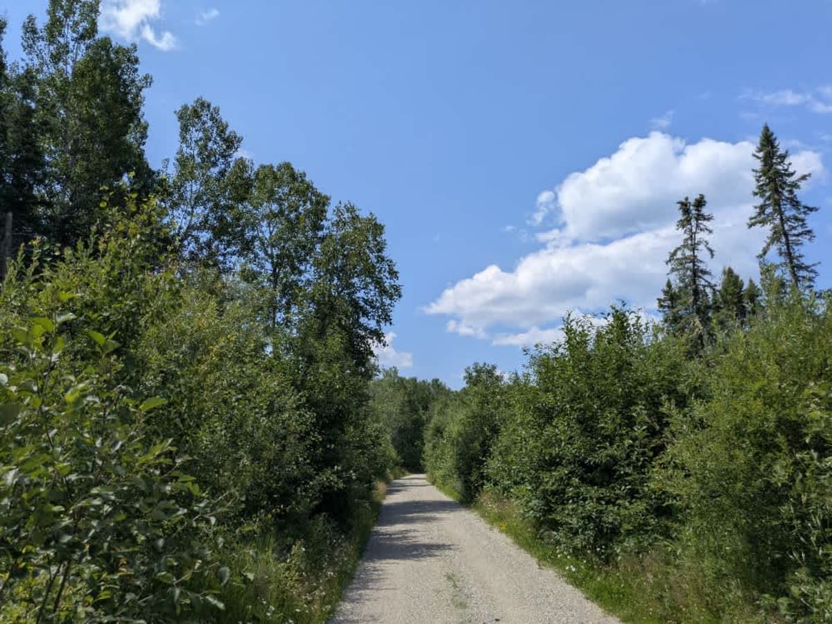
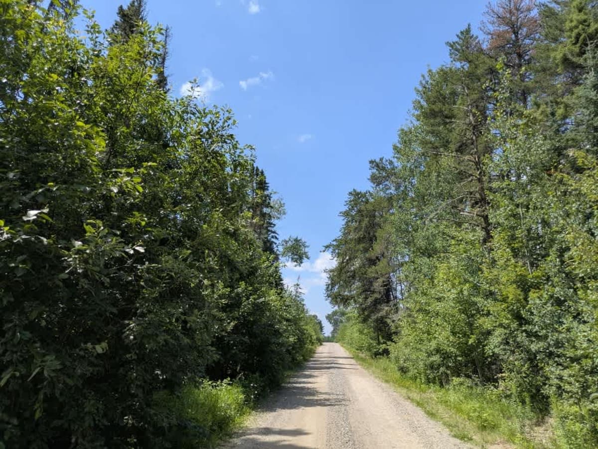
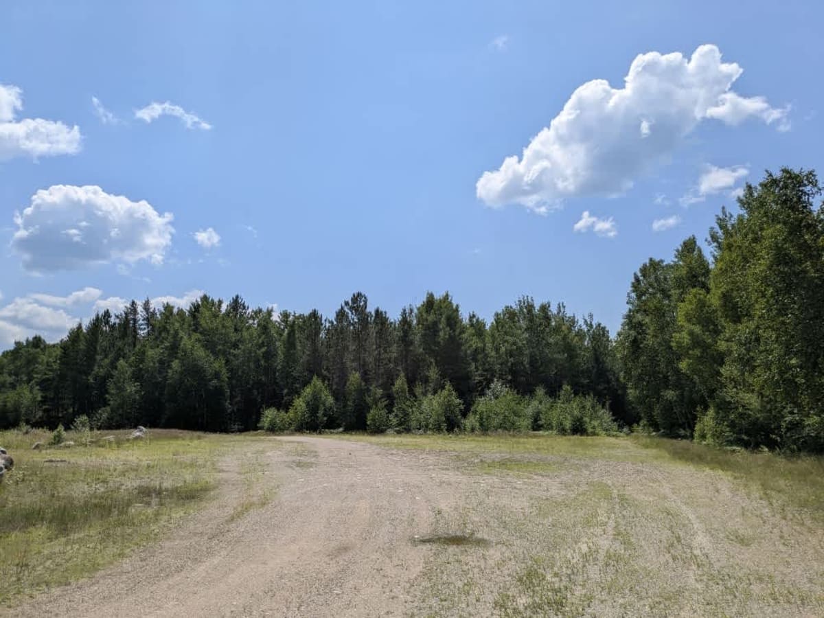
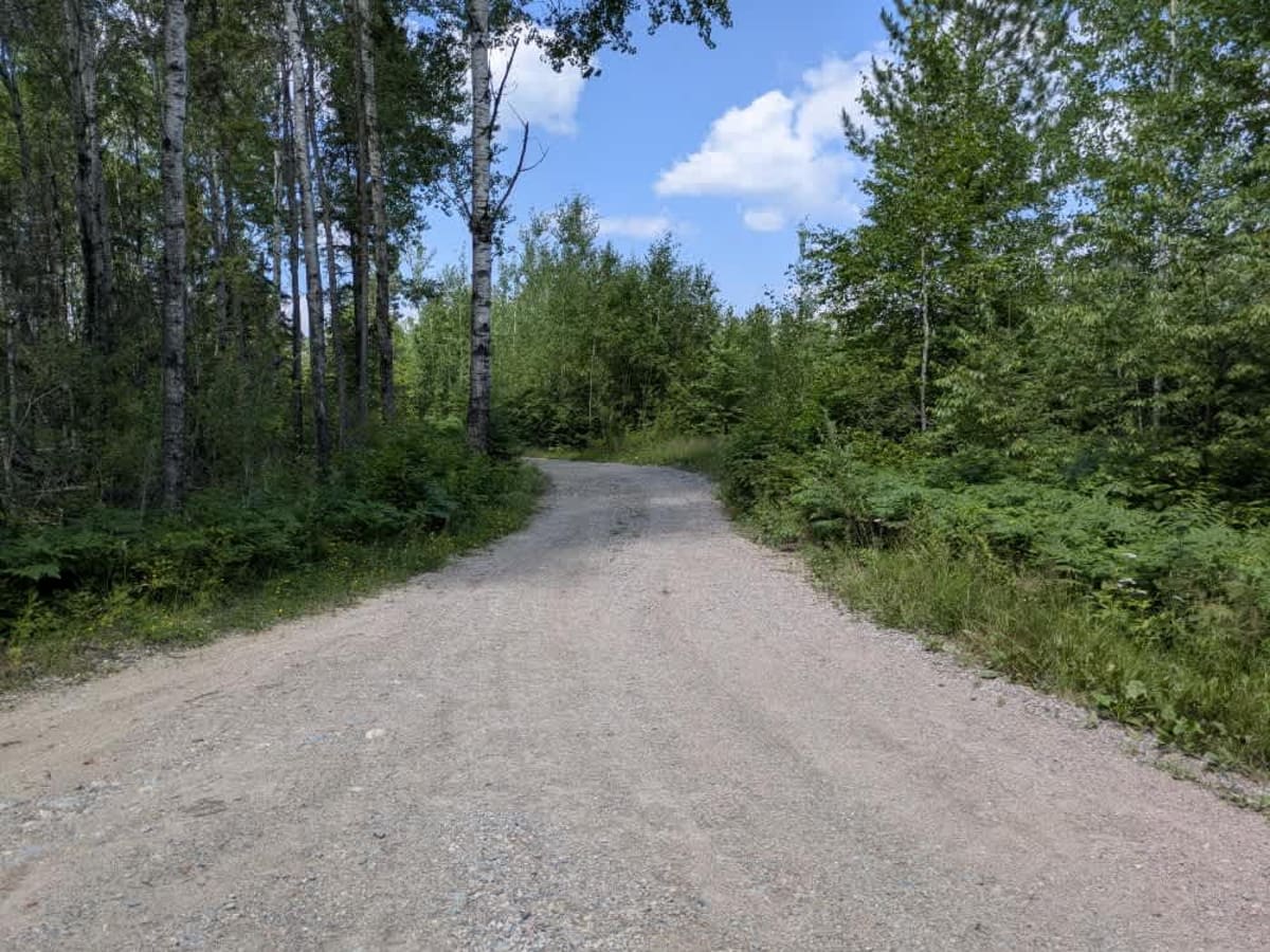
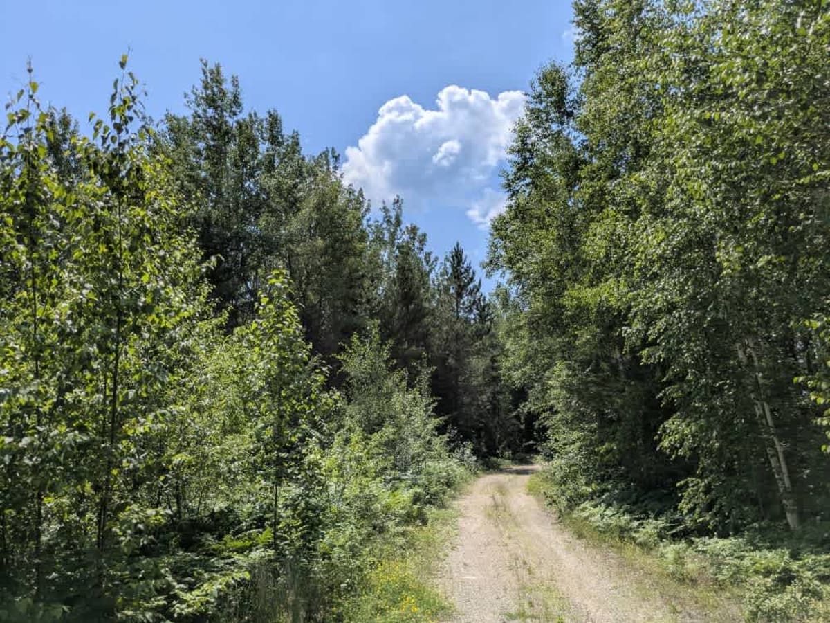
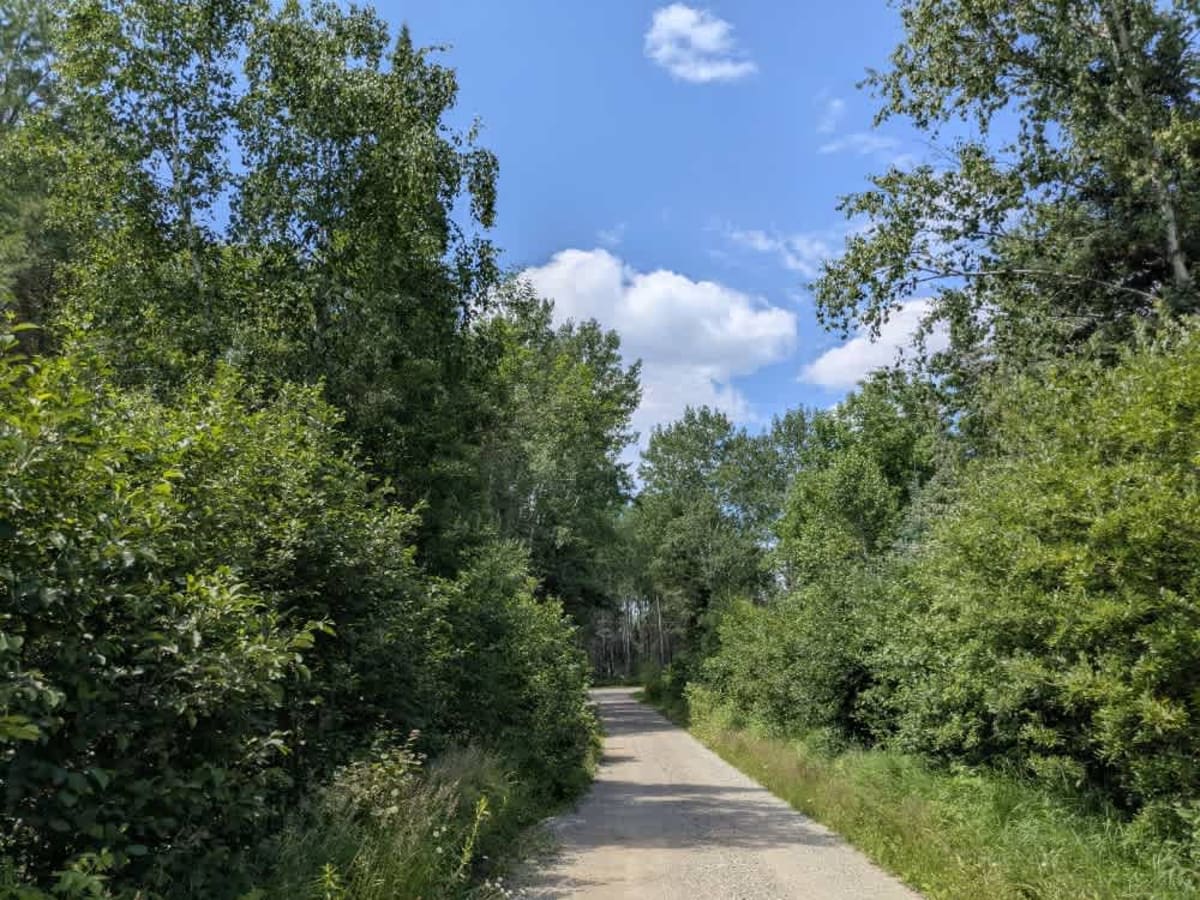
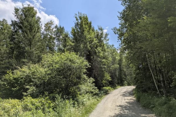
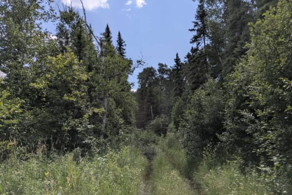
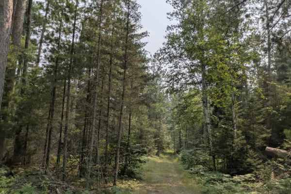
This trail begins off Highway 1 and is marked by a sign warning drivers to be cautious of heavy equipment. The initial section is relatively wide with a surface of fine gravel, winding through a combination of forested areas and open clearings. Signs of logging activity are visible along the route, particularly in the more open sections. As the trail progresses, it arrives at an intersection, where there is a small parking area to the right. From this point, the trail narrows and becomes rougher underfoot, with noticeable rocky stretches and moderate ascents and descents. Further along, the trail passes another intersection before reaching a large open clearing that offers space for parking. This spot could serve as a convenient place for a quick overnight stay or a lunch break. Beyond the clearing, the trail becomes increasingly overgrown and eventually ends at a locked gate with signage indicating that the federal land beyond is open to non-motorized public access. There are no formal campsites or amenities along this route, and travelers should not expect trash disposal, potable water, or reliable cell service.
Difficulty
The beginning of the trail is maintained and used regularly, but after the clearing, the trail becomes increasingly overgrown and eventually ends at a locked gate with no access to motorized vehicles.