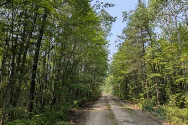
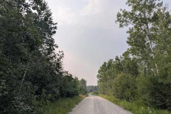
Trail Overview
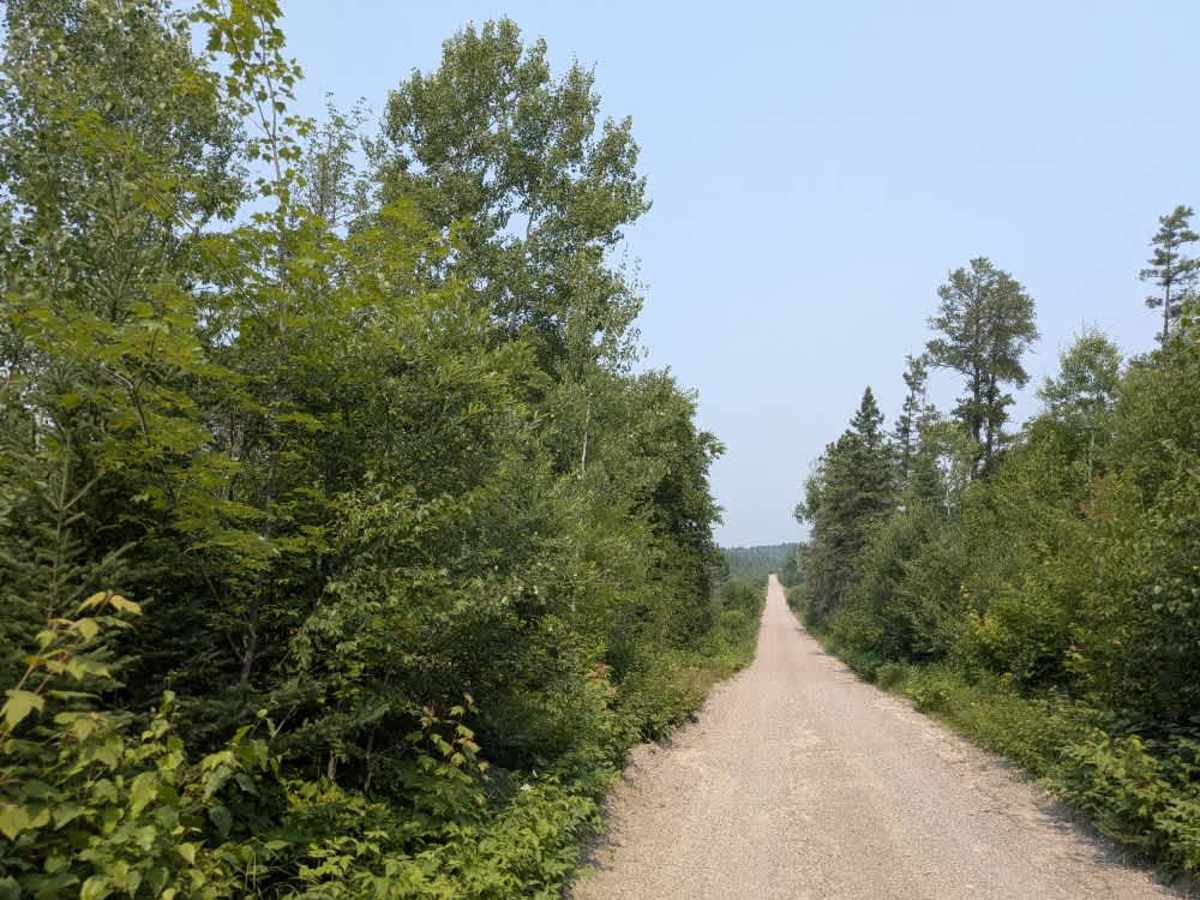
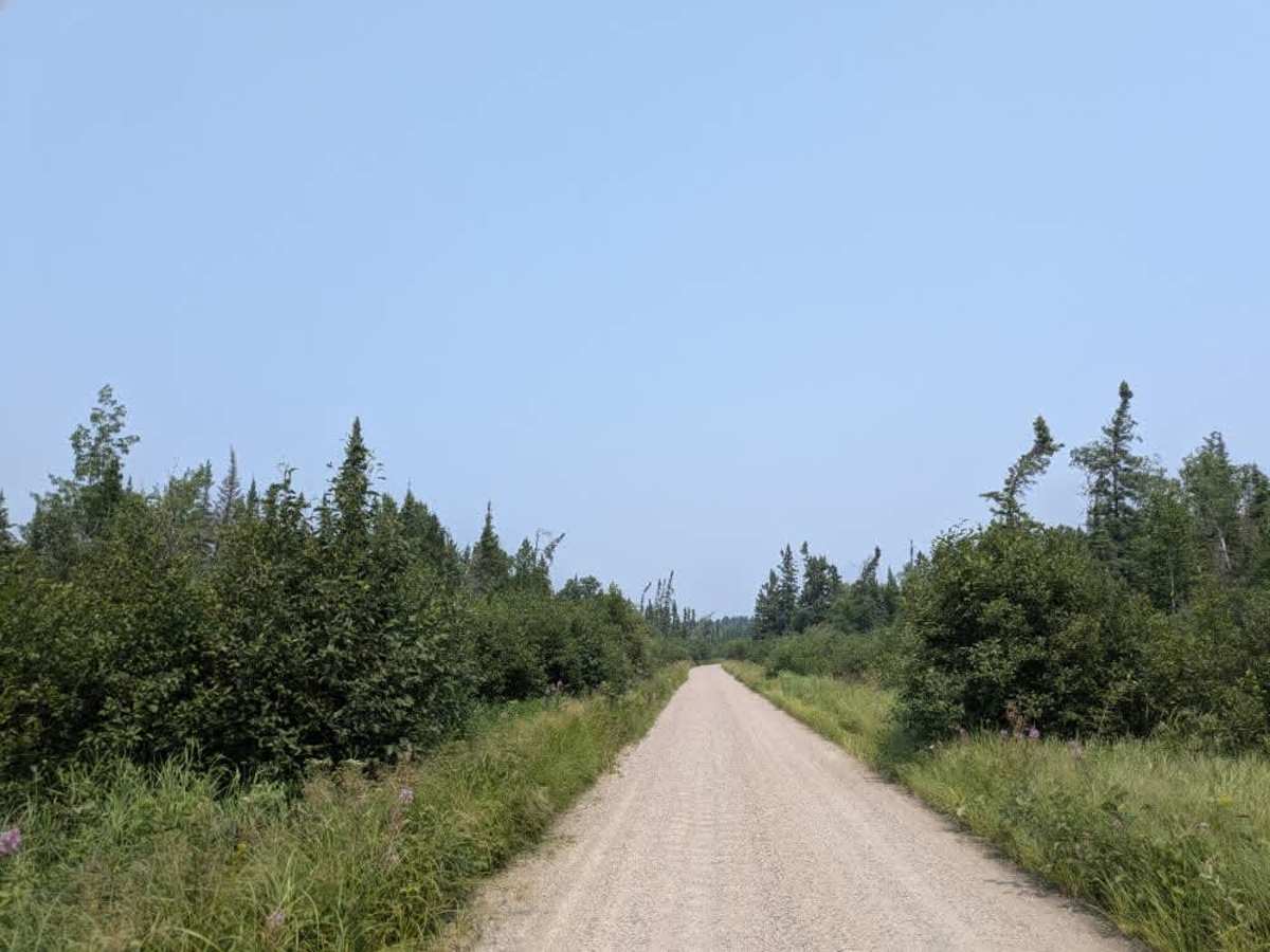
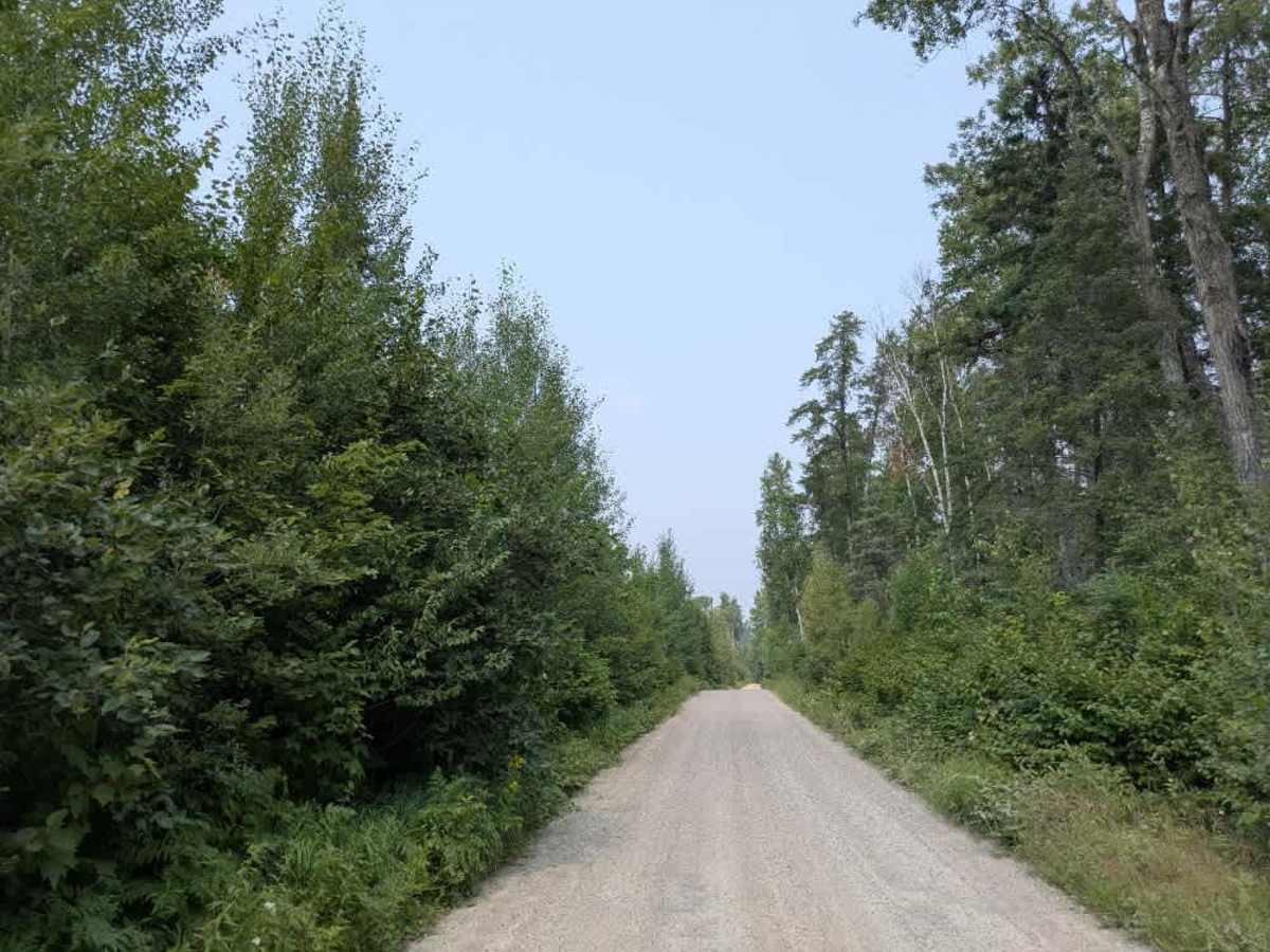
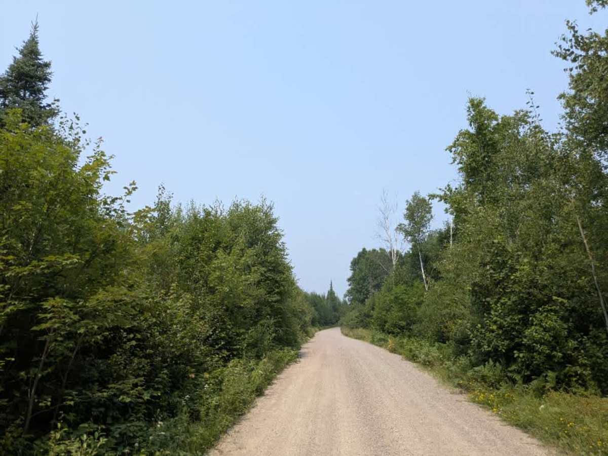
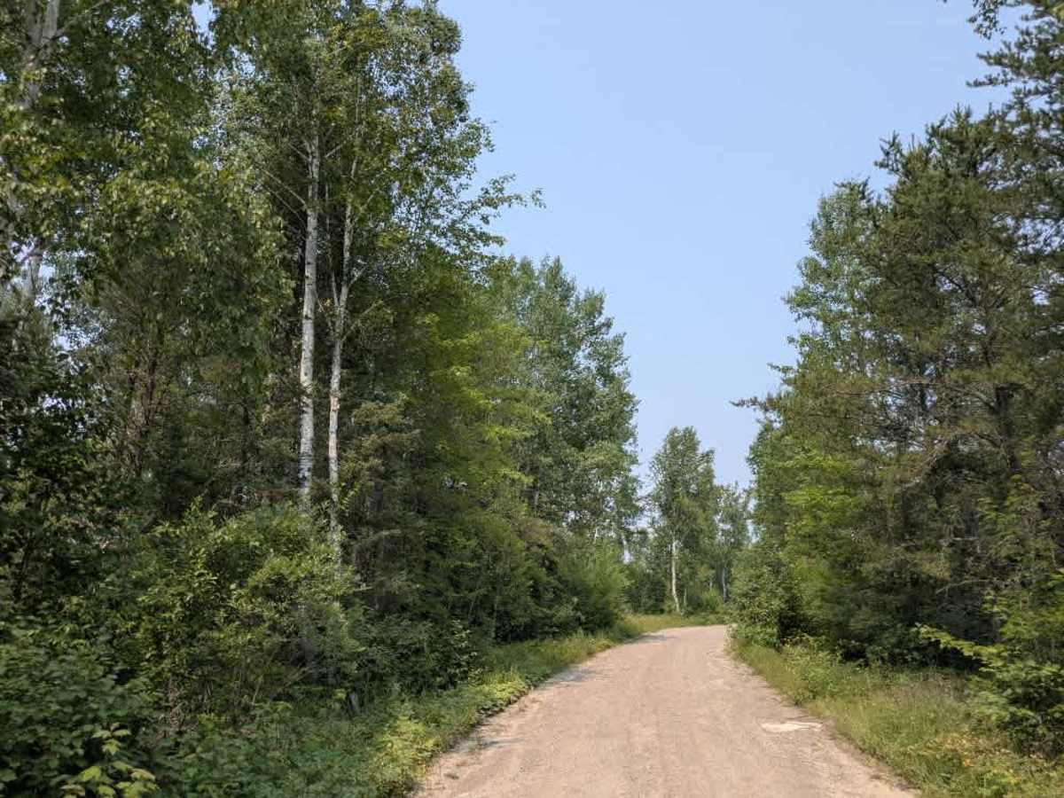
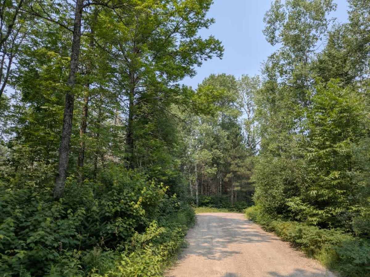
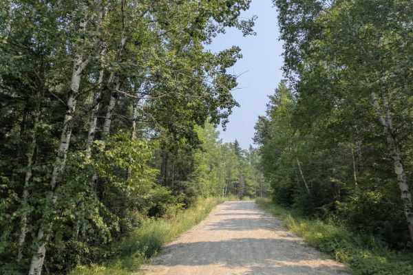
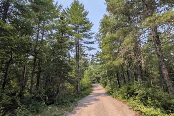
This trail is a well-maintained gravel road that is mostly smooth, though some sections have light corrugation. It winds through forested terrain with a mix of gentle and occasionally steep ascents and descents. The route leads to Mudrow Lake, a popular destination for canoeists, especially during peak times. On a Friday morning, over thirty vehicles were observed parked at the large main parking area, which also includes an overflow section and toilet facilities near the lake. Due to the high volume of recreational use, particularly from paddlers and outfitters, traffic can be frequent, and drivers should proceed with caution. While the endpoint offers access to the lake and basic amenities like toilets, the trail itself does not support camping. There are no designated or dispersed campsites along the route, and services such as trash disposal or potable water are not available. Visitors should plan accordingly and expect limited or no cell service in the area.
Difficulty
This forest trail is well-maintained and used by adventurers. The route is wide and clear of debris, with established tread and minimal overgrowth, making it ideal for a smooth and scenic drive.