
Dirt Bike Trails
Near Denio, Nevada
Explore All Dirt Bike Trails Near Denio, Nevada
Dirt Bike Trails Near Denio, Nevada
Discover the best dirt bike trails near you. Browse trail maps, check difficulty ratings, and find your next adventure — whether you're looking for a quick ride or an all-day expedition.
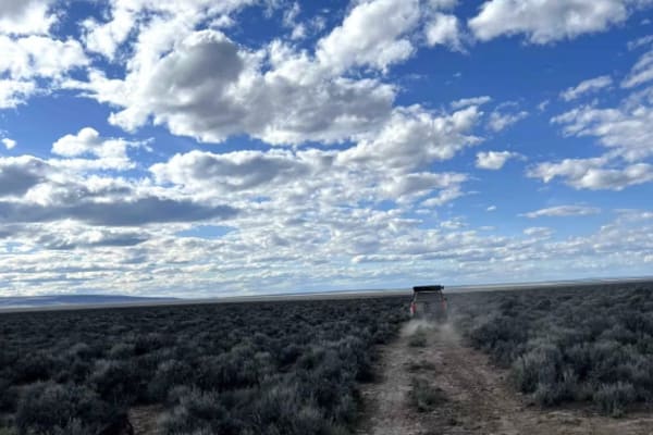
Domingo to Hart Mountain
This is a gorgeous, adventure-filled run mostly in line with the OBDR. This trail will either take you on from Domingo Pass to the Hart Mountain Antelope Refuge or run in reverse. It is a great way to make your way to Fields into the Alvord Desert and beyond. Overall, this is a mild trail, but there...
Learn more about Domingo to Hart Mountain
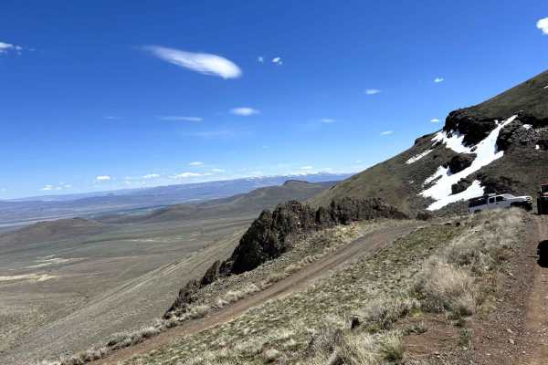
Domingo Pass
This is a relatively mild, yet fun, connector route in the Oregon backcountry. This trail is a great way to get to or from Fields and the Alvord Desert as a part of the Oregon Backcountry Discovery Route, or just a detour from the main route with some amazing views of this spectacular region.
Learn more about Domingo Pass
Pine Forest Range Ridge
The Pine Forest Range Ridge trail is an exceptional high-desert adventure for moderately experienced offroaders seeking panoramic Nevada vistas and a rewarding climb into the rugged Pine Forest Range. Starting off Nevada State Route 140, this 20.4-mile point-to-point route ascends from an elevation ...
Learn more about Pine Forest Range Ridge
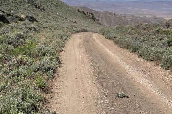
Knott Creek Reservoir North Access
The starting point is right near Gridley Lake and you will head east up the trail toward the mountains. There is mining activity in the area, so Knott Creek Road will have a bit of heavy truck traffic to at least be aware of. This trail will start off pretty mild, but there are a few areas to watch ...
Learn more about Knott Creek Reservoir North Access
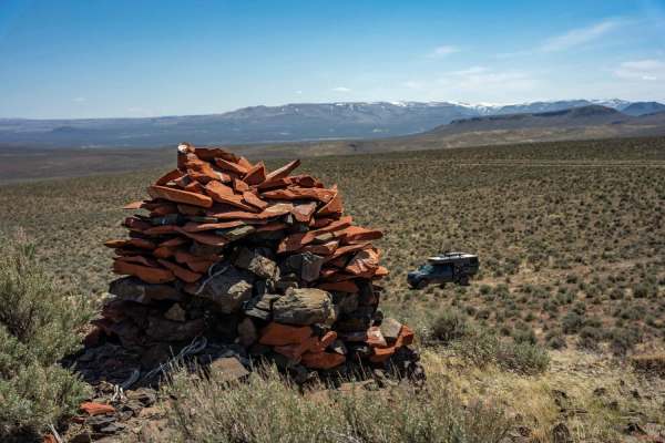
Eastern Alvord Desert Plateau
This trail gives you unique views from a high vantage point looking west at the Alvord Desert and the Steen's Mountain Range. This trail is best driven as a long day trip or better broken into two days if you have the time. This trail is great to get away from the crowds, see some incredible geologi...
Learn more about Eastern Alvord Desert Plateau
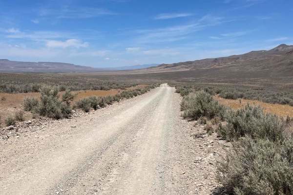
Knott Creek South Access
Access from Knott Creek Rd about 17.3 miles south of NV State Road 140. This begins as a graded gravel road and then turns to a 2-track the rest of the way up to the reservoir. This south access is much easier than the north access. Here you will find steep grades, but the dirt is mainly hardpack an...
Learn more about Knott Creek South Access
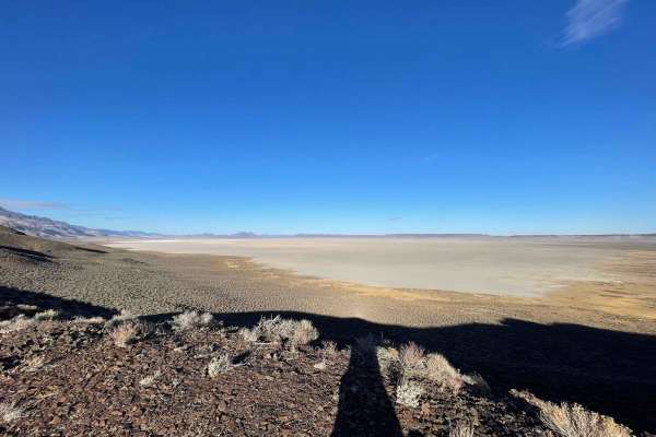
Otro Playa Vista
This rocky trail is a good one to link up with Playa Vista for a slightly different angle of the playa (dry lakebed) below. There are a few dispersed camping options, but be sure to note the private property and 5th wheel on it and try to avoid camping too close to them. Be cautious of the trails th...
Learn more about Otro Playa Vista
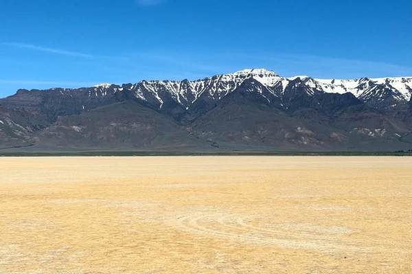
Annie's Desert Romp
The Alvord Desert playa is a vast, flat expanse of a dried lake bed, offering a unique and serene landscape. The playa's hard, cracked surface creates an almost otherworldly experience, perfect for off-road adventures and photography. However, visitors should remain vigilant for mud holes, which can...
Learn more about Annie's Desert Romp
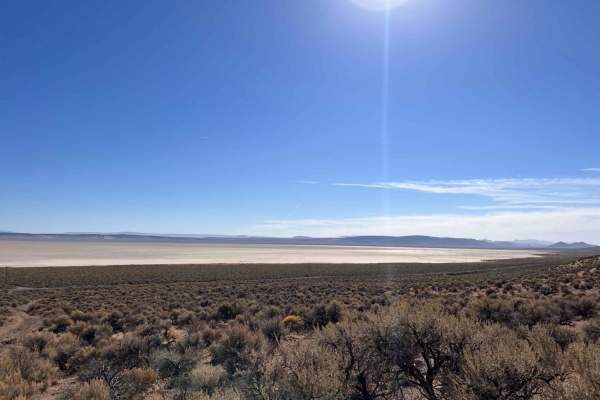
The Oregon Desert Trail
This rutted loose trail heads from the main road along the Alvord Dry Lake Playa into the hills. It features a few steep sections with loose rutted washouts. There are a few small rock shelves and slight off-camber sections. There are a couple of small dispersed camping spots, one at the trail's end...
Learn more about The Oregon Desert Trail
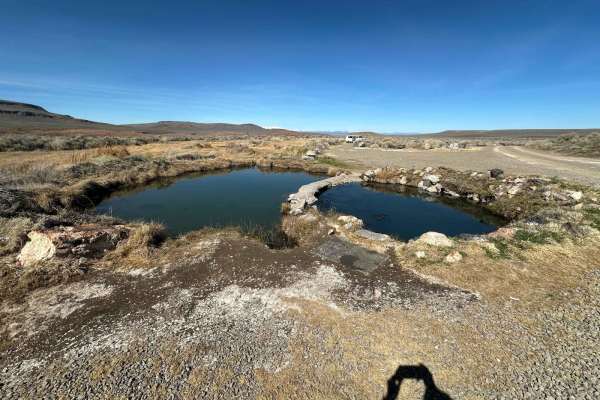
Willow Creek
From Highway 95, you will turn onto a maintained gravel road. It has recently been graded as of March 2024, so it's currently easy riding. You may want to stock up on goodies in either McDermitt or Denio, Nevada, or Fields, Oregon, before you head out.
Learn more about Willow Creek
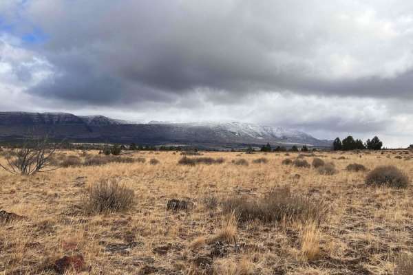
Three Springs Offshoot
This bumpy little out-and-back ends at a nice camping spot nestled in a juniper grove. It has a hiking trailhead and plenty of cut juniper to collect along the way for your campfire. There are a few rock gardens nestled in some tall grass. Watch for massive horse apple piles along the way; to keep t...
Learn more about Three Springs Offshoot
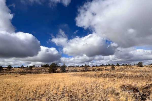
Three Springs Dead End
Three Springs Dead End is a short but highly technical out-and-back trail in southeastern Oregon designed for experienced four-wheel-drive enthusiasts seeking a rocky, slow-going challenge. Spanning approximately 1.6 miles, this route climbs from an elevation of 5,557 feet to 5,856 feet, showcasing ...
Learn more about Three Springs Dead End
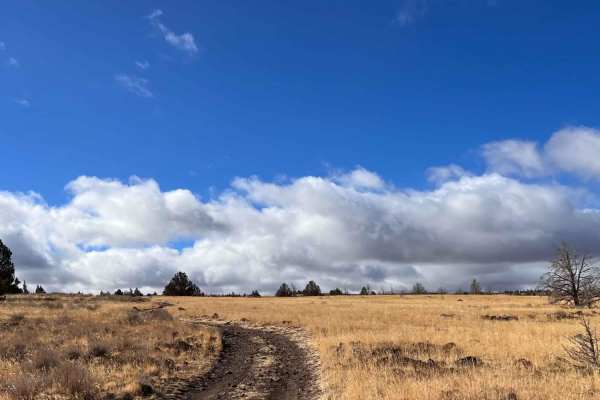
Three Springs Road
This rocky, rutted trail heads off into the wilderness and passes across the ridgeline with outstanding views of the surrounding Steen Mountains. There is plenty of wildlife, including deer and wild horses, to spot along the way. There is also a ton of downed juniper trees cut and disked. Use cautio...
Learn more about Three Springs Road
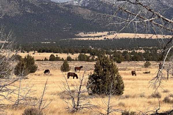
Steens Mustang Bounce
This bouncy rocky run features a few dispersed campsites--one nice one near the beginning and one grassy lesser-used one near the trail's end with a fire ring. The offshoot trail also has a nice, open, small camping spot near the end. The trail passes through beautiful grasslands and a burned-out ju...
Learn more about Steens Mustang Bounce
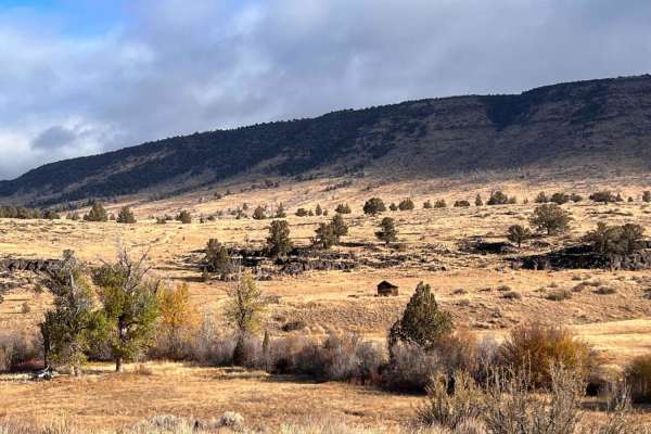
Riddle Brothers Ranch
This easy out and back is a must-see while it's open from mid-June to the October season. Be sure to check with the Berns BLM office to be sure it's open before you go. It features hiking trails and many historic buildings to explore. The drive out is beautiful as it runs along the creek in some par...
Learn more about Riddle Brothers Ranch
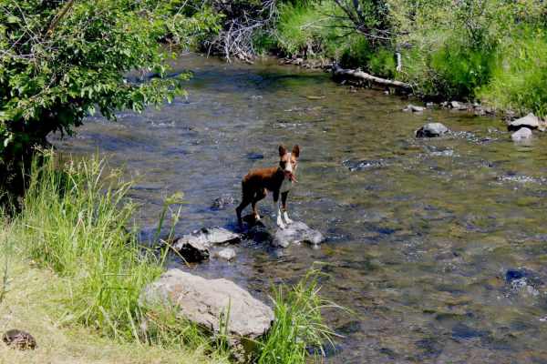
Newton Cabin Trail
This rugged trail accesses Indian Creek at the base of Steens Mountain. There is excellent high-desert camping in the area and very nice, cool creek access through the summer. The trail is rugged and hot in summer but passable from spring to fall. The historical Newton Cabin is near the creek at the...
Learn more about Newton Cabin Trail
Lauserica Road
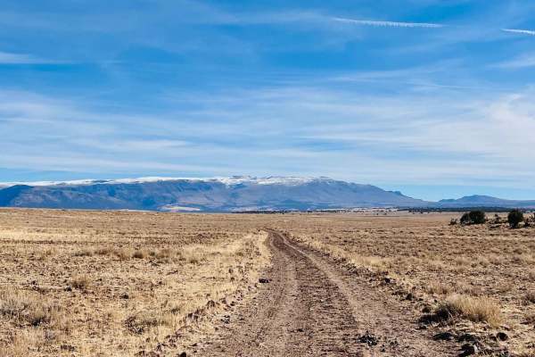
This long out-and-back trail passes through the Historic Roaring Springs ranch property. There is an old cabin on site, but please be respectful that it is private property with access through, so admire it from a distance. The trail has plenty of opportunities to view wildlife, including the many w...
Learn more about Lauserica Road
Anderson Crossing
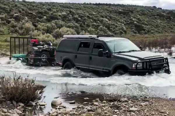
This route is a way to access one of the most remote areas in Oregon. It gets extreme heat as well as extreme cold and has water crossings which can be quite high until May. The road itself is relatively moderate, but it starts out with a steep and long grade, and the road has areas with ruts and ma...
Learn more about Anderson Crossing
Flook Lake Bypass - Hart Mountain Antelope Refuge
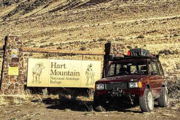
This is a sensitive wildlife area. Please follow all posted signs, even if they direct you off this onX route. Stay on designated routes at all times. Camping is limited to designated areas and by permit only. Visit the official website for the latest access and conditions information: https://www.f...
Learn more about Flook Lake Bypass - Hart Mountain Antelope Refuge
Blue Mountain
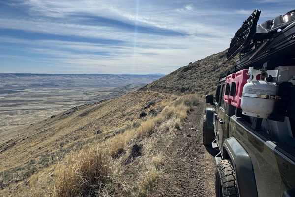
This is a dirt with rock trail to the summit of Blue Mountain at 7,320 feet in elevation. It begins from the highway as mostly dirt and quickly begins to ascend. The road becomes rougher with sections of rock garden and loose rock. The road also becomes a one-lane shelf road with a large drop-off an...
Learn more about Blue Mountain
ATV trails near Denio, Nevada
Explore ATV-friendly trails near you. These trails are accessible for vehicles up to 50 inches wide, perfect for ATVs and smaller off-road machines.
Domingo to Hart Mountain
This is a gorgeous, adventure-filled run mostly in line with the OBDR. This trail will either take you on from Domingo Pass to the Hart Mountain Antelope Refuge or run in reverse. It is a great way to make your way to Fields into the Alvord Desert and beyond. Overall, this is a mild trail, but there...
Learn more about Domingo to Hart Mountain
Domingo Pass
This is a relatively mild, yet fun, connector route in the Oregon backcountry. This trail is a great way to get to or from Fields and the Alvord Desert as a part of the Oregon Backcountry Discovery Route, or just a detour from the main route with some amazing views of this spectacular region.
Learn more about Domingo Pass
Pine Forest Range Ridge
The Pine Forest Range Ridge trail is an exceptional high-desert adventure for moderately experienced offroaders seeking panoramic Nevada vistas and a rewarding climb into the rugged Pine Forest Range. Starting off Nevada State Route 140, this 20.4-mile point-to-point route ascends from an elevation ...
Learn more about Pine Forest Range Ridge
Knott Creek Reservoir North Access
The starting point is right near Gridley Lake and you will head east up the trail toward the mountains. There is mining activity in the area, so Knott Creek Road will have a bit of heavy truck traffic to at least be aware of. This trail will start off pretty mild, but there are a few areas to watch ...
Learn more about Knott Creek Reservoir North Access
UTV/side-by-side trails near Denio, Nevada
Find UTV and side-by-side trails near you. These trails accommodate vehicles up to 60 inches wide, ideal for UTVs, side-by-sides, and wider off-road rigs.
Domingo to Hart Mountain
This is a gorgeous, adventure-filled run mostly in line with the OBDR. This trail will either take you on from Domingo Pass to the Hart Mountain Antelope Refuge or run in reverse. It is a great way to make your way to Fields into the Alvord Desert and beyond. Overall, this is a mild trail, but there...
Learn more about Domingo to Hart Mountain
Domingo Pass
This is a relatively mild, yet fun, connector route in the Oregon backcountry. This trail is a great way to get to or from Fields and the Alvord Desert as a part of the Oregon Backcountry Discovery Route, or just a detour from the main route with some amazing views of this spectacular region.
Learn more about Domingo Pass
Pine Forest Range Ridge
The Pine Forest Range Ridge trail is an exceptional high-desert adventure for moderately experienced offroaders seeking panoramic Nevada vistas and a rewarding climb into the rugged Pine Forest Range. Starting off Nevada State Route 140, this 20.4-mile point-to-point route ascends from an elevation ...
Learn more about Pine Forest Range Ridge
Knott Creek Reservoir North Access
The starting point is right near Gridley Lake and you will head east up the trail toward the mountains. There is mining activity in the area, so Knott Creek Road will have a bit of heavy truck traffic to at least be aware of. This trail will start off pretty mild, but there are a few areas to watch ...
Learn more about Knott Creek Reservoir North Access
The onX Offroad Difference
onX Offroad combines trail photos, descriptions, difficulty ratings, width restrictions, seasonality, and more in a user-friendly interface. Available on all devices, with offline access and full compatibility with CarPlay and Android Auto. Discover what you're missing today!
Open Trail Map