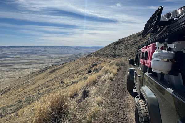
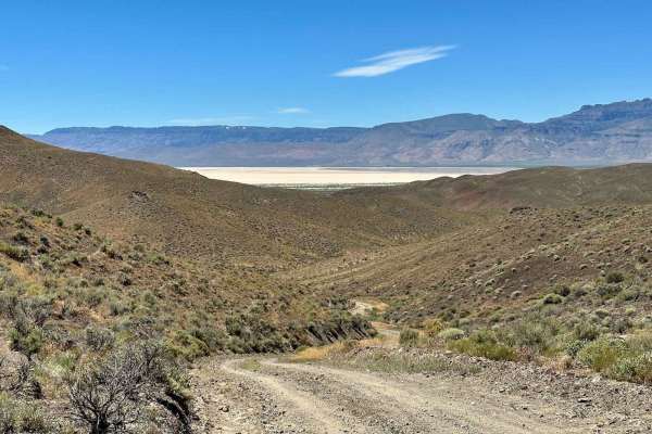
Trail Overview
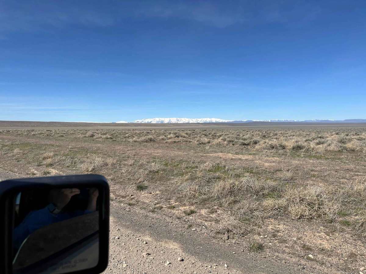
From Highway 95, you will turn onto a maintained gravel road. It has recently been graded as of March 2024, so it's currently easy riding. You may want to stock up on goodies in either McDermitt or Denio, Nevada, or Fields, Oregon, before you head out.
History
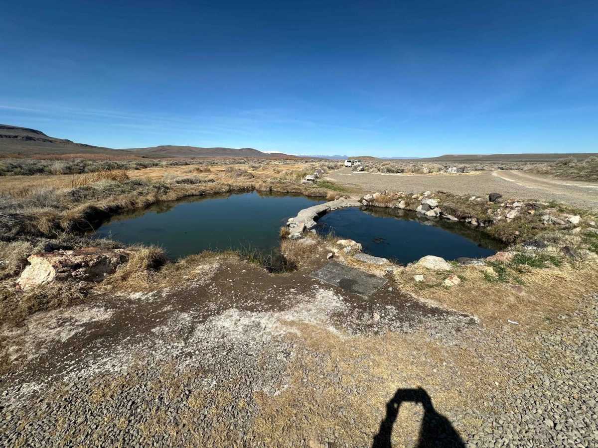
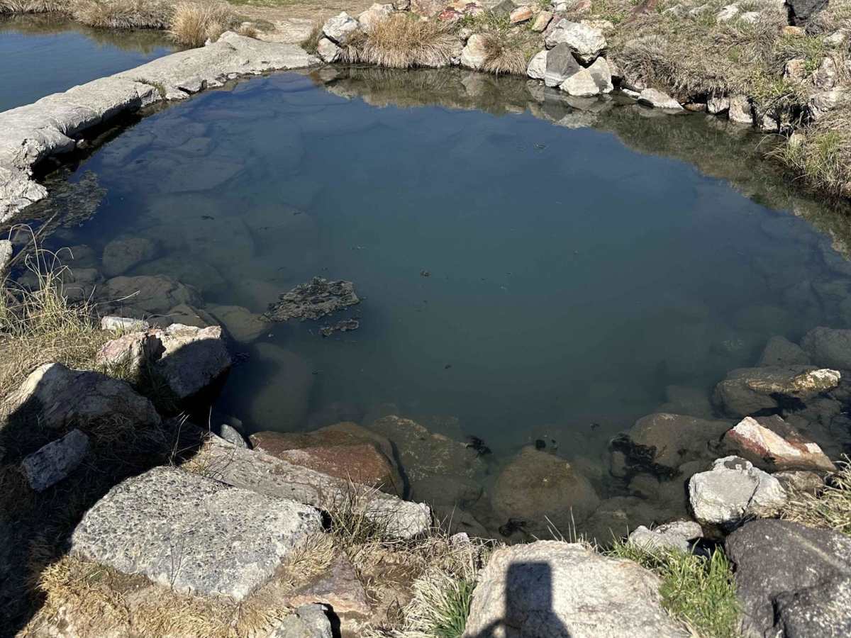
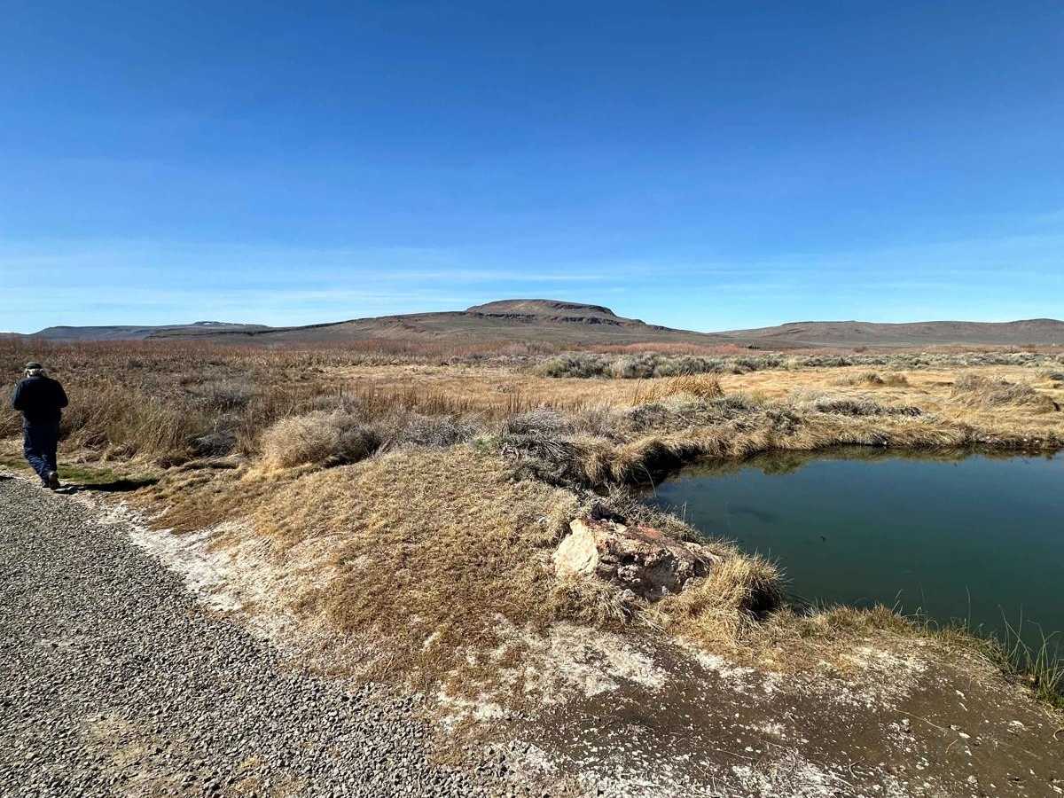
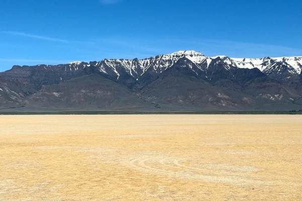
Originally known as the Whitehorse Ranch Hot Springs, Willow Creek sits on a historic cattle ranch started in 1869 and continues to this day. One count estimates it's made up of 63,222 acres of deeded property and grazing rights as well as 287,205 acres of public range land overseen by the Bureau of Land Management. There is also a private airstrip onsite. Of course, before that, the land was used by Native Americans from the Northern Paiute tribe. Between the creek as a water source, the warm and healing hot springs, and an abundance of wildlife for food, it's not hard to see why it was a fitting place to live. Sometimes you'll still hear the hot springs referred to by the name of the ranch it sits on. The single pool is deep (about 30-inches) and wide, split down the middle by a concrete wall. It has a soft muddy bottom and sits at about 102 (39) on one side and 85-95 (29-35) on the other. There are boulders immersed in the warm water that are perfect to sit on and relax but can be slippery when getting in and out. You won't find any shade here; just bluebunch wheatgrass, sagebrush, and sunshine flowers. Bring shelter or an umbrella if you need it during hot, sunny days. You won't find cell service, either.