Trail Overview
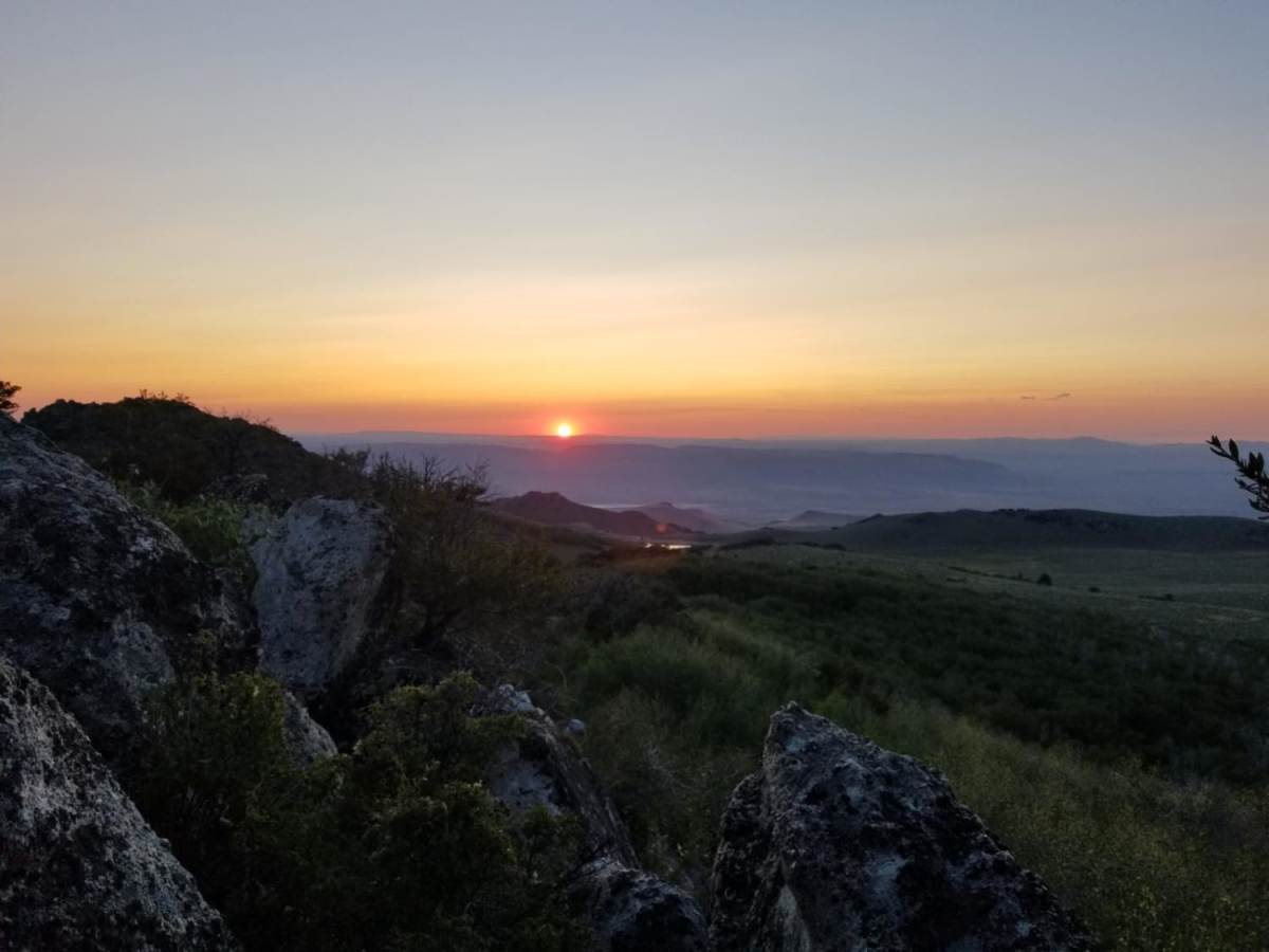
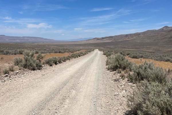
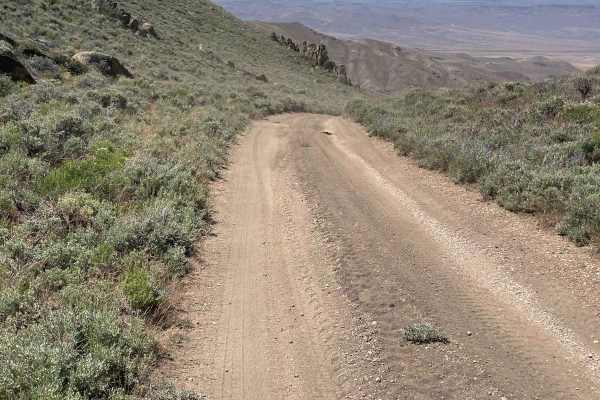
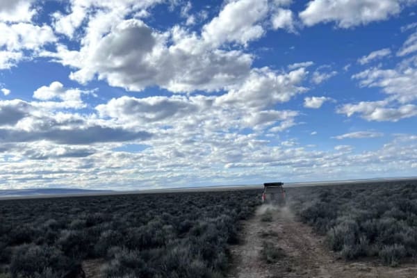
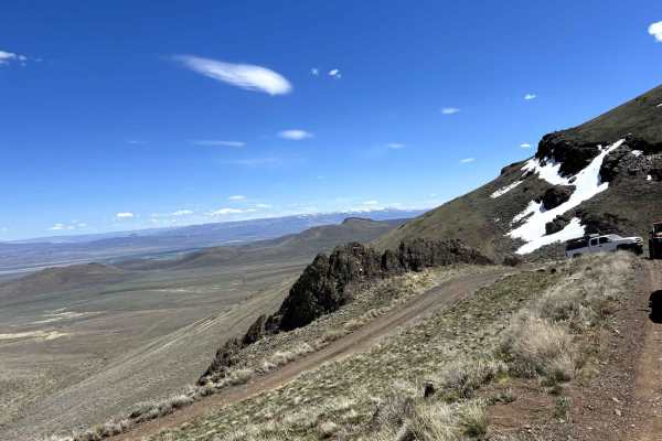
The Pine Forest Range Ridge trail is an exceptional high-desert adventure for moderately experienced offroaders seeking panoramic Nevada vistas and a rewarding climb into the rugged Pine Forest Range. Starting off Nevada State Route 140, this 20.4-mile point-to-point route ascends from an elevation of 4,455 feet up to a high point of 7,779 feet near Duffer Peak. Loose gravel and rock dominate the surface of this unpaved route, requiring careful throttle control and a capable high-clearance 4WD vehicle. While there are no highly technical obstacles, the trail features several steep climbs where engaging differential lockers can provide much-needed traction to keep moving safely without risking tire spin or vehicle damage.
With a technical rating of 4, the track is easy to follow and remains relatively level from side to side, avoiding severe off-camber situations. However, drivers should exercise caution on the steep uphill pitches, as attempting to tackle them at high speeds is hazardous due to the loose traction. The route accumulates over 5,410 feet of total elevation gain, weaving through scenic high-elevation terrain with dramatic views of Mahogany Mountain and the surrounding desert basins. Offroaders should plan their trips for the summer and fall seasons, ensuring that high-altitude sections are free of snow.
Difficulty
The trail is easy to follow and doesn't require much skill to tackle. Where it is steep, it is loose, but straight and level side to side.
Access Description
The route is located on public lands managed by the Bureau of Land Management (BLM). No permits or fees are required to drive the trail. However, because this is an extremely remote area with no cell service, fuel, or water, visitors must be entirely self-sufficient, carry recovery gear, and travel with extra supplies.