
Dirt Bike Trails
Near De Beque, Colorado
Explore All Dirt Bike Trails Near De Beque, Colorado
Dirt Bike Trails Near De Beque, Colorado
Discover the best dirt bike trails near you. Browse trail maps, check difficulty ratings, and find your next adventure — whether you're looking for a quick ride or an all-day expedition.
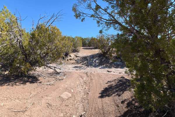
BLM 281
BLM 281 is an incredibly scenic, multi-use 3.2-mile route that transitions quickly from civilization into rugged desert terrain. The trail begins just off a 95% paved road heading out of town. Because the unmarked entrance sits discreetly between two private homes, you must rely heavily on your GPS ...
Learn more about BLM 281
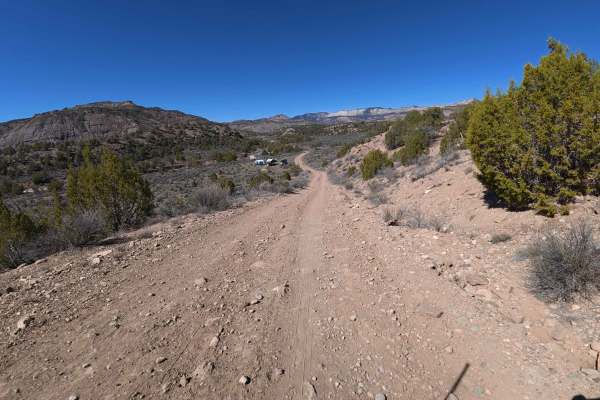
BLM V 3/10
Serving as the primary central artery that connects all other routes within this off-road network, BLM V 3/10 is a highly active and scenic 1.5-mile dirt transit trail. The journey officially kicks off at a sprawling, unpaved staging area that acts as a bustling recreational hub. You will frequently...
Learn more about BLM V 3/10
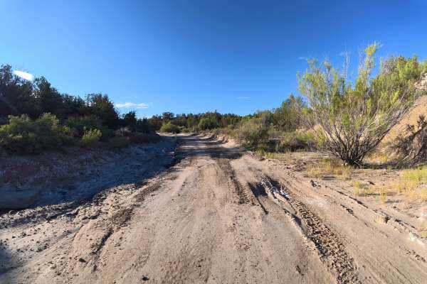
South Road
This scenic trail travels through BLM land with views of dramatic rock formations and surrounding mountain ranges. The trail consists mostly of fine dirt with 6–8-inch ruts and washouts, which can become difficult when wet. At 0.9 miles, a level campsite fits 4–5 vehicles and offers great views and ...
Learn more about South Road
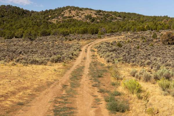
Dry Fork
Dry Fork is an easy-going, 23.5-mile off-road route near De Beque, Colorado, perfect for scenic tourers and beginner drivers looking for spectacular sandstone hoodoos and canyon vistas without intense technical obstacles. Starting off County Road 200 (XY Road) just north of Interstate 70, this strai...
Learn more about Dry Fork
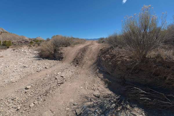
BLM 282
Branching directly off BLM V 3/10, BLM 282 is an exceptionally rugged, slow-going 7.5-mile gauntlet that demands absolute focus. The challenge begins immediately with a steep incline and an intimidating 3-foot drop-off that you must carefully descend—and eventually climb back up on your return. By t...
Learn more about BLM 282
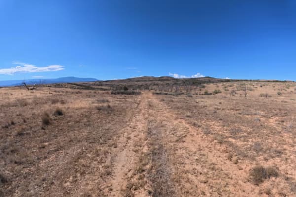
BLM 286C
This short, scenic trail consists mostly of dirt and fine sand with 10–12-inch ruts and several switchbacks that make it unsuitable for trailers. At 0.1 miles, a level campsite fits up to five vehicles and offers great views of the surrounding rock formations. Farther along, the trail narrows with s...
Learn more about BLM 286C
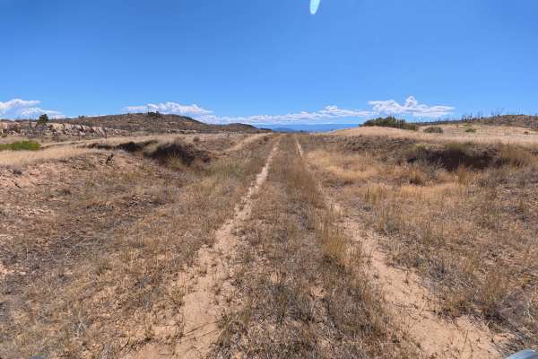
BLM 286B
This short, scenic trail consists mostly of dirt and fine sand that can become difficult when wet. The area was affected by a wildfire several years ago, leaving heavy vegetation and overgrowth along the trail, so follow the GPS carefully. At 0.9 miles, a level campsite fits up to three vehicles and...
Learn more about BLM 286B
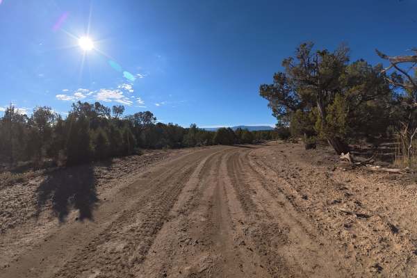
CR 36.2
This trail winds through more heavily vegetated hills than the surrounding routes, with scenic views throughout. It consists mostly of fine dirt that can become difficult when wet, with 2–3-inch ruts near the beginning and 12–14-inch rock ledges after the first climb. These obstacles require at leas...
Learn more about CR 36.2
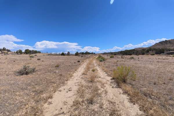
BLM 287
This scenic trail consists of fine dirt and sand with ruts up to 3 inches deep, but wet conditions can make it extremely difficult. The trail is narrow with overgrowth and pinstriping potential, then becomes increasingly rocky with 10-inch ledges and rock gardens. At 2.7 miles, a steep climb with sh...
Learn more about BLM 287
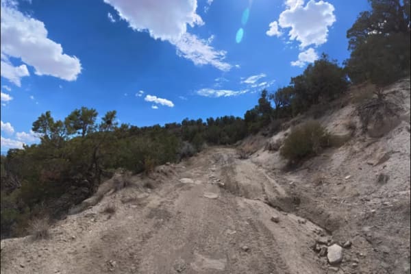
35 Road
This challenging trail climbs steeply onto a plateau before becoming increasingly rocky and technical. The trail has 8–10-inch ruts, narrow sections, and rock gardens, with ledges increasing from 5–8 inches to 12–14 inches farther in. Around 3 miles, the trail becomes extremely tight and cliffside, ...
Learn more about 35 Road
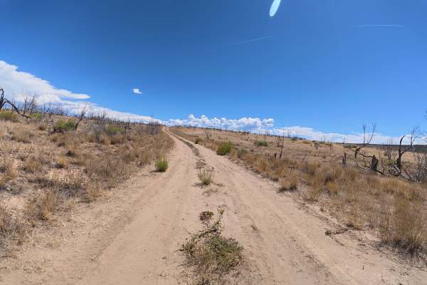
BLM 288
This scenic trail consists mostly of dirt and fine sand, with enough width for vehicles to pass. Ruts start at 4 inches or less and increase to 10–12 inches around 2 miles, while the trail winds through hills and cliffside terrain with beautiful valley views. Toward the end, the trail becomes narrow...
Learn more about BLM 288
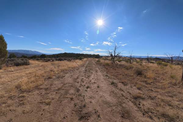
BLM 286A
This scenic trail winds over hills through dense vegetation with 6–8-inch ruts and rocky sections. The trail is wide enough for vehicles to pass, but overgrowth can make the route harder to follow, so stay on the mapped trail. The area appears to have been affected by an old fire, creating incredibl...
Learn more about BLM 286A
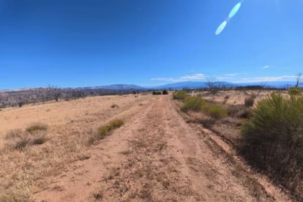
BLM 286
This scenic trail follows mostly dirt and fine sand with direct views of the Book Cliffs throughout. 10–12-inch ruts are present, with a section around 4.8 miles that reaches 10 degrees off-camber for several hundred yards. Around 6 miles, the trail becomes much rockier with rock gardens containing ...
Learn more about BLM 286
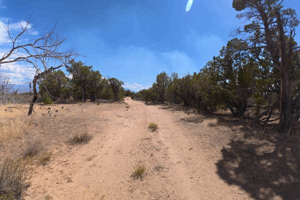
BLM 290
This scenic, single-width trail consists mostly of fine dirt and offers excellent views of the Book Cliffs and surrounding mountains. Ruts remain around 6–8 inches deep throughout, while the trail becomes narrower with multiple switchbacks and some pinstriping potential. Wet conditions can make the ...
Learn more about BLM 290
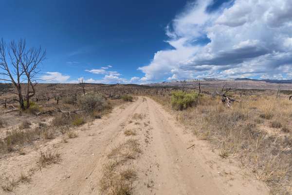
BLM 289
This scenic, single-width trail climbs along a high ridge with expansive views of the Book Cliffs, valley, and surrounding mountains. The trail consists of fine dirt and sand with ruts up to 6 inches deep and rock ledges up to 5 inches, while branches and shrubbery create some pinstriping potential....
Learn more about BLM 289
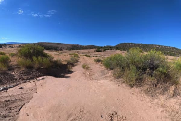
BLM 287A
This short trail consists of dirt and fine sand, which can become difficult when wet. The trail begins with a 12-inch rock ledge, followed by mostly smooth terrain with minimal ruts. At 0.2 miles, a level campsite fits up to five vehicles, while a larger, private campsite at the end can accommodate ...
Learn more about BLM 287A
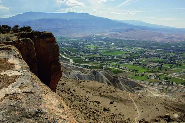
Coal Canyon
Close to Grand Junction, Coal Canyon provides easy access to multi-use recreation. This route begins in a wash and climbs to an overlook of Palisade. The trail continues in the wash, which gets narrower and eventually stops. Camping available. Please stay on trail and be respectful of hikers, horseb...
Learn more about Coal Canyon
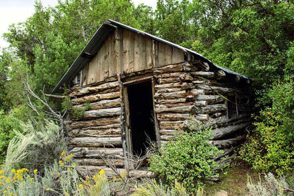
Speer Hunter
Speer Hunter offers an exhilarating 17.2-mile journey up the back of South Shale Ridge, making it an ideal adventure for OHVs, SxSs, and stock, high-clearance four-wheel-drive vehicles seeking scenic lookouts and moderate challenges in western Colorado. Starting at an elevation of approximately 5,63...
Learn more about Speer Hunter
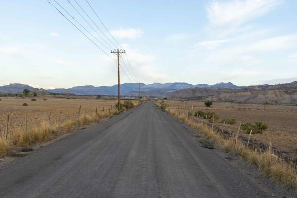
Monument Rocks
The route to Monument Rocks begins wide and open, gradually narrowing as it winds deeper into the backcountry. Drivers will encounter exposed rock sections, ruts, and eroded hills, with the terrain becoming more rugged as the trail progresses. The landscape is defined by canyons and steep-sided feat...
Learn more about Monument Rocks
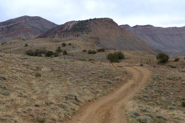
25 and 27 1/4 Connector
This is a good option for connecting Mesa County Roads 25 and 27 1/4 as opposed to backtracking entirely to town. There are other routes in the vicinity to explore, though most either dead end or simply disappear in the cliffs. This is route is mostly easy, flat dirt road, with only a few instances ...
Learn more about 25 and 27 1/4 Connector
ATV trails near De Beque, Colorado
Explore ATV-friendly trails near you. These trails are accessible for vehicles up to 50 inches wide, perfect for ATVs and smaller off-road machines.
BLM 281
BLM 281 is an incredibly scenic, multi-use 3.2-mile route that transitions quickly from civilization into rugged desert terrain. The trail begins just off a 95% paved road heading out of town. Because the unmarked entrance sits discreetly between two private homes, you must rely heavily on your GPS ...
Learn more about BLM 281
BLM V 3/10
Serving as the primary central artery that connects all other routes within this off-road network, BLM V 3/10 is a highly active and scenic 1.5-mile dirt transit trail. The journey officially kicks off at a sprawling, unpaved staging area that acts as a bustling recreational hub. You will frequently...
Learn more about BLM V 3/10
South Road
This scenic trail travels through BLM land with views of dramatic rock formations and surrounding mountain ranges. The trail consists mostly of fine dirt with 6–8-inch ruts and washouts, which can become difficult when wet. At 0.9 miles, a level campsite fits 4–5 vehicles and offers great views and ...
Learn more about South Road
Dry Fork
Dry Fork is an easy-going, 23.5-mile off-road route near De Beque, Colorado, perfect for scenic tourers and beginner drivers looking for spectacular sandstone hoodoos and canyon vistas without intense technical obstacles. Starting off County Road 200 (XY Road) just north of Interstate 70, this strai...
Learn more about Dry Fork
UTV/side-by-side trails near De Beque, Colorado
Find UTV and side-by-side trails near you. These trails accommodate vehicles up to 60 inches wide, ideal for UTVs, side-by-sides, and wider off-road rigs.
BLM 281
BLM 281 is an incredibly scenic, multi-use 3.2-mile route that transitions quickly from civilization into rugged desert terrain. The trail begins just off a 95% paved road heading out of town. Because the unmarked entrance sits discreetly between two private homes, you must rely heavily on your GPS ...
Learn more about BLM 281
BLM V 3/10
Serving as the primary central artery that connects all other routes within this off-road network, BLM V 3/10 is a highly active and scenic 1.5-mile dirt transit trail. The journey officially kicks off at a sprawling, unpaved staging area that acts as a bustling recreational hub. You will frequently...
Learn more about BLM V 3/10
South Road
This scenic trail travels through BLM land with views of dramatic rock formations and surrounding mountain ranges. The trail consists mostly of fine dirt with 6–8-inch ruts and washouts, which can become difficult when wet. At 0.9 miles, a level campsite fits 4–5 vehicles and offers great views and ...
Learn more about South Road
Dry Fork
Dry Fork is an easy-going, 23.5-mile off-road route near De Beque, Colorado, perfect for scenic tourers and beginner drivers looking for spectacular sandstone hoodoos and canyon vistas without intense technical obstacles. Starting off County Road 200 (XY Road) just north of Interstate 70, this strai...
Learn more about Dry Fork
The onX Offroad Difference
onX Offroad combines trail photos, descriptions, difficulty ratings, width restrictions, seasonality, and more in a user-friendly interface. Available on all devices, with offline access and full compatibility with CarPlay and Android Auto. Discover what you're missing today!
Open Trail Map