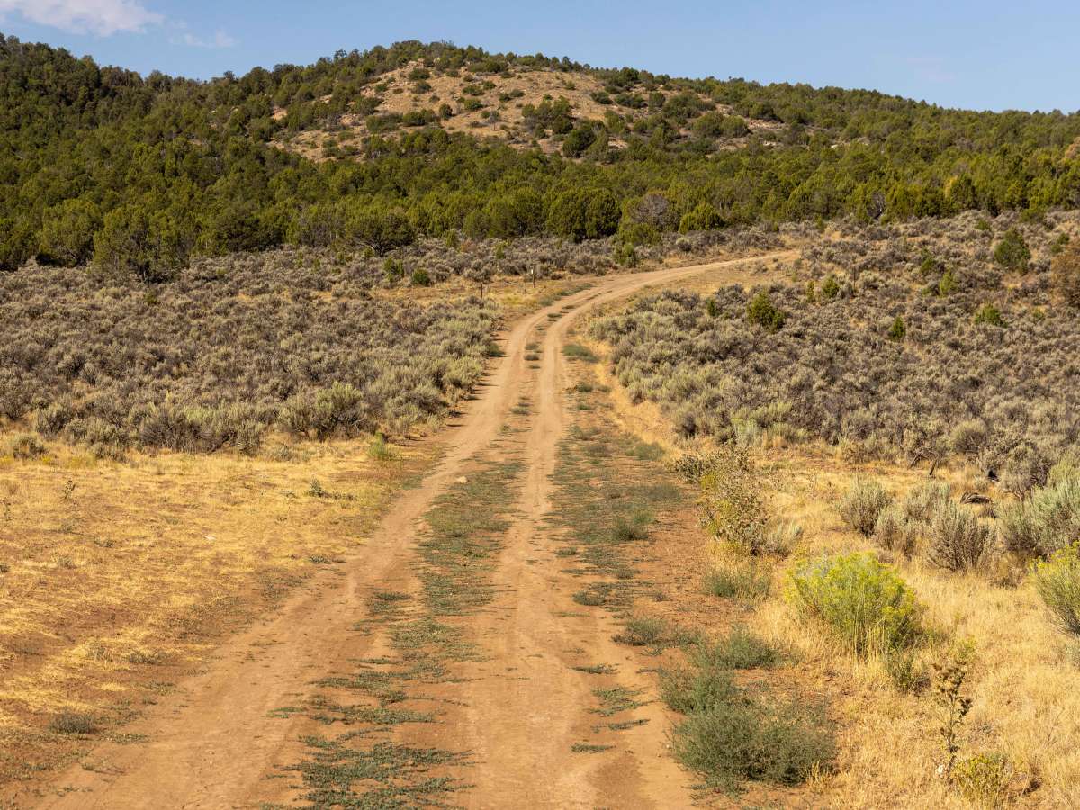
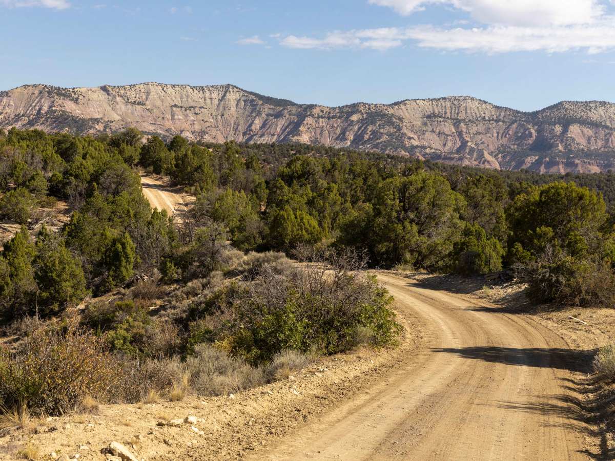
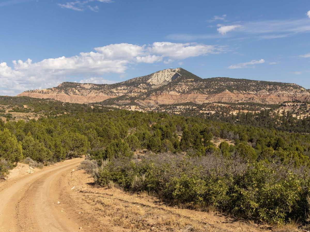
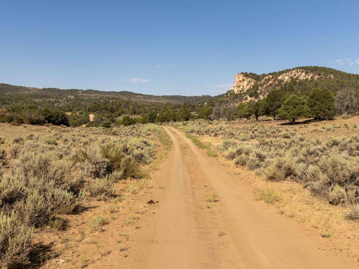
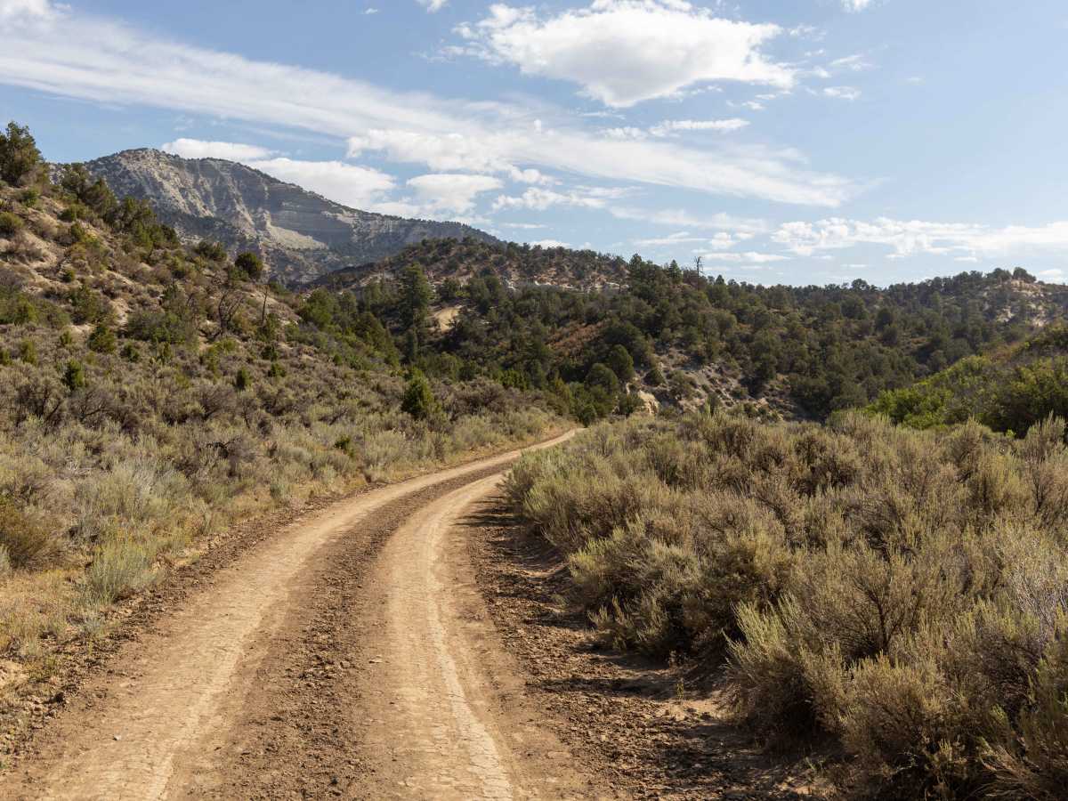
Dry Fork

Total Miles 23.6
Technical Rating
1 Easy
Best Time Spring, Fall, Summer
Trail Type Full-Width Road
Accessible By
Open Trail Map

Trail Overview

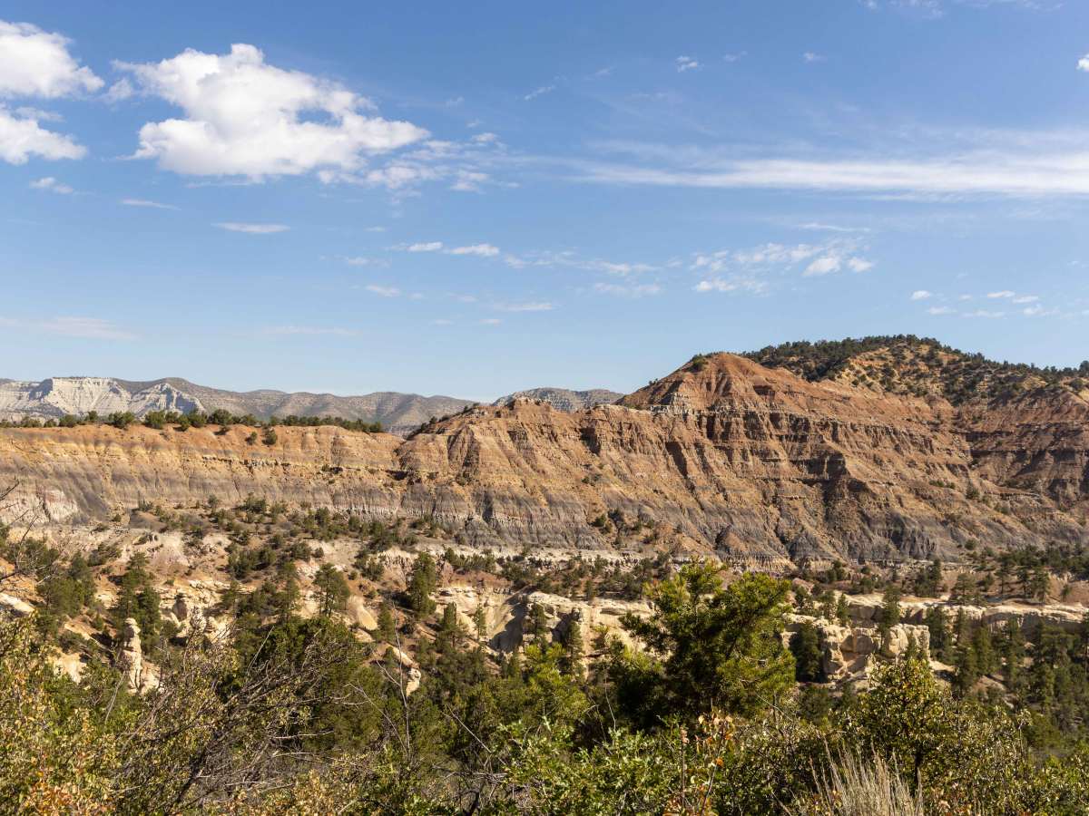
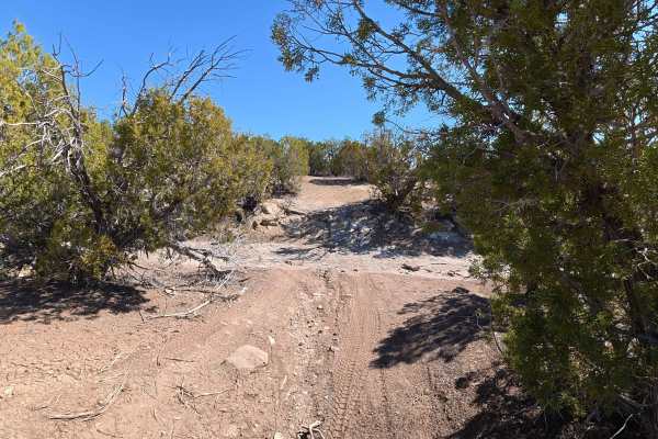
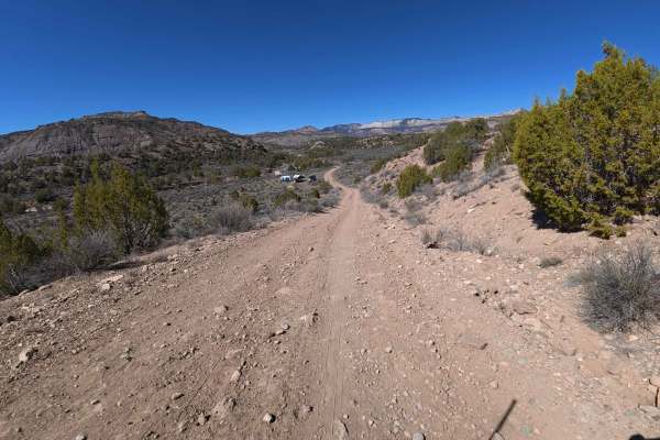
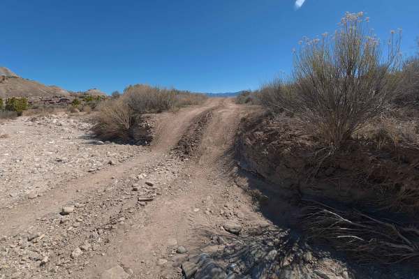
Dry Fork Trail is a straightforward drive with no major obstacles, making it approachable for most vehicles with moderate clearance. The road is primarily dirt, with only a few mild hills, light erosion, and occasional ruts to keep drivers attentive. Its easy nature makes it a scenic route rather than a technical challenge, ideal for those looking to explore at a relaxed pace. The highlight of the drive is the striking landscape of hoodoos, towering rock formations that stand out dramatically against the surrounding terrain.

Photos of Dry Fork

Difficulty

This trail has no major obstacles on it. There is some light erosion that, after time, use, and weather, may become problematic, but for now, it is well travelled and easy.

History

The Dry Fork area has long been shaped by erosion, with wind and water carving the distinctive hoodoos that line parts of the trail. These natural rock spires were notable landmarks for early travelers and settlers moving through the region. Over time, the road itself became a connection between grazing areas and seasonal routes, later serving as access for recreation and exploration. Today, Dry Fork Trail remains valued for its unique geological scenery and easy access to some of Colorado’s more unusual natural formations.

Technical Rating

1

Status Reports

Add Status Report
Nathan G
Mar 15, 2026
Open
Long road but worth it to get away from crowds, lots of cool rock features as well
John R
Mar 09, 2026
Open
This trail is in good shape from the start near Debeque to the east side of Speer Hunter. From there on it rapidly deteriorates. We did not go to the end but at least through the west side of Speer Hunter it is heavily rutted and in bad shape.
Dylan B
Mar 23, 2025
Open
Trail is in alright shape. Not too bad for the first half, some ruts and mud. Two-thirds up it turns into mostly mud, some pretty deep spots and badly rutted out trail.
Sheldon Weaver
Mar 16, 2024
Open
Kenneth Burgener
Oct 14, 2023
Open
Paul Menter
Mar 25, 2023
Open

Dry Fork Trail can be accessed by the following ride types:

  • Single Track
  • 50 Inch
  • 60 Inch
  • High Clearance
  • Full Width

Dry Fork Map

The onX Offroad Difference

onX Offroad combines trail photos, descriptions, difficulty ratings, width restrictions, seasonality, and more in a user-friendly interface. Available on all devices, with offline access and full compatibility with CarPlay and Android Auto. Discover what you're missing today!

Open Trail Map