CR 492

Total Miles0.8
Technical Rating
3Easy
Best TimeSpring, Summer, Fall
Trail TypeFull-Width Road
Accessible By
Open Trail Map

Trail Overview

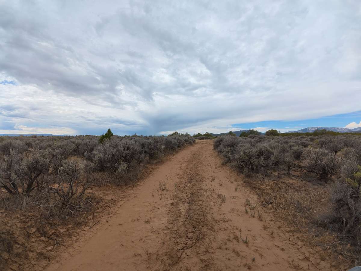
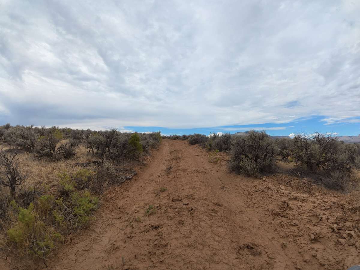
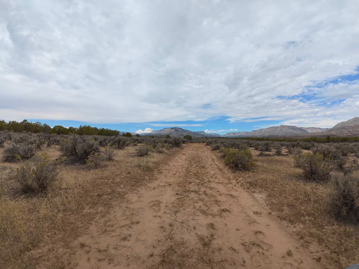
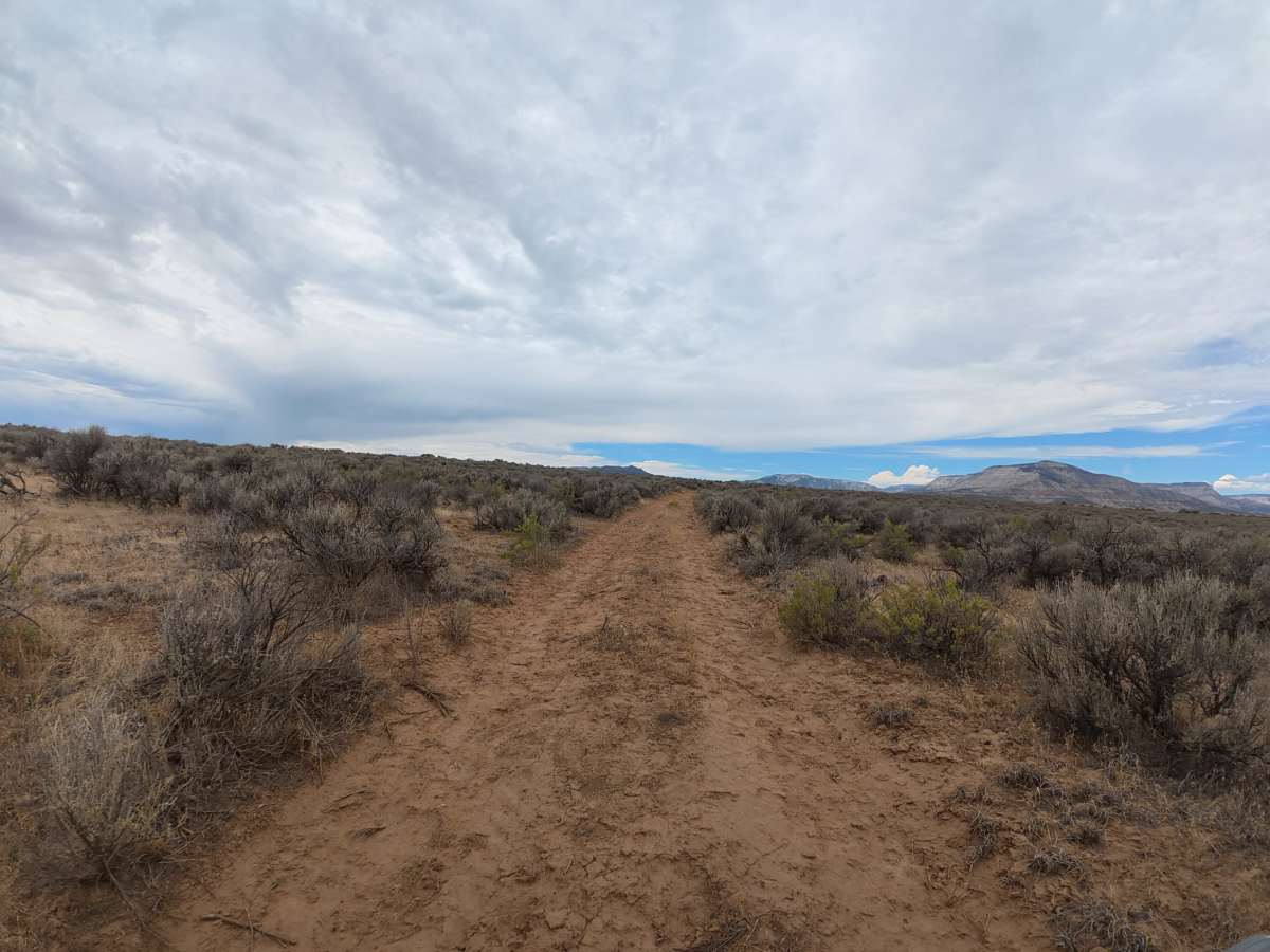
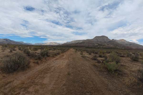
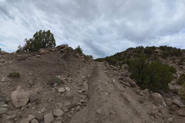
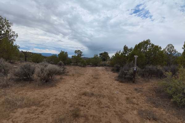
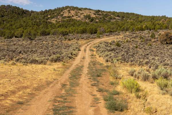
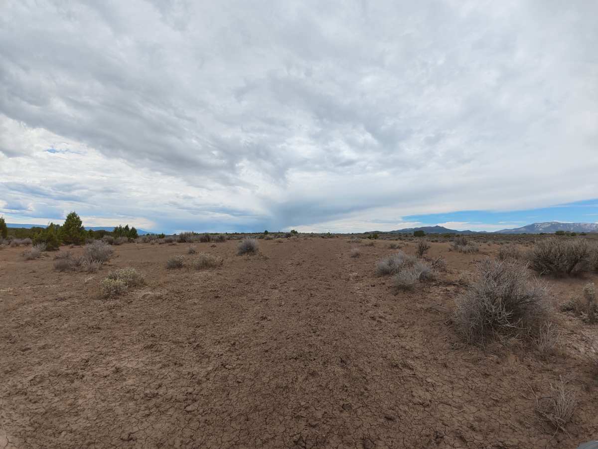
This scenic trail offers beautiful views of the surrounding mountains, including their distinctive red and purple sediment layers. The route consists mostly of fine dirt with 8–10-inch ruts and passes through a short section of Chevron-owned land via public right-of-way before returning to BLM land. A private, level campsite at the end offers great mountain views, shade, and privacy from the surrounding trees.

Photos of CR 492

Difficulty

This trail has 8–10-inch ruts and fine dirt that can become extremely difficult when wet, but it has no major technical obstacles. Reaching this trail requires traveling a Level 6 trail, so drivers should be prepared for significantly more difficult terrain before reaching CR 492.

Technical Rating

3

CR 492 Trail can be accessed by the following ride types:

  • Single Track
  • 50 Inch
  • 60 Inch
  • High Clearance
  • Full Width

CR 492 Map

The onX Offroad Difference

onX Offroad combines trail photos, descriptions, difficulty ratings, width restrictions, seasonality, and more in a user-friendly interface. Available on all devices, with offline access and full compatibility with CarPlay and Android Auto. Discover what you're missing today!

Open Trail Map