
Dirt Bike Trails
Near Crescent Bar, Washington
Explore All Dirt Bike Trails Near Crescent Bar, Washington
Dirt Bike Trails Near Crescent Bar, Washington
Discover the best dirt bike trails near you. Browse trail maps, check difficulty ratings, and find your next adventure — whether you're looking for a quick ride or an all-day expedition.
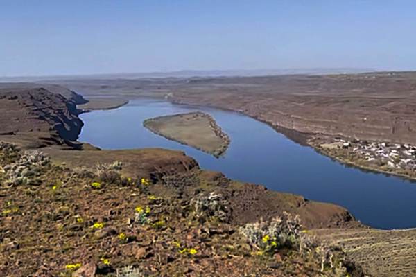
Tekison Creek Road
The trail is designated as a green dot road and consists of compacted dirt mixed with sharp basalt rocks, which gives it a difficulty rating of 1. Located in a high desert area, this trail is known for its windy conditions. As you traverse the trail, you'll have the opportunity to see a windmill far...
Learn more about Tekison Creek Road
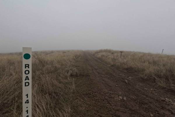
Road 14.14
Road 14.14 is a 1.3-mile out-and-back trail that follows a ridgeline, ending at a road closed sign near Cape Horn. Offering stunning views of Brewton Gulch to the south and the Columbia River to the north, this trail is a shelf road with sections of small ruts, loose fist-sized rocks, and one mud ho...
Learn more about Road 14.14
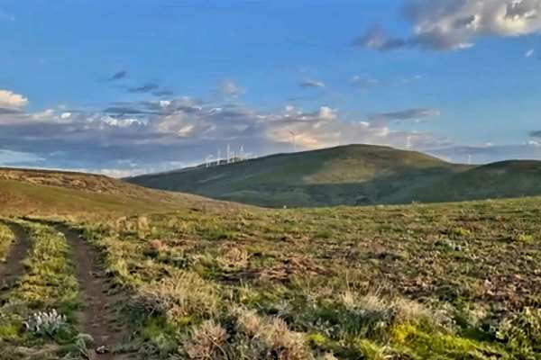
Brewton Road
The sagebrush steppe, with its rocky outcroppings and hidden canyons, presents stunning floral displays in the spring that will leave you in awe. Entire hillsides bloom with the vibrant yellow flowers of the Arrowleaf Balsamroot, creating a beautiful sea of color. To truly appreciate the gentle, rol...
Learn more about Brewton Road
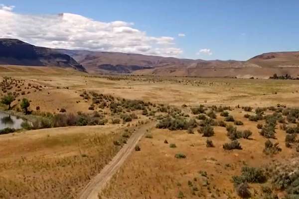
Brewton Gulch Road
The trail features rocky slopes along with rolling ridges and canyons, predominantly covered by shrub-steppe habitat. In the spring, there is an opportunity to see the Hedgehog cactus, which is the only pincushion-type cactus found in Washington State. The Wild Horse Wind Farm, owned and managed by ...
Learn more about Brewton Gulch Road
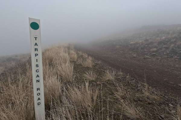
Tarpiscan Road
Tarpiscan Road is an 8.2-mile out-and-back trail beginning at its intersection with Brewton Road. The route descends into a canyon before turning east and wrapping around another ridge to intersect with North Fork Road. Turning right at this intersection, Tarpiscan Road continues for an additional 3...
Learn more about Tarpiscan Road
North Fork Road
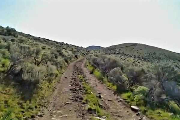
This trail consists of compacted dirt with sharp basalt rocks. There are a few hill climbs and descents. Dust during the summer months is a significant issue; try to maintain distance between vehicles for better visibility. Opportunities for wildflowers in bloom if planning a trip in spring as the e...
Learn more about North Fork Road
Tarpiscan Road Spur
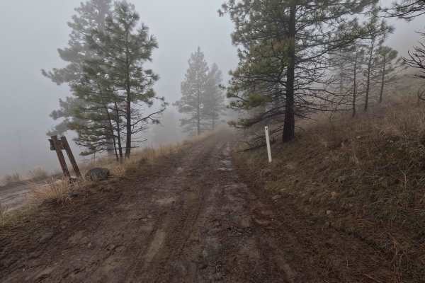
Tarpiscan Road Spur is a 1.2-mile out-and-back trail branching off Tarpiscan Road and following the south fork of Tarpiscan Creek up a valley. Numerous dispersed campsites are available along the route. The trail is a single-lane dirt road with sections of deep rutting and road damage, terminating a...
Learn more about Tarpiscan Road Spur
Little Brush Creek Road
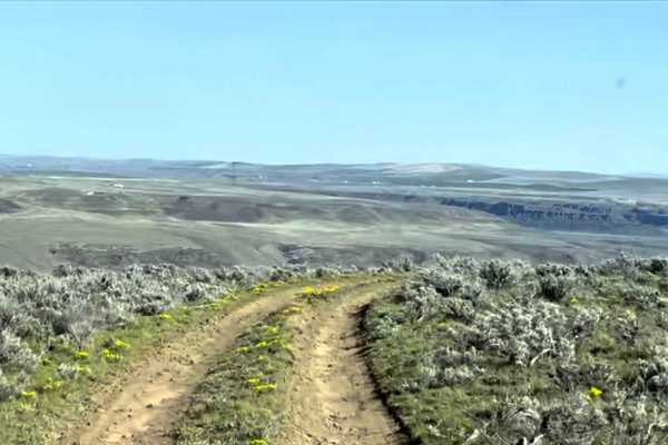
This trail consists of hard-packed dirt and sharp basalt rocks that can easily puncture a tire. It includes steep climbs and descents. It is advisable to carry a spare tire and a tire patch kit. The wide-open terrain offers visibility for many miles in any direction, and there are pullouts available...
Learn more about Little Brush Creek Road
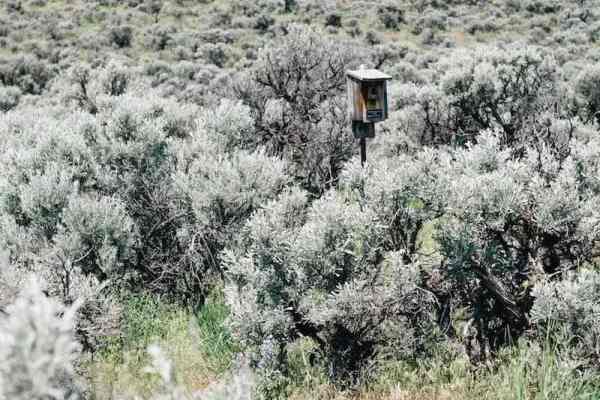
Colokum Road
The trail showcases rocky slopes, rolling ridges, and canyons, predominantly covered by shrub-steppe habitat. It features hard-packed dirt strewn with sharp basalt rocks. The terrain transitions from high desert landscapes to alpine forest. Numerous viewpoints provide stunning vistas of the Cascade ...
Learn more about Colokum Road
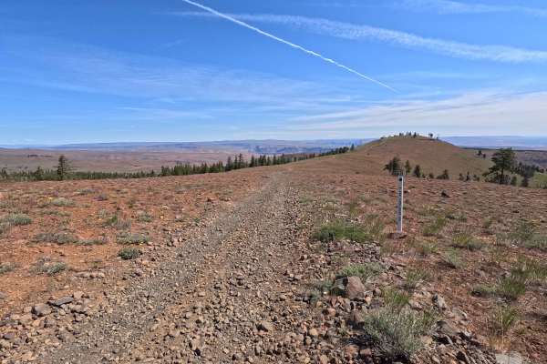
North Fork Spur Road
North Fork Spur Road is a 0.6-mile out-and-back single-lane route that climbs to a summit viewpoint along the top of a ridgeline. The trail is rocky throughout, with a few small rock steps along the climb. It ends just past the summit, where two established fire rings and a viewpoint provide a place...
Learn more about North Fork Spur Road
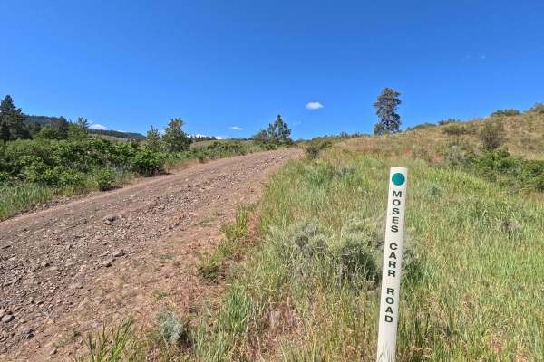
Moses Carr Road
Moses Carr Road is a 6.1-mile point-to-point single-lane route that begins at an intersection with Ingersoll Road before climbing out of a canyon, reaching approximately 4,100 feet before ending at an intersection with Kingsbury Road. The road is rocky and narrow, with a winding climb through the up...
Learn more about Moses Carr Road
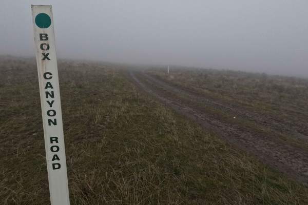
Box Canyon Road
Box Canyon Road is a 2.4-mile out-and-back trail branching off Quilomene Ridge Road and leading to an overlook with views of Box Canyon to the north and the Columbia River Gorge on clear days. The road surface begins as dirt with embedded rocks and sections of ruts that can become muddy following we...
Learn more about Box Canyon Road
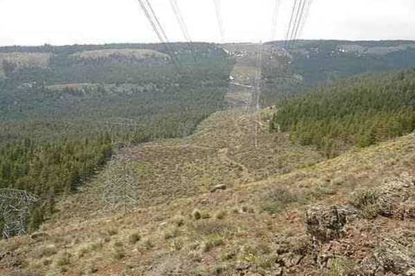
Powerline Road
The trail can accommodate 1 to 2 vehicles, depending on the location, and there are many pull-off areas available if needed. Flat tires are a known hazard here due to the sharp basalt rock. The trail runs along a ridge, offering epic views for miles in every direction, along with power lines dotting...
Learn more about Powerline Road
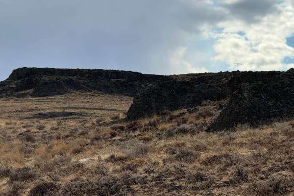
Road 19
Road 19 connects Jackknife Ridge Road to Quilomene Ridge Road. It is a descent into a valley with an ascent on the opposite side. There could be water to cross at the lowest point depending on the season. Depending on the direction expect either a notable decent or asent.
Learn more about Road 19
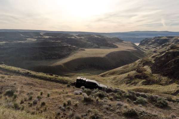
Cayuse Road
Cayuse Road is a rugged, double-track dirt route located within the Whiskey Dick trail. There and back at around 2 miles, the trail cuts through exposed, high-desert shrub-steppe with sweeping views of the Columbia River valley. The terrain is characterized by loose rocks, steep off-camber sections,...
Learn more about Cayuse Road
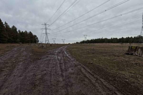
C2350
C2350 is a 3.1-mile point-to-point trail connecting Powerline Road and Brewton Road. Starting from the southwest intersection with Powerline Road, the trail begins as a dirt road winding along a ridgeline. The difficulty quickly increases with a rocky descent leading to a 2-foot drop into a creek cr...
Learn more about C2350
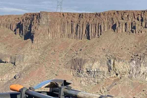
Frenchman Coulee Tour
Most travelers explore the south side of Frenchman Coulee and completely overlook the solitude of the north side. The spur trails lead you to various vantage points along the coulee rim. Each of those spurs lead to potential dispersed campsites right on the cliff edge. The far west side of the route...
Learn more about Frenchman Coulee Tour
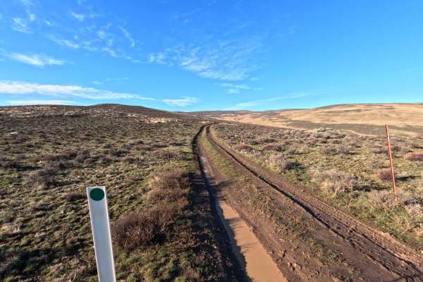
Bohinkleman Road
Bohinckleman Road is a 3-mile point-to-point trail connecting Skookumchuck Crossover Road (identified as Homestead Trail on OnX) to the Wildhorse Wind Farm. A non-hunting recreational permit, available at www.pse.com/wildhorse, is required for wind farm access. The trail follows a ridgeline offering...
Learn more about Bohinkleman Road
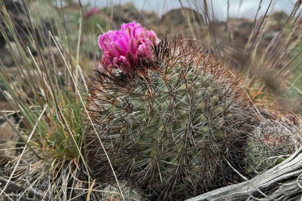
Little Brushy Road via Quilomene Ridge Road
Turning off Quilomene Ridge Road onto Little Brushy Road, the trail descends immediately. It is single-vehicle-wide with some challenging ruts and no good turnaround for the 2.5 miles to the grass meadow. There's one good water crossing with steep approach and departure angles. It's hard to avoid pi...
Learn more about Little Brushy Road via Quilomene Ridge Road
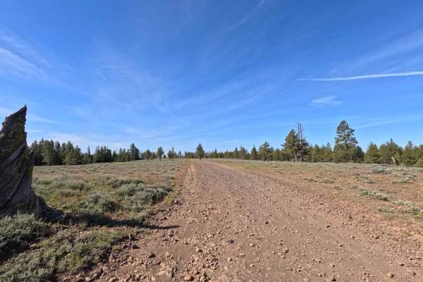
Brushy Road
Brushy Road is a 4.2-mile point-to-point route within the Whiskey Dick Wildlife Area, offering expansive views of the surrounding landscape and access to many dispersed camping sites. The road can be wide in some sections, then narrow and rougher in others, with embedded basalt rock, moderate pothol...
Learn more about Brushy Road
ATV trails near Crescent Bar, Washington
Explore ATV-friendly trails near you. These trails are accessible for vehicles up to 50 inches wide, perfect for ATVs and smaller off-road machines.
Tekison Creek Road
The trail is designated as a green dot road and consists of compacted dirt mixed with sharp basalt rocks, which gives it a difficulty rating of 1. Located in a high desert area, this trail is known for its windy conditions. As you traverse the trail, you'll have the opportunity to see a windmill far...
Learn more about Tekison Creek Road
Road 14.14
Road 14.14 is a 1.3-mile out-and-back trail that follows a ridgeline, ending at a road closed sign near Cape Horn. Offering stunning views of Brewton Gulch to the south and the Columbia River to the north, this trail is a shelf road with sections of small ruts, loose fist-sized rocks, and one mud ho...
Learn more about Road 14.14
Brewton Road
The sagebrush steppe, with its rocky outcroppings and hidden canyons, presents stunning floral displays in the spring that will leave you in awe. Entire hillsides bloom with the vibrant yellow flowers of the Arrowleaf Balsamroot, creating a beautiful sea of color. To truly appreciate the gentle, rol...
Learn more about Brewton Road
Brewton Gulch Road
The trail features rocky slopes along with rolling ridges and canyons, predominantly covered by shrub-steppe habitat. In the spring, there is an opportunity to see the Hedgehog cactus, which is the only pincushion-type cactus found in Washington State. The Wild Horse Wind Farm, owned and managed by ...
Learn more about Brewton Gulch Road
UTV/side-by-side trails near Crescent Bar, Washington
Find UTV and side-by-side trails near you. These trails accommodate vehicles up to 60 inches wide, ideal for UTVs, side-by-sides, and wider off-road rigs.
Tekison Creek Road
The trail is designated as a green dot road and consists of compacted dirt mixed with sharp basalt rocks, which gives it a difficulty rating of 1. Located in a high desert area, this trail is known for its windy conditions. As you traverse the trail, you'll have the opportunity to see a windmill far...
Learn more about Tekison Creek Road
Road 14.14
Road 14.14 is a 1.3-mile out-and-back trail that follows a ridgeline, ending at a road closed sign near Cape Horn. Offering stunning views of Brewton Gulch to the south and the Columbia River to the north, this trail is a shelf road with sections of small ruts, loose fist-sized rocks, and one mud ho...
Learn more about Road 14.14
Brewton Road
The sagebrush steppe, with its rocky outcroppings and hidden canyons, presents stunning floral displays in the spring that will leave you in awe. Entire hillsides bloom with the vibrant yellow flowers of the Arrowleaf Balsamroot, creating a beautiful sea of color. To truly appreciate the gentle, rol...
Learn more about Brewton Road
Brewton Gulch Road
The trail features rocky slopes along with rolling ridges and canyons, predominantly covered by shrub-steppe habitat. In the spring, there is an opportunity to see the Hedgehog cactus, which is the only pincushion-type cactus found in Washington State. The Wild Horse Wind Farm, owned and managed by ...
Learn more about Brewton Gulch Road
The onX Offroad Difference
onX Offroad combines trail photos, descriptions, difficulty ratings, width restrictions, seasonality, and more in a user-friendly interface. Available on all devices, with offline access and full compatibility with CarPlay and Android Auto. Discover what you're missing today!
Open Trail Map