
Dirt Bike Trails
Near Coaldale, Colorado
Explore All Dirt Bike Trails Near Coaldale, Colorado
Dirt Bike Trails Near Coaldale, Colorado
Discover the best dirt bike trails near you. Browse trail maps, check difficulty ratings, and find your next adventure — whether you're looking for a quick ride or an all-day expedition.
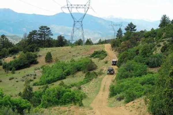
Badger Creek
An easy and fairly scenic Jeep trail.Badger Creek has nothing above timberline, but is a nice drive along Sand Gulch, with lots of open views along the north segment that follows the powerline. You cross under powerlines many times as the trail roughly follows them. There are a few rocks embedded in...
Learn more about Badger Creek
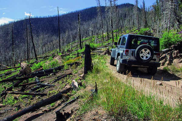
Hayden Pass
This is a fun trail that starts climbing the north face at the Forest Service campground. The area is in recovery from a fire, and some wildflowers are beginning to grow back. If you want to picnic, you'll find a great little spot just left of Villa Grove.
Learn more about Hayden Pass
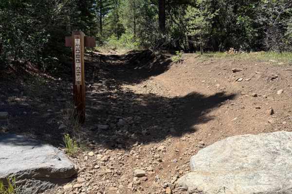
Rainbow Trail
This is a very popular segment of the 100-mile-long Rainbow Trail. The Hayden Creek trailhead is easily accessible in any vehicle with ample parking. There is also spectacular free and paid camping opportunities in the immediate area. The trail starts out with about 4 miles of climbing. There are a ...
Learn more about Rainbow Trail
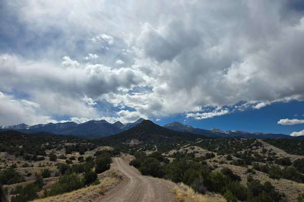
Kerr Gulch - BLM 6110
Kerr Gulch - BLM 6110 is a scenic dirt trail that is easy. The road is located outside the town of Howard, CO, and accessible just off of Highway 50. Starts mellow and open. Gradually climbs into tighter, more enclosed terrain. Eventually reaches restricted or closed sections. Classic Texas Creek hi...
Learn more about Kerr Gulch - BLM 6110
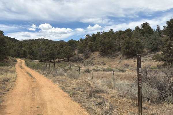
BLM 6195A
Easy-to-moderate dirt trail located off U.S. Highway 50 near the town of Coaldale, Colorado. This route travels through rugged terrain featuring rocky sections, mild technical obstacles, and a variety of dispersed camping opportunities along the way. Drivers are rewarded with expansive mountain view...
Learn more about BLM 6195A
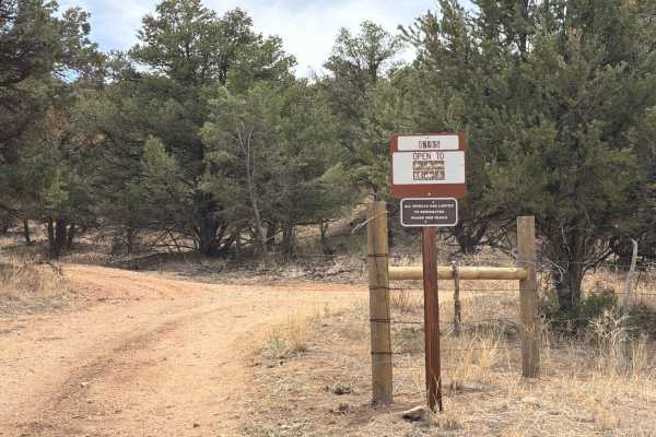
BLM 6195
Easy-to-moderate, out-and-back dirt trail located off of U.S. Highway 50 outside the town of Coaldale, Colorado. This route travels through rugged terrain featuring rocky sections, mild technical obstacles, and a variety of dispersed camping opportunities along the way. Drivers are rewarded with exp...
Learn more about BLM 6195
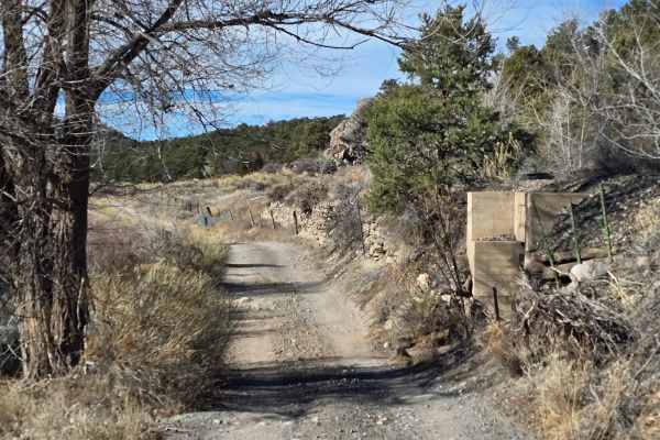
Lower Badger Creek
This scenic route follows Lower Badger Creek along the Arkansas River, winding through open river valleys, cottonwood groves, and rolling foothills just west of Salida. The road is primarily dirt and gravel, generally smooth with gentle grades, shallow ruts, and occasional loose rock, making it acce...
Learn more about Lower Badger Creek
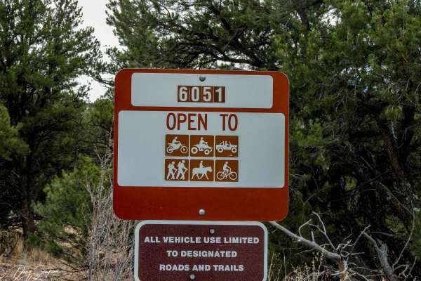
BLM 6051
This is an easy trail. At the top of the trail, there is a T intersection;the loop to the right is not traveled very much and can be hard to follow. On the road to the left, there is a Y intersection. The righthand goes about 50 yards and dead ends, while the left fork gets narrow towards the end an...
Learn more about BLM 6051
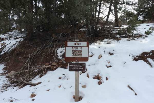
BLM 6012
This trail is easy when dry but requires 4WD if snowy. The route travels through pine forest and has some good views to the south. At the T intersection, if you go right it goes a short distance back to the main road. Going left, you can make a loop further up the mountain and come out on the main r...
Learn more about BLM 6012
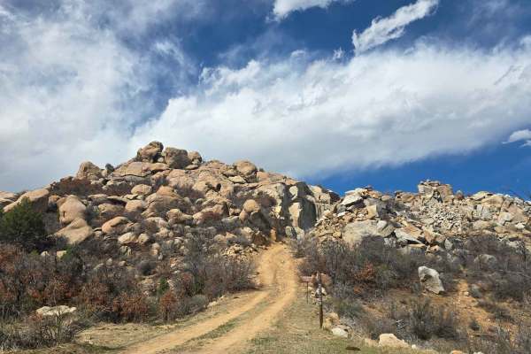
BLM 6108
Easy-to-moderate, out-and-back single-lane dirt trail located off McCoy Gulch Road outside the town of Cotopaxi, Colorado. The route winds through rugged terrain featuring unique rock formations, narrow sections, and scenic overlooks of the surrounding mountain range. Along the drive, visitors can e...
Learn more about BLM 6108
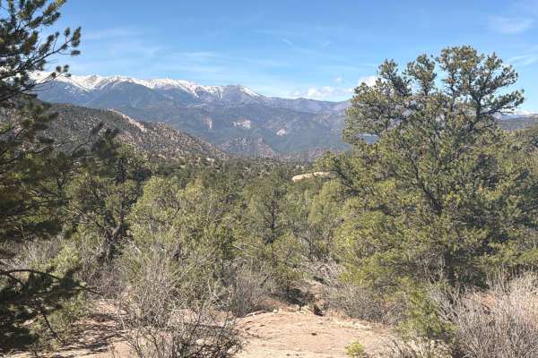
Sand Road - BLM 5980
Easy dirt road located near Vallie Bridge, just after Coaldale, CO, if you are traveling west on Highway 50. If you are traveling from the Coaldale side, look for the sign Sand Rd. If you are coming from the Howard, CO side, the trail is more sandy and cuts through private property; please stay on t...
Learn more about Sand Road - BLM 5980
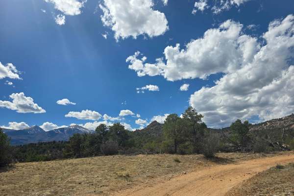
BLM 6210
Easy to moderate, out and back, dirt trail off of Highway 50 near the town of Cotopaxi. Dirt, loose gravel, and occasional embedded rock. Scenic route with mountain views, Piñon-juniper woodland, unique rock structures, and dispersed camping spots. The trail does get tight and shrubby towards the pe...
Learn more about BLM 6210
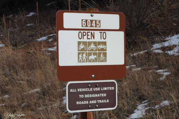
BLM 6045
This is a fun easy road. 4WD is only needed if it's snowy. The trail travels up to the top of the mountain where there are some good views, and then it travels down a valley to the end of the road. Down towards the end of the trail, there is a narrow spot between two large boulders that may not be w...
Learn more about BLM 6045
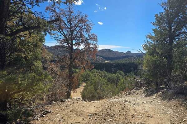
South Fern Leaf Gulch Road - BLM 6140
A hidden, easy-to-moderate dirt trail off of Highway 50 West between the towns of Texas Creek and Cotopaxi. Once you turn off Highway 50, there is a gate you open to access, but please close it after entering the trail. Dirt, loose gravel, and occasional embedded rock. Scenic route with mountain vie...
Learn more about South Fern Leaf Gulch Road - BLM 6140
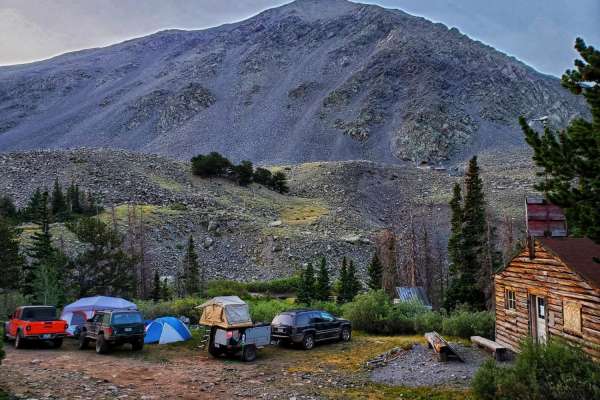
Cloverdale Mine
The road to Cloverdale Mine is a fun-filled drive with gorgeous, Rocky Mountain views, a glimpse of the rich mining history of Westcliffe, CO and a couple small spots that will require some technical driving skills. This rocky, 7.7-mile trail ends with a short hike to Cloverdale Mine. The out-and-ba...
Learn more about Cloverdale Mine
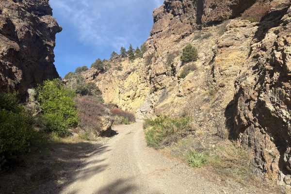
BLM 5971
Easy-to-moderate trail located off U.S. Highway 50 via Box Canyon Road just outside the town of Wellsville, Colorado. The trail begins with a striking, unique rock formation before narrowing into the canyon, where it winds through rugged terrain featuring rocky obstacles, uneven surfaces, and off-ca...
Learn more about BLM 5971
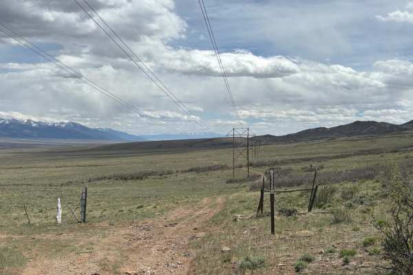
Wild Bill Gulch Road
This route works its way through the base of the foothills of the Sawatch Range, right above (and eventually down to) the open plains below. As you make your way through this rugged terrain, you'll see sweeping views of the surrounding peaks in both the Sawatch and Sangre de Cristo mountain ranges. ...
Learn more about Wild Bill Gulch Road
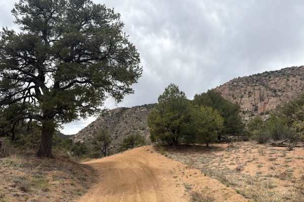
BLM 6020A
Easy, out-and-back dirt trail located in the Texas Creek Off Highway Vehicle Recreation Area, spurring off BLM 6020 outside the town of Canon City, Colorado. The trail consists of rutted areas, rocky sections, uneven terrain, and sightseeing opportunities. Gated at the end of the trail due to a priv...
Learn more about BLM 6020A
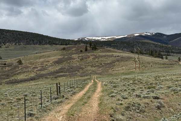
Turquoise Road
This road heads west of Highway 285, across the plains at the foot of the southern Sawatch Range. The road itself is a simple dirt trail that can appear overgrown with scrub at times, making it difficult to see. Along this route, you'll see sweeping views of the surrounding mountain and may encounte...
Learn more about Turquoise Road
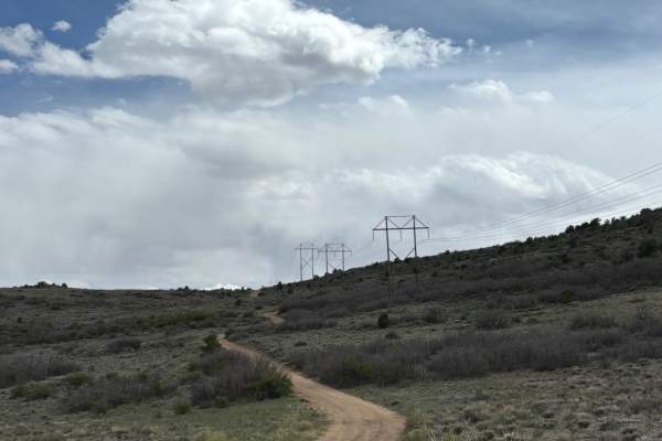
North Turquoise Road
This trail works its way through the open plains between the Sawatch and Sangre de Cristo mountain ranges and falls entirely within BLM, although it passes by a small ranch towards the end. At times, the trail can be hard to see from scrubby overgrowth, but it is generally flat and easy to traverse....
Learn more about North Turquoise Road
ATV trails near Coaldale, Colorado
Explore ATV-friendly trails near you. These trails are accessible for vehicles up to 50 inches wide, perfect for ATVs and smaller off-road machines.
Badger Creek
An easy and fairly scenic Jeep trail.Badger Creek has nothing above timberline, but is a nice drive along Sand Gulch, with lots of open views along the north segment that follows the powerline. You cross under powerlines many times as the trail roughly follows them. There are a few rocks embedded in...
Learn more about Badger Creek
Hayden Pass
This is a fun trail that starts climbing the north face at the Forest Service campground. The area is in recovery from a fire, and some wildflowers are beginning to grow back. If you want to picnic, you'll find a great little spot just left of Villa Grove.
Learn more about Hayden Pass
Kerr Gulch - BLM 6110
Kerr Gulch - BLM 6110 is a scenic dirt trail that is easy. The road is located outside the town of Howard, CO, and accessible just off of Highway 50. Starts mellow and open. Gradually climbs into tighter, more enclosed terrain. Eventually reaches restricted or closed sections. Classic Texas Creek hi...
Learn more about Kerr Gulch - BLM 6110
BLM 6195A
Easy-to-moderate dirt trail located off U.S. Highway 50 near the town of Coaldale, Colorado. This route travels through rugged terrain featuring rocky sections, mild technical obstacles, and a variety of dispersed camping opportunities along the way. Drivers are rewarded with expansive mountain view...
Learn more about BLM 6195A
UTV/side-by-side trails near Coaldale, Colorado
Find UTV and side-by-side trails near you. These trails accommodate vehicles up to 60 inches wide, ideal for UTVs, side-by-sides, and wider off-road rigs.
Badger Creek
An easy and fairly scenic Jeep trail.Badger Creek has nothing above timberline, but is a nice drive along Sand Gulch, with lots of open views along the north segment that follows the powerline. You cross under powerlines many times as the trail roughly follows them. There are a few rocks embedded in...
Learn more about Badger Creek
Hayden Pass
This is a fun trail that starts climbing the north face at the Forest Service campground. The area is in recovery from a fire, and some wildflowers are beginning to grow back. If you want to picnic, you'll find a great little spot just left of Villa Grove.
Learn more about Hayden Pass
Lower Badger Creek
This scenic route follows Lower Badger Creek along the Arkansas River, winding through open river valleys, cottonwood groves, and rolling foothills just west of Salida. The road is primarily dirt and gravel, generally smooth with gentle grades, shallow ruts, and occasional loose rock, making it acce...
Learn more about Lower Badger Creek
BLM 6051
This is an easy trail. At the top of the trail, there is a T intersection;the loop to the right is not traveled very much and can be hard to follow. On the road to the left, there is a Y intersection. The righthand goes about 50 yards and dead ends, while the left fork gets narrow towards the end an...
Learn more about BLM 6051
The onX Offroad Difference
onX Offroad combines trail photos, descriptions, difficulty ratings, width restrictions, seasonality, and more in a user-friendly interface. Available on all devices, with offline access and full compatibility with CarPlay and Android Auto. Discover what you're missing today!
Open Trail Map