
Dirt Bike Trails
Near Chillicothe, Ohio
Explore All Dirt Bike Trails Near Chillicothe, Ohio
Dirt Bike Trails Near Chillicothe, Ohio
Discover the best dirt bike trails near you. Browse trail maps, check difficulty ratings, and find your next adventure — whether you're looking for a quick ride or an all-day expedition.
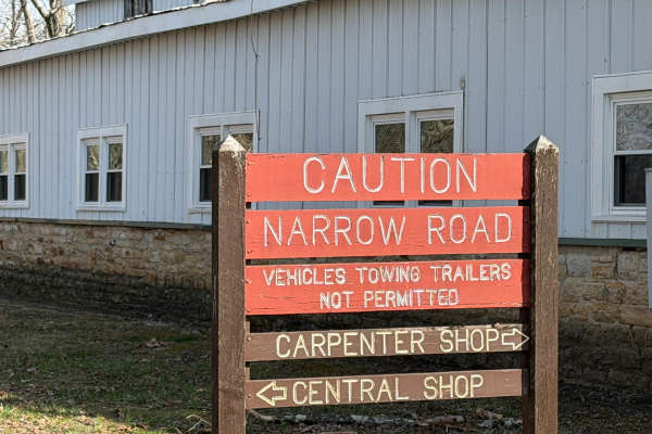
North Ridge Road
Scioto Trail State Park North Ridge Road is a single-lane gravel road that takes the high north ridge through the park. There are several sidings and pull-offs to let other traffic by. This road offers incredible views of the southern Ohio hills. There are several turnouts that offer a nice place to...
Learn more about North Ridge Road
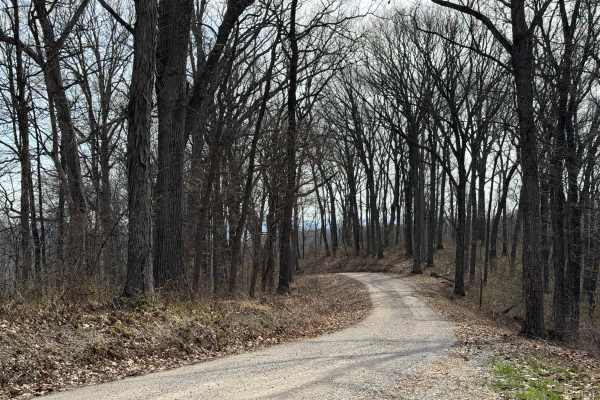
ODNR #4
ODNR #4 Road is a high ridge road that goes through the southernmost portion of Scioto Trail State Forest. The road provides exceptional views of the surrounding hills. There are some road is gravel and generally single lane width. There are a few blind switchbacks, and the road can be muddy and sli...
Learn more about ODNR #4
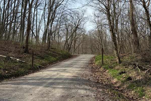
South Ridge Road
In Scioto Trail State Park, South Ridge Road snakes its way along the high south ridge of the park. The road is gravel and generally single-lane. There are multiple sidings and turnouts to let vehicles pass or just stop and enjoy the scenery. The road is not maintained in the winter months. The road...
Learn more about South Ridge Road
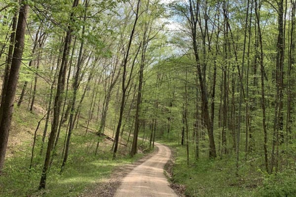
Park Road 39
This route is for anyone that wants to rip a rally-like road, and experience the great scenery and wildlife Ohio can offer! This gravel route is very loose and has a few washouts. It also has two hairpin turns that may require some two-point turns for big or full-sized rigs. This trail is accessible...
Learn more about Park Road 39
Turkey Run Road
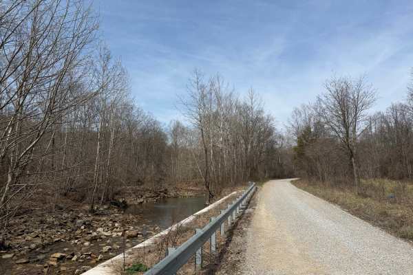
Turkey Run Road is a leisurely gravel road that provides beautiful views of Pee Pee Creek and the Hawe Fork of Pee Pee Creek. (Yes, that is the actual name of the creek.) The road turns and puts you into mature forest along Turkey Run. The road is generally single-lane wide. Excellent route for gett...
Learn more about Turkey Run Road
Vinton County Tunnels Tour Part 1
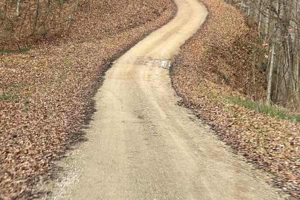
Vinton County Tunnels Tour Part 1 is an easy, scenic 15.3-mile off-road route through the historic Appalachian foothills of southeastern Ohio. Beginning at the Lake Hope State Park Lodge, this counterclockwise journey winds south through Vinton County's dense woodlands on primarily unpaved and grave...
Learn more about Vinton County Tunnels Tour Part 1
Vinton County Tunnels Tour Part 2
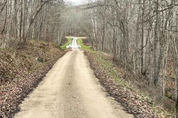
This is Radcliff to Campbell Tunnel Vinton County Tunnel Loop West. This starts at Lake Hope in this section and runs counterclockwise south through Vinton county passing Campbell Tunnel which was recently closed through the Appalachian Foothills. Gas and food can be found along the way. Good for a ...
Learn more about Vinton County Tunnels Tour Part 2
Vinton County Tunnel Tour Part 3
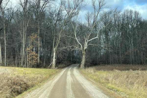
This 22.8-mile point-to-point route offers a mild drive through historic Appalachian railway landmarks in Vinton County. Starting in Wilkesville, the route travels north through forested hills, connecting to the historic Moonville and Kings Hollow tunnels. The unpaved route is suitable for most stoc...
Learn more about Vinton County Tunnel Tour Part 3
James Road
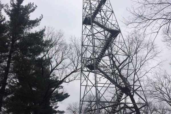
You'll find a couple of small water crossings on this easy trail. It will be slippery when wet or snowy. It's right off of a gravel road and takes you to some very nice ponds. It does have couple of steep hills with ruts and is narrow. Full-size vehicles will fit but you may get some scratches.
Learn more about James Road
Brady Fork
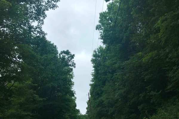
This trail features giant rock formations, partially washed-out roads, deep ravines, high-water crossings, and muddy ruts. After turning right onto Brady Fork Road, keep right where the left side has washed away, as the drop leads into a deep ravine running alongside the road. Multiple pull-off area...
Learn more about Brady Fork
Telegraph Trail
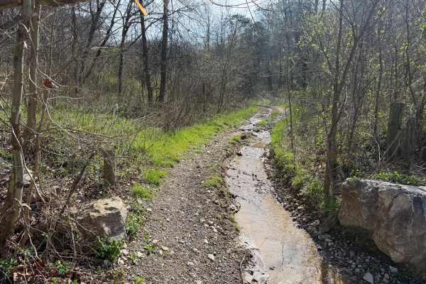
Telegraph Trail (FS 15) is a solid choice for ATV and dirtbike riders looking for a moderately challenging OHV trail in southeastern Ohio. Winding through the Ironton Ranger District of Wayne National Forest, this route delivers classic Appalachian terrain with just enough technical features to keep...
Learn more about Telegraph Trail

Wolcott Trail
This trail has ups and downs, switchbacks, mud, water, and a few high-speed straights on the ridge tops. The trail is generally wide enough to allow other riders to pass. The Trail cuts through Pine Creek Wetland and can offer some great wildlife viewing. There are some beautiful views from the ridg...
Learn more about Wolcott Trail
Lyra Trail
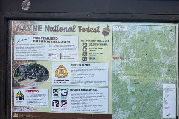
Lyra Trail is a solid pick for ATV and dirtbike riders looking for a moderate challenge deep in the Ironton Ranger District of Wayne National Forest. Twisting through southeastern Ohio’s wooded hills, this narrow forest route delivers a mix of rutted dirt, rocky patches, and the occasional muddy was...
Learn more about Lyra Trail
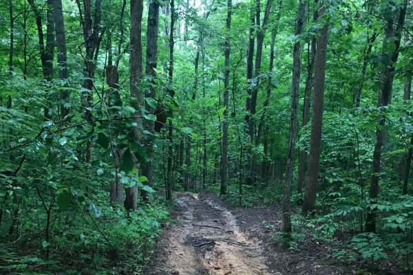
Vernon-Painter Creek Road
Turn right off Telegraph Hill Road onto Vernon-Painter Creek Road. Along the route, a small pull-off provides access to an ATV path leading to an abandoned CH&P railroad tunnel, one of several in the area. Continue through the deep, dark forest, then turn left onto the side road and follow the unmai...
Learn more about Vernon-Painter Creek Road
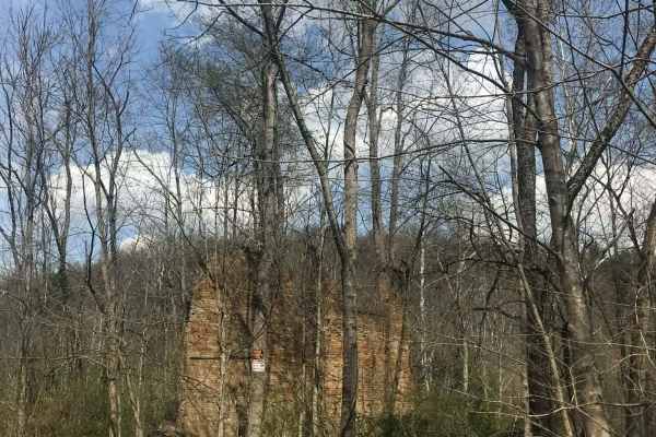
Rock Run
Rock Run is a shortcut gravel road that will take you off the pavement and down some old back road that will take you longer to get where you are going, but worth the views you will see. When you turn on Rock Run, you'll continue straight into a section of Wayne National Forest with a piece of hist...
Learn more about Rock Run
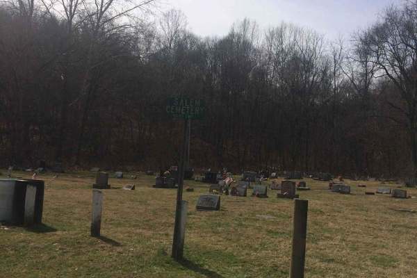
Salem
If you're into driving down some old back roads and running the outskirts of Wayne National Forest this trail has a lot to offer you. Even though it's an easy trail you will find yourself driving through gravel roads with all kinds of unique rock formations and some of the most beautiful trees. At s...
Learn more about Salem
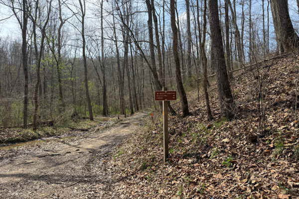
Wolcott Loop
This trail is a short loop with a spur that connects the Wolcott Trailhead with the rest of the main trail system. Coming from the trailhead, the north side offers a steep rocky ascent, and the south leg takes you across the bottoms to the Walcott Trail Connector, which in turn takes you to the Bear...
Learn more about Wolcott Loop
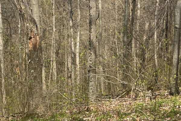
Morrell Hollow
A mixture of mud and off-camber areas with some steep rocky climbs, this trail will test the typical factory-built rig. It starts near an old hunting cabin and continues into the forest past an old cemetery. It is a great trail, however, about halfway down, it is blocked due to tornado damage. There...
Learn more about Morrell Hollow
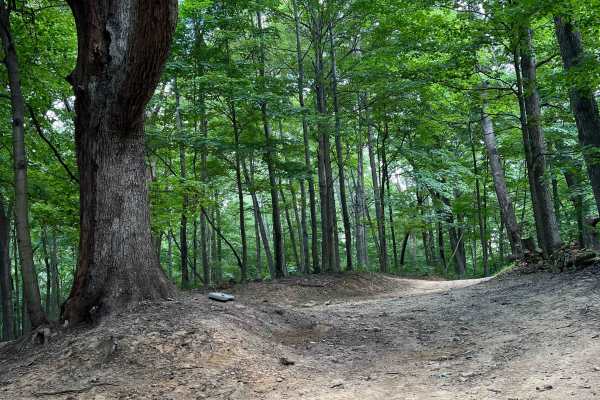
Potter's Hollow
First and foremost, I recommend downloading offline maps prior to any excursion however especially for this area. There is no cell service for about 5 miles out in any direction near this assortment of trails. Overall its a fairly easy trail, some narrow parts that will give you some pin-striping an...
Learn more about Potter's Hollow
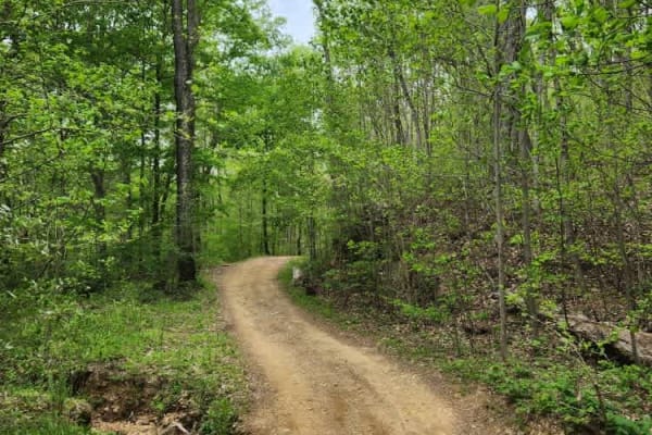
Tobe Lewis Road
This is an offroad paradise for people who want to enjoy nature but don't have built rigs. The trail will give you off-camber ruts through mudholes as well as rocky hill climbs with great views of the outskirts of the Shawnee State Forest. Do not attempt this in a 2WD vehicle or a truck that does no...
Learn more about Tobe Lewis Road
ATV trails near Chillicothe, Ohio
Explore ATV-friendly trails near you. These trails are accessible for vehicles up to 50 inches wide, perfect for ATVs and smaller off-road machines.
James Road
You'll find a couple of small water crossings on this easy trail. It will be slippery when wet or snowy. It's right off of a gravel road and takes you to some very nice ponds. It does have couple of steep hills with ruts and is narrow. Full-size vehicles will fit but you may get some scratches.
Learn more about James Road
Brady Fork
This trail features giant rock formations, partially washed-out roads, deep ravines, high-water crossings, and muddy ruts. After turning right onto Brady Fork Road, keep right where the left side has washed away, as the drop leads into a deep ravine running alongside the road. Multiple pull-off area...
Learn more about Brady Fork
Telegraph Trail
Telegraph Trail (FS 15) is a solid choice for ATV and dirtbike riders looking for a moderately challenging OHV trail in southeastern Ohio. Winding through the Ironton Ranger District of Wayne National Forest, this route delivers classic Appalachian terrain with just enough technical features to keep...
Learn more about Telegraph Trail
Wolcott Trail
This trail has ups and downs, switchbacks, mud, water, and a few high-speed straights on the ridge tops. The trail is generally wide enough to allow other riders to pass. The Trail cuts through Pine Creek Wetland and can offer some great wildlife viewing. There are some beautiful views from the ridg...
Learn more about Wolcott Trail
UTV/side-by-side trails near Chillicothe, Ohio
Find UTV and side-by-side trails near you. These trails accommodate vehicles up to 60 inches wide, ideal for UTVs, side-by-sides, and wider off-road rigs.
Park Road 39
This route is for anyone that wants to rip a rally-like road, and experience the great scenery and wildlife Ohio can offer! This gravel route is very loose and has a few washouts. It also has two hairpin turns that may require some two-point turns for big or full-sized rigs. This trail is accessible...
Learn more about Park Road 39
James Road
You'll find a couple of small water crossings on this easy trail. It will be slippery when wet or snowy. It's right off of a gravel road and takes you to some very nice ponds. It does have couple of steep hills with ruts and is narrow. Full-size vehicles will fit but you may get some scratches.
Learn more about James Road
Brady Fork
This trail features giant rock formations, partially washed-out roads, deep ravines, high-water crossings, and muddy ruts. After turning right onto Brady Fork Road, keep right where the left side has washed away, as the drop leads into a deep ravine running alongside the road. Multiple pull-off area...
Learn more about Brady Fork
Rock Run
Rock Run is a shortcut gravel road that will take you off the pavement and down some old back road that will take you longer to get where you are going, but worth the views you will see. When you turn on Rock Run, you'll continue straight into a section of Wayne National Forest with a piece of hist...
Learn more about Rock Run
The onX Offroad Difference
onX Offroad combines trail photos, descriptions, difficulty ratings, width restrictions, seasonality, and more in a user-friendly interface. Available on all devices, with offline access and full compatibility with CarPlay and Android Auto. Discover what you're missing today!
Open Trail Map