Brady Fork

Total Miles3.1
Technical Rating
2Easy
Best TimeSummer, Fall
Trail TypeFull-Width Road
Accessible By
Open Trail Map

Trail Overview

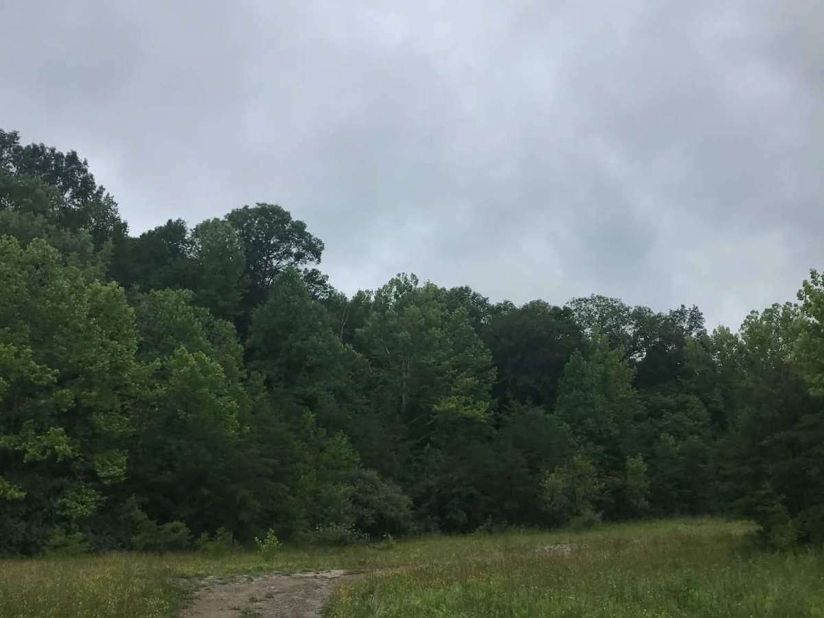
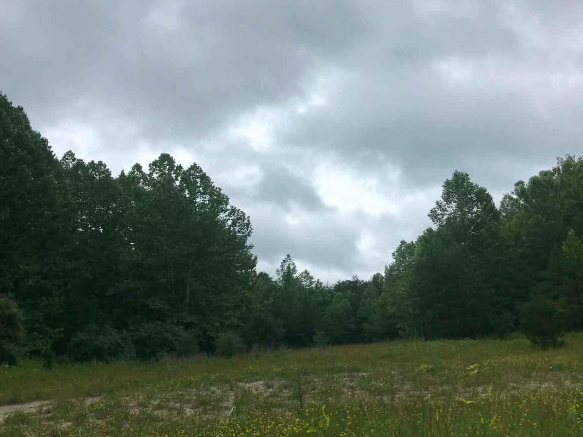
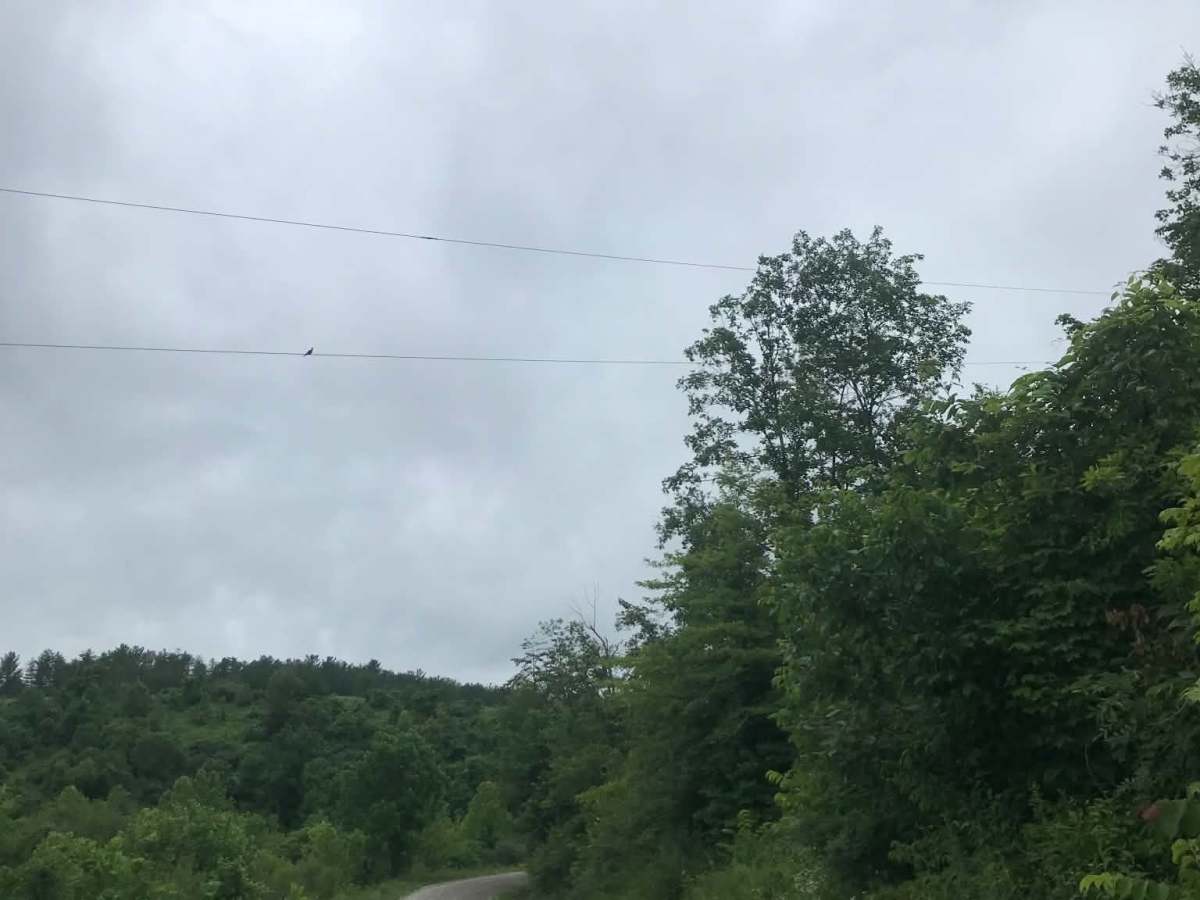
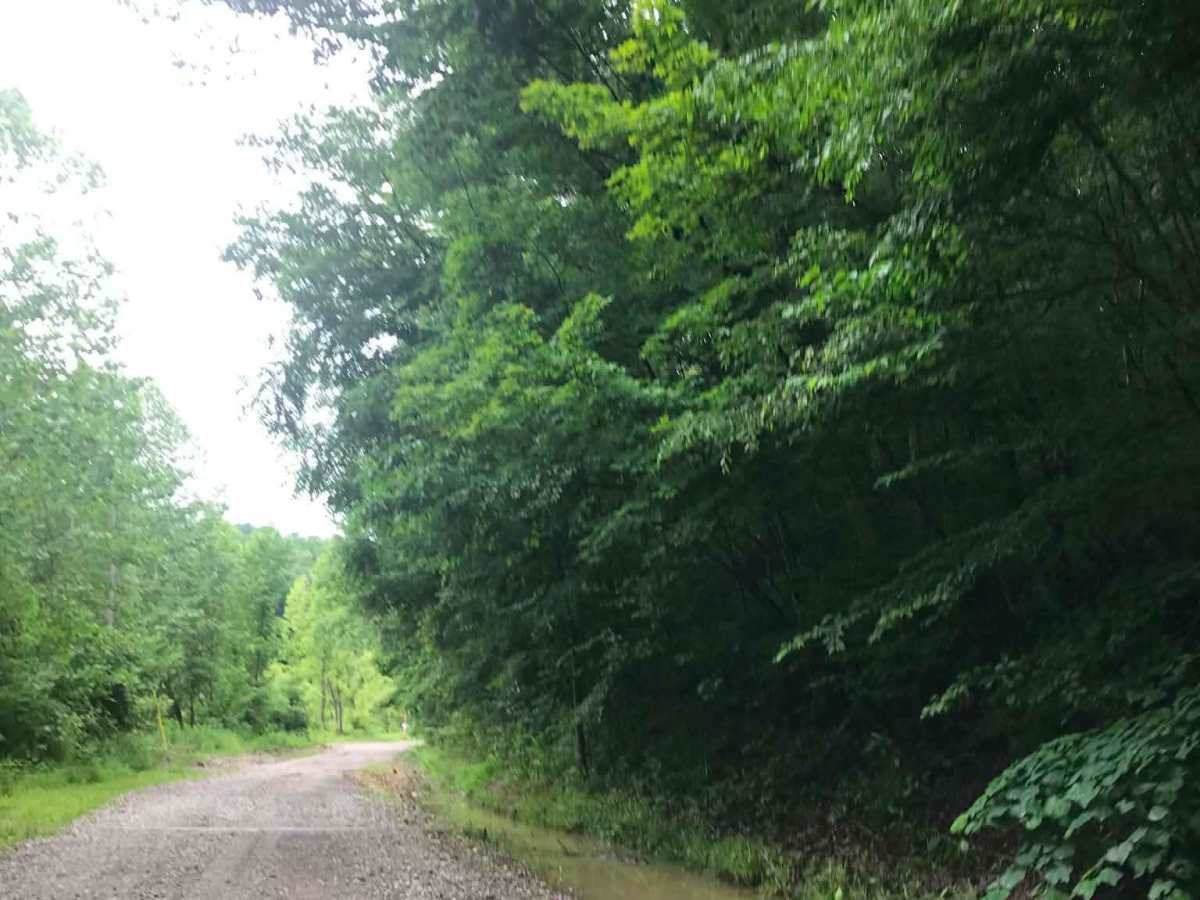
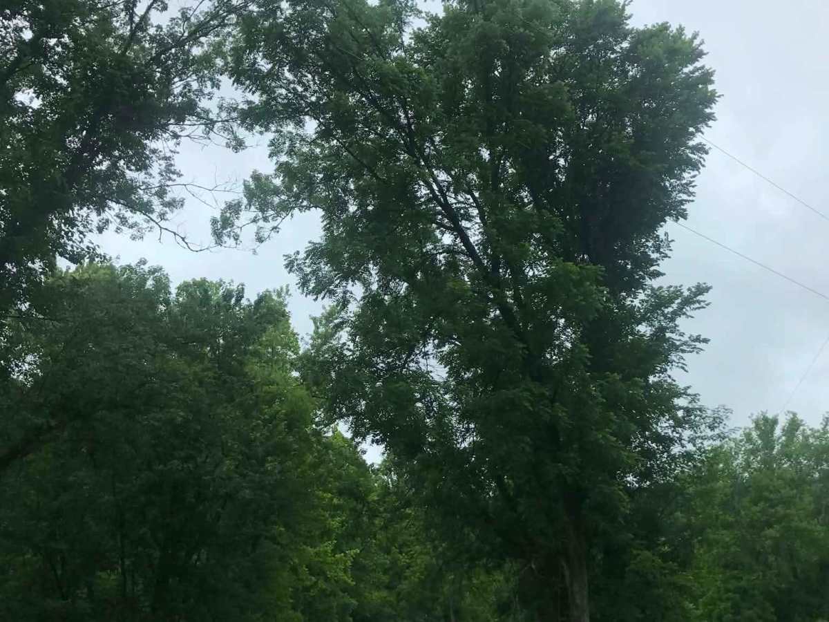
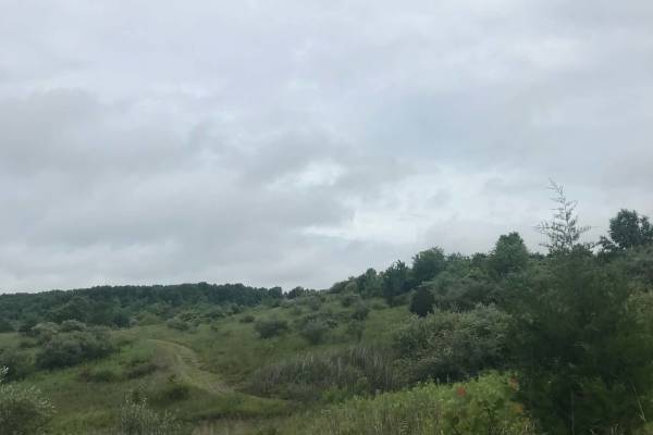
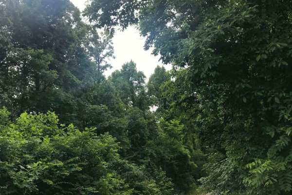
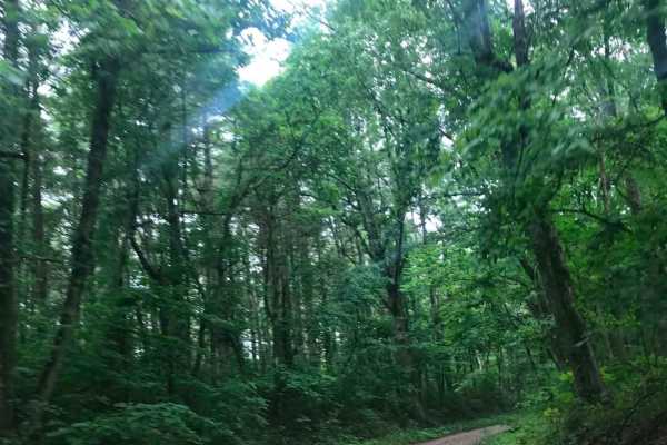
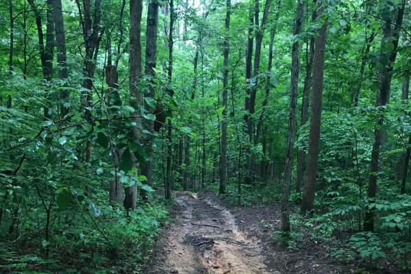
This trail features giant rock formations, partially washed-out roads, deep ravines, high-water crossings, and muddy ruts. After turning right onto Brady Fork Road, keep right where the left side has washed away, as the drop leads into a deep ravine running alongside the road. Multiple pull-off areas are available on both sides for resting or camping among the surrounding rock formations, and dirt bike trails can also be found along the route.

Photos of Brady Fork

Difficulty

Sections of this road are partially washed out, extremely rough, and susceptible to flash flooding. Severe weather can cause additional washouts and make travel more difficult.

Technical Rating

2

Brady Fork Trail can be accessed by the following ride types:

  • Single Track
  • 50 Inch
  • 60 Inch
  • High Clearance
  • Full Width

Brady Fork Map

The onX Offroad Difference

onX Offroad combines trail photos, descriptions, difficulty ratings, width restrictions, seasonality, and more in a user-friendly interface. Available on all devices, with offline access and full compatibility with CarPlay and Android Auto. Discover what you're missing today!

Open Trail Map