
Dirt Bike Trails
Near Calabasas, California
Explore All Dirt Bike Trails Near Calabasas, California
Dirt Bike Trails Near Calabasas, California
Discover the best dirt bike trails near you. Browse trail maps, check difficulty ratings, and find your next adventure — whether you're looking for a quick ride or an all-day expedition.
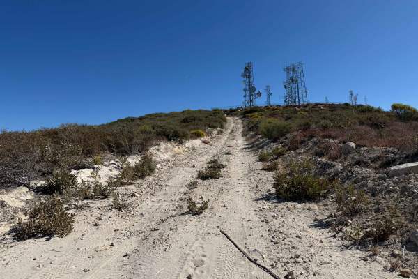
Magic Mountain Summit Trail
Magic Mountain Summit Trail is a 9.2-mile route traversing the scenic Magic Mountain Wilderness within the Angeles National Forest. Beginning near Magic Mountain Peak, the trail descends 2,610 feet to an access road at the base, which is gated and may or may not be open depending on conditions. This...
Learn more about Magic Mountain Summit Trail

Coarse Gold Road 5N24
This trail is a short connector and gatekeeper to Del Sur Ridge 6N18. A couple of points feature nice views of surrounding canyons and chaparral. Deep ruts and erosion give this trail a bit of difficulty, and high clearance is strongly recommended. To prevent damage, avoid this trail after moderate ...
Learn more about Coarse Gold Road 5N24
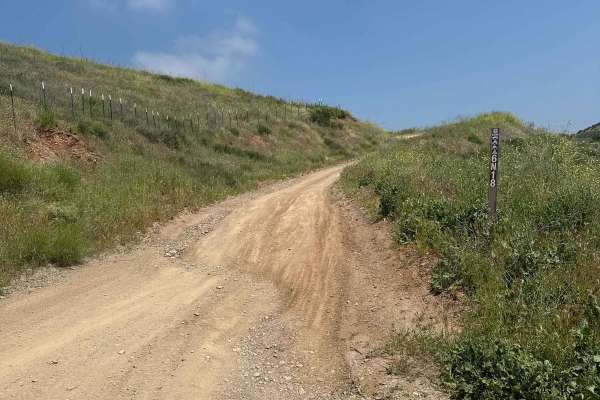
Del Sur Ridge - FS 6N18
Del Sur Ridge (FS 6N18) is a scenic 9.3-mile ridge-line route in the Angeles National Forest, perfect for intermediate drivers seeking expansive canyon vistas and a taste of technical terrain. Offering panoramic views of chaparral-covered ridges and the distant Los Angeles Aqueduct, this trail provi...
Learn more about Del Sur Ridge - FS 6N18

Drinkwater Trail
The trail starts with a moderate incline followed by a sharp right turn. A few sections have steep inclines and declines that look intimidating but offer good traction. It can be completed with a stock high-clearance 4x4, though some spots may feel more comfortable in 4x4 Low. There are also nice mo...
Learn more about Drinkwater Trail
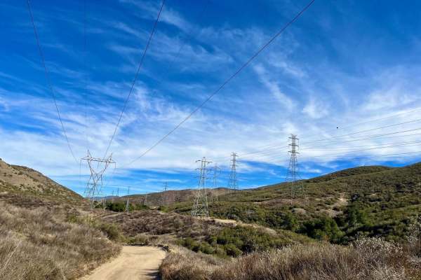
City Highline Road
City Highline Road offers a scenic dirt-road driving experience perfect for those looking to escape the busier trails around Santa Clarita. This non-technical route stretches for approximately 9.5 miles as it winds along the rugged hills of San Francisquito Canyon, closely following the utility powe...
Learn more about City Highline Road
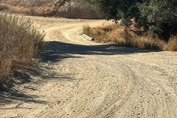
Lower City Highline Road
This is an easy dirt road following the power lines into Santa Clarita. The trail offers nice views of the surrounding mountains and has many small side roads, mostly leading to powerline pads. It’s fairly well maintained, accessible in dry conditions with a two-wheel drive vehicle, and ideal for a ...
Learn more about Lower City Highline Road

San Francisquito Motorway
This is a relatively easy dirt road just outside Santa Clarita. It is usually low-traffic, and the main road doesn't even require 4x4. There are however several side trails (mostly short) that are steep, rutted, and require 4x4 and in some cases a rear locker. There are plenty of turnouts and viewpo...
Learn more about San Francisquito Motorway
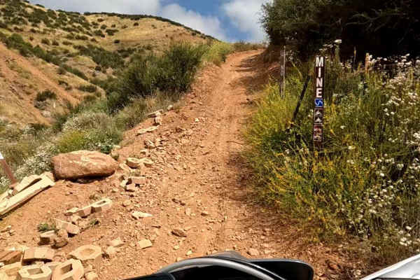
Mine OHV Trail
Mine OHV Trail delivers a well-rounded off-road experience that blends moderate technical challenges with a constantly changing landscape, making it a standout route in the Rowher Flats OHV area. Designed for dirt bikes and ATVs, this medium-difficulty trail keeps riders engaged as it traverses a va...
Learn more about Mine OHV Trail
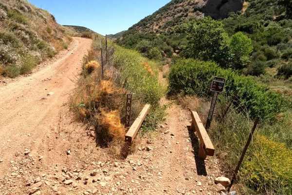
Silverking
Silverking is an enjoyable dirt bike-only trail with easy access from FS 5N14 in the Rowher Flats OHV Area. This two-way trail runs primarily east/west and can be ridden comfortably in either direction. From the east, it begins at the southwest corner off FS 5N14 and travels parallel along the hills...
Learn more about Silverking
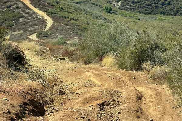
Deer Trail
Some sections of this trail feature steep inclines and declines with loose rocks, but overall, it offers good traction. Airing down your tires will provide a more comfortable ride and better grip on the steep sections. The trail can be completed with a stock high-clearance 4x4, though some spots may...
Learn more about Deer Trail
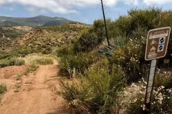
Broken Spoke OHV Trail
Broken Spoke OHV Trail is a challenging, high-reward loop that pushes riders into more technical territory while still remaining accessible to experienced intermediates. Designed for dirt bikes and ATVs, this medium-to-hard difficulty trail offers a dynamic ride through the rugged terrain of Rowher ...
Learn more about Broken Spoke OHV Trail
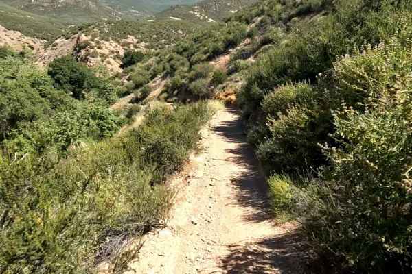
Flat OHV Trail
Flat OHV Trail is a dirt bike and ATV-only trail. It is really fun and flowing, taking riders through the lower elevations of Rowher Flats OHV Area. Rideable by just about any skill level, there is nothing too challenging along this trail for even beginner riders. It is rated a "blue" trail by the p...
Learn more about Flat OHV Trail
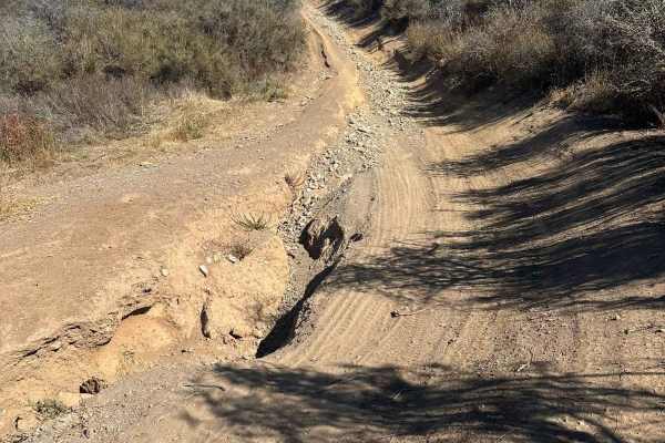
House Trail
This is a short but fun trail connecting the Highline Trail to the Deer Trail. The route includes a few challenging spots with deep ruts, rocks, and off-camber sections. It is suitable for high-clearance stock 4x4 vehicles. Take it slow through the trickier areas, but overall it’s a rewarding and en...
Learn more about House Trail
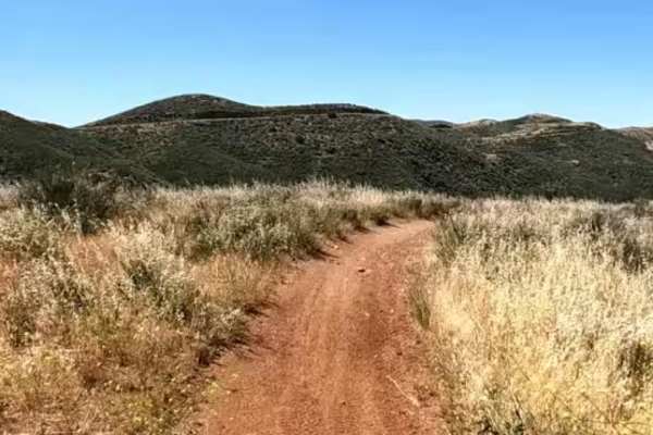
Texas OHV Trail
Texas OHV Trail is like a main artery trail through the riding area. There are a number of connecting trails to this one that make for some great rides. Texas OHV is a two-way dirt bike and ATV-only trail. This two-way trail runs primarily northeast to southwest and can be ridden comfortably in eith...
Learn more about Texas OHV Trail
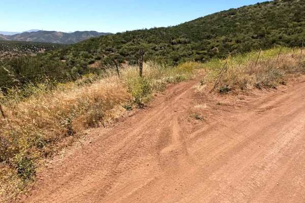
Spring OHV Trail
Spring OHV Trail is a fun connector between Staging Area #1 and Staging Area #3. This is a two-way dirt bike and ATV trail with some really fun twists and turns. Nice and flowing, this trail would be great for a seasoned beginner to level up their riding. There are a couple of sections that are tigh...
Learn more about Spring OHV Trail
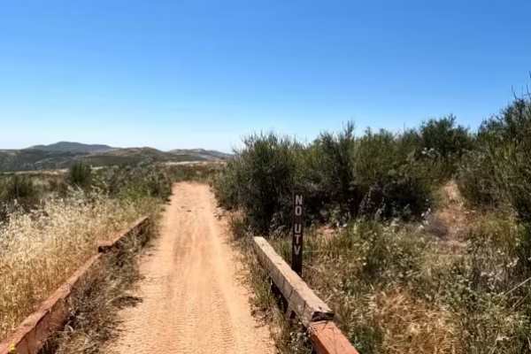
Arc OHV Trail
A fun and easy trail close to the staging areas. This is a two-way dirt bike and ATV trail. One end is just to the south of Staging Area #1. The other end is at FS 5N14, close to both Stage and Flat OHV trails. Mostly flat with nice winding turns, this is a great trail for beginners as both ends mee...
Learn more about Arc OHV Trail
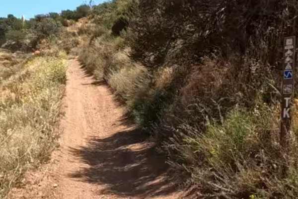
TK OHV Trail
This is a short connector trail between staging area #1 and FS 5N14. This is a dirt bike and ATV-only trail that gets you off the main road away from 4x4 and SxS traffic. This trail has a "blue" rating, but just about anyone can ride this one. It is very easy, with a few gentle ups and downs, to kee...
Learn more about TK OHV Trail
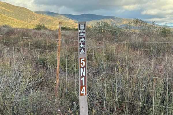
Texas Canyon Road 5N14
Texas Canyon Road is the north fork continuing from Rush Canyon Road. During most of the year, this road is an easy road to get to Rowher Flats black diamond trail and the open play area in Rowher Flats OHV area in 2WD. During wet seasons and snow season, the road can become very rutted and washed o...
Learn more about Texas Canyon Road 5N14
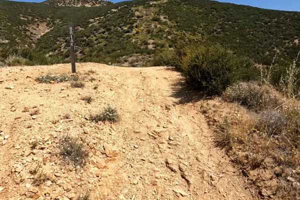
Break OHV Trail
Break OHV Trail is a relentless climb that lives up to its name, delivering a sustained, hard-charging ascent all the way to the upper ridge trails of Rowher Flats. Built for dirt bikes and ATVs, this hard-difficulty route is not about cruising—it’s about commitment, control, and endurance from bott...
Learn more about Break OHV Trail
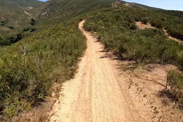
Coyote OHV Trail
Coyote OHV Trail is a short but highly enjoyable climb that packs a surprising amount of character into its compact length. Designed for dirt bikes and ATVs, this medium-difficulty trail is mostly uphill, delivering a steady ascent that encourages momentum from start to finish. The trail’s defining ...
Learn more about Coyote OHV Trail
ATV trails near Calabasas, California
Explore ATV-friendly trails near you. These trails are accessible for vehicles up to 50 inches wide, perfect for ATVs and smaller off-road machines.
Magic Mountain Summit Trail
Magic Mountain Summit Trail is a 9.2-mile route traversing the scenic Magic Mountain Wilderness within the Angeles National Forest. Beginning near Magic Mountain Peak, the trail descends 2,610 feet to an access road at the base, which is gated and may or may not be open depending on conditions. This...
Learn more about Magic Mountain Summit Trail
Coarse Gold Road 5N24
This trail is a short connector and gatekeeper to Del Sur Ridge 6N18. A couple of points feature nice views of surrounding canyons and chaparral. Deep ruts and erosion give this trail a bit of difficulty, and high clearance is strongly recommended. To prevent damage, avoid this trail after moderate ...
Learn more about Coarse Gold Road 5N24
Del Sur Ridge - FS 6N18
Del Sur Ridge (FS 6N18) is a scenic 9.3-mile ridge-line route in the Angeles National Forest, perfect for intermediate drivers seeking expansive canyon vistas and a taste of technical terrain. Offering panoramic views of chaparral-covered ridges and the distant Los Angeles Aqueduct, this trail provi...
Learn more about Del Sur Ridge - FS 6N18
Drinkwater Trail
The trail starts with a moderate incline followed by a sharp right turn. A few sections have steep inclines and declines that look intimidating but offer good traction. It can be completed with a stock high-clearance 4x4, though some spots may feel more comfortable in 4x4 Low. There are also nice mo...
Learn more about Drinkwater Trail
UTV/side-by-side trails near Calabasas, California
Find UTV and side-by-side trails near you. These trails accommodate vehicles up to 60 inches wide, ideal for UTVs, side-by-sides, and wider off-road rigs.
Magic Mountain Summit Trail
Magic Mountain Summit Trail is a 9.2-mile route traversing the scenic Magic Mountain Wilderness within the Angeles National Forest. Beginning near Magic Mountain Peak, the trail descends 2,610 feet to an access road at the base, which is gated and may or may not be open depending on conditions. This...
Learn more about Magic Mountain Summit Trail
Drinkwater Trail
The trail starts with a moderate incline followed by a sharp right turn. A few sections have steep inclines and declines that look intimidating but offer good traction. It can be completed with a stock high-clearance 4x4, though some spots may feel more comfortable in 4x4 Low. There are also nice mo...
Learn more about Drinkwater Trail
City Highline Road
City Highline Road offers a scenic dirt-road driving experience perfect for those looking to escape the busier trails around Santa Clarita. This non-technical route stretches for approximately 9.5 miles as it winds along the rugged hills of San Francisquito Canyon, closely following the utility powe...
Learn more about City Highline Road
Lower City Highline Road
This is an easy dirt road following the power lines into Santa Clarita. The trail offers nice views of the surrounding mountains and has many small side roads, mostly leading to powerline pads. It’s fairly well maintained, accessible in dry conditions with a two-wheel drive vehicle, and ideal for a ...
Learn more about Lower City Highline Road
The onX Offroad Difference
onX Offroad combines trail photos, descriptions, difficulty ratings, width restrictions, seasonality, and more in a user-friendly interface. Available on all devices, with offline access and full compatibility with CarPlay and Android Auto. Discover what you're missing today!
Open Trail Map