James Wadhwani
Jun 25, 2026
2022 Subaru Outback
Open
NormalDusty
Made the whole trail south-north in a stock Subaru outback wilderness with highway tires. Scraped once. Spotter was needed in 4 different sections. Doable in an SUV with some ground clearance if you take it carefully. South side was pretty easy, north by the gate got a bit more sketchy.
Kevin Wiener
May 30, 2026
Open
NormalDusty
North side of trail is a little rougher than the rest but still doable in high clearance 4x4
Andrew Litvak
May 16, 2026
Open
Joe Smithson
May 06, 2026
2024 Chevy Colorado
Open
Normal
p i
Mar 20, 2026
2022 Jeep Compass
Open
NormalDusty
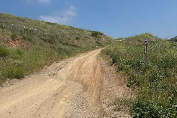
Trail condition was good overall. Minor to mild ruts which were no problem for the little Compass (2inch lift, front air dam removed, Nomad Nitto Grappler A/Ts and ASFIR skid plate). Very quiet and peaceful out there.
Michael C
Mar 14, 2026
Open
Normal
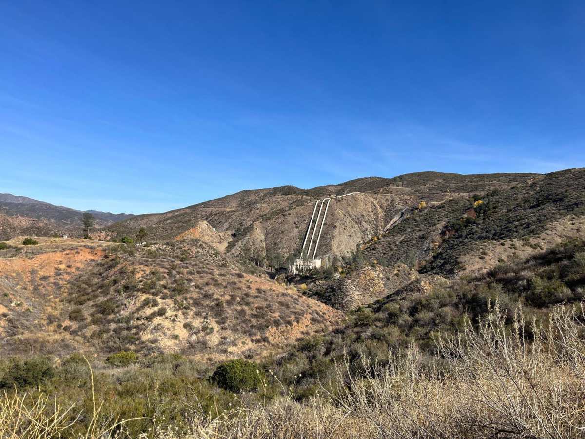
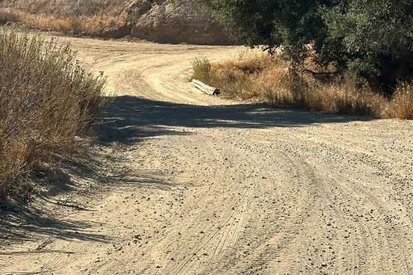
The trail was in good overall condition. We started at the bridge and proceeded along a route that remains fairly narrow for most of the drive, with limited space for vehicles to pass each other. That said, there are numerous pull-outs, viewpoints, and small platforms along the way where drivers can stop, enjoy the scenery, and allow oncoming vehicles to pass.
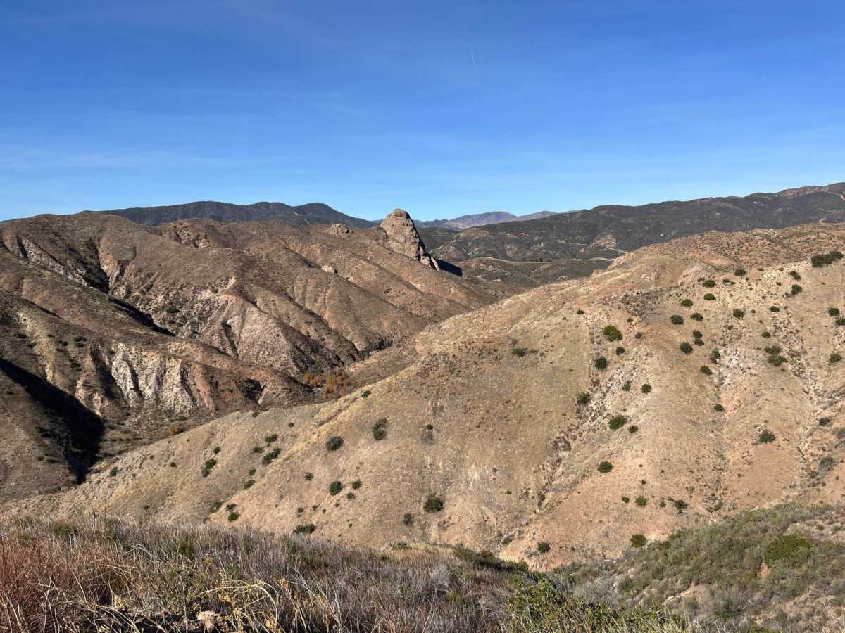
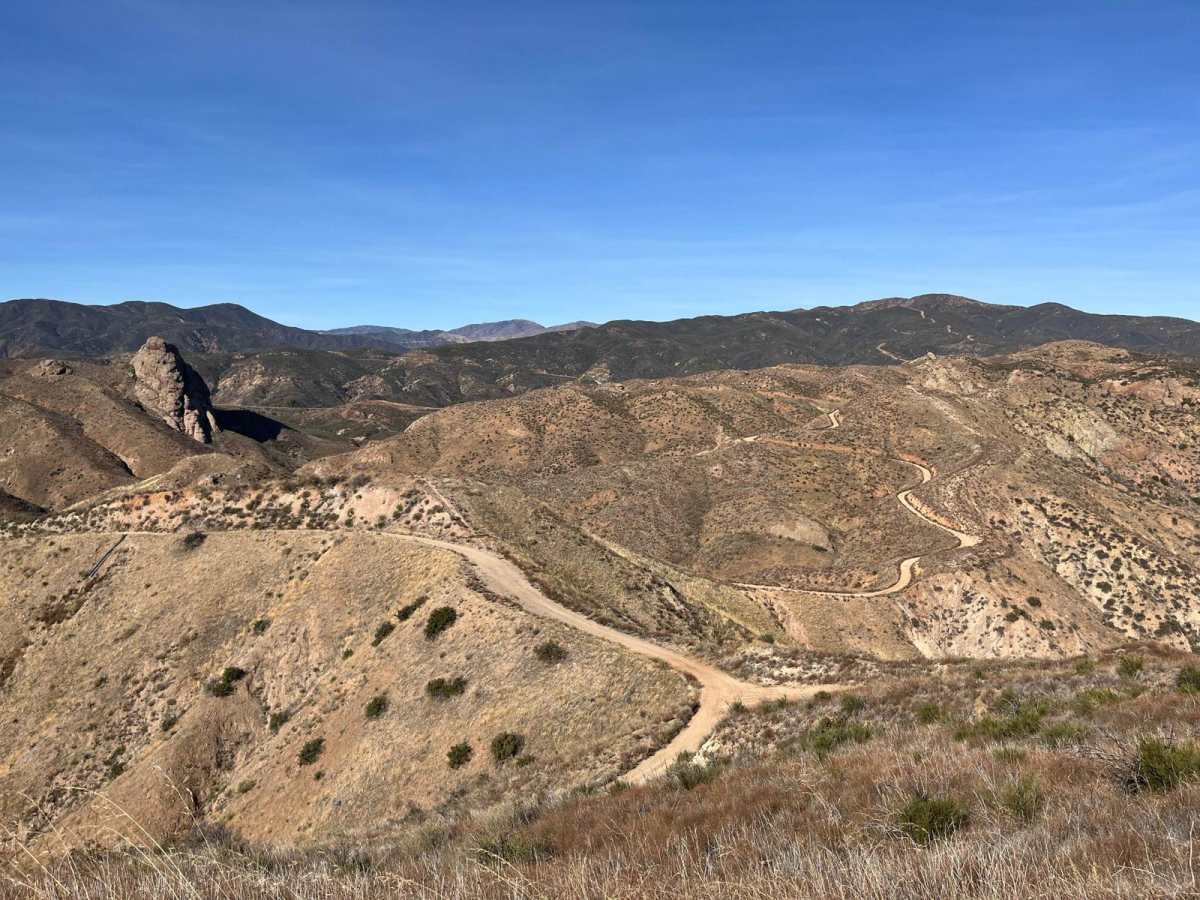
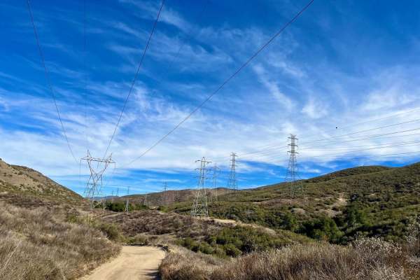
The trail offers excellent views throughout the route, making it a very scenic drive.
The vehicle was operated primarily in 4x4 High, which was sufficient for the terrain. There are a few sections where higher ground clearance is helpful, but nothing overly technical.
The trail eventually ends at a paved road at a T-junction. The route toward San Francisquito Canyon was closed at the time, so we turned around and instead followed the road toward Castaic Reservoir, which provided another excellent overlook with great views of the lake.
Overall, it was a very enjoyable and scenic run, with moderate trail conditions and several great spots for views.
Brian K
Mar 08, 2026
2025 Ford Bronco
Open
Noth entrance is closed. Will not be able to complete the loop. Also Lake Hughes Road is currently closed as well.
Jimmy Kay
Mar 07, 2026
2021 Chevy Silverado
Open
Mostly dry with a couple dirt puddles. Just a few bumps followed by depressions that may make it hard for a Honda civic. If you’re in a truck or SUV you should be fine even in 2WD
Rory Ward
Feb 25, 2026
2024 Ford Bronco
Temporarily Closed
Closed Gate
The gate further east on San Francisquito is closed. I entered through the other end not knowing I’d have to turn back. You can take the paved road back to Lake Hughes Rd into Castaic.
ashley bowers
Feb 07, 2026
2018 jeep grand cherokee
Temporarily Closed
Closed GatePosted Sign
arrived at the trail just before 5pm and there were cones and the gate was closed and it said closed. it wasn’t closed at the other entrance but it was too close to sunset to attempt.
611 Ramsfan
Feb 01, 2026
Open
Normal
Nice conditions, some rocks and ruts… Easy 4x4 drive. Beautiful for sight-seeing. Northgate still closed, 5.2 miles long.
Clint Springer
Jan 26, 2026
2024 Toyota Tacoma
Open
NormalDustyRough/Deteriorated
The northern entrance is closed, and Lake Hughes Rd is closed. So it’s currently a there-and-back drive. However, it’s a very nice drive with good views. Most of the road is in good shape with minor ruts. The last 1/4 mile or so of the northern section is decently steep with rocks and deep ruts. I’d definitely recommend 4x4 for this portion, as going back up it is a little more technical, but nothing that hairy. My dog and kids enjoyed the numerous pull-offs and little hiking trails along the way.
Robert Mundy
Jan 08, 2026
Open
Muddy/Wet
The northeast gate is closed. I entered from the south west entry
p i
Dec 22, 2025
2022 Jeep Compass
Open
NormalDusty
Easy and nice trail! Peaceful and quiet. No issues, smooth overall.