City Highline Road

Total Miles9.5
Technical Rating
2Easy
Best TimeSpring, Summer, Fall, Winter
Trail TypeFull-Width Road
Accessible By
Open Trail Map

Trail Overview

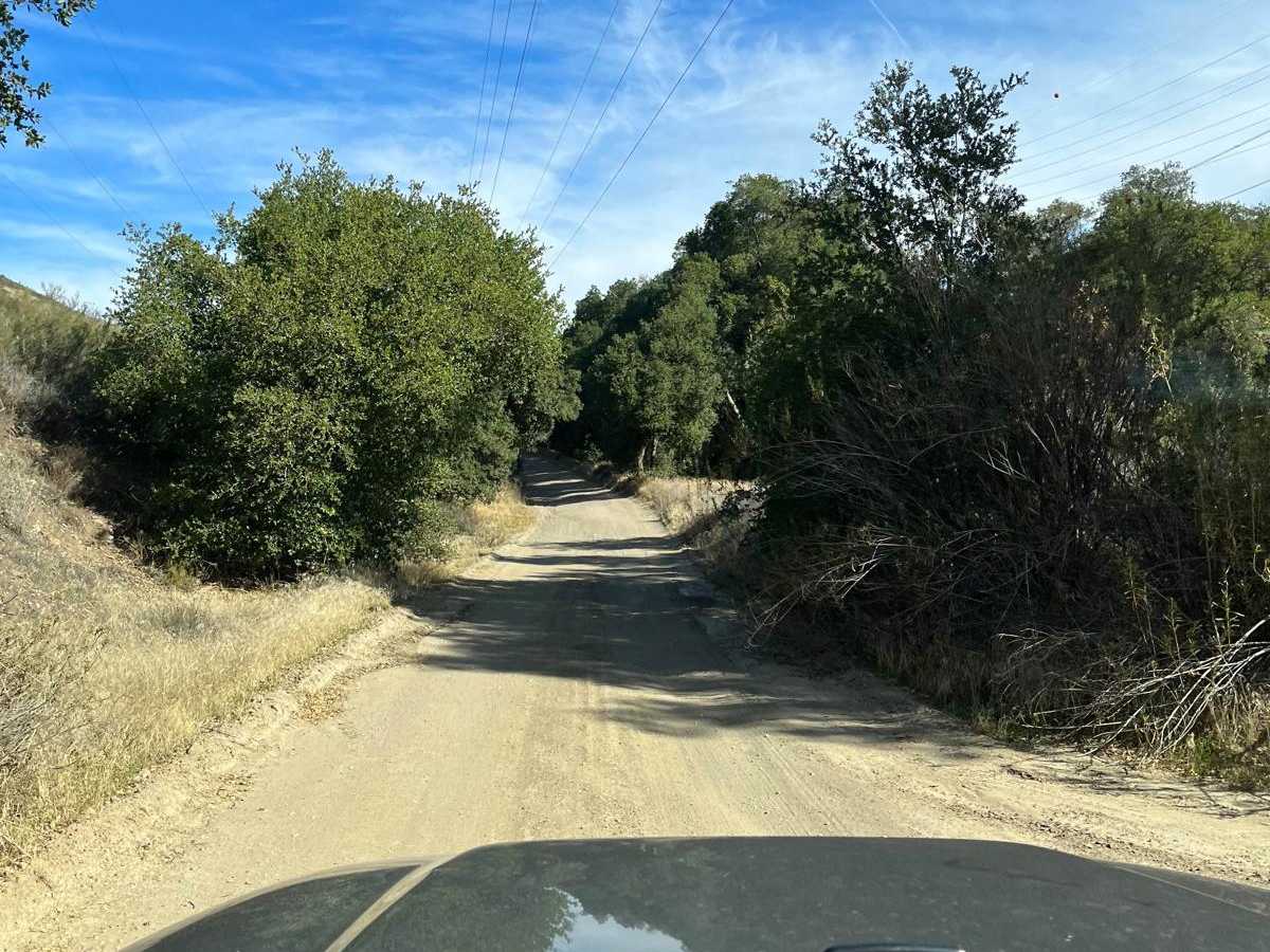
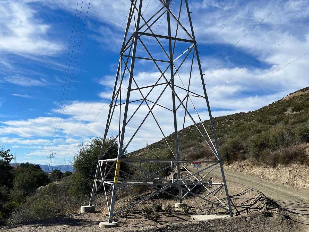
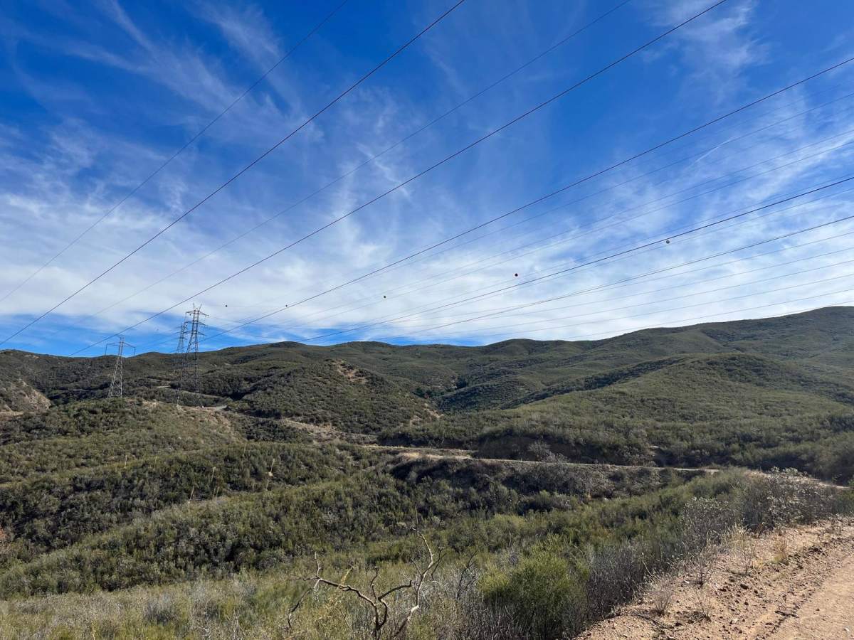
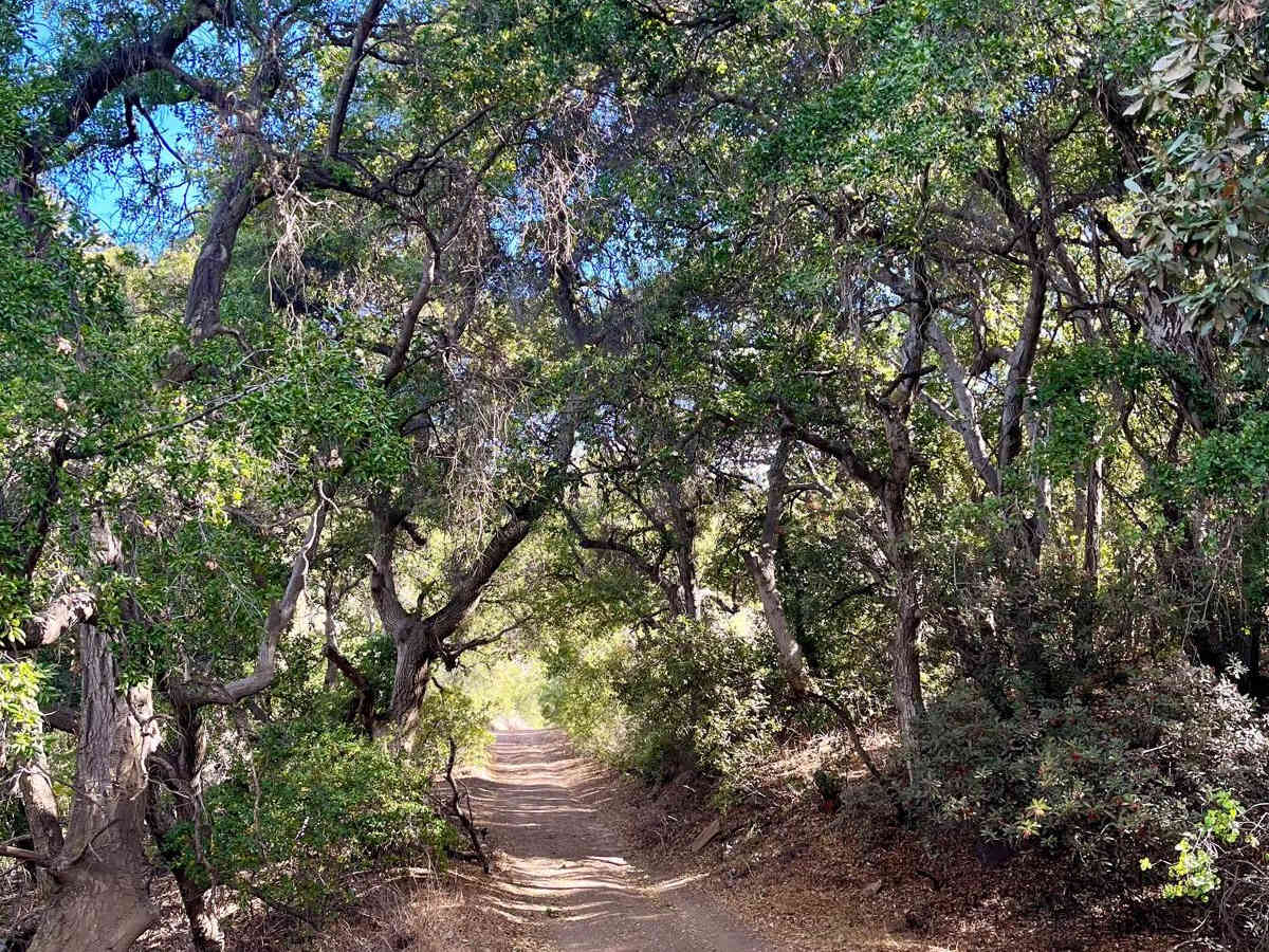
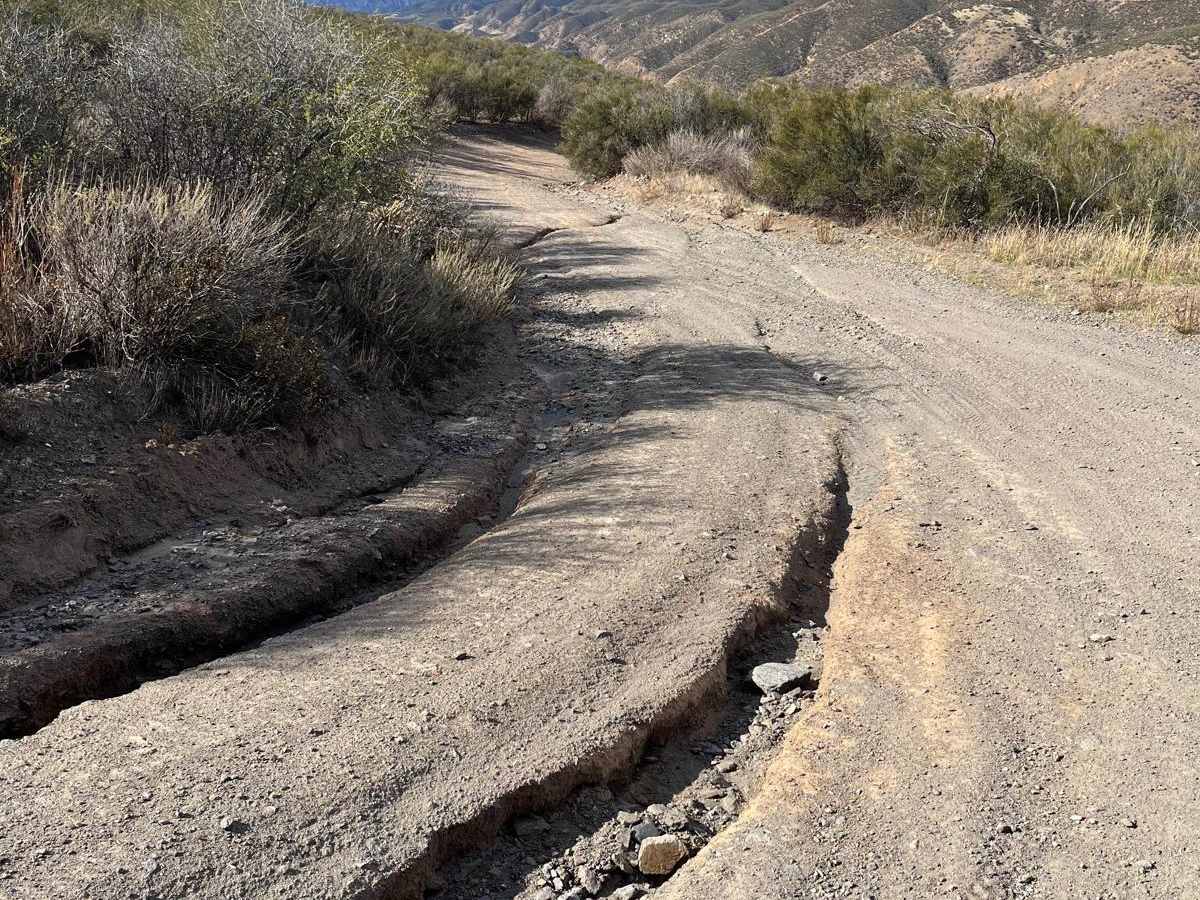
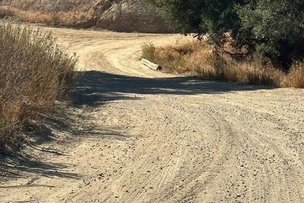
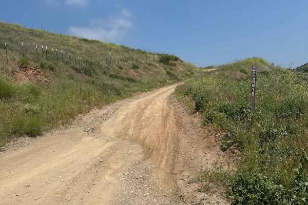
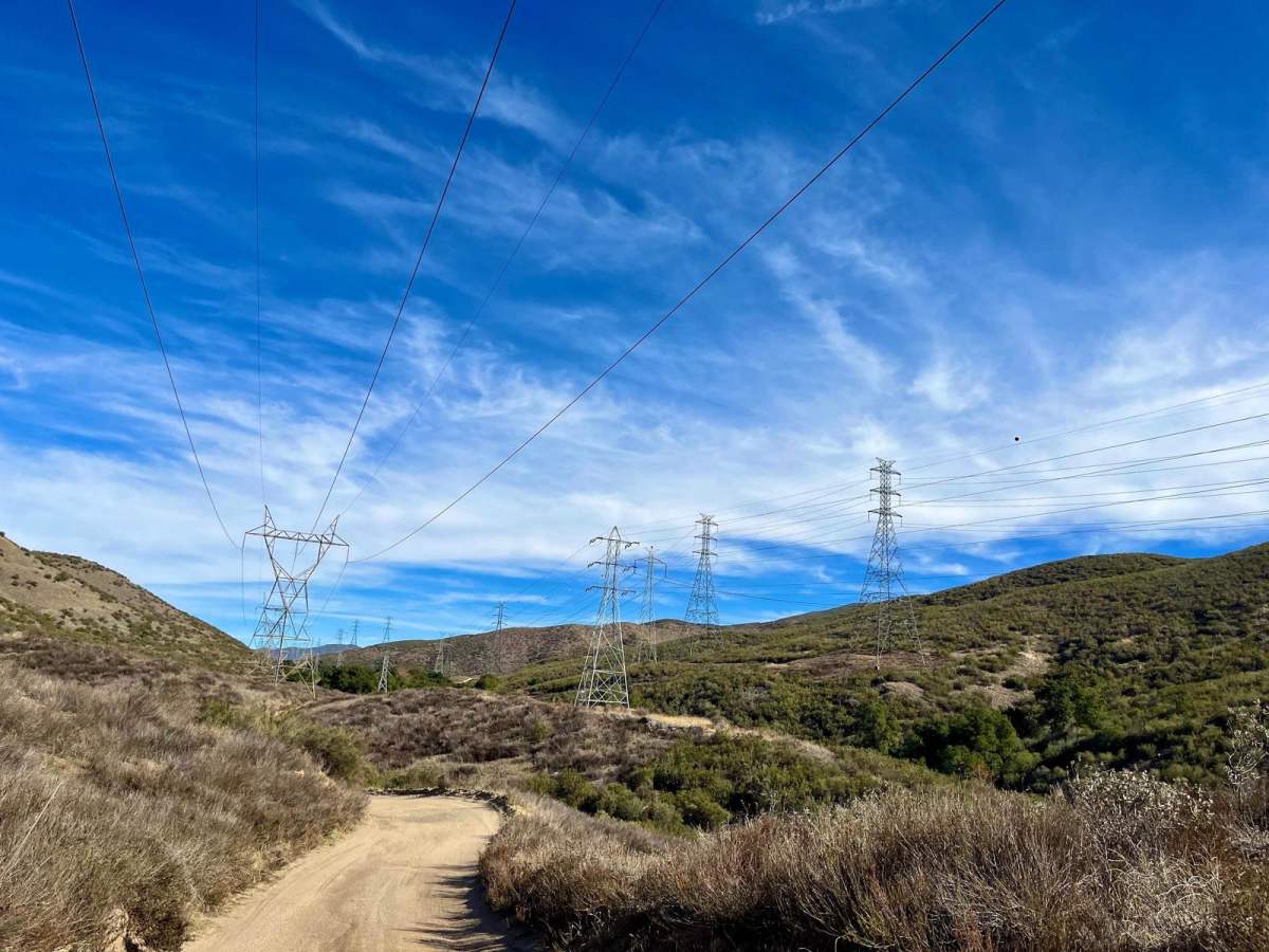
City Highline Road offers a scenic dirt-road driving experience perfect for those looking to escape the busier trails around Santa Clarita. This non-technical route stretches for approximately 9.5 miles as it winds along the rugged hills of San Francisquito Canyon, closely following the utility power lines. Along the way, drivers are treated to expansive views of the California Aqueduct snaking through the canyon below, as well as panoramic vistas of the surrounding mountain ranges. While the main route is well-maintained and relatively unfrequented, drivers will find numerous short side roads branching off the main track. Most of these offshoots simply lead to power line pads, but a few present slightly longer and more challenging obstacles. The primary surface is dirt, which is generally well-graded, though some sections can develop minor rutting after wet weather. High-clearance vehicles are preferred to navigate these minor ruts, although four-wheel drive is rarely necessary under normal dry conditions. Starting near San Francisquito Power Plant No. 1 at its northern end, the trail climbs through elevations ranging from 1,952 feet to a peak of 2,815 feet, accumulating over 1,800 feet of total elevation gain. This makes it an excellent option for a quick half-day getaway or a scenic connector route in the Angeles National Forest area.

Photos of City Highline Road

Difficulty

This is an easy road that generally doesn't even require 4x4. There is potential for some rutting, and moderate clearance is preferred.

Technical Rating

2

Status Reports

Add Status Report
robert Lutz
Nov 15, 2025
2024 Chevrolet Colorado
Open
Muddy/WetSnow/IceRough/Deteriorated
Went when it was absolutely pouring, slipping and sliding everywhere, no traction but massive puddles to bomb through. Almost got stuck at the very end after sliding into a rut.
hakop martirosyan
Oct 26, 2025
2025 GMC Hummer
Open
NormalDustyMuddy/Wet
Definitely air down tires cause there are some parts with jagged gravel and large rocks. 2 turns have little puddles, a lot of dirt bikes be careful. Also highest decline I say was like 13 or 14 % so be mindful of “low gear”
Josh Alexander
Sep 20, 2025
2025 Toyota Tundra
Open
Dusty
Newbie to the off road world…. This trail was perfect for my in experience. Drove in 2H the entire drive. Start to finish took about 2 hours but we did make a couple of wrong turns onto private property toward the end. I can honestly say there was little to know challenge other than beginners nerves!
Mykola Perov
Sep 13, 2025
2024 Jeep Wrangler
Open
NormalDusty
A little bit dusty, almost all track is suitable for even crossovers
KJ Edson
Sep 06, 2025
2024 Ford Bronco
Open
Dusty
Trail Hunter
Jun 01, 2025
Open
Dusty
James H
May 18, 2025
2024 Ford Bronco
Open
NormalRough/Deteriorated
Trail was great for the most part but when exiting through Drinkwater Flats the way down was very deteriorated, a 20 minute trip down with deep sinks and sharp loose rocks. Stay on the City Highline trail until the end if you are new to off-roading. Great experience overall.
Eric Cheng
May 10, 2025
2025 GMC Hummer
Open
Normal
Jon B
May 08, 2025
Temporarily Closed
Closed Gate
Metal gate arm unable to enter off San Francisquito Canyon. Maybe another entrance?
Connor Wilson
May 04, 2025
Open
Normal
Fun trail it was open. Took about 45min
Brandon Bernier
May 03, 2025
2014 Toyota FJ Cruiser
Open
Muddy/Wet
Beautiful trail!
Jose Gonzalez
Apr 06, 2025
Open
Normal
It was nice and dry !! Very sunny ! Beautiful views
Ron B
Apr 05, 2025
2024 GMC Sierra
Open
Normal
Eric Cheng
Apr 05, 2025
2025 GMC Hummer
Open
Normal
CJ Jackson
Jan 11, 2025
Open

City Highline Road Trail can be accessed by the following ride types:

  • Single Track
  • 50 Inch
  • 60 Inch
  • High Clearance
  • Full Width

City Highline Road Map

The onX Offroad Difference

onX Offroad combines trail photos, descriptions, difficulty ratings, width restrictions, seasonality, and more in a user-friendly interface. Available on all devices, with offline access and full compatibility with CarPlay and Android Auto. Discover what you're missing today!

Open Trail Map