
Dirt Bike Trails
Near Breckenridge, Colorado
Explore All Dirt Bike Trails Near Breckenridge, Colorado
Dirt Bike Trails Near Breckenridge, Colorado
Discover the best dirt bike trails near you. Browse trail maps, check difficulty ratings, and find your next adventure — whether you're looking for a quick ride or an all-day expedition.
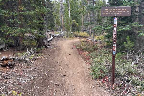
One Step Over
The west side of the trail is accessed from GH-25. The first 1.5 miles are fast and flowy, with fun turns and very few technical features. This western stretch also offers a great view of Breckenridge and the ski slopes across the valley.
The eastern side, accessed from GH-38, has a different charac...
Learn more about One Step Over
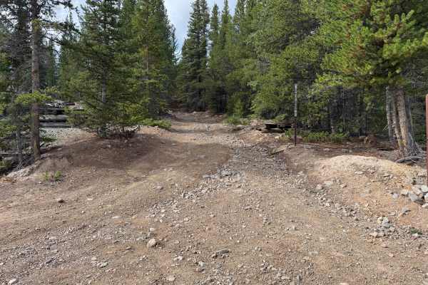
Extension Mill Road
This through route begins off Gold Run Gulch Road and travels through the historic mining landscape north of Breckenridge. The route winds through dense stands of spruce, fir, and pine, along with areas of younger trees, low shrubs, grasses, and more open sections of forest. Several openings provide...
Learn more about Extension Mill Road
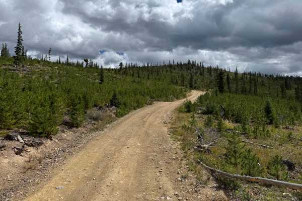
Gold Run Road
This through route travels through the forested mountains northeast of Breckenridge and the historic Golden Horseshoe mining area. The road is mostly wide enough for two vehicles, narrowing around the switchbacks, with numerous areas available to pull over and allow another vehicle to pass. Dense ev...
Learn more about Gold Run Road
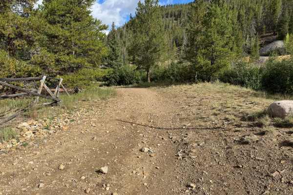
Peabody Placer
This through route connects with Gold Run Gulch Road and travels along the mountainside through a mixture of dense evergreen forest, aspen groves, and thick stands of brush. The surface varies between dirt, loose gravel, scattered rock, and darker sections of fine mining material. Portions of the ro...
Learn more about Peabody Placer
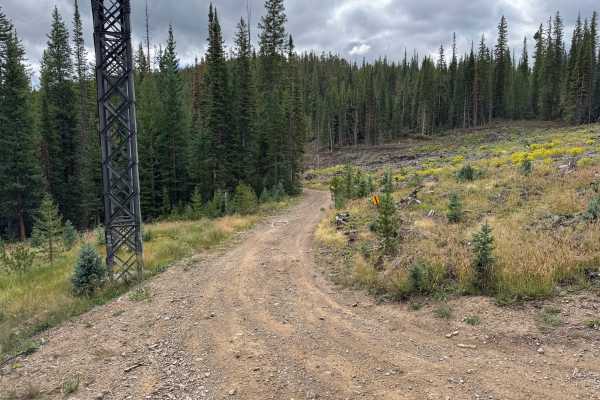
Draw Road
This route travels through dense high-elevation evergreen forest and is mostly one vehicle wide, with trees growing close to the roadway in several areas. Branches extend into the travel corridor in places, making light pinstriping possible. The route winds along the mountainside before continuing d...
Learn more about Draw Road
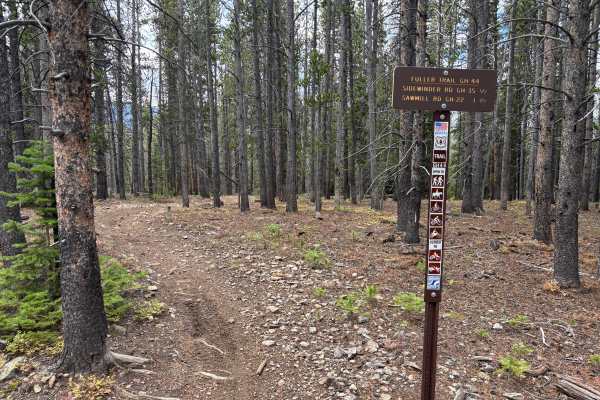
Fuller Trail
Fuller Trail is likely the most challenging trail in the Summit County Trail System. It features a few longer and steeper grades with a lot of softball-sized rocks. Some tighter switchbacks are mildly steep and fairly loose. The trail is also notably rutted in areas. Rock and root obstacles up to 12...
Learn more about Fuller Trail
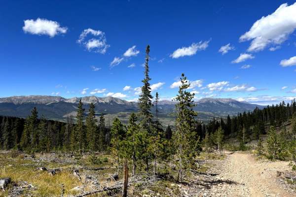
Summit Gulch (GH-74)
Summit Gulch (GH-74) is a scenic, narrow, rocky trail that is frequented by off-highway vehicles such as dirt bikes and SxSs in Breckenridge, Colorado. The trail has several rollers that are exciting to drive over on dirt bikes and short-wheel-base vehicles. This may not be suitable for longer wheel...
Learn more about Summit Gulch (GH-74)
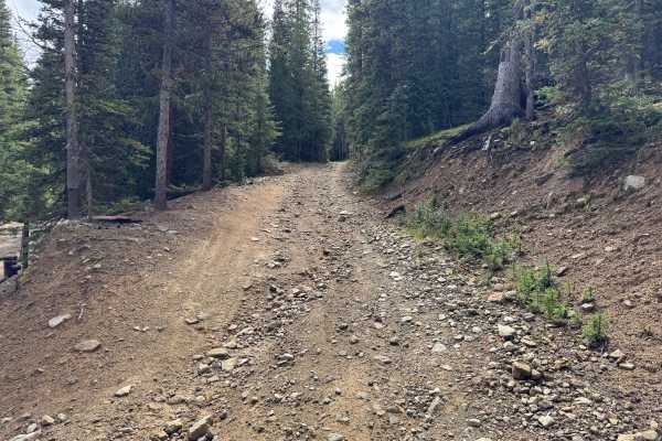
Sawmill Road
This is Sawmill Road, designated GH-22, a roughly 1 mile unpaved route through the Golden Horseshoe area northeast of Breckenridge. The route travels through dense high-elevation evergreen forest dominated by spruce, fir, and pine, with low shrubs, grasses, mossy groundcover, and fallen timber cover...
Learn more about Sawmill Road
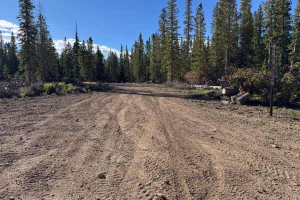
Spruce Road
This loop route travels through the high-elevation forests of the Golden Horseshoe, connecting with the surrounding network of backcountry routes near Lincoln Park. The route passes primarily through dense spruce, fir, and pine forest, with occasional openings that provide glimpses of the surroundin...
Learn more about Spruce Road
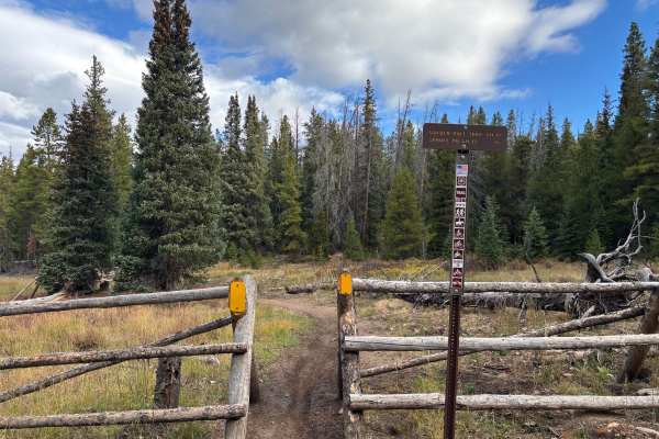
Golden Rule
Golden Rule is a fun trail with some small roots and mildly steep grades that are loose. The trail is faster and more open than many others in the area. There are two trail crossings. The north end intersects with the east end of Fuller Trail. The south end is accessed from GH-66.
Learn more about Golden Rule
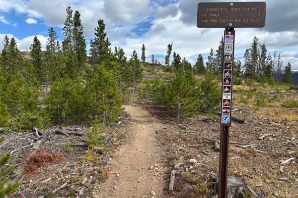
Book Case
Book Case is a fast and fun trail with some slight exposure. The Eastern end features a fun wash section with some back-to-back berms. There are some cool built-up ramp sections as well. The trail crosses with one non-motorized MTB trail, so make sure to read the signs.
Learn more about Book Case
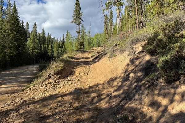
Galena Gulch Road
This through route travels through the historic Golden Horseshoe mining area, connecting with other roads in the extensive backcountry network northeast of Breckenridge. The surroundings consist primarily of dense pine, spruce, and fir forest mixed with stands of aspen, while occasional openings pro...
Learn more about Galena Gulch Road

Prospect Hill Rd (GH-38) to Sidewinder Rd (GH-35)
Prospect Hill Road (GH-38) is a rocky trail that connects Rock Island Road to Summit Gulch via Sidewinder Road (GH-35). It sits on top a small mountain that opens to a 360-degree view of the mountains around Breckenridge, CO. The trail has several scenic pull-offs where off-roaders stop to take brea...
Learn more about Prospect Hill Rd (GH-38) to Sidewinder Rd (GH-35)
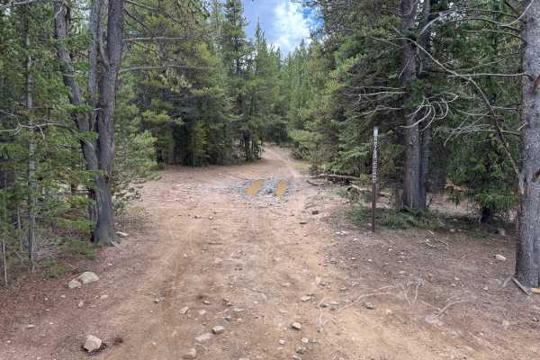
Forest Queen Road
This through route travels through the Golden Horseshoe trail system northeast of Breckenridge and connects the Lincoln Park area with Humbug Hill. The route winds through dense high-elevation forest dominated by spruce, fir, and pine, with younger evergreens, low shrubs, and fallen timber covering ...
Learn more about Forest Queen Road
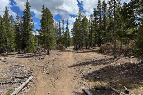
Georgia Gulch Road
This route travels through the Golden Horseshoe road system northeast of Breckenridge and is seasonally designated for motorized travel from May 21 through November 22. The route winds through dense high-elevation evergreen forest, with spruce, fir, and pine surrounding much of the roadway. The fore...
Learn more about Georgia Gulch Road
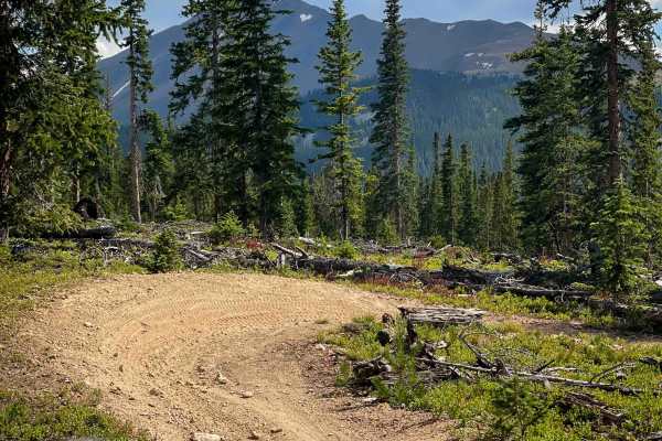
Governor King Trail #GH67
Governor King is 1.5 miles of easy and flowy dirt bike trail through the White River National Forest near Breckenridge, Colorado. Most of the trail is pretty wide through a pine forest, with narrower single track sections as well. It’s well-marked at both entrances and easy to follow. There are smal...
Learn more about Governor King Trail #GH67
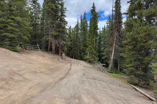
Lincoln Park Road
This through route traverses across the Golden Horseshoe, connecting the Lincoln Park area with the top of Humbug Hill and providing connections to several other routes within the trail network. The road is mostly two vehicles wide and travels through dense high-elevation forest dominated by spruce,...
Learn more about Lincoln Park Road
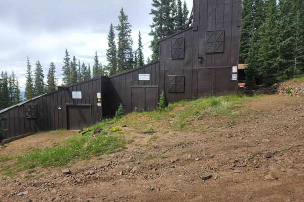
Mt. Baldy Road
Mt. Baldy Road is an exceptional high-altitude spur trail near Breckenridge, Colorado, offering offroaders a relatively accessible climb to just below the 13,684-foot summit of Mount Baldy. Spanning approximately 3.8 miles and climbing from 10,600 feet to over 12,600 feet, this street-legal-only rou...
Learn more about Mt. Baldy Road
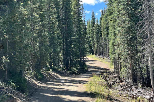
Rock Island Road (GH-87)
Rock Island Road (GH-87) is a narrow, rocky trail that is frequented by Off-Highway Vehicles such as dirt bikes and SxS in Breckenridge, Colorado. The trail has several rollers that are exciting to drive over on dirt bikes and short-wheel-base vehicles. This may not be suitable for longer wheel-base...
Learn more about Rock Island Road (GH-87)
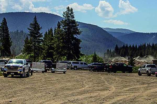
Georgia Pass
Georgia Pass is a moderate-rated offroad route ideal for drivers looking to experience high-altitude views and rich mining history near Breckenridge. Running nearly six miles in length, the trail climbs from a starting elevation of 9,647 feet up to a peak of 11,594 feet, gaining over 2,000 feet of c...
Learn more about Georgia Pass
ATV trails near Breckenridge, Colorado
Explore ATV-friendly trails near you. These trails are accessible for vehicles up to 50 inches wide, perfect for ATVs and smaller off-road machines.
Extension Mill Road
This through route begins off Gold Run Gulch Road and travels through the historic mining landscape north of Breckenridge. The route winds through dense stands of spruce, fir, and pine, along with areas of younger trees, low shrubs, grasses, and more open sections of forest. Several openings provide...
Learn more about Extension Mill Road
Gold Run Road
This through route travels through the forested mountains northeast of Breckenridge and the historic Golden Horseshoe mining area. The road is mostly wide enough for two vehicles, narrowing around the switchbacks, with numerous areas available to pull over and allow another vehicle to pass. Dense ev...
Learn more about Gold Run Road
Peabody Placer
This through route connects with Gold Run Gulch Road and travels along the mountainside through a mixture of dense evergreen forest, aspen groves, and thick stands of brush. The surface varies between dirt, loose gravel, scattered rock, and darker sections of fine mining material. Portions of the ro...
Learn more about Peabody Placer
Draw Road
This route travels through dense high-elevation evergreen forest and is mostly one vehicle wide, with trees growing close to the roadway in several areas. Branches extend into the travel corridor in places, making light pinstriping possible. The route winds along the mountainside before continuing d...
Learn more about Draw Road
UTV/side-by-side trails near Breckenridge, Colorado
Find UTV and side-by-side trails near you. These trails accommodate vehicles up to 60 inches wide, ideal for UTVs, side-by-sides, and wider off-road rigs.
Extension Mill Road
This through route begins off Gold Run Gulch Road and travels through the historic mining landscape north of Breckenridge. The route winds through dense stands of spruce, fir, and pine, along with areas of younger trees, low shrubs, grasses, and more open sections of forest. Several openings provide...
Learn more about Extension Mill Road
Gold Run Road
This through route travels through the forested mountains northeast of Breckenridge and the historic Golden Horseshoe mining area. The road is mostly wide enough for two vehicles, narrowing around the switchbacks, with numerous areas available to pull over and allow another vehicle to pass. Dense ev...
Learn more about Gold Run Road
Peabody Placer
This through route connects with Gold Run Gulch Road and travels along the mountainside through a mixture of dense evergreen forest, aspen groves, and thick stands of brush. The surface varies between dirt, loose gravel, scattered rock, and darker sections of fine mining material. Portions of the ro...
Learn more about Peabody Placer
Draw Road
This route travels through dense high-elevation evergreen forest and is mostly one vehicle wide, with trees growing close to the roadway in several areas. Branches extend into the travel corridor in places, making light pinstriping possible. The route winds along the mountainside before continuing d...
Learn more about Draw Road
The onX Offroad Difference
onX Offroad combines trail photos, descriptions, difficulty ratings, width restrictions, seasonality, and more in a user-friendly interface. Available on all devices, with offline access and full compatibility with CarPlay and Android Auto. Discover what you're missing today!
Open Trail Map