Trail Overview
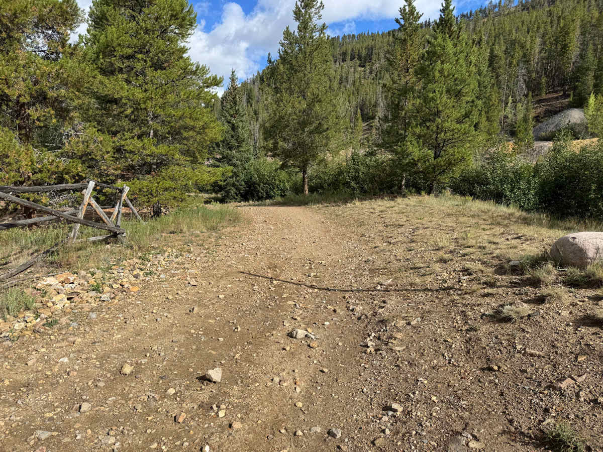
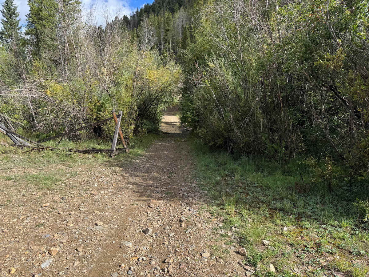
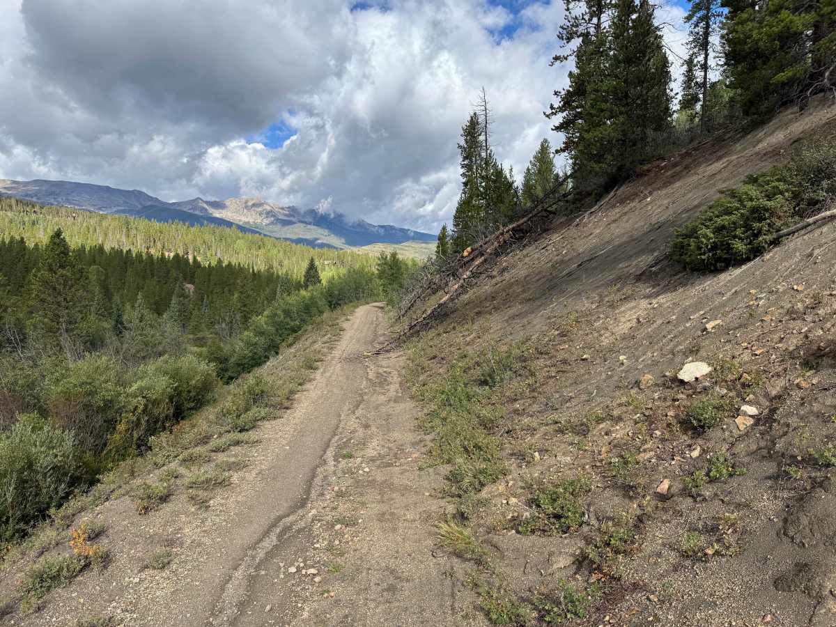
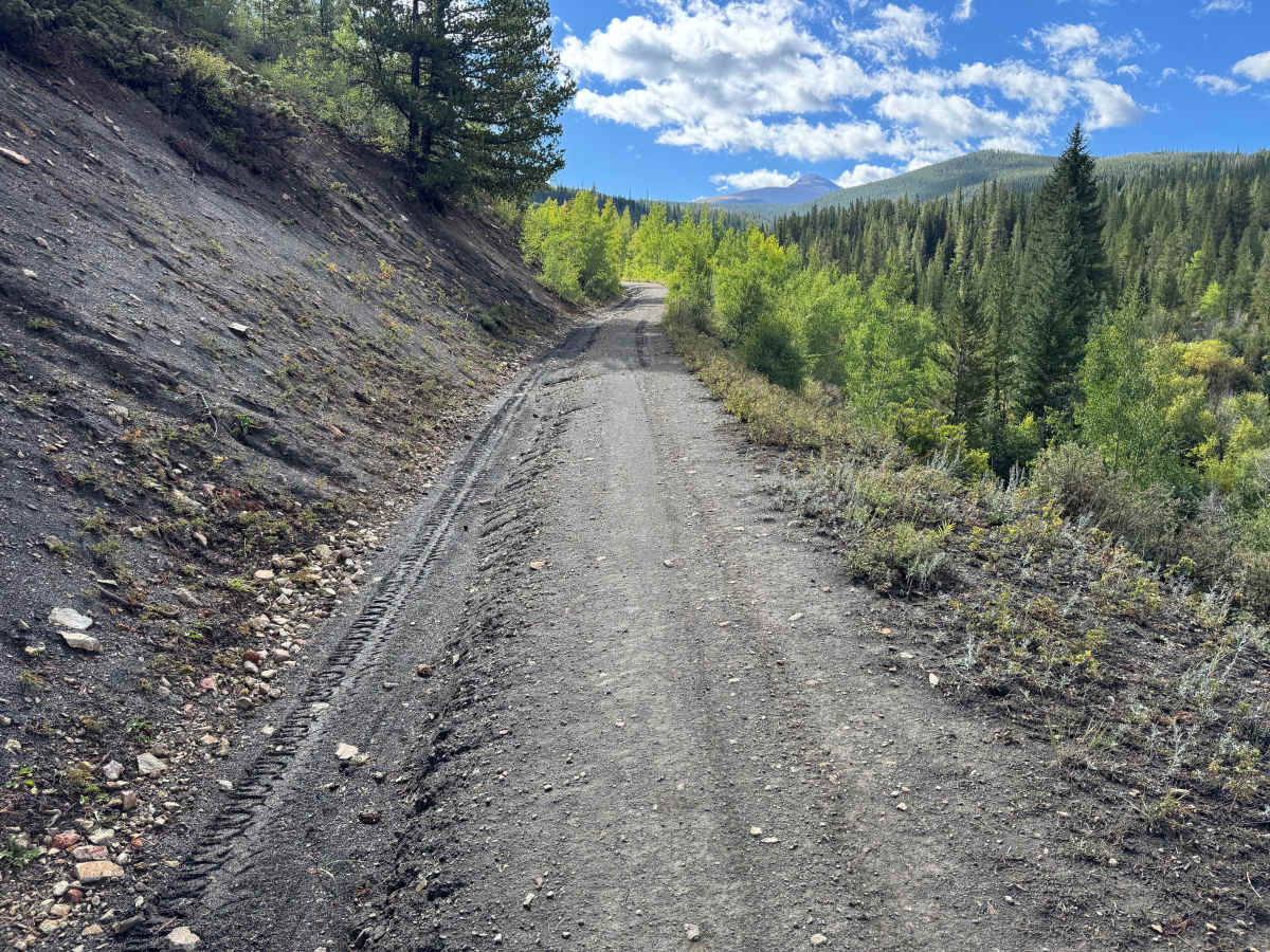
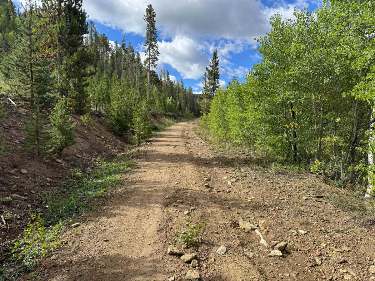
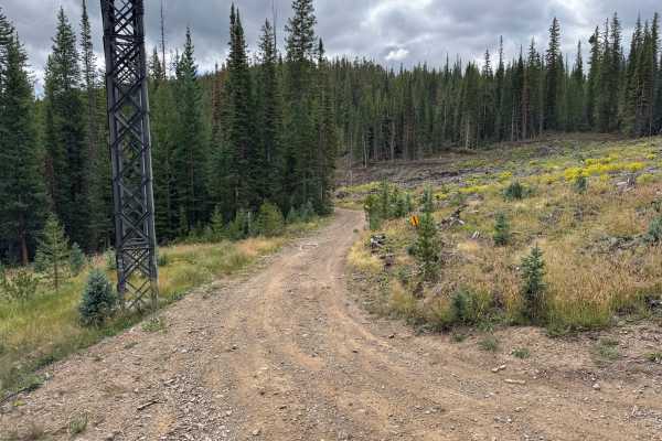
This through route connects with Gold Run Gulch Road and travels along the mountainside through a mixture of dense evergreen forest, aspen groves, and thick stands of brush. The surface varies between dirt, loose gravel, scattered rock, and darker sections of fine mining material. Portions of the route follow a narrow shelf above the heavily forested terrain below, while other sections pass through thicker vegetation. Two washouts are located along the route, and there is no room for two vehicles to pass on the narrowest sections. Near the connection with Gold Run Gulch Road, overgrown brush extends into the route, making pinstriping and paint scratches extremely likely. Open sections provide excellent views across the valley toward the residential areas below, surrounding forests, and distant mountain peaks.
Difficulty
Two significant washouts along the narrow shelf road create the primary challenges, with loose rock, erosion, and uneven sections throughout. The shelf sections offer little margin for error, and there is no room to pass or maneuver around another vehicle.
History
The Breckenridge area was heavily shaped by the Colorado Gold Rush beginning in 1859, when gold discoveries brought prospectors into the Blue River and surrounding gulches. French Gulch, Georgia Gulch, the Swan River, and nearby mountains became important mining areas containing placer operations, hard-rock mines, settlements, and eventually large dredging operations. Several settlements once existed throughout this backcountry. Lincoln City developed in French Gulch, where placer claims and later hard-rock mines operated, while Parkville developed near Georgia Gulch and briefly served as the first county seat of Summit County. Hydraulic mining later buried the remains of Parkville beneath mining debris. Many of the roads traveled through the area today follow corridors originally used to reach mines, settlements, and other operations that supported Summit County's mining industry

 Offroad