Trail Overview
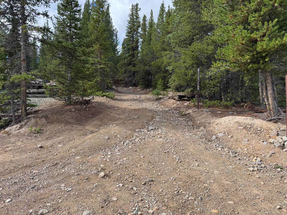
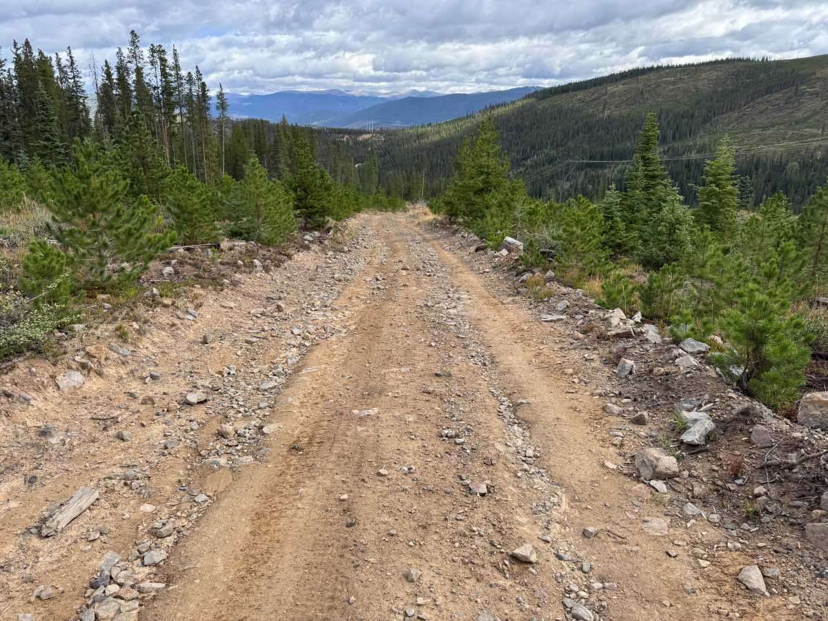
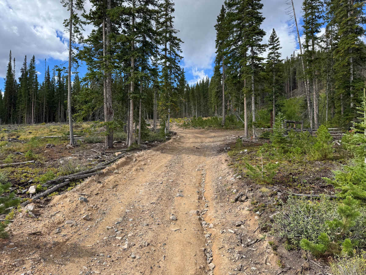
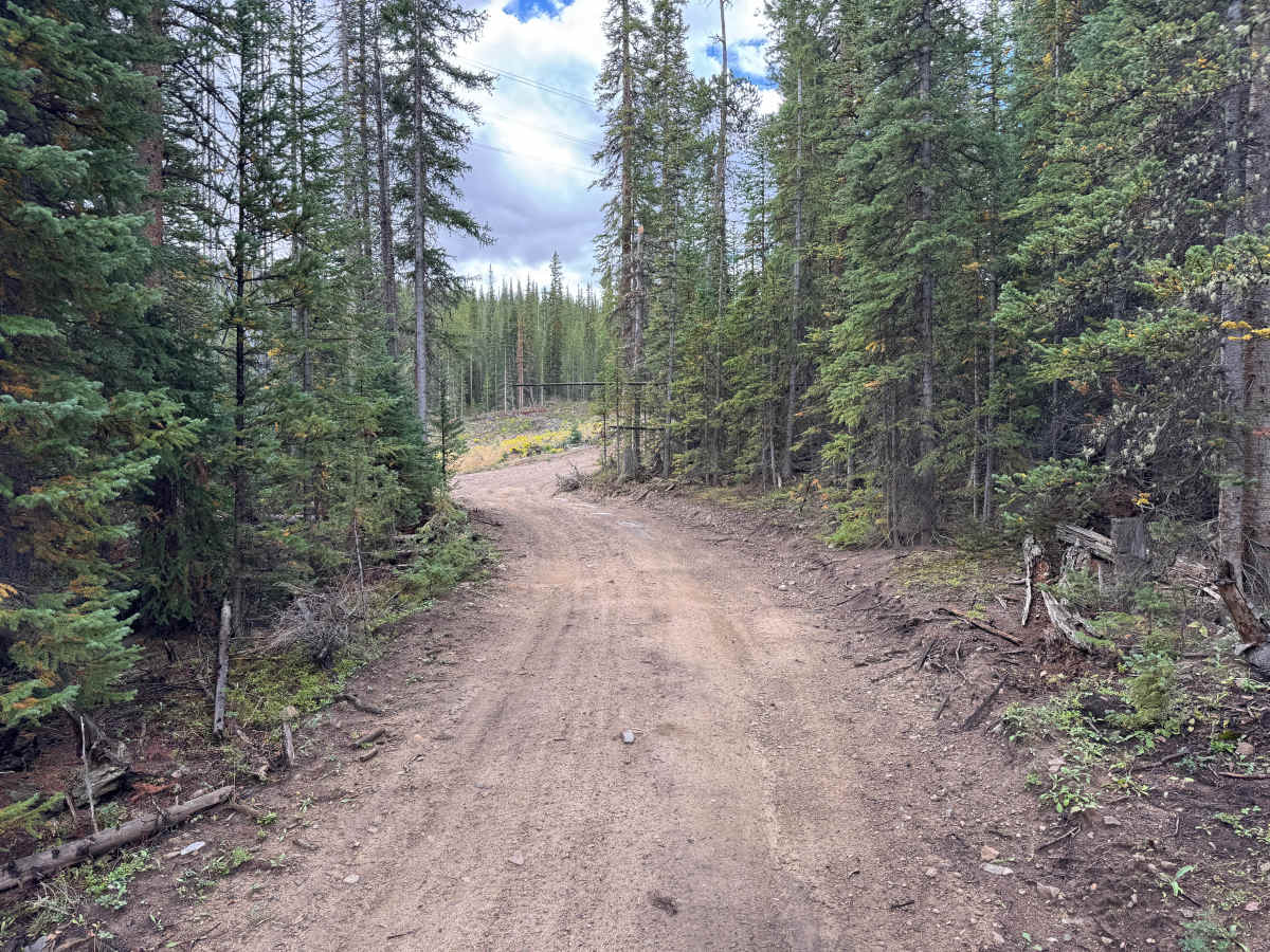
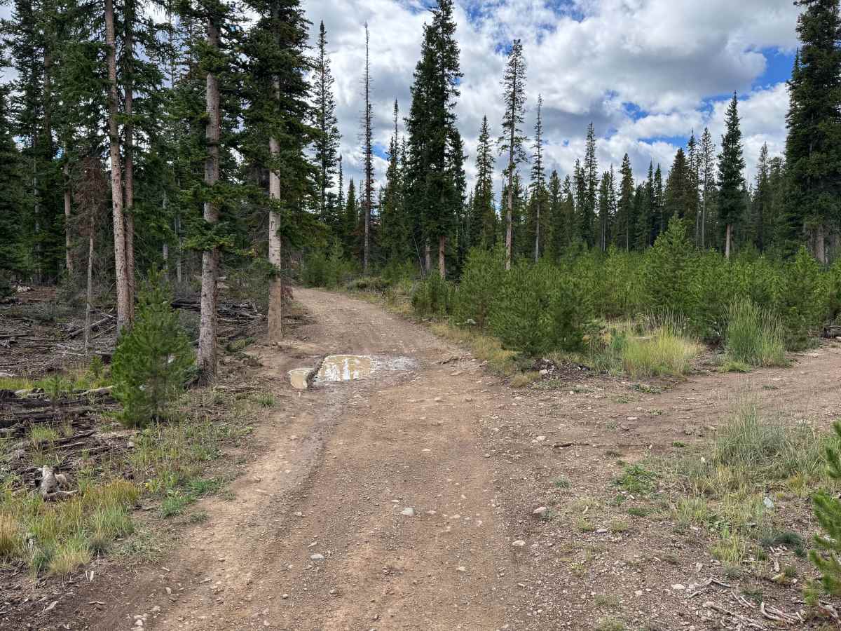
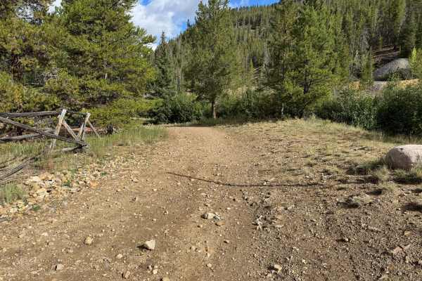
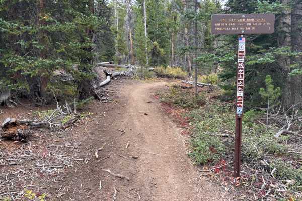
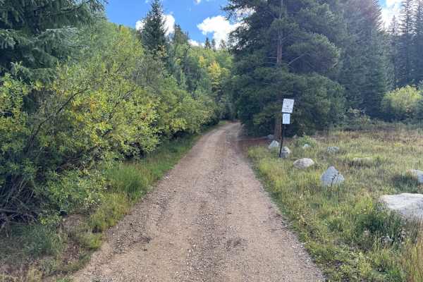
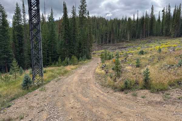
This through route begins off Gold Run Gulch Road and travels through the historic mining landscape north of Breckenridge. The route winds through dense stands of spruce, fir, and pine, along with areas of younger trees, low shrubs, grasses, and more open sections of forest. Several openings provide expansive views across the surrounding forested mountains and valleys. Active logging is present in portions of the area, so remain on the designated route and be respectful of ongoing operations. The route also passes the historic Extension Mill, which processed ore from nearby mines and once received ore from the Jumbo Mine by aerial tramway. Remains at the site include concrete machinery foundations and a large Portland Filter that was used during the ore-processing operation.
Difficulty
The route has no major obstacles but includes moderate grades, shallow ruts, whoops, dips, and occasional uneven rocky sections. Some low areas may hold water and become muddy following rain or snowmelt.
History
The Breckenridge area was heavily shaped by the Colorado Gold Rush beginning in 1859, when gold discoveries brought prospectors into the Blue River and surrounding gulches. French Gulch, Georgia Gulch, the Swan River, and nearby mountains became important mining areas containing placer operations, hard-rock mines, settlements, and eventually large dredging operations. Several settlements once existed throughout this backcountry. Lincoln City developed in French Gulch, where placer claims and later hard-rock mines operated, while Parkville developed near Georgia Gulch and briefly served as the first county seat of Summit County. Hydraulic mining later buried the remains of Parkville beneath mining debris. Many of the roads traveled through the area today follow corridors originally used to reach mines, settlements, and other operations that supported Summit County's mining industry.