Trail Overview
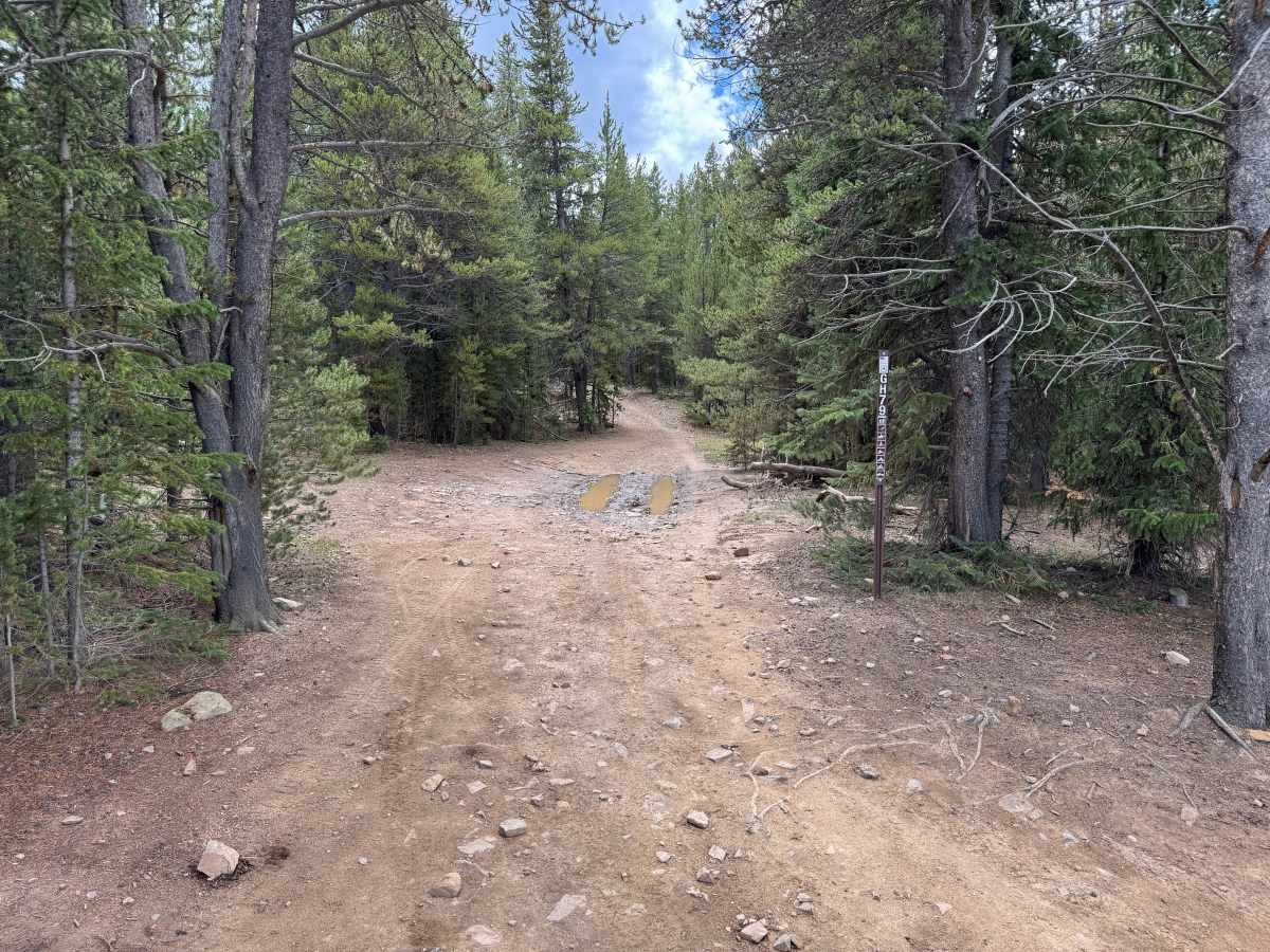
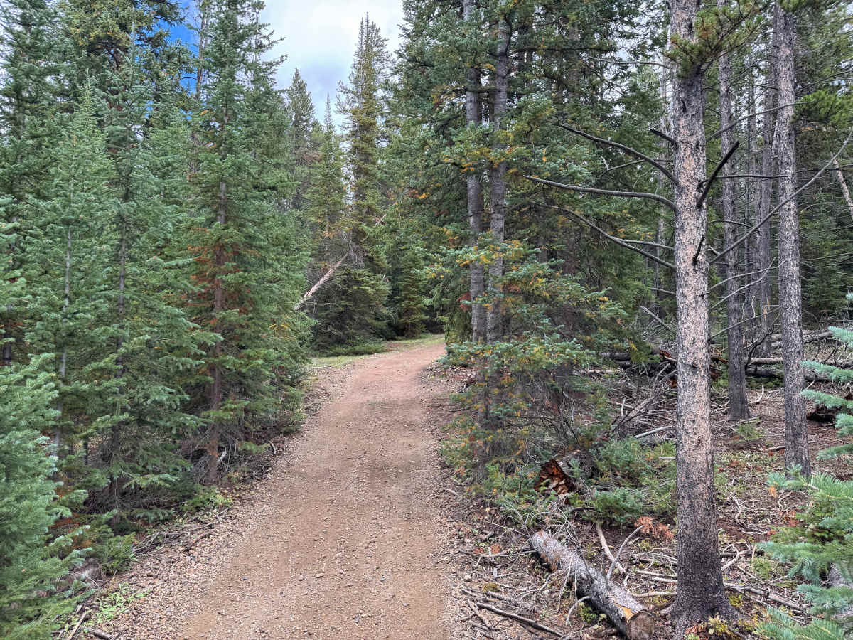
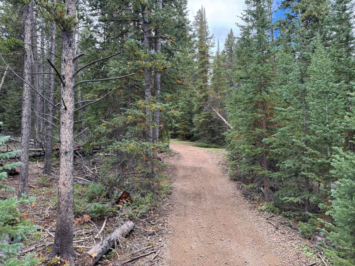
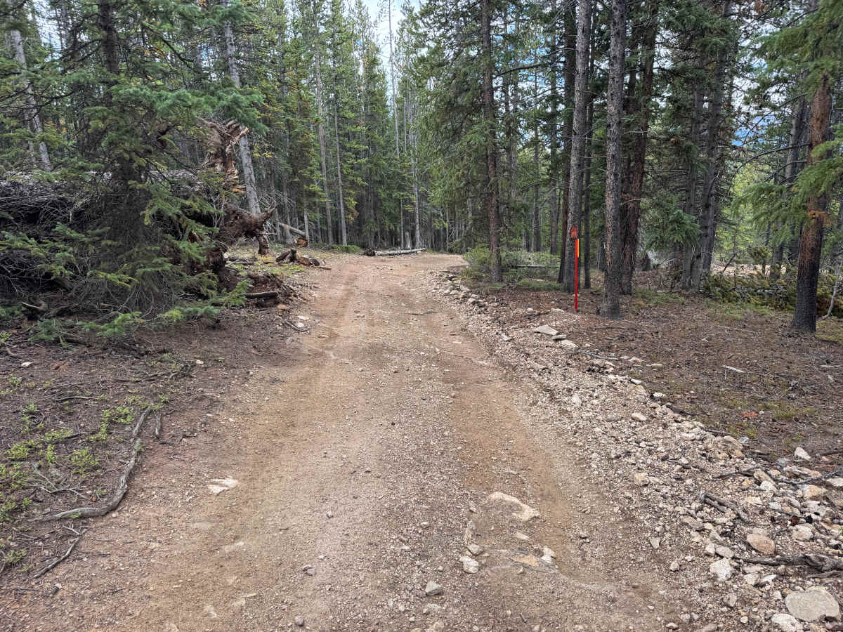
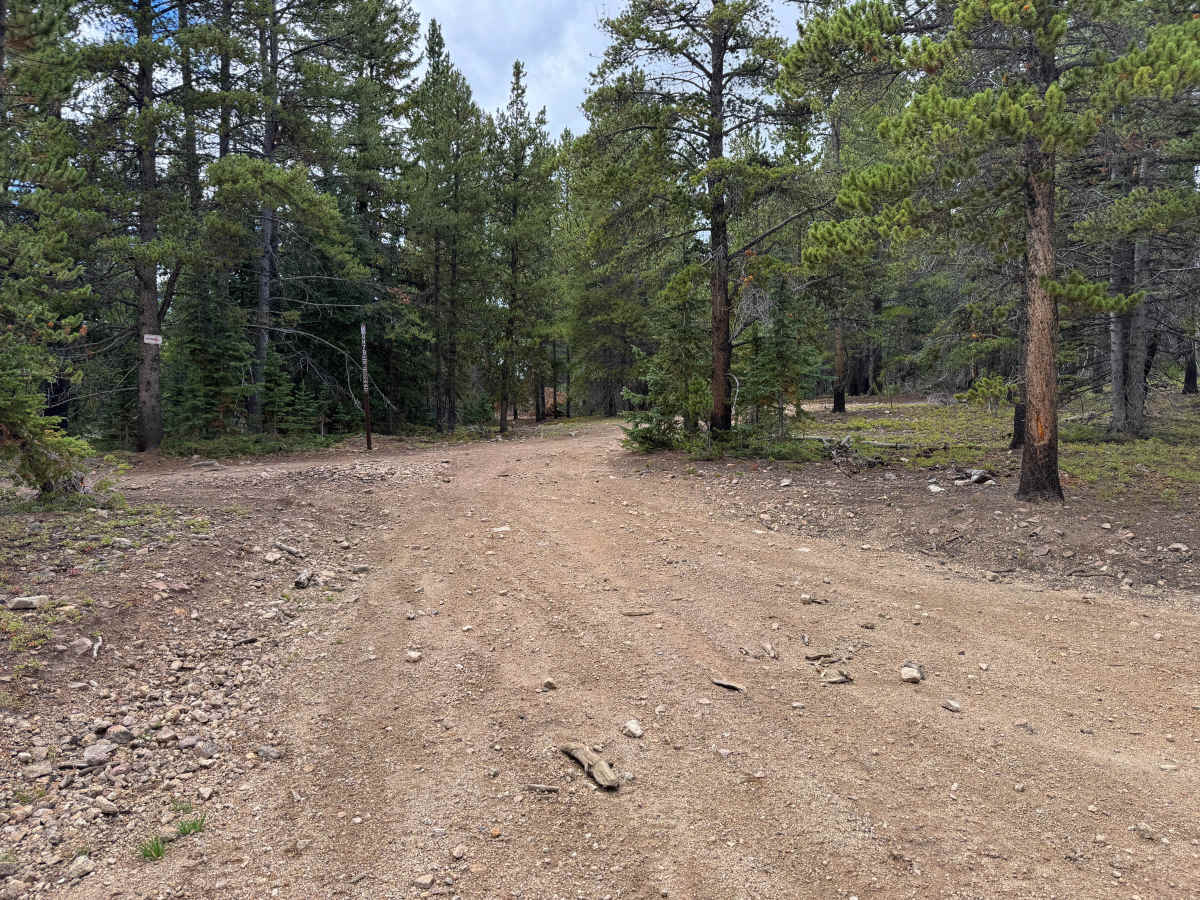
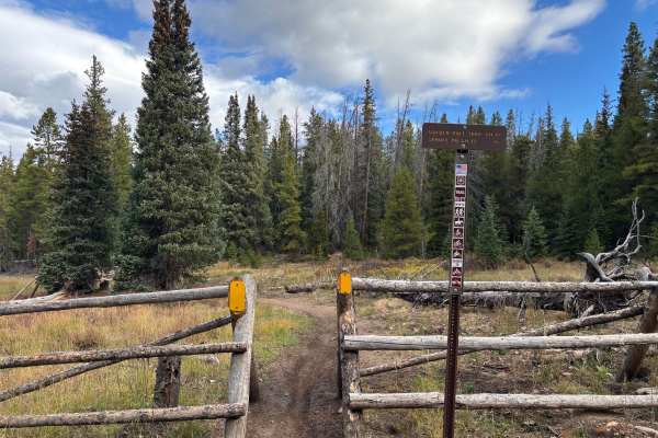
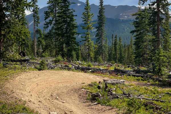
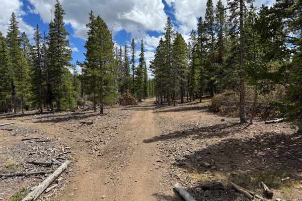
This through route travels through the Golden Horseshoe trail system northeast of Breckenridge and connects the Lincoln Park area with Humbug Hill. The route winds through dense high-elevation forest dominated by spruce, fir, and pine, with younger evergreens, low shrubs, and fallen timber covering much of the surrounding forest floor. Portions of the route weave between Summit County and National Forest lands as it travels through the mountains. Old tailing piles and other remnants of historic mining activity can be seen along the way, reflecting the extensive mining that once occurred throughout the Golden Horseshoe. The route is mostly one vehicle wide, with occasional wider sections along the way. The dense surrounding forest also provides habitat for wildlife that may occasionally cross or travel near the roadway. Motorized travel is restricted to dates between 05/21-11/22 every year
Difficulty
The route has no major technical obstacles but includes whoops, dips, shallow ruts, and minor erosion along the dirt surface. Scattered loose rock and uneven sections may also be encountered.
History
The Breckenridge area was heavily shaped by the Colorado Gold Rush beginning in 1859, when gold discoveries brought prospectors into the Blue River and surrounding gulches. French Gulch, Georgia Gulch, the Swan River, and nearby mountains became important mining areas containing placer operations, hard-rock mines, settlements, and eventually large dredging operations. Several settlements once existed throughout this backcountry. Lincoln City developed in French Gulch, where placer claims and later hard-rock mines operated, while Parkville developed near Georgia Gulch and briefly served as the first county seat of Summit County. Hydraulic mining later buried the remains of Parkville beneath mining debris. Many of the roads traveled through the area today follow corridors originally used to reach mines, settlements, and other operations that supported Summit County's mining industry.