
Dirt Bike Trails
Near Biola, California
Explore All Dirt Bike Trails Near Biola, California
Dirt Bike Trails Near Biola, California
Discover the best dirt bike trails near you. Browse trail maps, check difficulty ratings, and find your next adventure — whether you're looking for a quick ride or an all-day expedition.
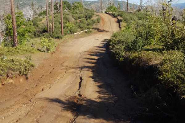
Jose Basin
This is the primary dirt road running through the Jose Creek Basin in the Sierra National Forest and connects the north end of Jose Basin Road to Auberry Road/Highway 168. It is wide enough in most places to allow vehicles to pass each other. Depending on the weather, there could be occasional muddy...
Learn more about Jose Basin
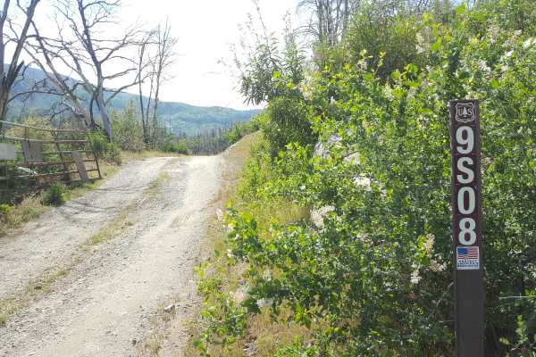
Sugarloaf - FS 9S08
This is a point-to-point single vehicle-width trail in the Jose Creek Basin area. The surface is primarily packed dirt with short stretches of gravel. There can also be shallow ruts and mud holes frequently along the route. This trail will pass through both a section of forest with fire damage and a...
Learn more about Sugarloaf - FS 9S08
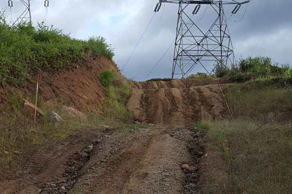
Rector Line 9S006
Rector Line (Forest Service Road 9S006) is a rugged backcountry route in the Sierra National Forest, best suited for high-clearance 4x4 rigs and seasoned drivers looking for a remote challenge near Shaver Lake. This trail stands out for its mix of decomposed granite, embedded rock, and steep, off-ca...
Learn more about Rector Line 9S006
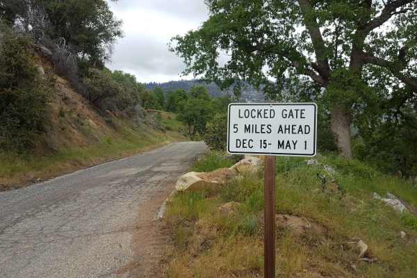
Peckinpah
Peckinpah Trail (FS Route 8S009) is a rugged backcountry route in the Sierra National Forest that challenges experienced offroaders with its rocky climbs and tight forested passages. Ideal for high-clearance 4WDs, dirt bikes, and ATVs, this technical trail offers a rewarding escape for those seeking...
Learn more about Peckinpah
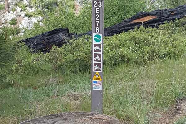
Pah - FS 23E276
This short trail is a single vehicle-width bypass off Peckinpah Road on the slope of Peckinpah Mountain. The surface is primarily dirt with embedded rocks and a short rocky ledge section. There can be shallow ruts and tight vegetation along the route. The trail can be traveled in either direction, b...
Learn more about Pah - FS 23E276
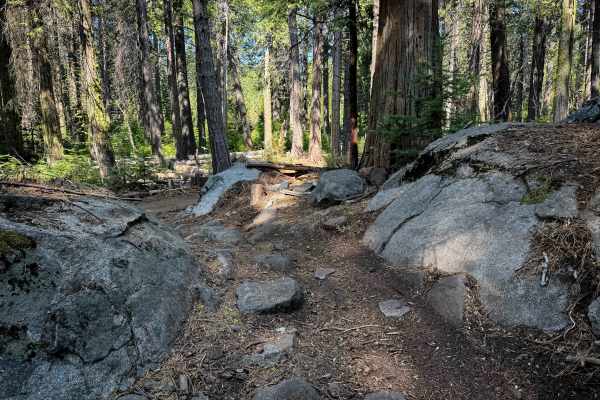
23E298
23E298 is a 1.1-mile-long easy ATV trail through the Whisky Falls trail system in the Sierra National Forest. The south end starts off wide and easy, between scrub oaks and tall pines, with gradual corners, great visibility, a little bit of whoops, but mostly smooth dirt covered in pinecones and pi...
Learn more about 23E298
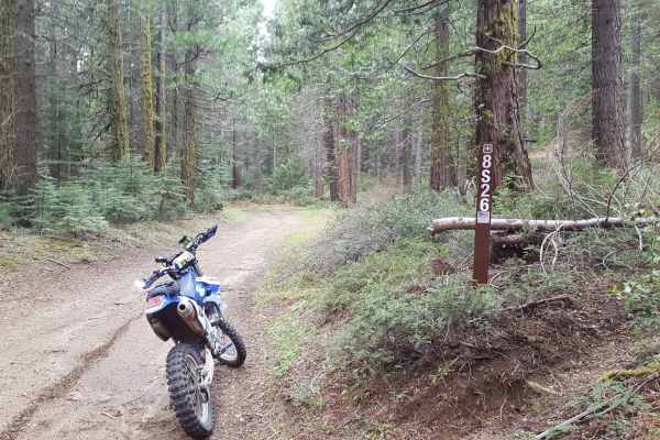
Peckinpah Meadow - FS 8S26
This is a point-to-point trail that creates a loop with Peckinpah Road. It runs past a large meadow area as well as along the mountainside, providing great scenic views of North Fork. The route is at least as wide as a full-size vehicle and has many wider areas allowing vehicles to pass each other e...
Learn more about Peckinpah Meadow - FS 8S26
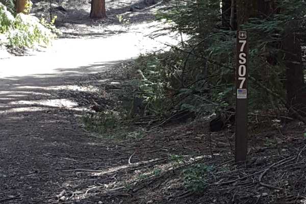
Fish Creek West - FS 7S007
This is a main FS road that will take you out towards Whiskey Ridge and through the Fish and Ross Creek areas, where you can access several other trailheads. Panoramic views of the surrounding forest are possible in sections of this route as it passes along the side of the mountain. The road is gene...
Learn more about Fish Creek West - FS 7S007
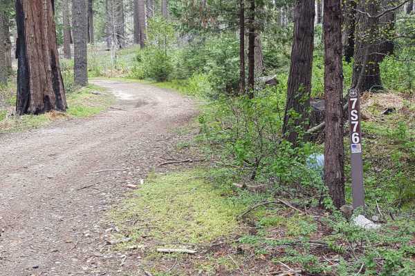
Ellis Meadow - FS 7S076
This point-to-point connector trail runs through wooded sections and a large meadow area near Roush Creek. The route is at least as wide as a full-size vehicle and has wider areas to allow vehicles to pass each other easily. The surface is primarily dirt with small embedded rocks. There can be occas...
Learn more about Ellis Meadow - FS 7S076
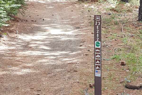
Peckin - FS 23E232
This is a short, narrow and fun point-to-point trail that connects Peckinpah Road with Peckinpah Meadow. It winds down the slope on the mountainside through a wooded area and a section with some forest fire damage. The surface is primarily dirt, but also has several rock garden sections with obstacl...
Learn more about Peckin - FS 23E232
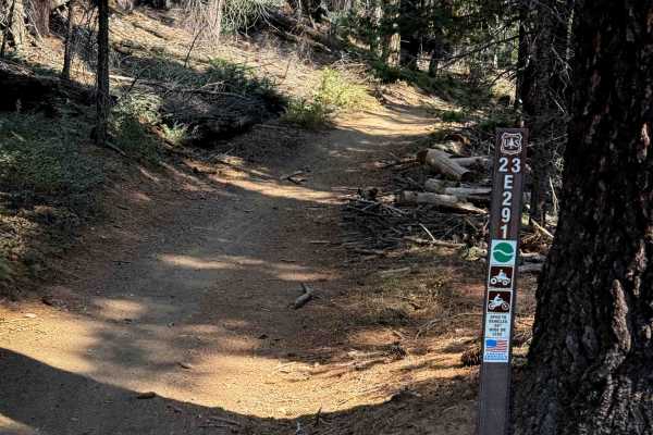
23E291
This trail starts at the end of 23E268 and continues north on a similar path. It’s a wide dirt two-track that winds through the pine trees, sometimes with the trees closely lining the path, but with a lot of visibility through the trees. The trail is super easy, being mostly flat, with just minor bu...
Learn more about 23E291
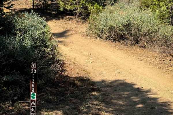
23E268
This is a short ATV trail that connects from the Forest Service road FS 8S065A up to 23E291. It starts off with a semi-steep climb from the southeast end, with loose rocks and shallow ruts, for the first hundred yards. Then it mellows out in grade, continuing with a steady, gradual climb for the res...
Learn more about 23E268
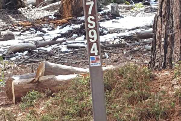
Seven Rocks - FS 7S94
This trail winds along the side of Peckinpah Mountain and is generally only single vehicle-width at best in most places. The surface consists primarily of packed dirt with embedded small and larger rocks. There are a few short rocky ledge sections, and ruts and mud holes can be present along the rou...
Learn more about Seven Rocks - FS 7S94
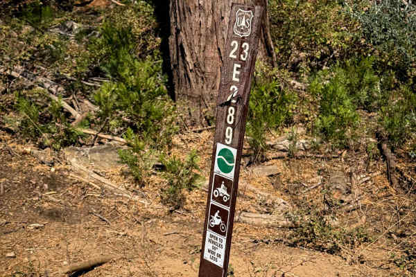
23E289
This is one of the longer and easier ATV trails in the Whisky Falls trail system, at 1.4 miles long and rated Easy by the Forest Service. It’s a mostly gradual and wide path through the pine forest, with gradual sweeping curves through the trees, gaining 250 feet during a steady incline from south t...
Learn more about 23E289
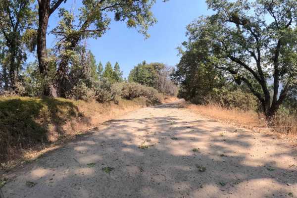
China Wells - FS 6S015
China Wells (FS 6S015) serves as the primary "spinal cord" of the Miami Mountain OHV system. This wide, well-graded forest service road runs north-south through the network, connecting the popular Kamook Staging Area to the southern reaches of the trail system. Unlike the tight, twisty spurs that br...
Learn more about China Wells - FS 6S015
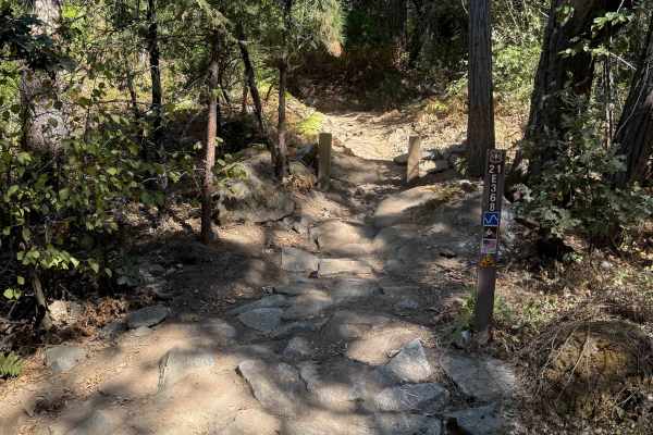
21E368
This is one of the longer and more difficult single tracks in the Miami OHV area. It starts with a small rock feature on the south end, where you have to go up a small ramped rock ledge in order to enter the trail. It continues on a shelfy hillside, weaving around the hill, over a couple of bridges,...
Learn more about 21E368
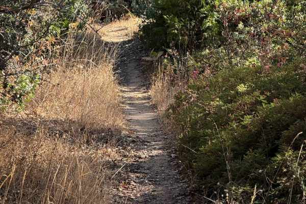
21E201
This is a short segment of single track that connects dirt bike trails 21E338 and 21E203. It is an easy segment of trail that weaves underneath a canopy of black oak trees and manzanita, tightly lined with scraggly bushes and scrub oak that encroach into the trail at times. The trail should be ideal...
Learn more about 21E201
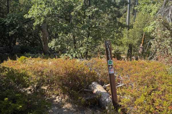
21E203
This is a short segment of single track, less than half a mile long, that weaves through a scenic forest of oak trees, Jeffrey pine, manzanita, and scrub oak. It is a narrow and winding trail, but it remains smooth and flowy the whole way, making it fun and approachable for less experienced riders. ...
Learn more about 21E203
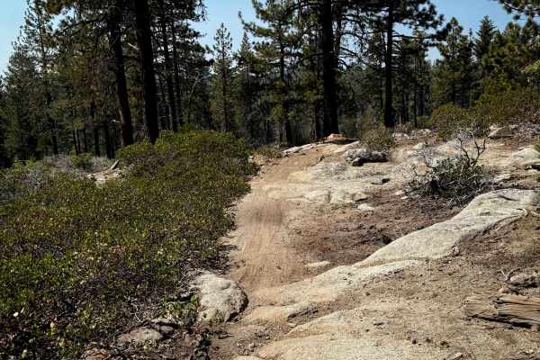
23E293
This 1.2-mile-long ATV route is full of embedded rock slabs and embedded boulders that make it more of a moderate route, ideal for riders with more experience. From the north end, it starts through a dry forest terrain and goes over white rock slabs, up and down 1-foot-tall rock ledges and stair ste...
Learn more about 23E293
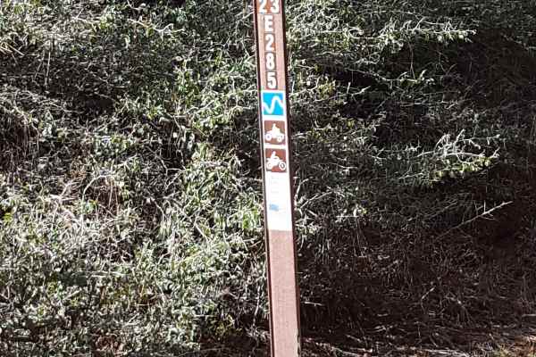
Browns Trail - FS 23E285
This is a short, narrow point-to-point trail through a wooded area on the side of Peckinpah Mountain. The trail surface primarily consists of packed dirt with embedded small rocks. There are also ruts and rock garden areas along the route. Depending on the season and weather, there may be several sh...
Learn more about Browns Trail - FS 23E285
ATV trails near Biola, California
Explore ATV-friendly trails near you. These trails are accessible for vehicles up to 50 inches wide, perfect for ATVs and smaller off-road machines.
Jose Basin
This is the primary dirt road running through the Jose Creek Basin in the Sierra National Forest and connects the north end of Jose Basin Road to Auberry Road/Highway 168. It is wide enough in most places to allow vehicles to pass each other. Depending on the weather, there could be occasional muddy...
Learn more about Jose Basin
Sugarloaf - FS 9S08
This is a point-to-point single vehicle-width trail in the Jose Creek Basin area. The surface is primarily packed dirt with short stretches of gravel. There can also be shallow ruts and mud holes frequently along the route. This trail will pass through both a section of forest with fire damage and a...
Learn more about Sugarloaf - FS 9S08
Rector Line 9S006
Rector Line (Forest Service Road 9S006) is a rugged backcountry route in the Sierra National Forest, best suited for high-clearance 4x4 rigs and seasoned drivers looking for a remote challenge near Shaver Lake. This trail stands out for its mix of decomposed granite, embedded rock, and steep, off-ca...
Learn more about Rector Line 9S006
Peckinpah
Peckinpah Trail (FS Route 8S009) is a rugged backcountry route in the Sierra National Forest that challenges experienced offroaders with its rocky climbs and tight forested passages. Ideal for high-clearance 4WDs, dirt bikes, and ATVs, this technical trail offers a rewarding escape for those seeking...
Learn more about Peckinpah
UTV/side-by-side trails near Biola, California
Find UTV and side-by-side trails near you. These trails accommodate vehicles up to 60 inches wide, ideal for UTVs, side-by-sides, and wider off-road rigs.
Jose Basin
This is the primary dirt road running through the Jose Creek Basin in the Sierra National Forest and connects the north end of Jose Basin Road to Auberry Road/Highway 168. It is wide enough in most places to allow vehicles to pass each other. Depending on the weather, there could be occasional muddy...
Learn more about Jose Basin
Sugarloaf - FS 9S08
This is a point-to-point single vehicle-width trail in the Jose Creek Basin area. The surface is primarily packed dirt with short stretches of gravel. There can also be shallow ruts and mud holes frequently along the route. This trail will pass through both a section of forest with fire damage and a...
Learn more about Sugarloaf - FS 9S08
Rector Line 9S006
Rector Line (Forest Service Road 9S006) is a rugged backcountry route in the Sierra National Forest, best suited for high-clearance 4x4 rigs and seasoned drivers looking for a remote challenge near Shaver Lake. This trail stands out for its mix of decomposed granite, embedded rock, and steep, off-ca...
Learn more about Rector Line 9S006
Peckinpah
Peckinpah Trail (FS Route 8S009) is a rugged backcountry route in the Sierra National Forest that challenges experienced offroaders with its rocky climbs and tight forested passages. Ideal for high-clearance 4WDs, dirt bikes, and ATVs, this technical trail offers a rewarding escape for those seeking...
Learn more about Peckinpah
The onX Offroad Difference
onX Offroad combines trail photos, descriptions, difficulty ratings, width restrictions, seasonality, and more in a user-friendly interface. Available on all devices, with offline access and full compatibility with CarPlay and Android Auto. Discover what you're missing today!
Open Trail Map