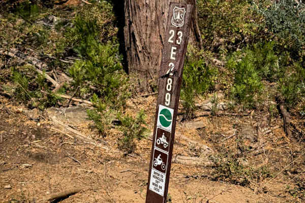
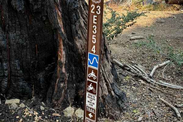
Trail Overview
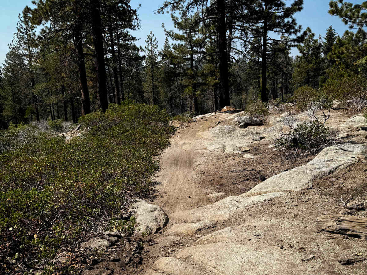
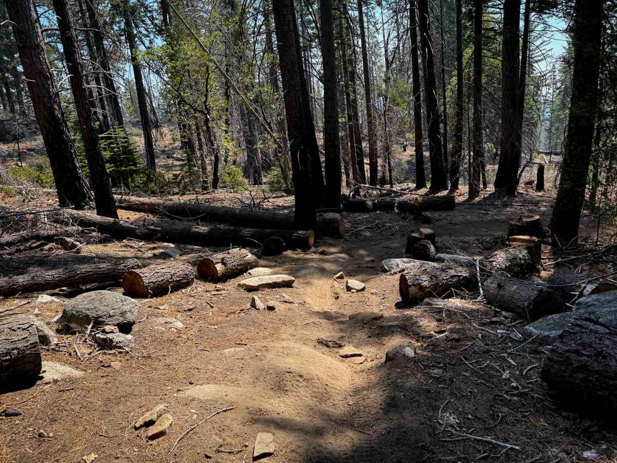
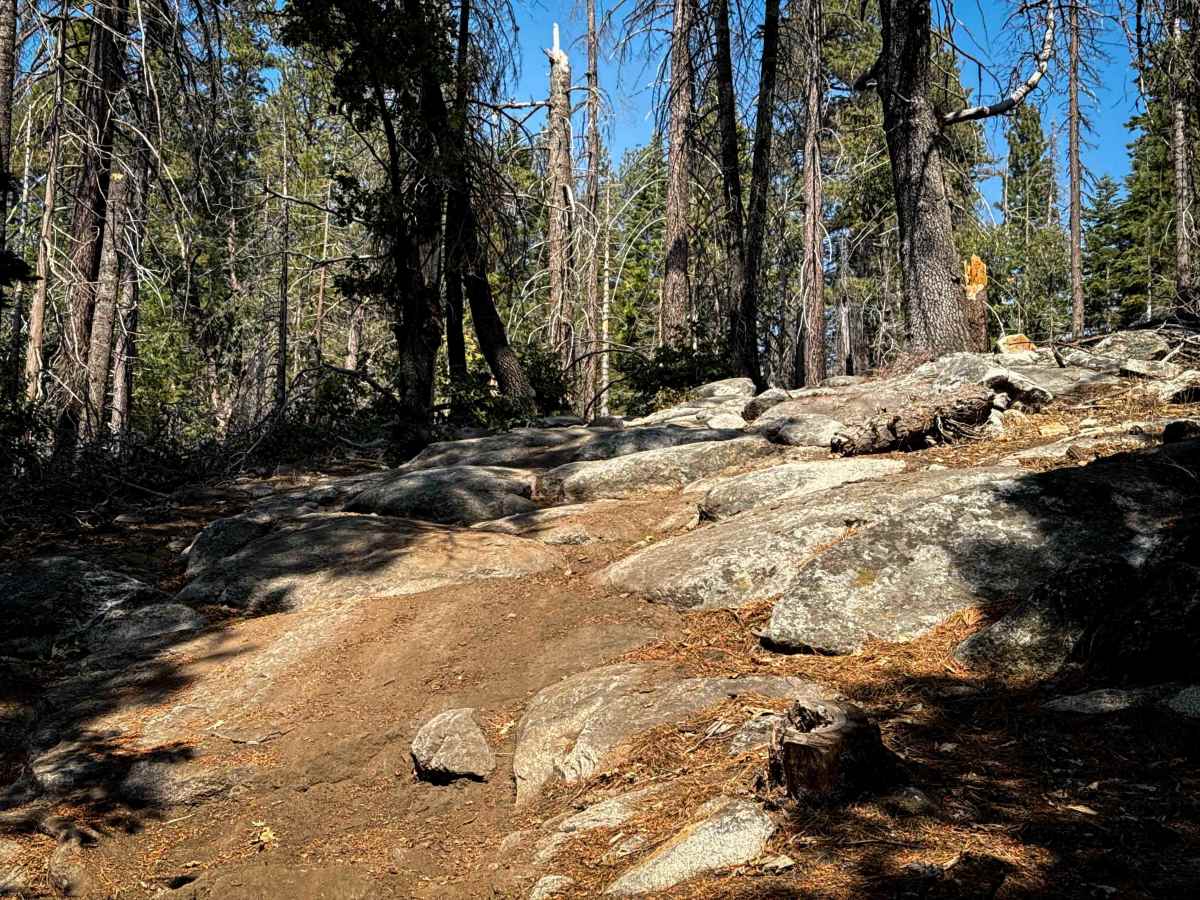
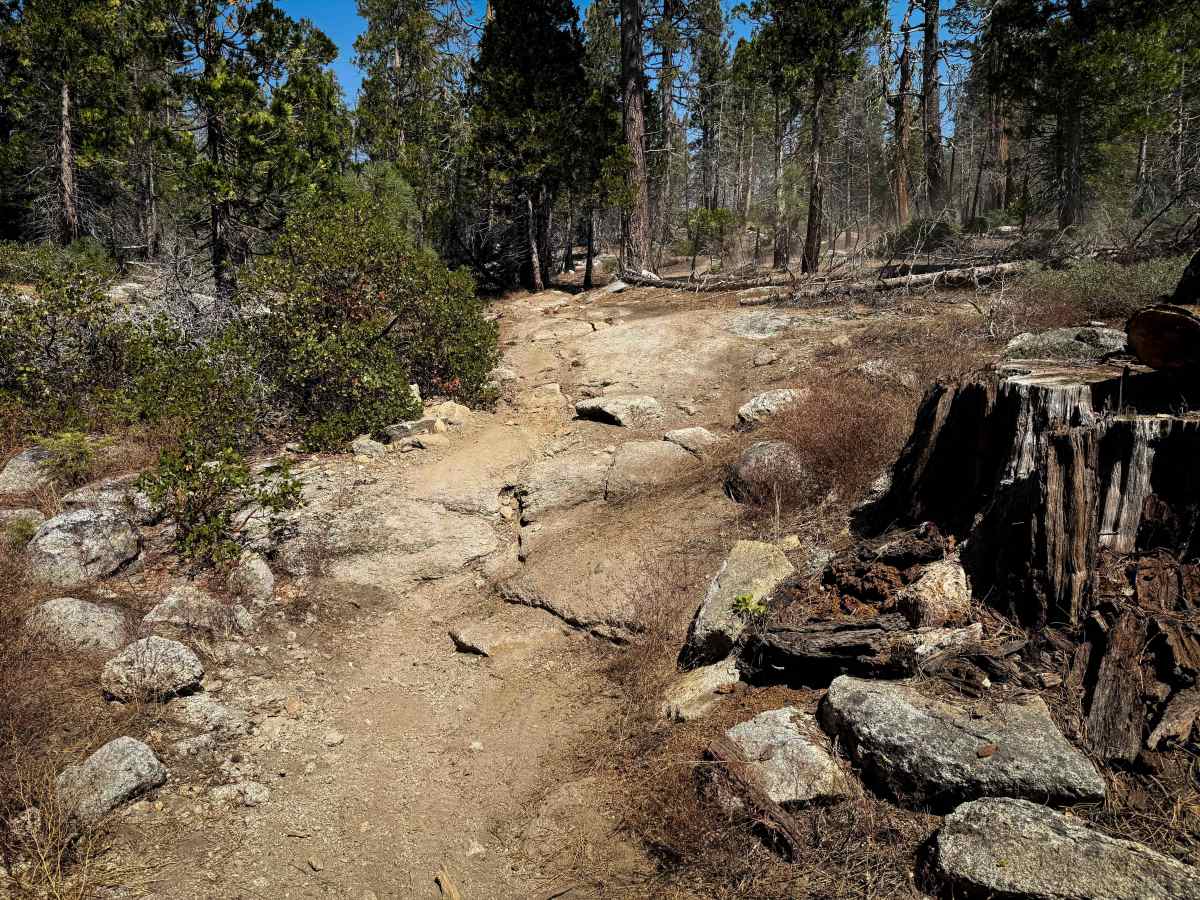
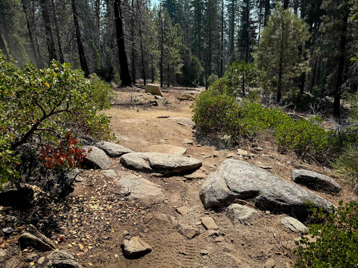
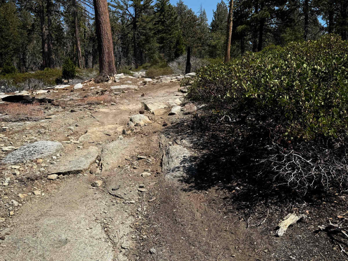
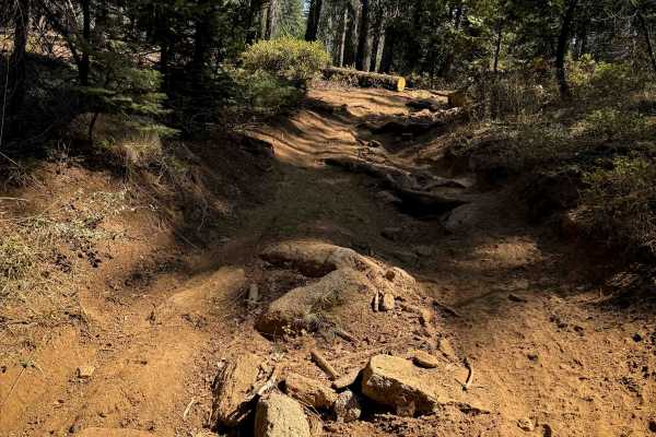
This 1.2-mile-long ATV route is full of embedded rock slabs and embedded boulders that make it more of a moderate route, ideal for riders with more experience. From the north end, it starts through a dry forest terrain and goes over white rock slabs, up and down 1-foot-tall rock ledges and stair steps, sometimes with several embedded layers and stair steps in a row on a steep slope. Ruts and roots are mixed in with the rocks, making them more technical. The first quarter mile is pretty steep with some of the hardest rock obstacles. Then it has a brief, easier section, as it keeps descending down on a smoother dirt path, weaving between the pine trees. Several more embedded rock layers and boulders come up again that you have to ride over, and it goes through a very shallow, small creek crossing. The last southern portion goes along a shelfy, but wide and easy, path through the forest before connecting to 23E354.
Difficulty
This is a moderate route due to several embedded rock features and obstacles, which appear throughout the entire route. There are easy portions in between the obstacles, but they will require more experience to get up and down the embedded rock features.