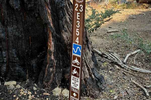
Trail Overview
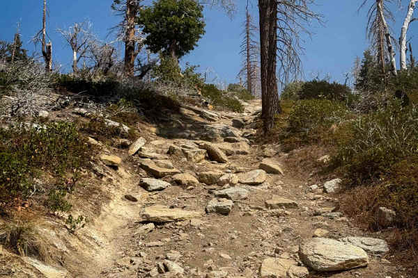
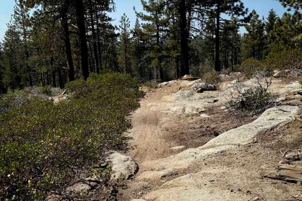
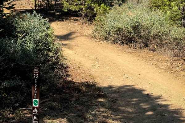
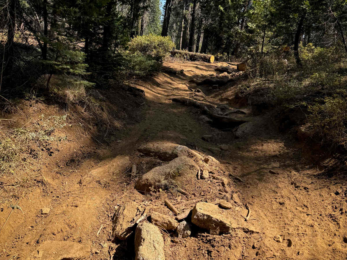
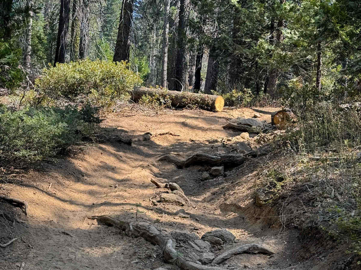
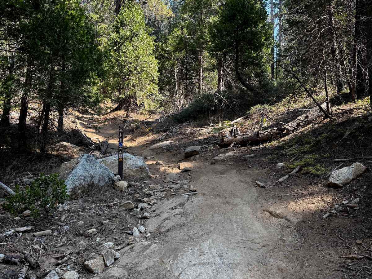
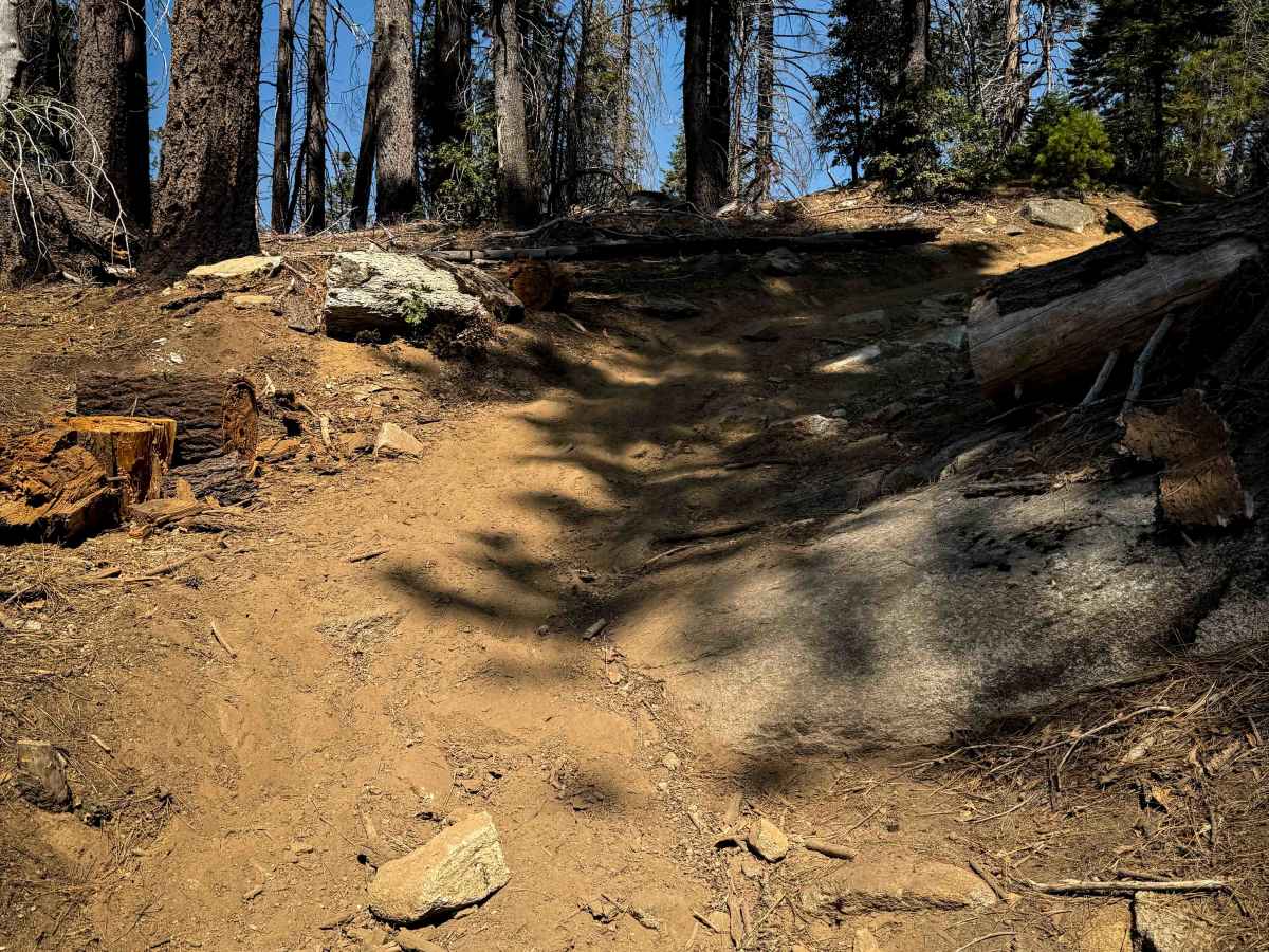
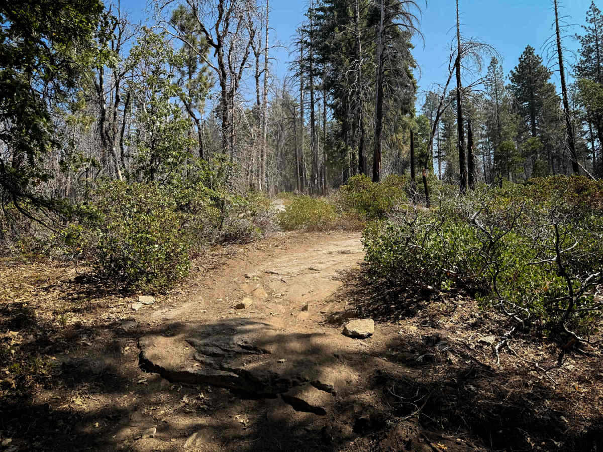
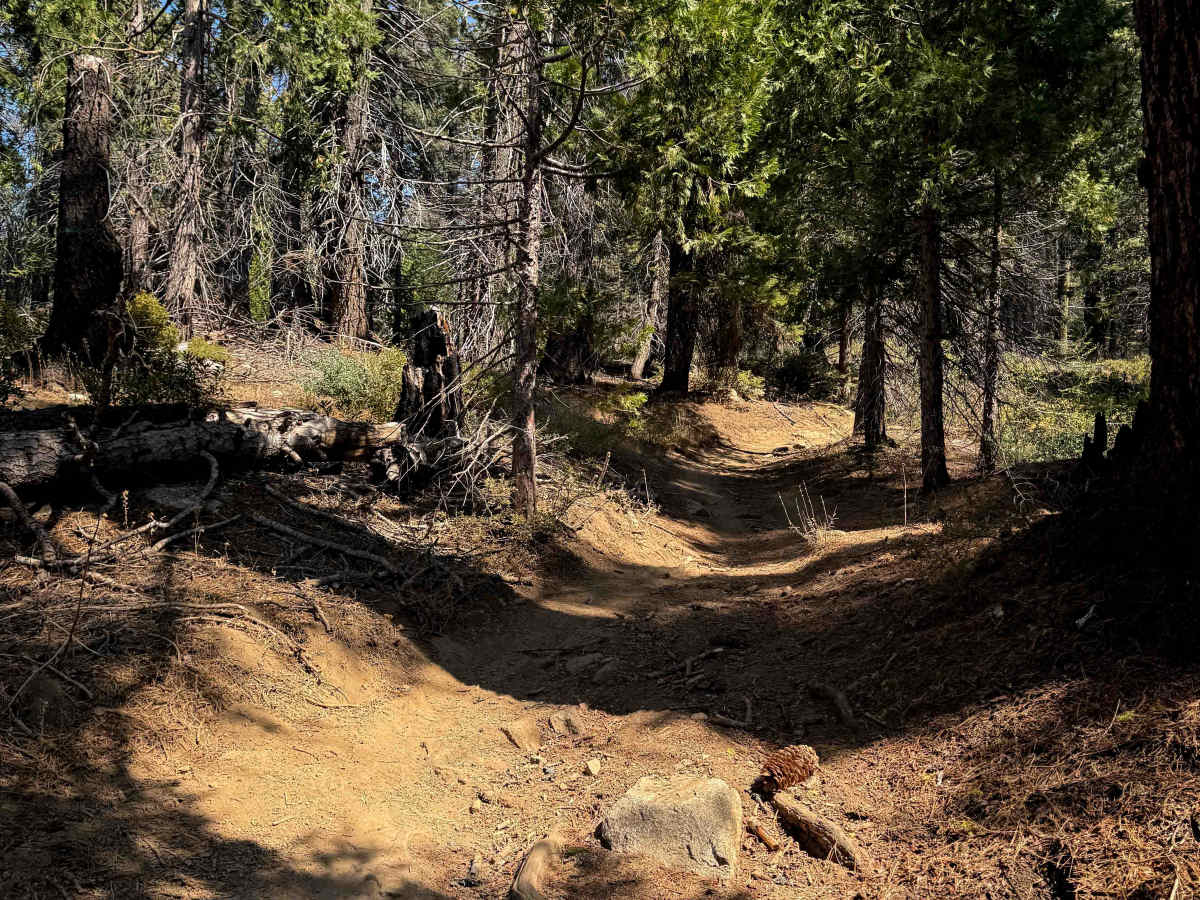
Although only half a mile long, this is a more moderate ATV trail option in the Whisky Falls trail system, fun for riders looking for more of a challenge. It steeply climbs from west to east on a path full of embedded boulders and small root ledges. Also expect shallow ruts filled in with big loose rocks or debris on a steep slope. There are several embedded boulders within the middle of the path all throughout the route, that will cause some articulation and a bit of an off-camber slope. They aren’t overly difficult ledges, but due to the steep grade, they will be more difficult for the novice rider. It continues with a loose rocky climb until it tops out on the hilltop, and meanders through the open hilltop with more embedded rock faces and gradual curves through the pine trees, ending on FS 7S008 across from the entrance to 23E281. This trail is closed seasonally from 12/16 – 4/14.
Difficulty
This is a moderate ATV trail because there are frequent embedded boulders and small root ledges all throughout the route. Although it’s only a half mile long, it’s steep and more technical due to the rocks and roots.