
Dirt Bike Trails
Near Augusta, Montana
Explore All Dirt Bike Trails Near Augusta, Montana
Dirt Bike Trails Near Augusta, Montana
Discover the best dirt bike trails near you. Browse trail maps, check difficulty ratings, and find your next adventure — whether you're looking for a quick ride or an all-day expedition.
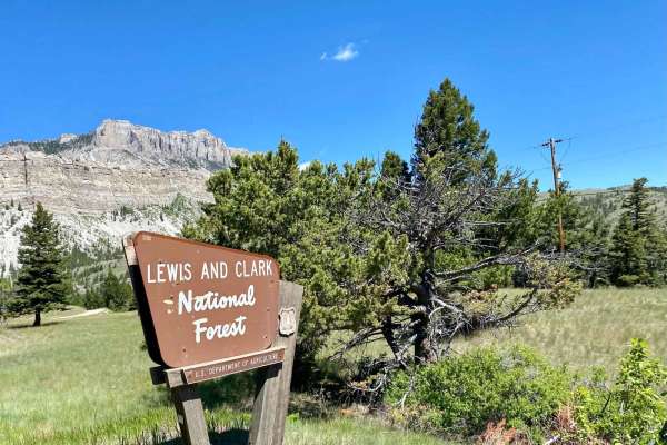
Sun Canyon Road
This is a two-lane dirt road that gives you access to amazing views, campgrounds, ATV trails, hiking and packing trails, picnic sites, and ending at the amazing Gibson Reservoir. From the Gibson Reservoir, you can access the Bob Marshall Wilderness by foot, boot, or horse. This is a nice and easy dr...
Learn more about Sun Canyon Road
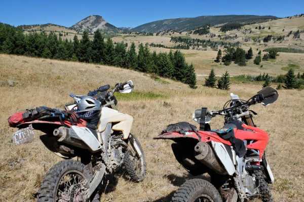
Ford Basin to Home/Lime Gulch
Don't forget your onX Offroad App for this trail that is not often travelled. It is very difficult to stay on the track without it. The route is short but sustained. Bring a chainsaw when attempting this route into mid summer because of the little traffic it sees. Some areas may see increased dif...
Learn more about Ford Basin to Home/Lime Gulch
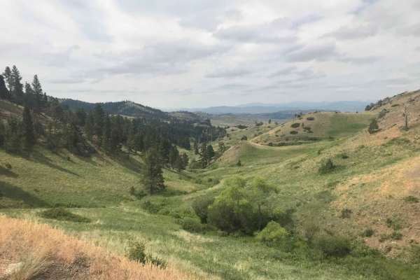
St. Peters Mission
The Adel Mountains are a geologist's dream to experience. Filled with small laccoliths and dikes, this igneous complex dates to approximately 65 million years ago. The resulting topography is that of rolling hills, lush had meadow valleys, and prominent igneous ridges and buttes. A beautiful vista i...
Learn more about St. Peters Mission
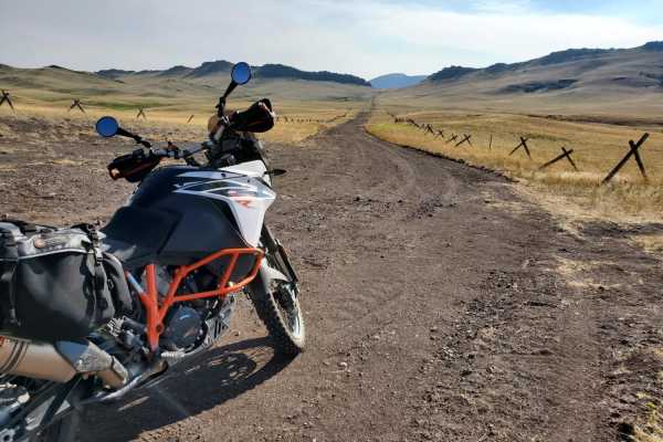
Dead Man Gulch
This is a fun ranch road, typically used as a connector to avoid pavement on a large ADV bike. It's a fast and flowy road on a bike, faster now that it's been recently graded. It used to be much more rutted from erosion. Some sections of this short trail can be impassable when wet due to extremely g...
Learn more about Dead Man Gulch
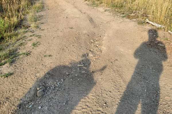
Little Wolf Creek Road
This is a super fun road on a large ADV bike. Preferred direction is south to north so you're riding uphill. It begins at an ATV park then through residential area but fun up on the pegs. It starts climbing and gets a little loose with small ledges. Then the trail gets loose and slightly off camber ...
Learn more about Little Wolf Creek Road
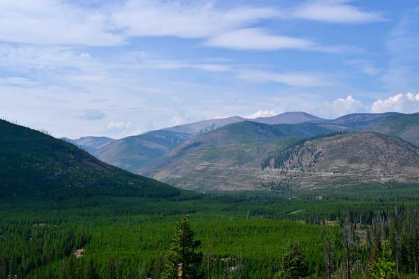
Indian Meadows
Indian Meadows is a hiking, camping, and equestrian destination area off Copper Creek Road. It's a multipurpose area that serves as a basecamp for local outfitters, trailhead parking for several hiking trails, and the Indian Meadows USFS guard station, which is available for rent via recreation.gov....
Learn more about Indian Meadows
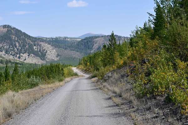
Copper Creek Road - FS 330
Copper Creek Road is an out-and-back, well-maintained Forest Service Road that leads to multiple points of interest, including the trailhead spur to Indian Meadows Trail/Indian Meadows campground and the Indian Meadows Guard station, which is available for rent in the winter months, catering mainly ...
Learn more about Copper Creek Road - FS 330
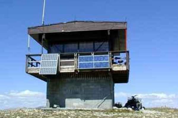
Stonewall Mountain Lookout
One of the more popular trails in the Lincoln Ranger District, the Stonewall Mountain trail takes visitors seemingly to the top of the world, with fantastic views of the Scapegoat Wilderness and the Upper Blackfoot Valley spread out below. The trail can either be started from the Keep Cool Connector...
Learn more about Stonewall Mountain Lookout
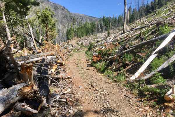
Stonewall Creek Road - FS 607E
The northern section of this Stonewall Creek (north of its intersection with Park Creek Road) is a fascinating climb into the mountains, ending in an old patented mining claim. The trail is a narrow single-lane road, surfaced with native material, mainly rocks. There are several loose rocky ascent...
Learn more about Stonewall Creek Road - FS 607E
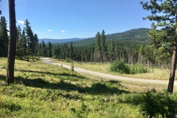
Park Creek Road - FS 607
Park Creek Road begins as a two-lane gravel road and gradually deteriorates to a wide single-lane dirt and rock surface. The road passes through mature stands of mixed conifers and occasional stands of alder. There are breaks in the trees that provide impressive overviews of the Lincoln Valley. A...
Learn more about Park Creek Road - FS 607
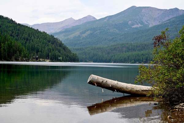
Coopers Lake
Great run between Lincoln, Montana, and Coopers Lake, which is an Alpine lake in Lolo National Forest. The lake is very reminiscent of Lake Macdonald in Glacier, to some extent. Generally smooth trail, well-maintained and graded. Lots of wildlife, we spooked a good-sized bear around one turn in the ...
Learn more about Coopers Lake

Sucker Creek - FS 1800
As are most of the trails in the Lincoln, Montana area, this is a fairly smooth connector that branches into a series of other trails that traverse the Flathead Range north of Lincoln. Many of these trails evolve into snowmobile trails in the winter, which this area of Montana has no shortage of. Si...
Learn more about Sucker Creek - FS 1800
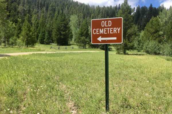
Lincoln Gulch Road
Lincoln Gulch Road is a well-maintained, gravel, two-lane road, with the exception of the last mile. However, that last mile is the most interesting of the route, with historical evidence of mining activity, an old cemetery, and the location of the remains of the old mining town of Lincoln Gulch. T...
Learn more about Lincoln Gulch Road
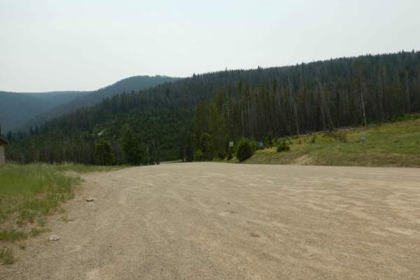
Stemple Pass
The Stemple Pass Road is a quick and scenic escape route to the small mountain town of Lincoln, Montana. The road, while well-maintained, does have things of which to be cautious. Loose gravel and numerous blind corners could be concerning to those on two wheels. In the summer months, this can be a ...
Learn more about Stemple Pass
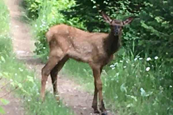
Lincoln View ATV Trail
Lincoln View ATV Trail is eleven miles of pure joy for ATV and motorcycle riders. This trail, numbered trail # 471, was created by joining some abandoned logging roads to some newly constructed ATV trails to form a substantial and enjoyable route specifically for motorized vehicles less than or equ...
Learn more about Lincoln View ATV Trail

Lone Point Drive - FS 1824
Lone Point Drive is a nice, gravel, single-lane road that passes through beautiful dense stands of mixed conifers and occasional stands of aspen. As the road gains elevation, there are occasional openings that provide opportunities for panoramic views of the Lincoln Valley. Overall, this is a typi...
Learn more about Lone Point Drive - FS 1824
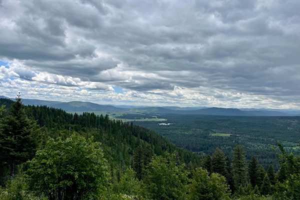
McCabe Loop(Red Hills)
This narrow two-track loop is the less traveled access point to the McCabe Loop Hiking trailhead. This route offers amazing vistas and viewpoints as it crosses the higher hillside. There are outstanding views of the valley below as you climb higher and higher. There are some wet, muddy sections afte...
Learn more about McCabe Loop(Red Hills)

Poorman Creek
This is a reasonably rocky two-track connector trail that leads from Stemple Pass Road to Forest Service Road 485 just south of the intersection with Granite Butte Lookout. The idea was to find a bit more technical trail in the area than gravel Forest roads, and this one delivered. Fun, rocky two-tr...
Learn more about Poorman Creek
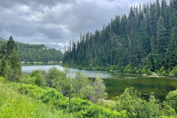
Cottonwood Lakes
This scenic trail runs across the valley and is an excellent jumping-off point to explore the many trails in the area. With a keen eye, one will spot many short pullouts with nice spots to disperse camp. Watch for bicycles on this trail, as this is a popular mountain biking route. Plenty of creek cr...
Learn more about Cottonwood Lakes
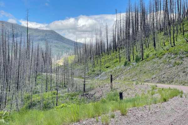
Dunham Creek
This well-maintained out-and-back trail is a pure treat to drive. Unfortunately, there was a large wildfire that swept through the canyon. But the views it left behind are spectacular. Rocky hillsides, waterfalls and creeks flowing. All these beautiful sights would have been hidden by the dense fore...
Learn more about Dunham Creek
ATV trails near Augusta, Montana
Explore ATV-friendly trails near you. These trails are accessible for vehicles up to 50 inches wide, perfect for ATVs and smaller off-road machines.
Sun Canyon Road
This is a two-lane dirt road that gives you access to amazing views, campgrounds, ATV trails, hiking and packing trails, picnic sites, and ending at the amazing Gibson Reservoir. From the Gibson Reservoir, you can access the Bob Marshall Wilderness by foot, boot, or horse. This is a nice and easy dr...
Learn more about Sun Canyon Road
St. Peters Mission
The Adel Mountains are a geologist's dream to experience. Filled with small laccoliths and dikes, this igneous complex dates to approximately 65 million years ago. The resulting topography is that of rolling hills, lush had meadow valleys, and prominent igneous ridges and buttes. A beautiful vista i...
Learn more about St. Peters Mission
Dead Man Gulch
This is a fun ranch road, typically used as a connector to avoid pavement on a large ADV bike. It's a fast and flowy road on a bike, faster now that it's been recently graded. It used to be much more rutted from erosion. Some sections of this short trail can be impassable when wet due to extremely g...
Learn more about Dead Man Gulch
Little Wolf Creek Road
This is a super fun road on a large ADV bike. Preferred direction is south to north so you're riding uphill. It begins at an ATV park then through residential area but fun up on the pegs. It starts climbing and gets a little loose with small ledges. Then the trail gets loose and slightly off camber ...
Learn more about Little Wolf Creek Road
UTV/side-by-side trails near Augusta, Montana
Find UTV and side-by-side trails near you. These trails accommodate vehicles up to 60 inches wide, ideal for UTVs, side-by-sides, and wider off-road rigs.
Sun Canyon Road
This is a two-lane dirt road that gives you access to amazing views, campgrounds, ATV trails, hiking and packing trails, picnic sites, and ending at the amazing Gibson Reservoir. From the Gibson Reservoir, you can access the Bob Marshall Wilderness by foot, boot, or horse. This is a nice and easy dr...
Learn more about Sun Canyon Road
St. Peters Mission
The Adel Mountains are a geologist's dream to experience. Filled with small laccoliths and dikes, this igneous complex dates to approximately 65 million years ago. The resulting topography is that of rolling hills, lush had meadow valleys, and prominent igneous ridges and buttes. A beautiful vista i...
Learn more about St. Peters Mission
Dead Man Gulch
This is a fun ranch road, typically used as a connector to avoid pavement on a large ADV bike. It's a fast and flowy road on a bike, faster now that it's been recently graded. It used to be much more rutted from erosion. Some sections of this short trail can be impassable when wet due to extremely g...
Learn more about Dead Man Gulch
Little Wolf Creek Road
This is a super fun road on a large ADV bike. Preferred direction is south to north so you're riding uphill. It begins at an ATV park then through residential area but fun up on the pegs. It starts climbing and gets a little loose with small ledges. Then the trail gets loose and slightly off camber ...
Learn more about Little Wolf Creek Road
The onX Offroad Difference
onX Offroad combines trail photos, descriptions, difficulty ratings, width restrictions, seasonality, and more in a user-friendly interface. Available on all devices, with offline access and full compatibility with CarPlay and Android Auto. Discover what you're missing today!
Open Trail Map