Trail Overview
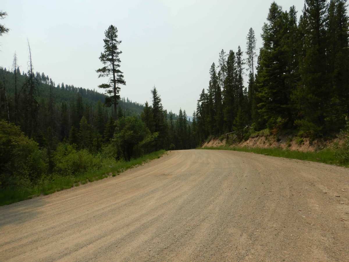
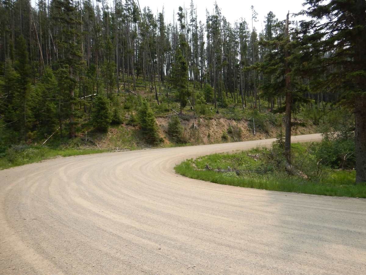
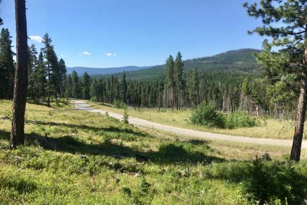
Stemple Pass is an ideal, scenic dirt-and-gravel route for beginners, families, and dual-sport riders seeking a straightforward mountain escape near Lincoln, Montana. Spanning approximately 23 miles between Highway 200 and Highway 279, this well-maintained corridor traverses the scenic peaks of the Helena-Lewis and Clark National Forest, offering stunning vistas of Baldy Mountain and Granite Butte. The route reaches a peak elevation of 6,376 feet, climbing gently over 1,841 feet of elevation gain along wide, graded surfaces that are easily managed by standard four-wheel-drive vehicles, stock SUVs, and side-by-sides (SxSs) during the summer and fall. Drivers should remain alert for blind corners, loose gravel sections, and occasional washboards, particularly as the route winds through dense evergreen forests and open ridgelines.
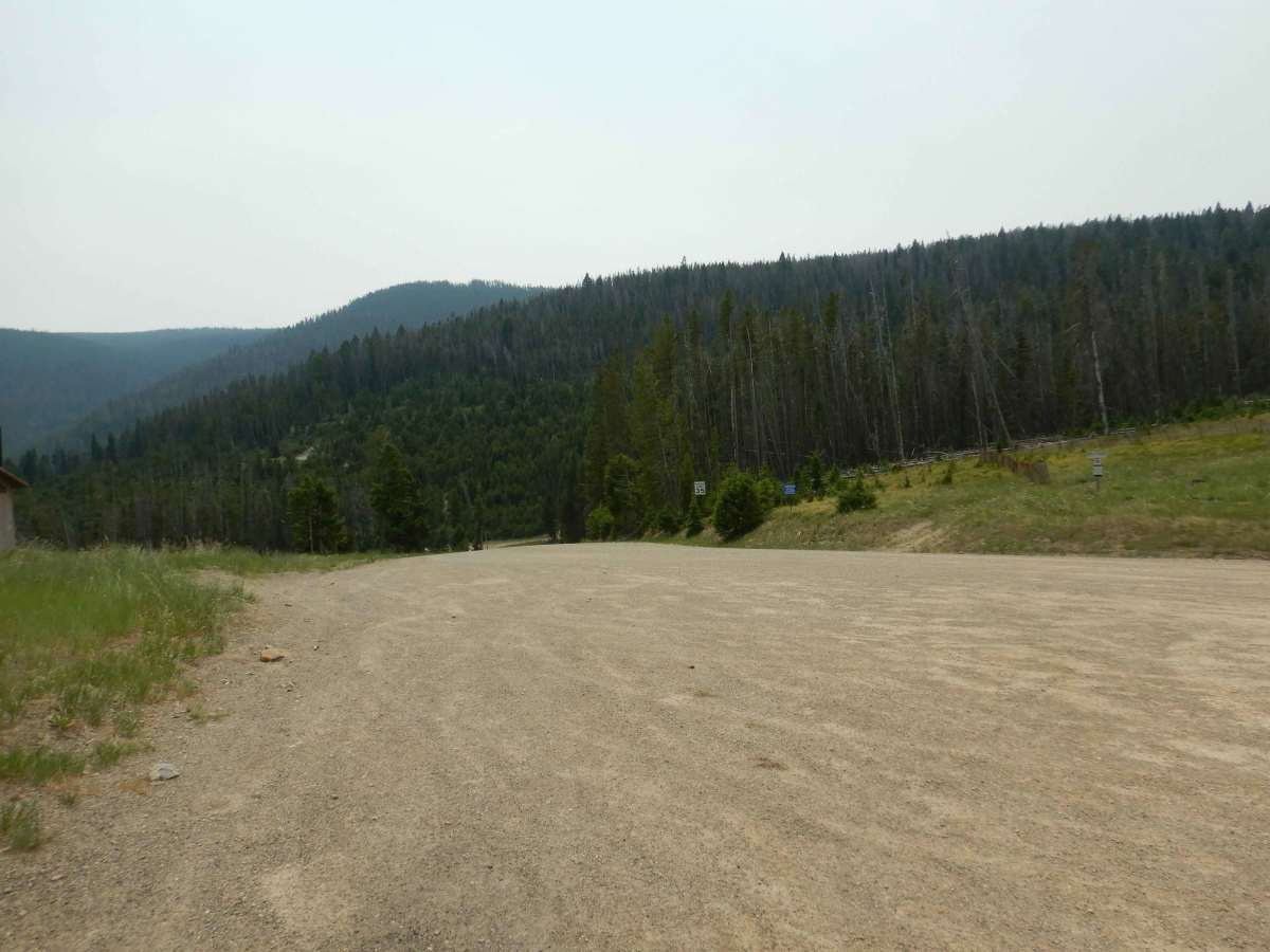
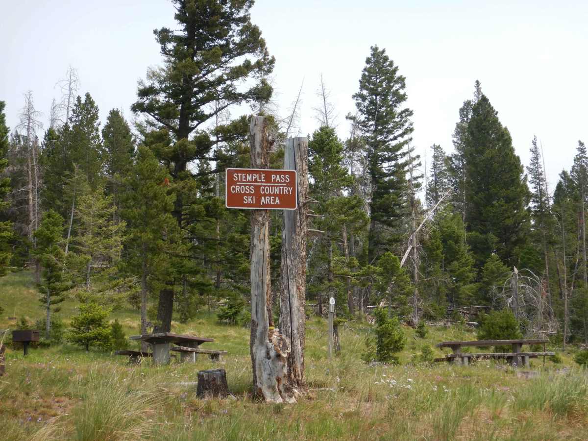
At the summit, a spacious parking area equipped with restroom facilities serves as a central hub for various recreational activities, including hiking, huckleberry picking, and dispersed camping. As the seasons transition, winter snowfall transforms the pass into a popular haven for cross-country skiers and snowshoers, though the route becomes impassable for standard two-wheel-drive vehicles. During these colder months, high-clearance four-wheel-drive capability or traction aids are essential to navigate the packed snow. Whether visiting for a quick summer afternoon drive or a snowy winter adventure, this historic passageway provides a reliable, low-difficulty passage through the scenic Montana high country.