
Dirt Bike Trails
Near Athol, Idaho
Explore All Dirt Bike Trails Near Athol, Idaho
Dirt Bike Trails Near Athol, Idaho
Discover the best dirt bike trails near you. Browse trail maps, check difficulty ratings, and find your next adventure — whether you're looking for a quick ride or an all-day expedition.
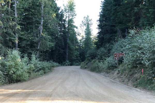
Johnson/Lakeview Rd. #278
This is a dirt road with small ruts and occasional deep ruts, clear width for large vehicles, and many off-shoot narrow trails for ATVs or dirt bikes.
Learn more about Johnson/Lakeview Rd. #278
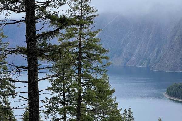
Cape Horn Mountain
This is a very scenic route out of Bayview. There are breathtaking views of the town and Lake Pend Oreille. The road starts as an easy fairly smooth road but after a couple of miles, it gets more rutted and rough. Choosing the correct line is required in a few spots for stock 4X4s, but anything lift...
Learn more about Cape Horn Mountain
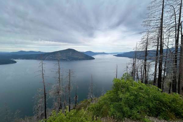
West Gold
West Gold is a more challenging and much rougher route to Lakeview but the views are worth it. Shortly after the start, there is a spur that takes you to the top of Bernard Peak. After that, the road is mostly single-lane with wider spots to let traffic by. There are lots of ruts and rock sections t...
Learn more about West Gold
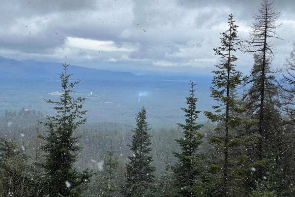
3 Sisters
This is an easy scenic route that can give you access to the 3 Sisters. The loop is very easy with any type of vehicle circling back to town on FS 297. There are great views of the mountains and the valley at multiple points along the way.
Learn more about 3 Sisters
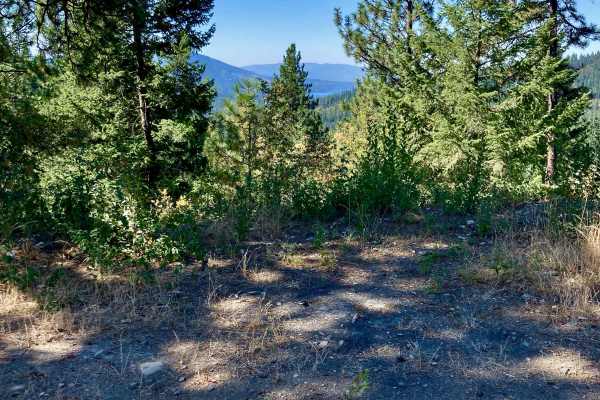
CDA-Hayden Lake View Route
Looking to check out the entire Rathdrum Prairie area? This is a great, scenic route featuring excellent views of the towns of Coeur d'Alene, Hayden, Athol, Rathdrum, and out to Post Falls. You also are treated to excellent vistas of Hayden Lake and the surrounding mountains. If you're new to the ar...
Learn more about CDA-Hayden Lake View Route
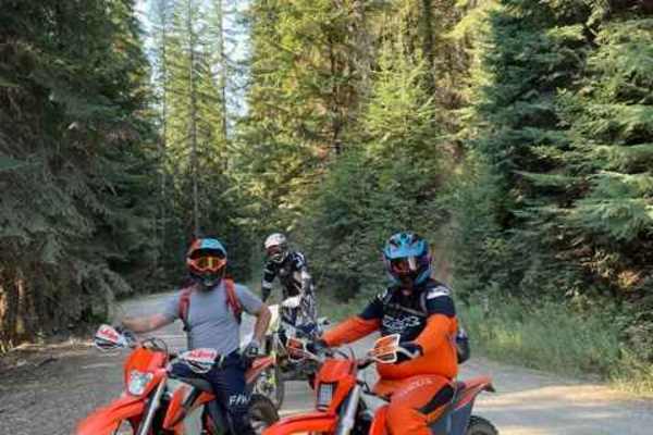
Hell's Canyon
Singletrack trail to connect Hayden Creek to the Spades Mountain Trails. The trail begins 5 miles up Hayden Creek Road from the end of the pavement. There is a parking area at the trailhead, although most people choose to ride the road to the trailhead. It can get heavy use. It is a 2-way trail, so ...
Learn more about Hell's Canyon
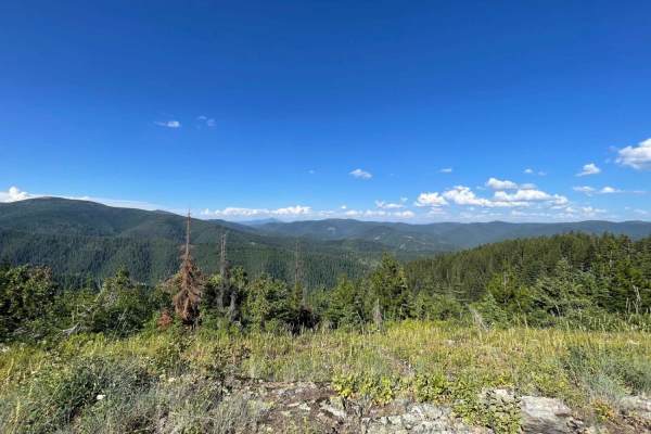
Badger Mountain
Although we "didn't see no stinking Badgers," we assume they must be around if this is the namesake. The trail starts with a narrow, rutted, and solid climb with some loose sections. About 3/4 of the way up, it becomes incredibly narrow even on a moto. Full-size vehicles will get paint damage. It's ...
Learn more about Badger Mountain
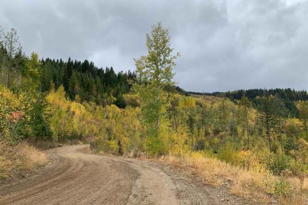
Mt Spokane via IEP Backroads
This route goes from Spirit Lake, ID to the top of Mt Spokane via Inland Empire Paper logging roads and Mt Spokane Nordic Trails. Starting from Brickel Creek Road (via IEP Brickel Creek Gate), to Idaho Road (M8), to Mica Road (M17), to Linder Ridge Road, through the IEP Mt. Spokane Gate and ending i...
Learn more about Mt Spokane via IEP Backroads
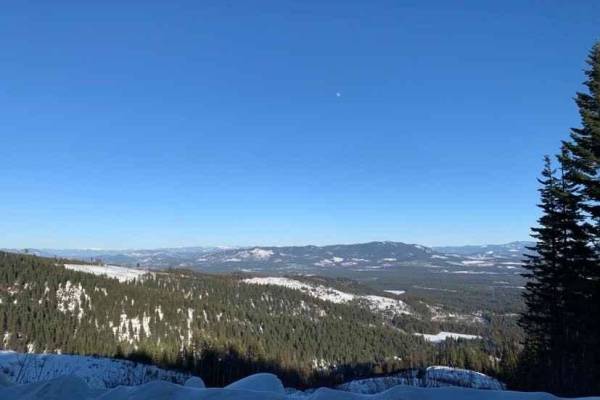
NF-2550 (HooDoo)
This route crosses over Mt HooDoo (elevation 5,119') from Blanchard to Priest River via National Forest Road 2550. The views up here are incredible on a clear day. Mt. Hoodoo is a popular spot for off-roading, hunting, and ATV's. It's also popular with snowmobilers during the winter months.
Learn more about NF-2550 (HooDoo)

LM 2697
You will need to air down before the trail. There is a staging area at the beginning of this trail. In the Summer and Fall, this is an easy smooth Forest Service Road for a 2-wheel drive. In the winter this is a more challenging. Grab a winch, your buddy, and a 6 pack. It is a great scenic drive, so...
Learn more about LM 2697
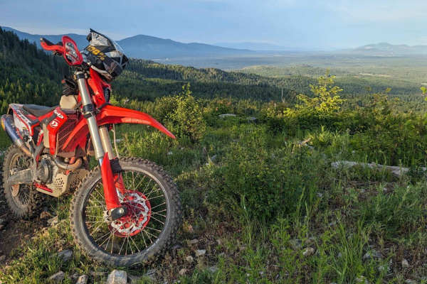
Little Blacktail Trail
Fun canyon with switchbacks and breathtaking mountain ridgelines that parallel Lake Pend Oreille. The trail is somewhat technical but would not consider this a "Hard Enduro". This is the middle connection section between Bayview and Talache Landing single track. This trail has a dirt bike and quad s...
Learn more about Little Blacktail Trail
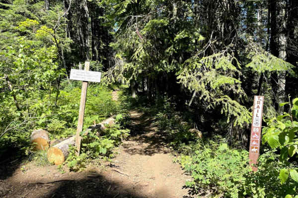
Nicholas Ridge
Nicholas Ridge Trail (No. 69) is a short single-track trail in the Coeur d'Alene National Forest mostly made up of narrow winding trail with scattered loose rocks on a loose dirt surface. From west to east, the single track departs from ATV trail 802 (Hudlow Meadows) and parallels the ATV trail for ...
Learn more about Nicholas Ridge
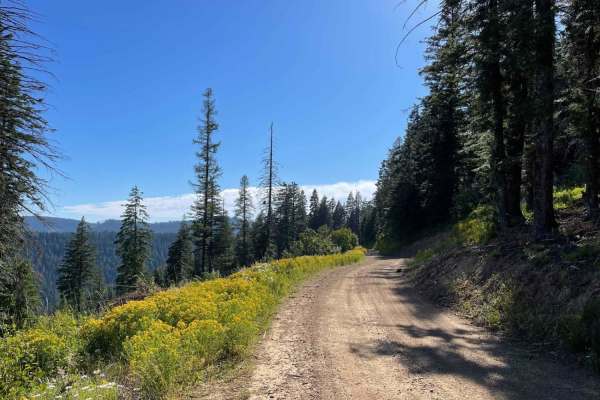
Spades Connection
What a great way to connect one set of routes to another. It's mostly graded and easy to follow, but some forestry work has been done in a few sections. The best part is now there's an epic view to see as you pass through. Be aware that single tracks and OHV trails cross over this trail. Cross-traff...
Learn more about Spades Connection
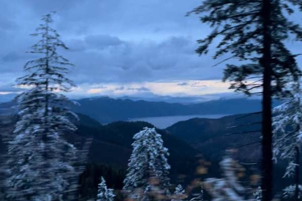
Faset Peak
This trail just starts out of the Bunco parking lot which is large enough for trailers. The trail start working up the mountain right away. It's an easy two-way dirt road Great view of the Mountain range all around and sometimes can see Lake Pend Oreille. You'll end up at the top of Faset Peak ther...
Learn more about Faset Peak
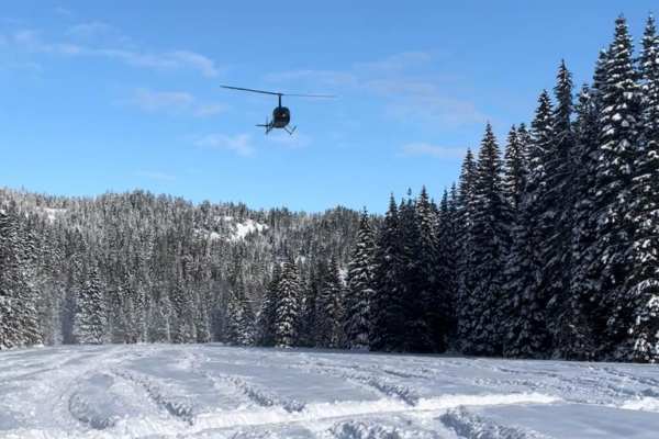
Horse Haven Airfield
Horse Haven Airfield is an easy, scenic 4.3-mile route perfect for beginners, families, and offroaders looking for a relaxed drive through the Idaho Panhandle National Forests. Winding along a quiet creek lined with towering pine trees, this narrow dirt Forest Service road offers a peaceful escape w...
Learn more about Horse Haven Airfield
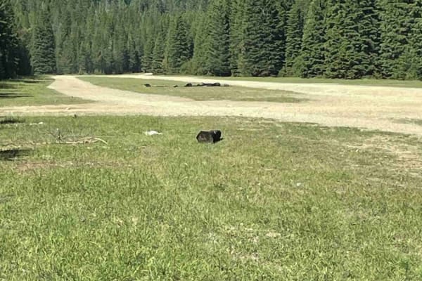
North Chilco Road
This well-graded road will continue North from Horse Haven Airfield (a World War II training site). You will find plenty of disbursed camping in this area. The grade is easy, but with years of heavy traffic, when wet, have created some decent-sized potholes and some rocky sections. Watch for wild be...
Learn more about North Chilco Road
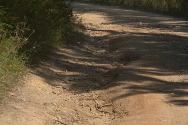
Crooked Ridge - FS 258
Crooked Ridge is a mostly maintained forest service road. As of September 2024, the trail is primarily dirt and gravel that has been grated in areas. There are some small sections where runoffs have created some divots however they are easily navigated and do not cause any significant issues.
Learn more about Crooked Ridge - FS 258
Canyon Fork Creek Road
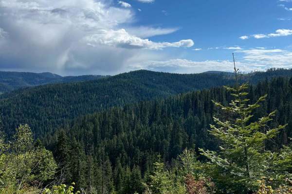
From the top, the road is wide and smooth with great views of the valley and surrounding mountains. Towards the bottom, the road gets steeper and more rough but drops into the creek valley which is heavily wooded and lush. Some camping spots along the creek have nice shade.
Learn more about Canyon Fork Creek Road

Solitaire Creek / Sob Creek 4WD
This is a fun, un-traveled trail from Horse Haven to Bunco Road. The road is narrow, primarily with limited pullouts. It is mostly smooth and could be done in 2WD with no problems, but there are a couple of creek crossings with steep departures, so a high-clearance rig is recommended.
Learn more about Solitaire Creek / Sob Creek 4WD

Canyon Fork
From east to west, Canyon Fork Trail starts off with several steep switchbacks on loose dirt with loose rocks. Trail is likely to be dusty in the summer. The trail levels out and is a moderate single track on a mostly smooth surface with several roots and mild cliff exposure. Much of the trail is in...
Learn more about Canyon Fork
ATV trails near Athol, Idaho
Explore ATV-friendly trails near you. These trails are accessible for vehicles up to 50 inches wide, perfect for ATVs and smaller off-road machines.
Johnson/Lakeview Rd. #278
This is a dirt road with small ruts and occasional deep ruts, clear width for large vehicles, and many off-shoot narrow trails for ATVs or dirt bikes.
Learn more about Johnson/Lakeview Rd. #278
Cape Horn Mountain
This is a very scenic route out of Bayview. There are breathtaking views of the town and Lake Pend Oreille. The road starts as an easy fairly smooth road but after a couple of miles, it gets more rutted and rough. Choosing the correct line is required in a few spots for stock 4X4s, but anything lift...
Learn more about Cape Horn Mountain
West Gold
West Gold is a more challenging and much rougher route to Lakeview but the views are worth it. Shortly after the start, there is a spur that takes you to the top of Bernard Peak. After that, the road is mostly single-lane with wider spots to let traffic by. There are lots of ruts and rock sections t...
Learn more about West Gold
3 Sisters
This is an easy scenic route that can give you access to the 3 Sisters. The loop is very easy with any type of vehicle circling back to town on FS 297. There are great views of the mountains and the valley at multiple points along the way.
Learn more about 3 Sisters
UTV/side-by-side trails near Athol, Idaho
Find UTV and side-by-side trails near you. These trails accommodate vehicles up to 60 inches wide, ideal for UTVs, side-by-sides, and wider off-road rigs.
Johnson/Lakeview Rd. #278
This is a dirt road with small ruts and occasional deep ruts, clear width for large vehicles, and many off-shoot narrow trails for ATVs or dirt bikes.
Learn more about Johnson/Lakeview Rd. #278
Cape Horn Mountain
This is a very scenic route out of Bayview. There are breathtaking views of the town and Lake Pend Oreille. The road starts as an easy fairly smooth road but after a couple of miles, it gets more rutted and rough. Choosing the correct line is required in a few spots for stock 4X4s, but anything lift...
Learn more about Cape Horn Mountain
West Gold
West Gold is a more challenging and much rougher route to Lakeview but the views are worth it. Shortly after the start, there is a spur that takes you to the top of Bernard Peak. After that, the road is mostly single-lane with wider spots to let traffic by. There are lots of ruts and rock sections t...
Learn more about West Gold
3 Sisters
This is an easy scenic route that can give you access to the 3 Sisters. The loop is very easy with any type of vehicle circling back to town on FS 297. There are great views of the mountains and the valley at multiple points along the way.
Learn more about 3 Sisters
The onX Offroad Difference
onX Offroad combines trail photos, descriptions, difficulty ratings, width restrictions, seasonality, and more in a user-friendly interface. Available on all devices, with offline access and full compatibility with CarPlay and Android Auto. Discover what you're missing today!
Open Trail Map