
Dirt Bike Trails
Near Spirit Lake, Idaho
Explore All Dirt Bike Trails Near Spirit Lake, Idaho
Dirt Bike Trails Near Spirit Lake, Idaho
Discover the best dirt bike trails near you. Browse trail maps, check difficulty ratings, and find your next adventure — whether you're looking for a quick ride or an all-day expedition.
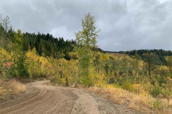
Mt Spokane via IEP Backroads
This route goes from Spirit Lake, ID to the top of Mt Spokane via Inland Empire Paper logging roads and Mt Spokane Nordic Trails. Starting from Brickel Creek Road (via IEP Brickel Creek Gate), to Idaho Road (M8), to Mica Road (M17), to Linder Ridge Road, through the IEP Mt. Spokane Gate and ending i...
Learn more about Mt Spokane via IEP Backroads
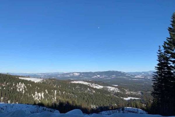
NF-2550 (HooDoo)
This route crosses over Mt HooDoo (elevation 5,119') from Blanchard to Priest River via National Forest Road 2550. The views up here are incredible on a clear day. Mt. Hoodoo is a popular spot for off-roading, hunting, and ATV's. It's also popular with snowmobilers during the winter months.
Learn more about NF-2550 (HooDoo)
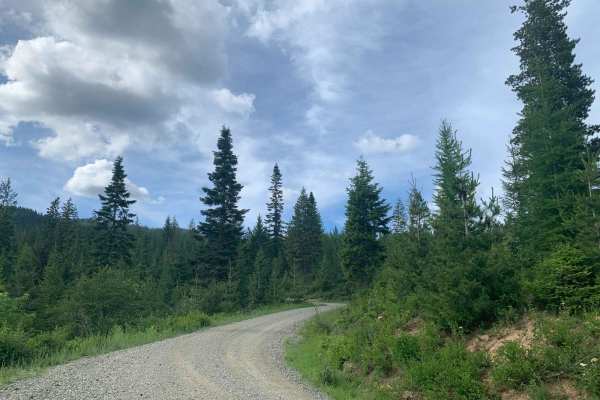
Brickel Creek Road
This road travels east/west through Inland Empire Paper's Brickel Creek Gate and connects to multiple other trails. The road is normally in decent shape with just a few ruts and washouts along the way. Mud or snow conditions may add to the difficulty level in spring and fall. This is a popular ar...
Learn more about Brickel Creek Road
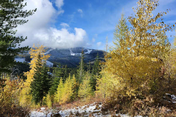
Lower Tripps
This route is an alternate path from the main route, "Mt Spokane via IEP Backroads". Lower Tripps runs parallel to Upper Tripps for about 3.6 miles from Junction 6 to Junction 11. These roads are typically maintained in summer and have clear road signs and maps along the way. Cell service is intermi...
Learn more about Lower Tripps
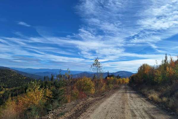
Mica Road & Upper Outer Limits
This route combines Mica Road & Upper Outer Limits to form an alternate side path from the main road "Mt Spokane via IEP Backroads". Starting at Junction 9 and heading east, you'll take Mica Road for around 2 miles until you hit Junction 8. From there you can continue on Upper Outer Limits for clos...
Learn more about Mica Road & Upper Outer Limits

LM 2697
You will need to air down before the trail. There is a staging area at the beginning of this trail. In the Summer and Fall, this is an easy smooth Forest Service Road for a 2-wheel drive. In the winter this is a more challenging. Grab a winch, your buddy, and a 6 pack. It is a great scenic drive, so...
Learn more about LM 2697
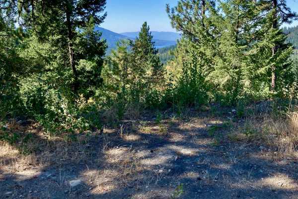
CDA-Hayden Lake View Route
Looking to check out the entire Rathdrum Prairie area? This is a great, scenic route featuring excellent views of the towns of Coeur d'Alene, Hayden, Athol, Rathdrum, and out to Post Falls. You also are treated to excellent vistas of Hayden Lake and the surrounding mountains. If you're new to the ar...
Learn more about CDA-Hayden Lake View Route
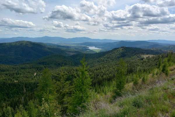
Round Top Mountain Loop
This loop is mostly narrow, single-lane roads with limited places to pull over or turn around, but you will be rewarded with some great views at the top of Round Top Mountain. It is drivable in a full width 4x4 but you will have branches rubbing both sides of your vehicle at times. The west side is...
Learn more about Round Top Mountain Loop
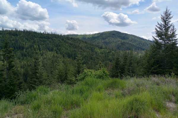
Thompson Creek
This route is on Inland Empire Paper (IEP) land through the Thompson Creek Gate. This is more or less the main road through this area. There are multiple places to pull over or turn around along the way. This route begins at the IEP gate and heads north for about 3 miles on Snake Trail Road. It then...
Learn more about Thompson Creek
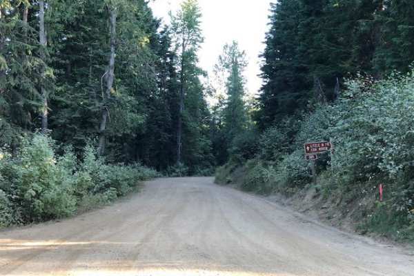
Johnson/Lakeview Rd. #278
This is a dirt road with small ruts and occasional deep ruts, clear width for large vehicles, and many off-shoot narrow trails for ATVs or dirt bikes.
Learn more about Johnson/Lakeview Rd. #278
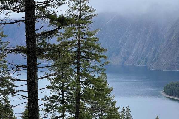
Cape Horn Mountain
This is a very scenic route out of Bayview. There are breathtaking views of the town and Lake Pend Oreille. The road starts as an easy fairly smooth road but after a couple of miles, it gets more rutted and rough. Choosing the correct line is required in a few spots for stock 4X4s, but anything lift...
Learn more about Cape Horn Mountain
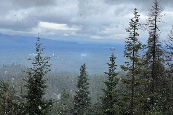
3 Sisters
This is an easy scenic route that can give you access to the 3 Sisters. The loop is very easy with any type of vehicle circling back to town on FS 297. There are great views of the mountains and the valley at multiple points along the way.
Learn more about 3 Sisters
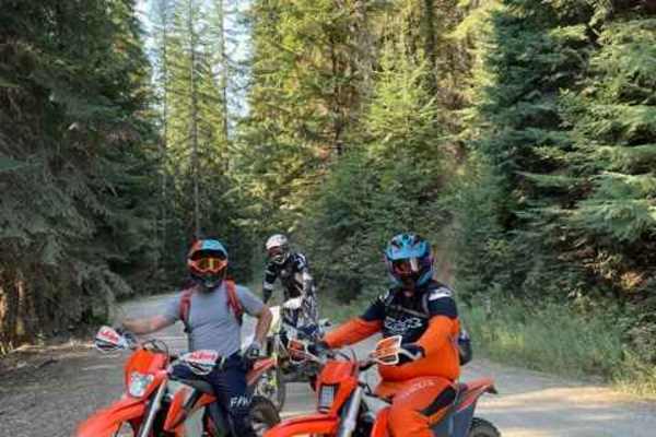
Hell's Canyon
Singletrack trail to connect Hayden Creek to the Spades Mountain Trails. The trail begins 5 miles up Hayden Creek Road from the end of the pavement. There is a parking area at the trailhead, although most people choose to ride the road to the trailhead. It can get heavy use. It is a 2-way trail, so ...
Learn more about Hell's Canyon
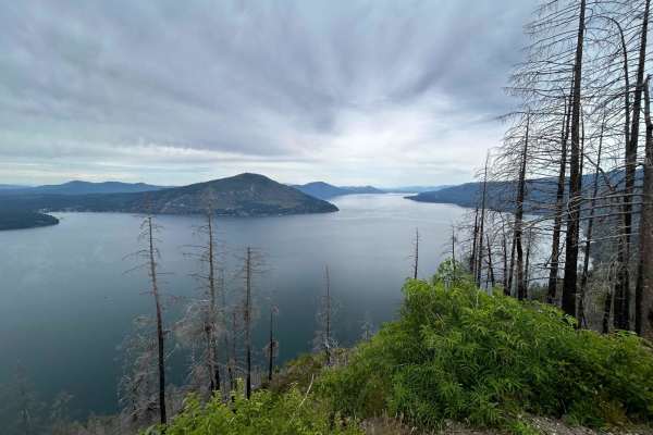
West Gold
West Gold is a more challenging and much rougher route to Lakeview but the views are worth it. Shortly after the start, there is a spur that takes you to the top of Bernard Peak. After that, the road is mostly single-lane with wider spots to let traffic by. There are lots of ruts and rock sections t...
Learn more about West Gold
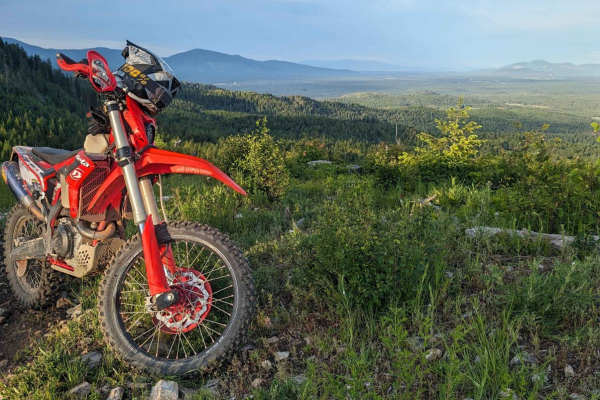
Little Blacktail Trail
Fun canyon with switchbacks and breathtaking mountain ridgelines that parallel Lake Pend Oreille. The trail is somewhat technical but would not consider this a "Hard Enduro". This is the middle connection section between Bayview and Talache Landing single track. This trail has a dirt bike and quad s...
Learn more about Little Blacktail Trail
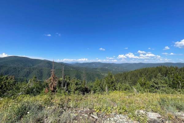
Badger Mountain
Although we "didn't see no stinking Badgers," we assume they must be around if this is the namesake. The trail starts with a narrow, rutted, and solid climb with some loose sections. About 3/4 of the way up, it becomes incredibly narrow even on a moto. Full-size vehicles will get paint damage. It's ...
Learn more about Badger Mountain
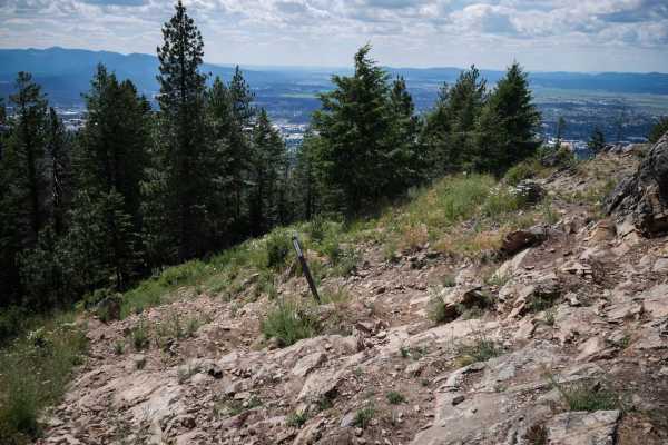
Canfield Mountain- Trail 1
Trail 1 is a 1.1-mile-long dirt bike trail in the Canfield Trail System that has some really technical climbs, making this one of the hardest trails in the system. The east end goes past a radio tower with a really amazing view towards the town of Coeur d'Alene and the lake. Then it starts as a wide...
Learn more about Canfield Mountain- Trail 1
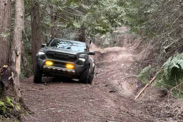
Temple Road
Either end of this trail starts as a two-lane forest road. The middle section is where this trail gets its rating. The middle section is single lane, moderately steep, and has rain washes and ruts up to two feet deep. The middle section of this trail is very tight with few places to pass, and even f...
Learn more about Temple Road
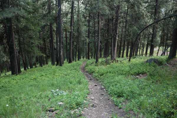
Canfield Mountain- Trail 3
Trail 3 starts off of Trail 1 with a downhill descent that is steep and full of loose rocks. It's also troughed with braided lines. The first part is the steepest. It keeps descending down to a road crossing, then goes through a pinch point. It's a bit less rocky after that first road crossing. It l...
Learn more about Canfield Mountain- Trail 3
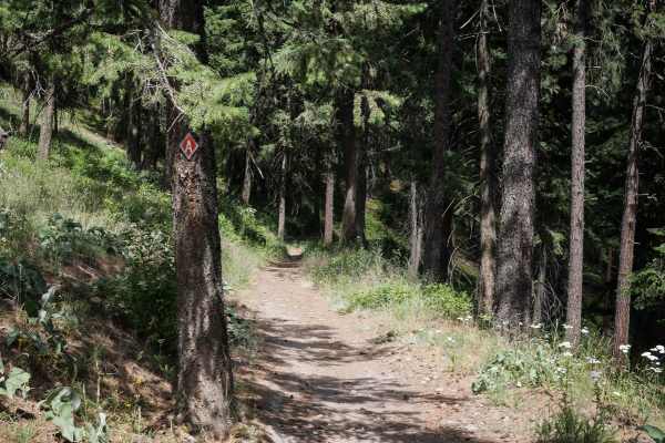
Canfield Mountain - Trail A (West)
This 2.8-mile-long dirt bike trail leaves from the west end from the bottom of Trail 1 and is much easier than Trail 1. It goes along a shelf of a hillside, on an easy single track that is not too narrow and a bit wider in spots. Then it goes along an open hillside with scattered pine trees. It's mo...
Learn more about Canfield Mountain - Trail A (West)
ATV trails near Spirit Lake, Idaho
Explore ATV-friendly trails near you. These trails are accessible for vehicles up to 50 inches wide, perfect for ATVs and smaller off-road machines.
Mt Spokane via IEP Backroads
This route goes from Spirit Lake, ID to the top of Mt Spokane via Inland Empire Paper logging roads and Mt Spokane Nordic Trails. Starting from Brickel Creek Road (via IEP Brickel Creek Gate), to Idaho Road (M8), to Mica Road (M17), to Linder Ridge Road, through the IEP Mt. Spokane Gate and ending i...
Learn more about Mt Spokane via IEP Backroads
NF-2550 (HooDoo)
This route crosses over Mt HooDoo (elevation 5,119') from Blanchard to Priest River via National Forest Road 2550. The views up here are incredible on a clear day. Mt. Hoodoo is a popular spot for off-roading, hunting, and ATV's. It's also popular with snowmobilers during the winter months.
Learn more about NF-2550 (HooDoo)
Brickel Creek Road
This road travels east/west through Inland Empire Paper's Brickel Creek Gate and connects to multiple other trails. The road is normally in decent shape with just a few ruts and washouts along the way. Mud or snow conditions may add to the difficulty level in spring and fall. This is a popular ar...
Learn more about Brickel Creek Road
Lower Tripps
This route is an alternate path from the main route, "Mt Spokane via IEP Backroads". Lower Tripps runs parallel to Upper Tripps for about 3.6 miles from Junction 6 to Junction 11. These roads are typically maintained in summer and have clear road signs and maps along the way. Cell service is intermi...
Learn more about Lower Tripps
UTV/side-by-side trails near Spirit Lake, Idaho
Find UTV and side-by-side trails near you. These trails accommodate vehicles up to 60 inches wide, ideal for UTVs, side-by-sides, and wider off-road rigs.
Mt Spokane via IEP Backroads
This route goes from Spirit Lake, ID to the top of Mt Spokane via Inland Empire Paper logging roads and Mt Spokane Nordic Trails. Starting from Brickel Creek Road (via IEP Brickel Creek Gate), to Idaho Road (M8), to Mica Road (M17), to Linder Ridge Road, through the IEP Mt. Spokane Gate and ending i...
Learn more about Mt Spokane via IEP Backroads
NF-2550 (HooDoo)
This route crosses over Mt HooDoo (elevation 5,119') from Blanchard to Priest River via National Forest Road 2550. The views up here are incredible on a clear day. Mt. Hoodoo is a popular spot for off-roading, hunting, and ATV's. It's also popular with snowmobilers during the winter months.
Learn more about NF-2550 (HooDoo)
Brickel Creek Road
This road travels east/west through Inland Empire Paper's Brickel Creek Gate and connects to multiple other trails. The road is normally in decent shape with just a few ruts and washouts along the way. Mud or snow conditions may add to the difficulty level in spring and fall. This is a popular ar...
Learn more about Brickel Creek Road
Lower Tripps
This route is an alternate path from the main route, "Mt Spokane via IEP Backroads". Lower Tripps runs parallel to Upper Tripps for about 3.6 miles from Junction 6 to Junction 11. These roads are typically maintained in summer and have clear road signs and maps along the way. Cell service is intermi...
Learn more about Lower Tripps
The onX Offroad Difference
onX Offroad combines trail photos, descriptions, difficulty ratings, width restrictions, seasonality, and more in a user-friendly interface. Available on all devices, with offline access and full compatibility with CarPlay and Android Auto. Discover what you're missing today!
Open Trail Map