
Dirt Bike Trails
Near Alpine, Colorado
Explore All Dirt Bike Trails Near Alpine, Colorado
Dirt Bike Trails Near Alpine, Colorado
Discover the best dirt bike trails near you. Browse trail maps, check difficulty ratings, and find your next adventure — whether you're looking for a quick ride or an all-day expedition.
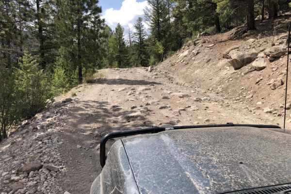
Wheeler Geologic - via Alder Creek (FS610)
Plan for a long and scenic day, or camp and make it an overnight or more. You can exit by Pool Table Road if you wish. There are no particular obstacles but a varying surface from smooth to loose large and small rock, to eroded, rutted, muddy areas and a few small stream crossings. Most of the trail...
Learn more about Wheeler Geologic - via Alder Creek (FS610)
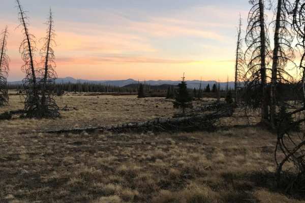
Agua Ramon
Agua Ramon offers an accessible yet scenic mountain drive in Colorado's Rio Grande National Forest, making it perfect for beginners and experienced overlanders seeking scenic dispersed camping. The route begins as a well-graded and maintained dirt road suitable for most standard vehicles, winding th...
Learn more about Agua Ramon
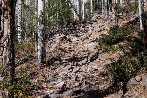
West Bear 932
This is a difficult single track through the Rio Grande National Forest that gains 2,000 feet of elevation from south to north. The south end starts in a grassy meadow at 9,000 feet, and heads into the trees. It crosses a tiny stream crossing, then gets pretty rocky right away as it starts climbing ...
Learn more about West Bear 932
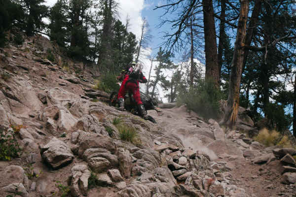
Alder Bench
The south end of the Alder Bench single-track starts on Alder Road, north of the town of South Fork, Colorado. The first couple of miles before connecting to the Palisades Trail are very technical. It climbs up several very sharp switchbacks that will require advanced maneuvers to make the turn. The...
Learn more about Alder Bench
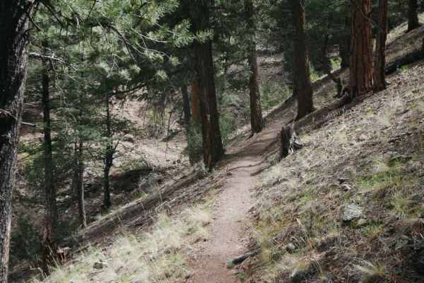
Palisade Trail
The Palisade Trail starts right off of Highway 149 north of the town of South Fork, Colorado. There is no staging area or anything, so you'll most likely need to be street-legal to access this trail from the highway. It starts with a rocky, loose climb with switchbacks. The trail starts in a drier t...
Learn more about Palisade Trail
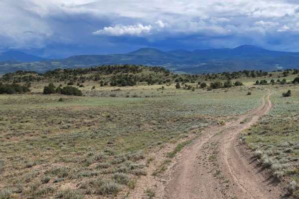
Pinon
Pinon is an easy 5.8-mile dead-end trail offering views of the wide valleys spanning Saguache and Rio Grande counties. This dirt and rocky route is suitable for stock high-clearance 4WD vehicles and SUVs. The trail is generally one to two vehicles wide and winds through rolling terrain with gentle g...
Learn more about Pinon
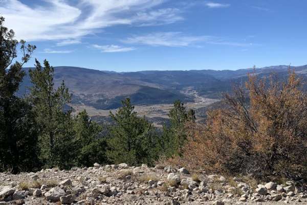
Baughman Cr
This is a long, out-and-back road that is well maintained and graded. It grants access to spurs that connect to other trails for ATV and motorcycles. There is some dispersed camping along the route. This road has no obstacles and is easily navigated, as long as snow is not present.
Learn more about Baughman Cr
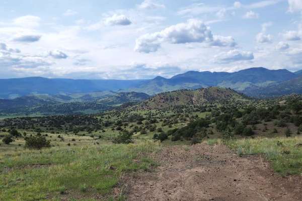
Pinon Cut Off
Pinon Cut Off is a 2.4-mile off-road connector trail along the border of Saguache and Rio Grande counties, near Twin Mountains, Colorado. Suitable for stock 4x4s and high-clearance vehicles.
The trail is rated a technical 3 out of 10 and is straightforward when dry. However, wet weather creates sli...
Learn more about Pinon Cut Off
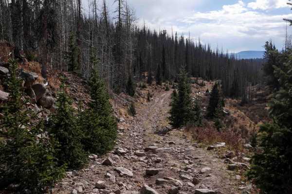
Middle Alder ATV - 797
The Middle Alder ATV trail descends through the Rio Grande National Forest for 5 miles, starting on Viers Creek Road, and ending on Alder Road. It's a fun rocky challenge and a popular area for hunters in the fall. The north end is a wide path through the pine trees and beetle kill. The whole route ...
Learn more about Middle Alder ATV - 797
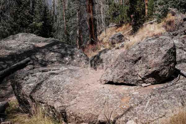
West Alder Trail - 798
West Alder is a fun and challenging single track in the Rio Grande National Forest near South Fork, Colorado in the La Garita Mountains. The south end of the trail enters a dense forest of pine trees with a high percentage of beetle kill. The forest has thin little trees that closely line the trail,...
Learn more about West Alder Trail - 798
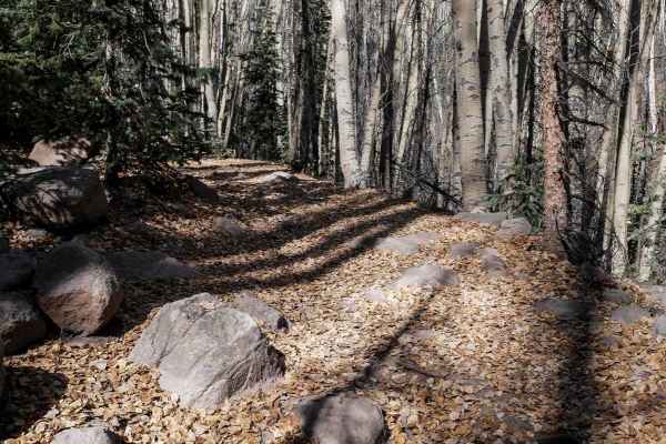
Bear Creek ATV 709
The Bear Creek ATV trail descends through the Rio Grande National Forest for almost 5 miles from north to south. The north end starts as a wide shelfy road above Bear Creek, going straight at the base of a wide open hillside. It starts to curve into the trees but continues at the base of the mountai...
Learn more about Bear Creek ATV 709
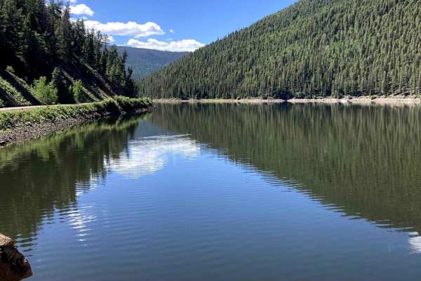
Beaver Creek Trail
Beaver Creek Trail is a fairly easy trail that is graded occasionally, making it a nice, smooth road for most of the year. The Elevation is high, reaching over 11,000 ft, so if you are from sea level, be prepared. This also means you could run into snow early in the year. You may find that early sea...
Learn more about Beaver Creek Trail
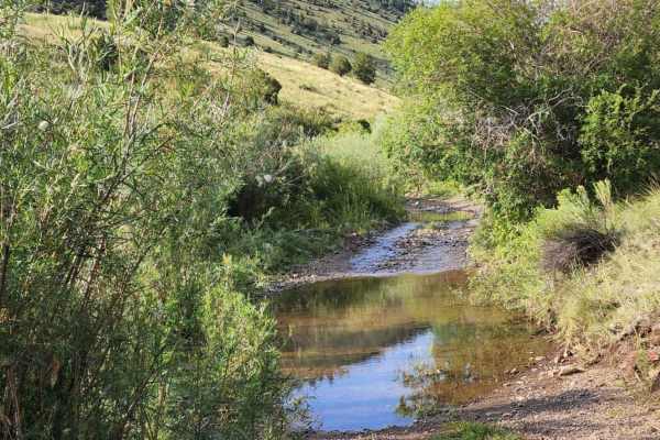
Lone Rock
Lone Rock is an engaging, moderately challenging 4.7-mile trail ideal for stock four-wheel-drive vehicles, high-clearance SUVs, and SxSs looking for scenic high-country views and varied terrain. Rising from an elevation of 8,869 feet to a peak of 10,192 feet, this route features a cumulative elevati...
Learn more about Lone Rock
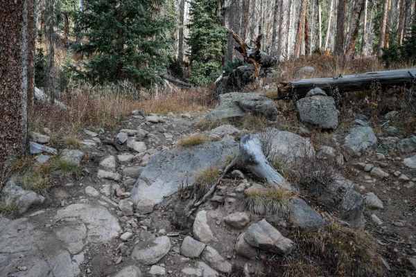
Embargo
Embargo is a really fun and challenging single track with advanced rock obstacles. From the south entrance, it enters the forest as a narrow single track, side-hilling and winding through the trees. The beginning is the calm before the storm, as it starts fast and flowy, but has many rocky challenge...
Learn more about Embargo
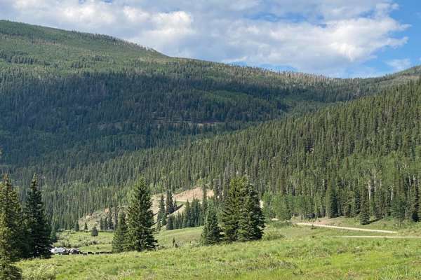
Park Creek Road-FR 380
Park Creek Road starts at Highway 160 to the north of Wolf Creek Pass. It takes you up 4,000 feet to an elevation of 11,627 feet. You will travel through Corral Park and then past sideroads such as Fox Mountain, Swale Lake, Treasure Creek, and many more, including the road to Summitville. There are ...
Learn more about Park Creek Road-FR 380
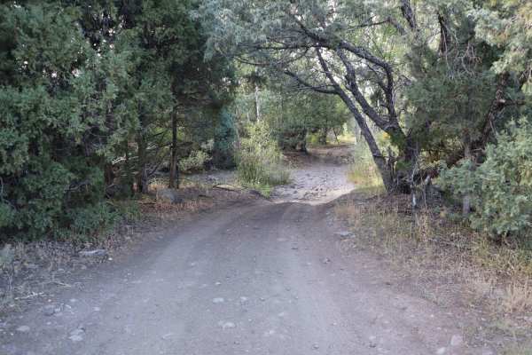
Schrader Creek
This road is closed to motorized vehicles late winter through early spring to provide big game security and protect the road from damage. Starting as a simple dirt trail, the first three to four miles weave and wind through open desert brush landscape. After four miles, the terrain turns more mounta...
Learn more about Schrader Creek
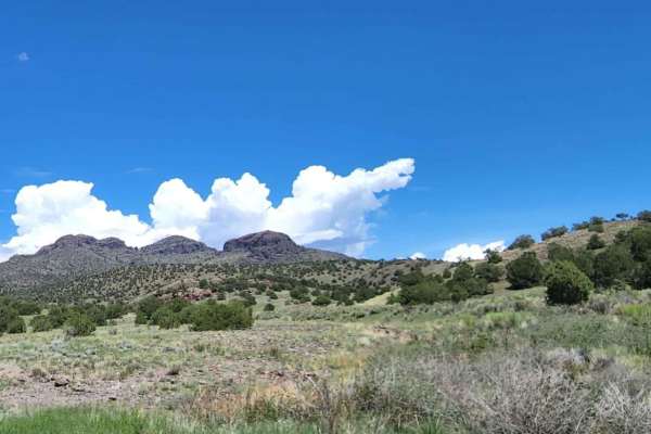
Natural Arch
Natural Arch is an easy, scenic 5.9-mile dirt road near Del Norte, Colorado, ideal for beginners, families, and high-clearance vehicles looking to access unique geological formations and hiking trails. Rising from 8,280 feet to a peak elevation of 8,810 feet, the route winds through rolling hills an...
Learn more about Natural Arch
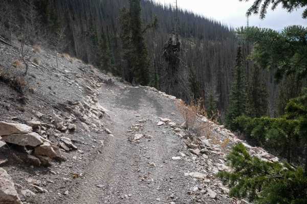
West Alder ATV 798
This 2.2-mile long ATV trail starts on Pool Table Road and ends on Alder Road north of the West Alder singletrack. There is a small parking area at the west entrance to the trail, and more camping and parking are available just before the trailhead on Pool Table Road. The trail enters the forest as ...
Learn more about West Alder ATV 798
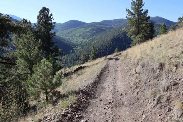
Burro Creek Trail
This advanced trail is open to ATVs, dirt bikes, mountain bikes, hikers, and horseback in the warmer months. Beginner riders are not recommended. There are over a dozen water crossings, some deeper than others. There is a section where the trail becomes the creek and you must travel up/downstream. D...
Learn more about Burro Creek Trail
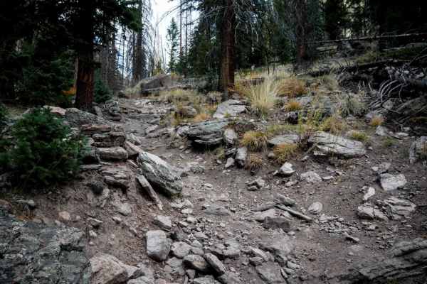
Cathedral
The north end of the Cathedral trail starts off the Baughman Creek Road at a pinch point and climbs up the mountain already with a lot of big embedded rocks and roots. It has tight switchbacks through the trees as it climbs up for a half mile, then descends back down for the entire rest of the trail...
Learn more about Cathedral
ATV trails near Alpine, Colorado
Explore ATV-friendly trails near you. These trails are accessible for vehicles up to 50 inches wide, perfect for ATVs and smaller off-road machines.
Wheeler Geologic - via Alder Creek (FS610)
Plan for a long and scenic day, or camp and make it an overnight or more. You can exit by Pool Table Road if you wish. There are no particular obstacles but a varying surface from smooth to loose large and small rock, to eroded, rutted, muddy areas and a few small stream crossings. Most of the trail...
Learn more about Wheeler Geologic - via Alder Creek (FS610)
Agua Ramon
Agua Ramon offers an accessible yet scenic mountain drive in Colorado's Rio Grande National Forest, making it perfect for beginners and experienced overlanders seeking scenic dispersed camping. The route begins as a well-graded and maintained dirt road suitable for most standard vehicles, winding th...
Learn more about Agua Ramon
Pinon
Pinon is an easy 5.8-mile dead-end trail offering views of the wide valleys spanning Saguache and Rio Grande counties. This dirt and rocky route is suitable for stock high-clearance 4WD vehicles and SUVs. The trail is generally one to two vehicles wide and winds through rolling terrain with gentle g...
Learn more about Pinon
Baughman Cr
This is a long, out-and-back road that is well maintained and graded. It grants access to spurs that connect to other trails for ATV and motorcycles. There is some dispersed camping along the route. This road has no obstacles and is easily navigated, as long as snow is not present.
Learn more about Baughman Cr
UTV/side-by-side trails near Alpine, Colorado
Find UTV and side-by-side trails near you. These trails accommodate vehicles up to 60 inches wide, ideal for UTVs, side-by-sides, and wider off-road rigs.
Wheeler Geologic - via Alder Creek (FS610)
Plan for a long and scenic day, or camp and make it an overnight or more. You can exit by Pool Table Road if you wish. There are no particular obstacles but a varying surface from smooth to loose large and small rock, to eroded, rutted, muddy areas and a few small stream crossings. Most of the trail...
Learn more about Wheeler Geologic - via Alder Creek (FS610)
Pinon
Pinon is an easy 5.8-mile dead-end trail offering views of the wide valleys spanning Saguache and Rio Grande counties. This dirt and rocky route is suitable for stock high-clearance 4WD vehicles and SUVs. The trail is generally one to two vehicles wide and winds through rolling terrain with gentle g...
Learn more about Pinon
Pinon Cut Off
Pinon Cut Off is a 2.4-mile off-road connector trail along the border of Saguache and Rio Grande counties, near Twin Mountains, Colorado. Suitable for stock 4x4s and high-clearance vehicles.
The trail is rated a technical 3 out of 10 and is straightforward when dry. However, wet weather creates sli...
Learn more about Pinon Cut Off
Beaver Creek Trail
Beaver Creek Trail is a fairly easy trail that is graded occasionally, making it a nice, smooth road for most of the year. The Elevation is high, reaching over 11,000 ft, so if you are from sea level, be prepared. This also means you could run into snow early in the year. You may find that early sea...
Learn more about Beaver Creek Trail
The onX Offroad Difference
onX Offroad combines trail photos, descriptions, difficulty ratings, width restrictions, seasonality, and more in a user-friendly interface. Available on all devices, with offline access and full compatibility with CarPlay and Android Auto. Discover what you're missing today!
Open Trail Map