Wheeler Geologic - via Alder Creek (FS610)

Total Miles 26.9
Technical Rating
5 Moderate
Best Time Summer, Fall
Trail Type High-Clearance 4x4 Trail
Accessible By
Open Trail Map

Trail Overview

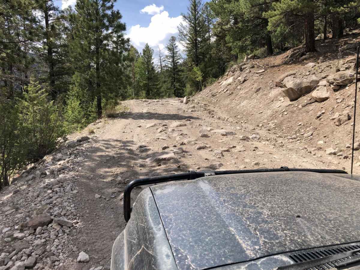
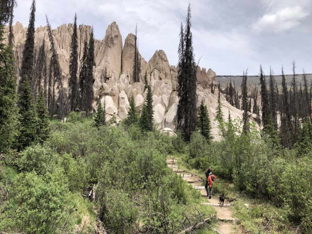
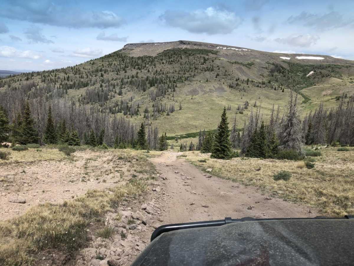
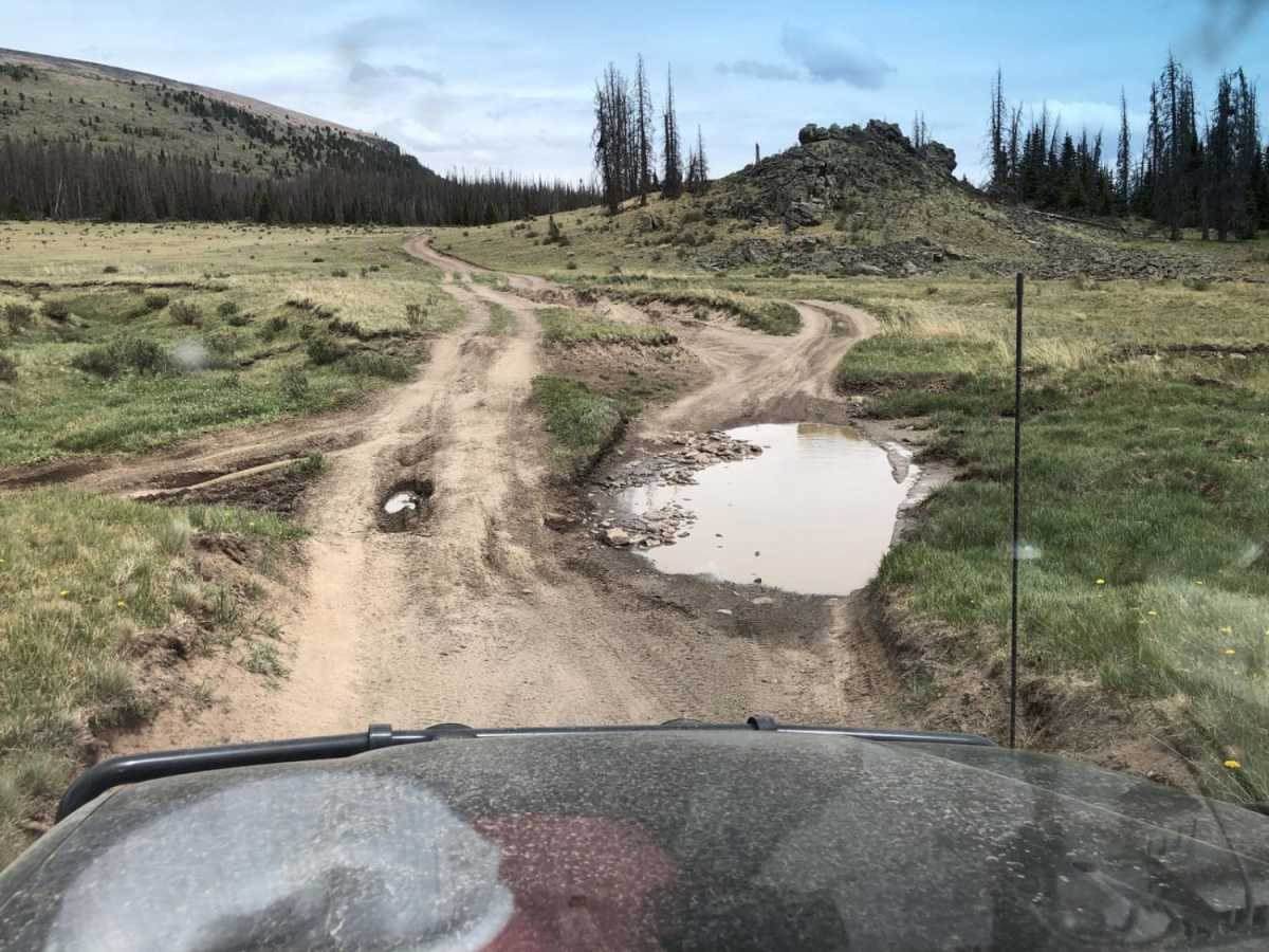
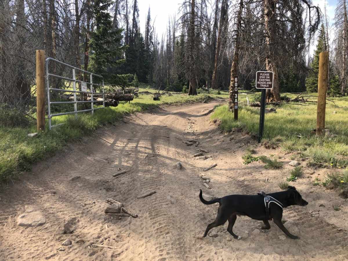
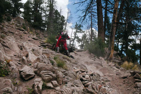
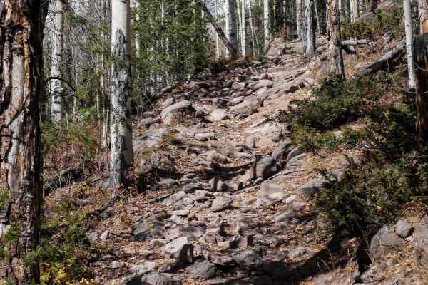
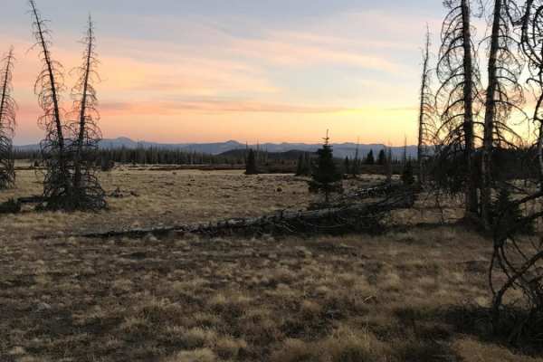
Plan for a long and scenic day, or camp and make it an overnight or more. You can exit by Pool Table Road if you wish. There are no particular obstacles but a varying surface from smooth to loose large and small rock, to eroded, rutted, muddy areas and a few small stream crossings. Most of the trail is above 9,000 feet, going as high as nearly 12,000 feet. Be prepared for extreme weather at these altitudes. Freezing temperatures and snow are possible mid-summer. Thunderstorms and lightning can be extremely hazardous. There is good cell service on much of the trail, but plan as if you will not have it. Most parts are narrow, but there are ample places to pull over for oncoming traffic. Allow 2-4 hours to hike and explore the geologic area at the trail end. Take the left fork on the hiking trail towards Halfmoon Pass to get to the overlook. There is dispersed primitive camping at the end and along the way, and note that a substantial portion of the road has wilderness area on both sides.

Photos of Wheeler Geologic - via Alder Creek (FS610)

Difficulty

The trail is remote, has sections above treeline, and a few steep descents and climbs.

History

The remote Wheeler Geologic Area is an eroded outcropping of volcanic ash, the result of eruptions from the La Garita Caldera approximately 25 million years ago. The area was designated a National Monument from 1908 until 1950 and was Colorado's first National Monument. It is now part of the La Garita Wilderness in the Rio Grande National Forest.

Technical Rating

5

Status Reports

Add Status Report
Ken Wuytens
Jul 25, 2025
Open
We ran this trail starting at Wagon Wheel Gap via Pool Table Road to the parking area to hike to the WGA. The first 10 miles is well maintained FS road to Hanson's Mill. Well maintained vault toilets there. Then you begin a 14 mile leg to the site. It was rough in a lot of areas, cobblestoned conditions and a couple of fairly deep mud holes. They had firm bottoms, the 6 Jeeps with us, all with 2 inch or more lifts had no problems. A few 6 to 12 inch rocks in the trail. The hike from the parking area to the bench at the overlook is .8 tenths of a mile with an elevation gain of about 600 feet. Most of our group was is their 70's, decent health. It took about 40 minutes, resting periodically for air to get to the overlook. Amazing views, took lots of pictures, the hike back was downhill, so much easier. In my Gladiator Rubicon, I was in low range, mostly in 3rd, 4th, and fifth gear in the auto trans. We left Creede at 8 am and were back by 4:30, quite a few stops/photo opps.
david armijo
Jul 24, 2025
Open
this is an easy trail. not sure why the high rating. just rocky fire road.
David M
Jul 06, 2025
Open
Open all the way to Wheeler. Very little mud.
Corey Bryan
Jun 22, 2025
Open
600 3A to wheeler was closed.
unsound84@yahoo.com unsound84@yahoo.com
Jun 14, 2025
Open
Harrison Kick
Jun 03, 2025
Open
first half of the trail is open then you are met with a locked gate. This is not a hard trail but it is very rough. About 60-75% of the trail is rock gardens with 12-24in rocks so it is very slow going with minimal smooth trails.
Zack Permenter
Oct 03, 2024
Open
Trail is extremely rough. Only did the first 7ish miles before turning around. Very slow going with lots of loose 8-12" rocks everywhere.
Dayna Hancock
Jun 25, 2024
Open
The trail is OPEN.
Colin Wichers
May 26, 2024
Open
Jeremy Denham
Sep 09, 2023
Open
Layne Steve
Aug 29, 2023
Open
Wayne Crowther
Jul 30, 2023
Open
Rod N Shell Fahrenbruch
Jun 24, 2023
Open
John Demaris
Jun 20, 2023
Open

Wheeler Geologic - via Alder Creek (FS610) Trail can be accessed by the following ride types:

  • Single Track
  • 50 Inch
  • 60 Inch
  • High Clearance

Wheeler Geologic - via Alder Creek (FS610) Map

The onX Offroad Difference

onX Offroad combines trail photos, descriptions, difficulty ratings, width restrictions, seasonality, and more in a user-friendly interface. Available on all devices, with offline access and full compatibility with CarPlay and Android Auto. Discover what you're missing today!

Open Trail Map